
May 23, 2026 · Construction Surveys, Geomatics, Surveying
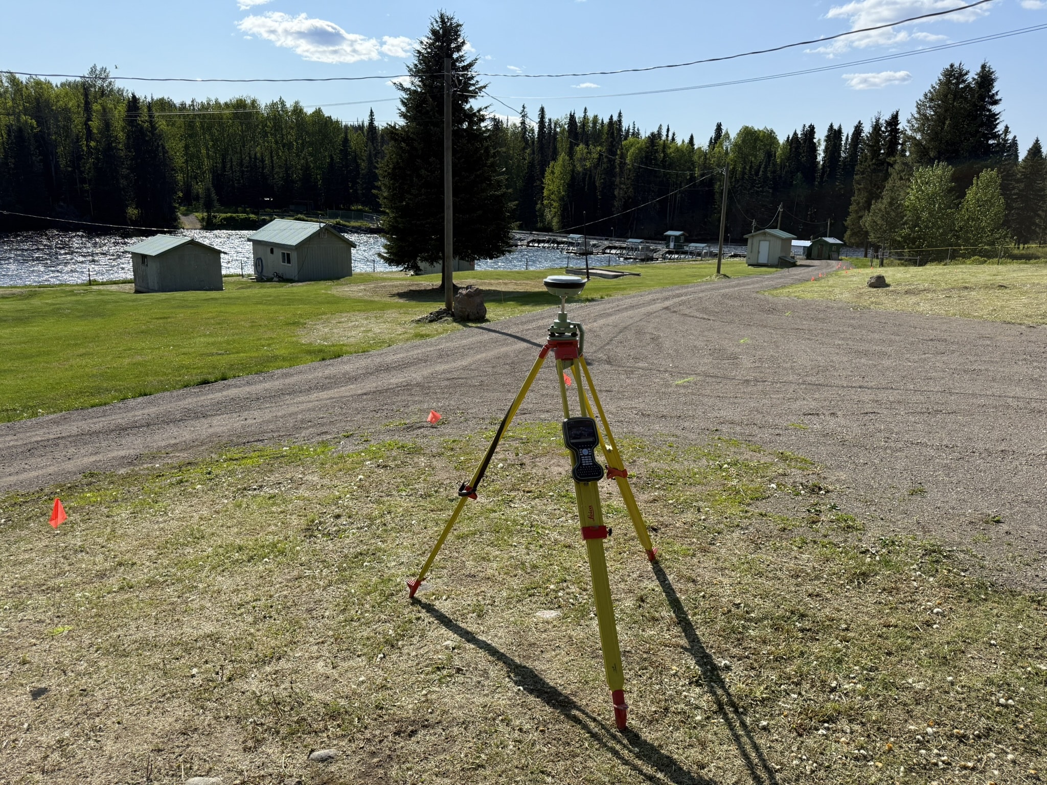
Topographic Surveys for Construction and Site Planning in BC and Alberta
Existing site conditions, surface data, grading, drainage, earthworks, and project survey support for contractors and consultants.
Topographic Surveys for Construction and Site Planning in BC, Alberta and Yukon
Construction and site planning work often starts with understanding the existing ground. PCI Surveys provides topographic surveys and geomatics services for contractors, consultants, project managers, developers, and construction teams across British Columbia, Alberta and Yukon.Our crews collect practical site data for grading, drainage, earthworks, design review, access planning, construction layout, volume calculations, and project field support.
Topographic Survey Data for Construction Projects
Topographic surveys help project teams understand the shape of the ground and the features already present on site. PCI Surveys supports construction and planning work with survey services such as:- Existing ground surfaces
- Site features and visible infrastructure
- Ditches, slopes, banks, and drainage areas
- Roads, access routes, pads, and work areas
- Stockpiles, excavations, and fill areas
- Topographic pickup for design support
- Drone mapping, photogrammetry, and LiDAR support
- Surface data for construction planning
For dedicated service pages, view our topographic surveying in Edmonton, topographic surveying in Vancouver, topographic surveying in Prince George and topographic surveying in Whitehorse.
Existing Conditions Surveys
Before design updates or construction planning begins, project teams often need current site information. PCI Surveys provides existing conditions surveys for construction, engineering, environmental, industrial, municipal, and infrastructure projects.Grading and Drainage Support
Topographic survey data can help review slopes, low areas, drainage paths, tie-ins, and proposed grades. This information is useful for grading plans, drainage improvements, earthworks, and site preparation.Earthworks and Surface Data
For pads, roads, excavations, stockpiles, and construction areas, topo data can support volume calculations, progress tracking, surface comparisons, and field planning during active work.Drone Mapping and LiDAR
For larger areas or rough terrain, drone mapping and LiDAR can help collect broader site information efficiently. PCI Surveys uses drone-based methods where appropriate to support terrain models and project deliverables.Topo Surveys for Grading, Drainage, and Earthworks
Topographic survey support is useful when contractors and consultants need to understand existing elevations, drainage patterns, surface changes, and site constraints. PCI Surveys can help with:- Checking existing ground before construction starts
- Collecting surface data for grading and drainage review
- Measuring stockpiles, excavations, and fill areas
- Supporting earthworks planning and progress measurements
- Providing field data for design updates and project records
Topographic survey data can also support construction layout, grades, site control and as-built survey work. View our construction surveying services for related project support.
Site Data Contractors and Consultants Can Use
Our goal is to provide clear survey information that supports real project decisions. That may include ground shots, surface models, contours, feature pickup, drone mapping, volume data, drainage information, or field measurements needed for construction and site planning.Using Drone Mapping and Ground Survey Together
Some sites are best surveyed using a mix of ground survey and drone-based mapping. Ground survey is useful for detailed pickup, control, hard surfaces, and specific site features. Drone mapping and LiDAR can be useful for larger areas, terrain models, stockpiles, earthworks, and project progress documentation.- Construction and earthworks sites
- Industrial and commercial properties
- Mining and resource project areas
- Roads, access routes, and corridors
- Drainage areas and rough terrain
- Stockpile and volume calculation areas
For larger project sites, view our drone LiDAR service pages for Alberta, the Lower Mainland, Northern BC and Yukon.
Survey Support for Construction and Site Planning
PCI Surveys focuses on construction surveying, topographic surveys, site control, grade checks, as-built surveys, drone mapping, and project survey support for contractors, consultants, and project teams.Our work is geared toward active construction sites, site planning, earthworks, grading, drainage, infrastructure, environmental projects, mining support, and field data collection.
For local construction survey support, view our pages for construction surveying in Edmonton, construction surveying in Vancouver, construction surveying in Prince George and construction surveying in Whitehorse.
Topographic Surveys in British Columbia, Alberta and Yukon
PCI Surveys provides topographic survey services across BC and Alberta, including:- British Columbia: Prince George, Vancouver, Vancouver Island, Kamloops, Fort St. John, Terrace, Kitimat, and northern BC
- Alberta: Edmonton, Red Deer, Grande Prairie, Fort McMurray, Athabasca, Peace River, and surrounding areas
- Yukon: Whitehorse, Dawson City, Mayo, Carmacks and Watson Lake
Topographic Surveys for Different Project Types
PCI Surveys supports contractors and consultants working on a wide range of project types, including:- Commercial and industrial construction
- Roads, access routes, and civil works
- Earthworks and grading projects
- Mining and resource projects
- Environmental and remediation sites
- Municipal and infrastructure work
- Drainage and site improvement projects
- Construction planning and design support
For mining, reclamation, stockpile and resource project support, view our mining surveying in Northern BC and mining surveying in Yukon pages.
Construction and Planning Resources
Contractors and project managers may also find useful information through regional construction organizations such as the BC Construction Association and the Edmonton Construction Association.PCI Surveys provides the field survey support needed for construction and site planning, including topographic surveys, site control, grade checks, drone mapping, surface data, and progress measurements.
Related Topographic Surveying and Mapping Services
View dedicated PCI Surveys service pages for topographic surveying, construction surveying, drone LiDAR and mining survey support:


