
November 9, 2026 · Construction Surveys, Surveying, Geomatics
Construction Surveying in Alberta: Edmonton, the Industrial Heartland and the North
City infill, plant sites and northern lease roads are three different survey problems. Here is how construction surveying works across Alberta, and what it takes to get the layout right the first time.
Three kinds of Alberta site
Alberta builds in three very different settings, and a construction survey crew based near Edmonton works in all of them inside a month. They are not the same job.Edmonton and the capital region is urban and suburban work. Infill lots with zero setback, commercial and institutional buildings, new subdivisions, and the roads and services that connect them. Sites are tight, the neighbours are close, and the ground is clay that moves with the frost. Layout has to hold to millimetres because there is no room to absorb an error.
The Industrial Heartland and plant sites north-east of the city are a different world. Large process facilities, pipe racks, tank farms and modules arriving by road. Much of it is brownfield, where the underground has been added to for decades and the record drawings stopped matching the ground long ago. Every site has its own plant grid, its own orientation and its own permit system, and the survey has to fit all three.
The north, from Fort McMurray and Grande Prairie through Peace River to High Level, is lease roads, well pads, camps, compressor sites and bridges, often hours from the nearest town. The ground is muskeg and clay, much of the work happens in winter because that is when the ground will carry equipment, and a return trip to fix a mistake costs more than the survey did.
What the three share is a short season and a hard climate. Frost heave, spring road bans and long drives mean field time is expensive everywhere in the province. The survey has to be right when the crew leaves.
Construction surveying on Alberta projects
Construction surveying turns a set of drawings into marks on the ground that a crew can build to. On an Alberta project it runs through four stages.Control. Every contractor on the site works from the same horizontal and vertical control, so it is set first and checked hardest. Most Alberta projects run on 3TM coordinates tied to Alberta Survey Control Markers, and industrial sites usually add a plant grid on top. Sorting out which system the drawings are in, and proving the control agrees with it, happens before the first stake goes in.
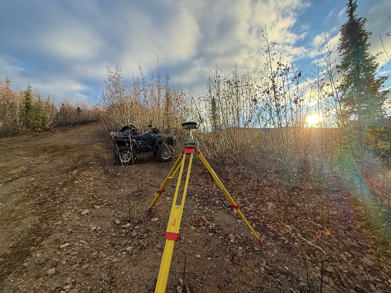
Layout. Building corners, gridlines, footings, anchor bolts, curb and gutter, deep and shallow utilities, and pile locations. Alberta builds on piles more than most places, and pile layout is some of the least forgiving work there is: a pile in the wrong place is found when the steel arrives. Stakes are marked with offsets and cut or fill so the crew using them does not have to guess.
Checking as it is built. Formwork, embedded items and elevations are verified before the pour, not after. Earthworks and subgrade are checked against design so that quantities and grades are settled while the equipment is still on site.
As-built. A record of what was actually constructed and where: pile locations, services before they are buried, finished grades and structures. On industrial sites the as-built is what the next project will rely on, so it is tied to the same control and delivered in the plant's own coordinate system.
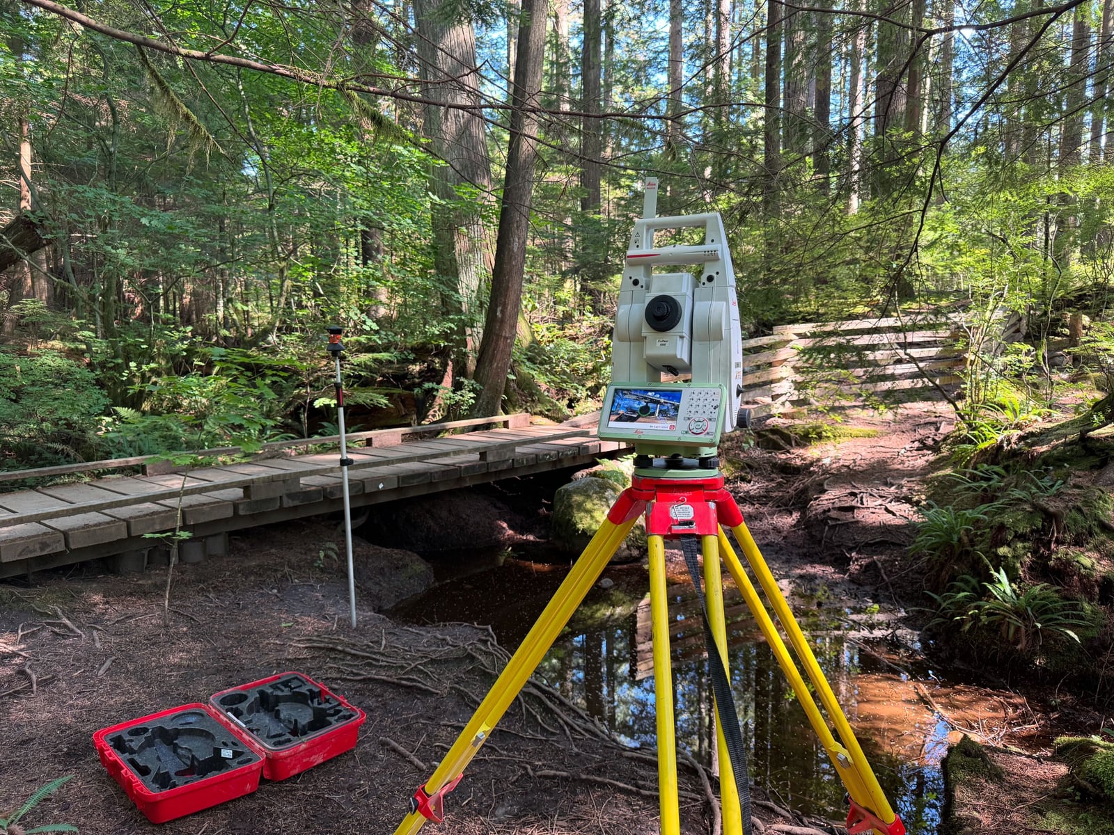
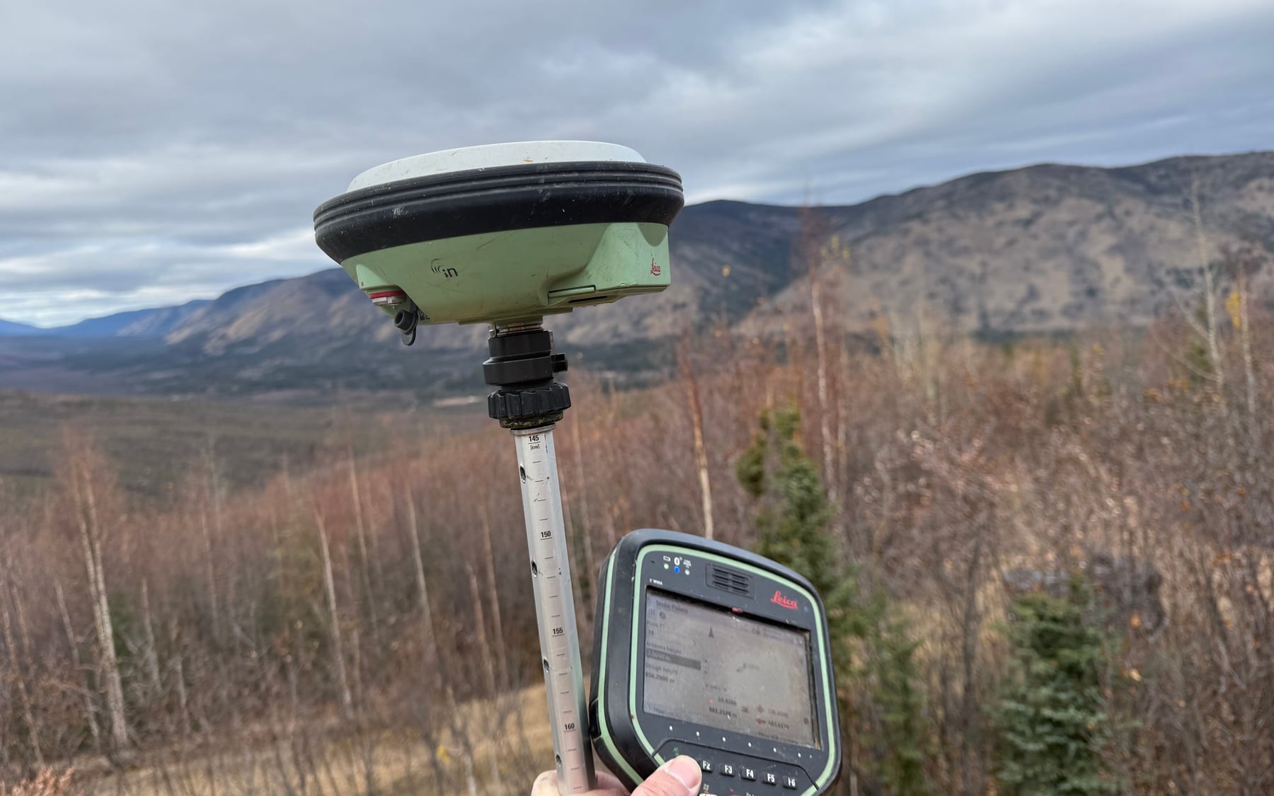
Crews carry both GNSS and total stations. GNSS covers open ground and long distances quickly. The total station takes over for structures, for anything measured in millimetres, and wherever trees, buildings or deep excavations block the sky.
Locating before the ground is broken
In Alberta a ground disturbance starts with a request to Utility Safety Partners, which notifies the registered owners of buried facilities. That covers the utilities up to the property or the meter. It does not cover what the owner installed on their own side: yard lighting, power and gas between buildings, private water and sewer, fibre, instrumentation and old lines nobody recorded. On plant sites and older commercial properties, those private lines are most of what is in the ground.PCI locates and marks private utilities with electromagnetic locators and ground penetrating radar, and scans concrete before coring or cutting. Because the same company is doing the layout, locates and survey can be booked together and the marks tied to the same control. See private line locating in Edmonton, GPR scanning and line locating across northern Alberta.
Winter, frost and the Alberta season
Construction here does not stop for winter, and a good part of the northern work only happens then. That changes how a survey is done. Control set in frozen ground can move at breakup and is checked again in spring. Stakes have to go into frost, so they are placed and protected to survive snow clearing. Short days and cold limit how long instruments and people can work, and travel plans allow for road bans and weather. A crew that plans for those things finishes on schedule. One that does not comes back twice.Mobilizing across the province
PCI's Alberta crews work from the Edmonton area and travel across the province, from the capital region and central Alberta to the north. Remote sites are planned as part of the quote: travel, camp or accommodation, site orientation and access by truck, ATV or helicopter where the road ends. For projects that cross provincial lines, the same company has crews in Prince George, Vancouver and Whitehorse, so one team can follow a corridor or a client from Alberta into BC and the Yukon.PCI Surveys is a First Nations owned company. On projects with Indigenous procurement or participation requirements, that means a defined technical scope delivered by the company. Details are on our First Nations partnerships page.
Construction survey services in Alberta
Site control · construction layout and staking · pile, gridline and anchor bolt layout · curb, road and utility layout · grade checks · topographic surveys · as-built surveys · volumes and earthworks · private utility locating · ground penetrating radar and concrete scanning · drone mapping and photogrammetry · drone LiDAR.
Related: construction surveying in Edmonton, topographic surveying in Edmonton, construction layout and staking, as-built surveys, drone LiDAR in Alberta, construction surveying from breaking ground to as-built, and the Edmonton and Sherwood Park pages.
Get a price for your Alberta project
Tell us the site, the scope and the timing, and in most cases you will see a price as soon as you submit. Attach drawings if you have them, or outline the area on the map. If the site is remote or winter-access only, say so and the mobilization is planned into the quote.Request a quote or call the office nearest your project. Crews are out seven days a week, 6 a.m. to 7 p.m.


