
Accurate data.Smarter builds.Safer projects.
Construction surveying, private utility locating, GPR scanning, and drone mapping & LiDAR services across British Columbia, Alberta and the Yukon.
Start Your QuoteScope, schedule & pricing — in minutes
First Nations
Owned
Fast Response
& Reliable
Advanced
Technology
Across BC, AB
& Yukon
The Fastest Quote In The Industry
Priced, booked and scheduled — before other companies call you back
No phone tag. No waiting three days for a number. Describe your project, show us the site, and watch your price appear on screen, then book and pay online if you like it. Any hour. Any day.
Show us the job
Chat it, type it, sketch your site on a map or drop in your drawings — whatever you have, in plain language.
Watch your price appear
Real quotes with real line items, on screen in minutes — not a callback promise. Larger projects go straight to our estimating team for a fast, personal number.
Book it. Done.
Accept online, pay by card if it suits you, and you're on the schedule. Track everything — quotes, files, deliverables — in your client portal.
Free, no obligation, under two minutes — and a real person double-checks every job before crews roll.
Our Services
Specialized Field Services. Real Results.
Precision data. Reliable deliverables. Practical solutions for every stage of construction and development.
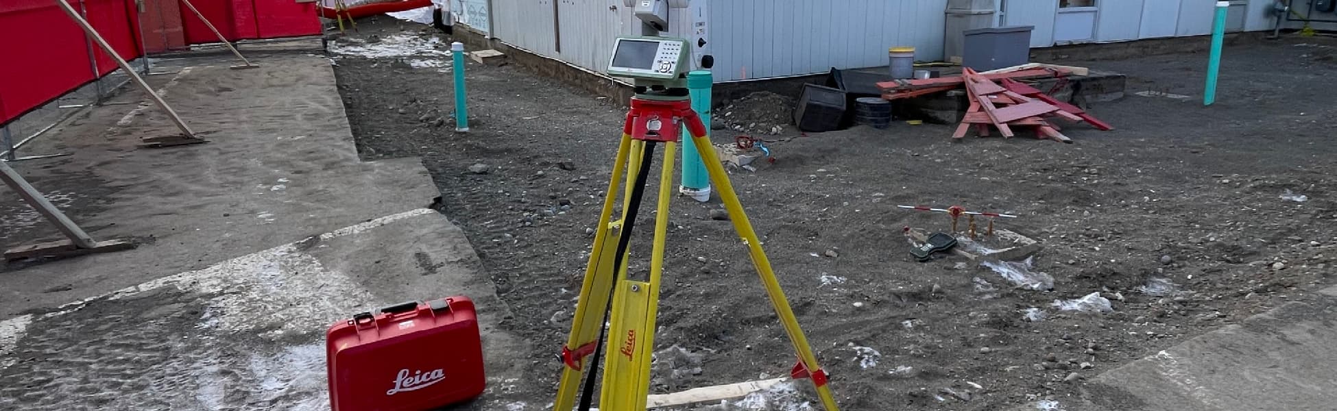
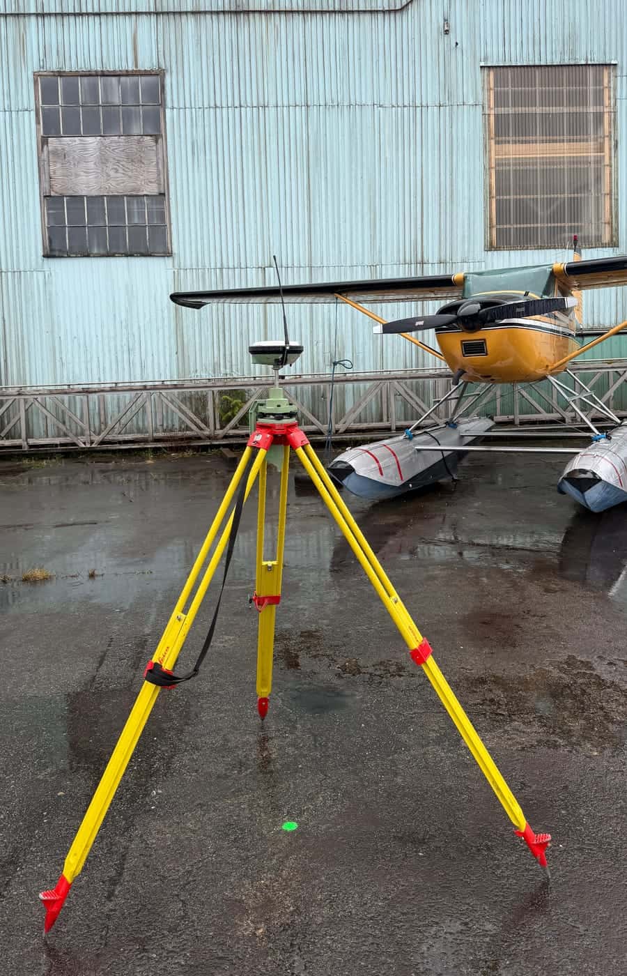
Construction Surveying
Control, topographic, as-built, volume calculations and more.
Learn More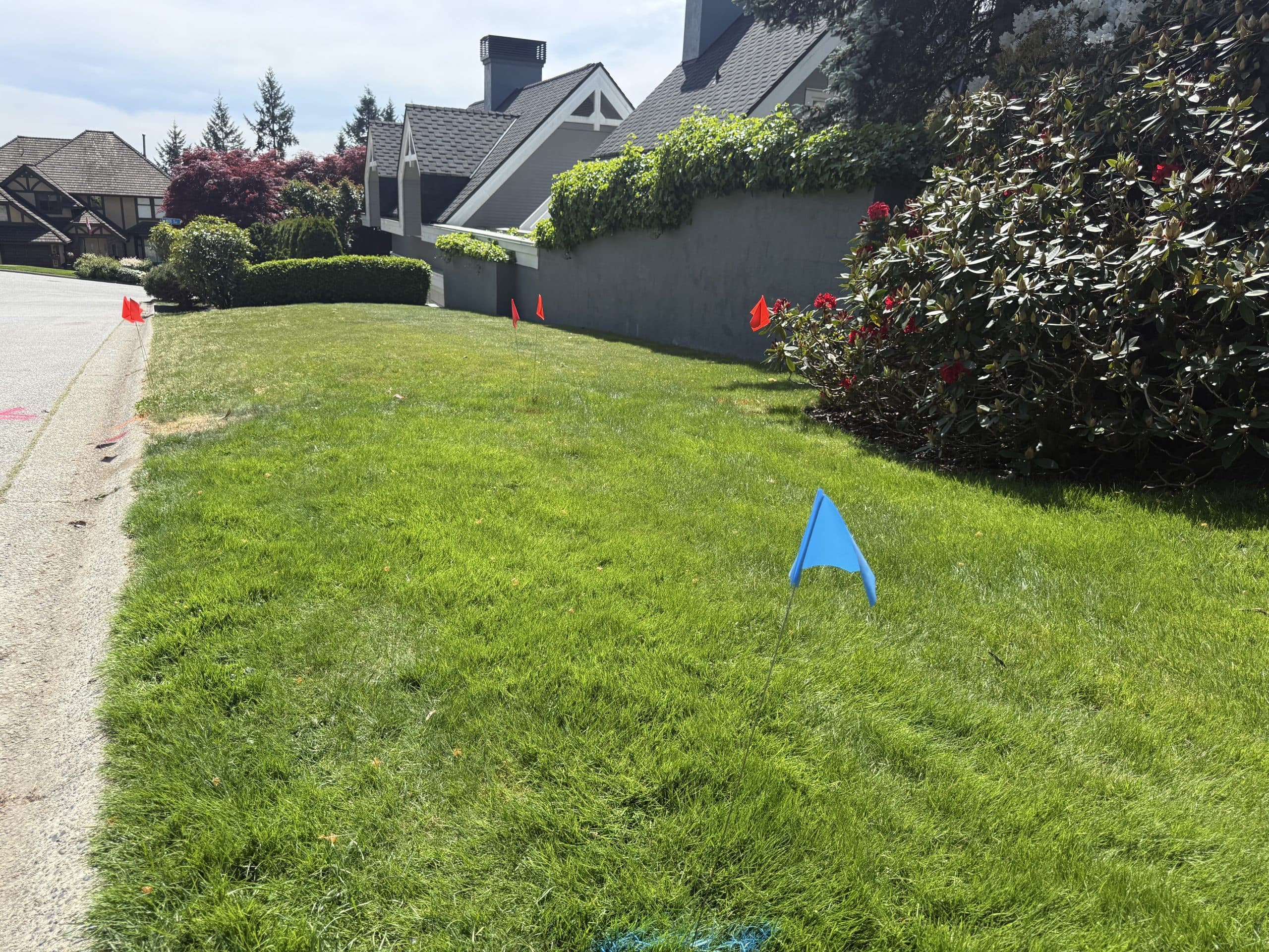
Private Utility Locating
Locate private utilities before you dig. Electromagnetic, sonde & camera.
Learn More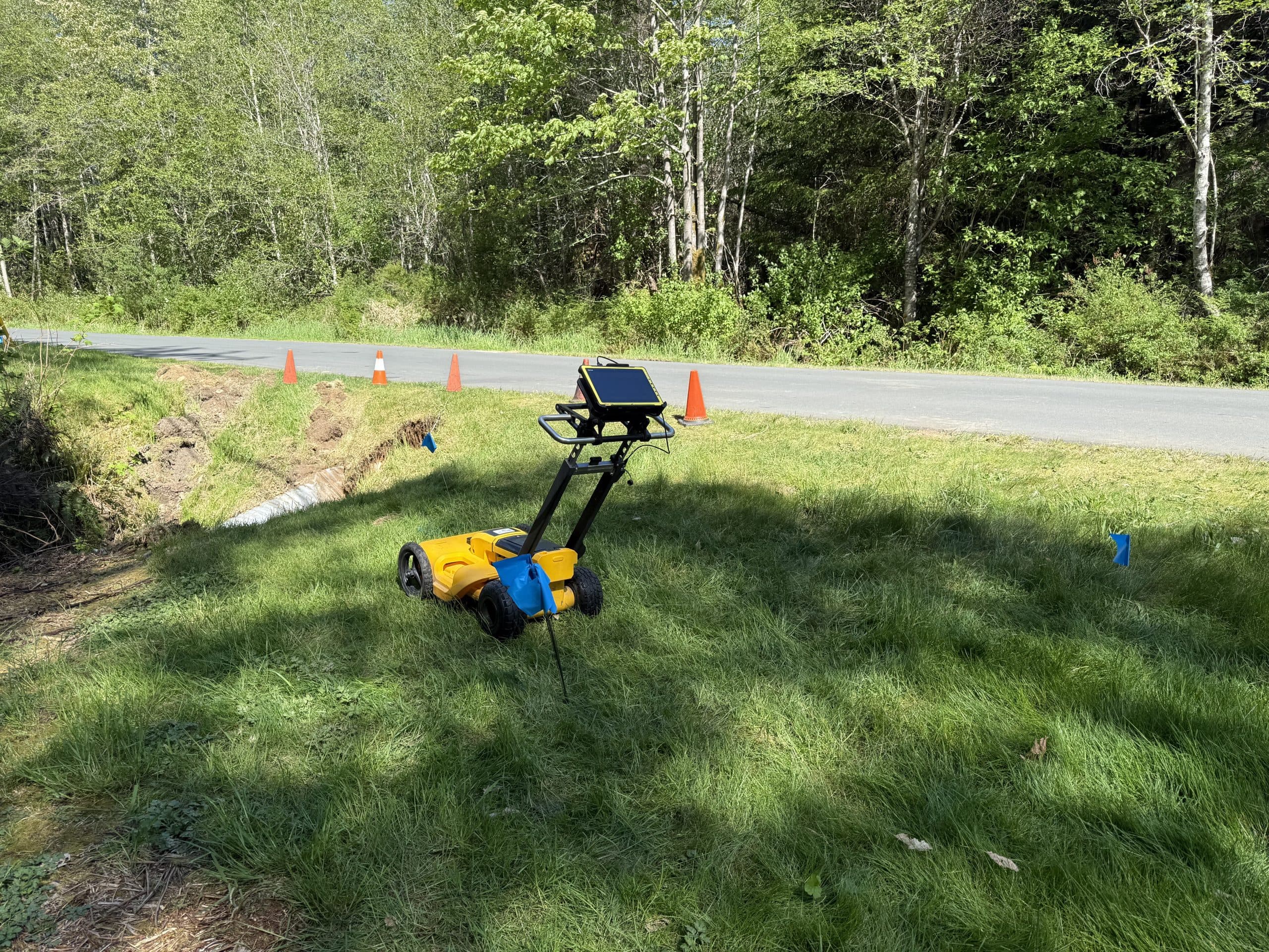
Ground-Penetrating Radar
Locate buried utilities, scan concrete, and identify subsurface anomalies.
Learn More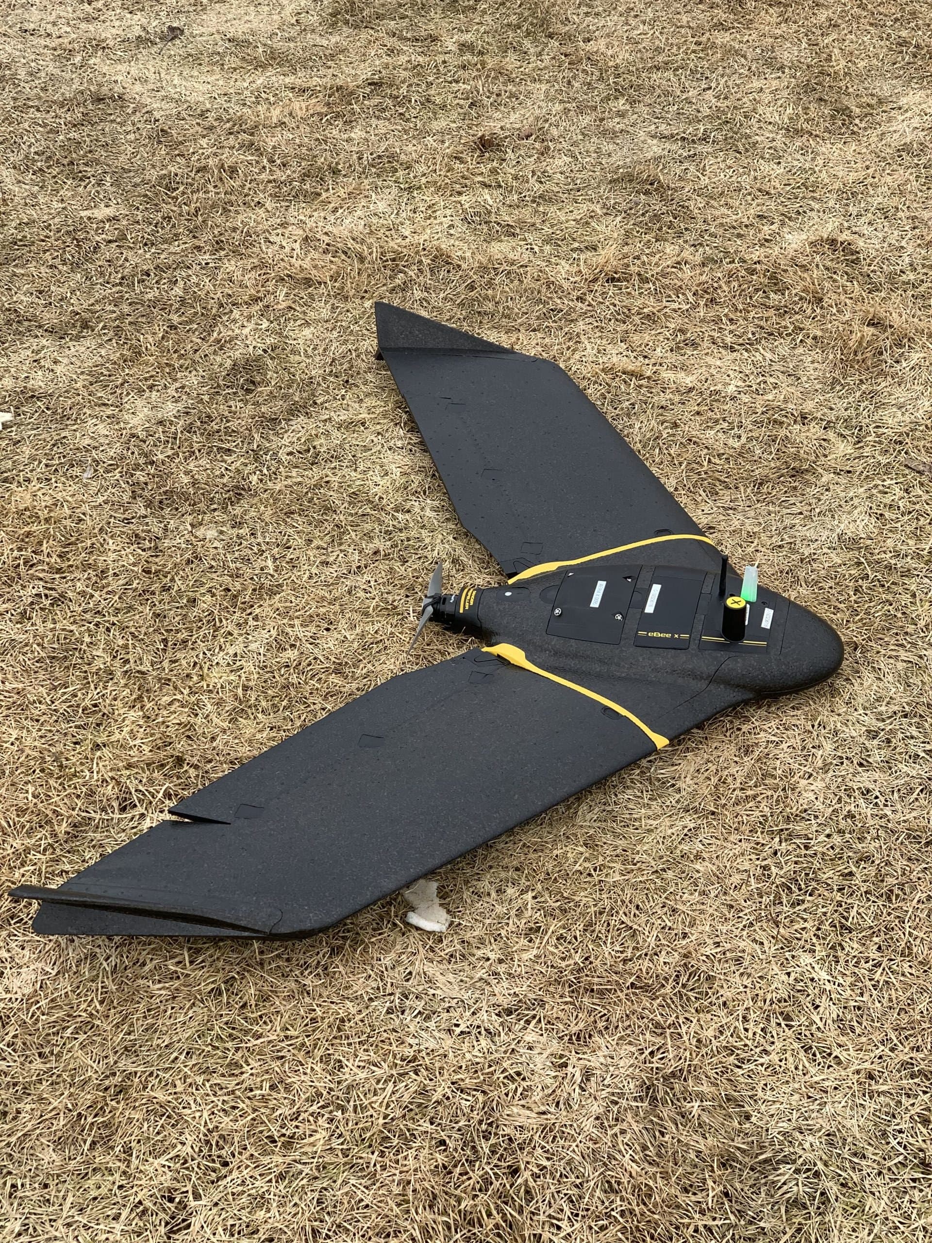
Drone Mapping
High-resolution aerial mapping, orthophotos and progress tracking.
Learn More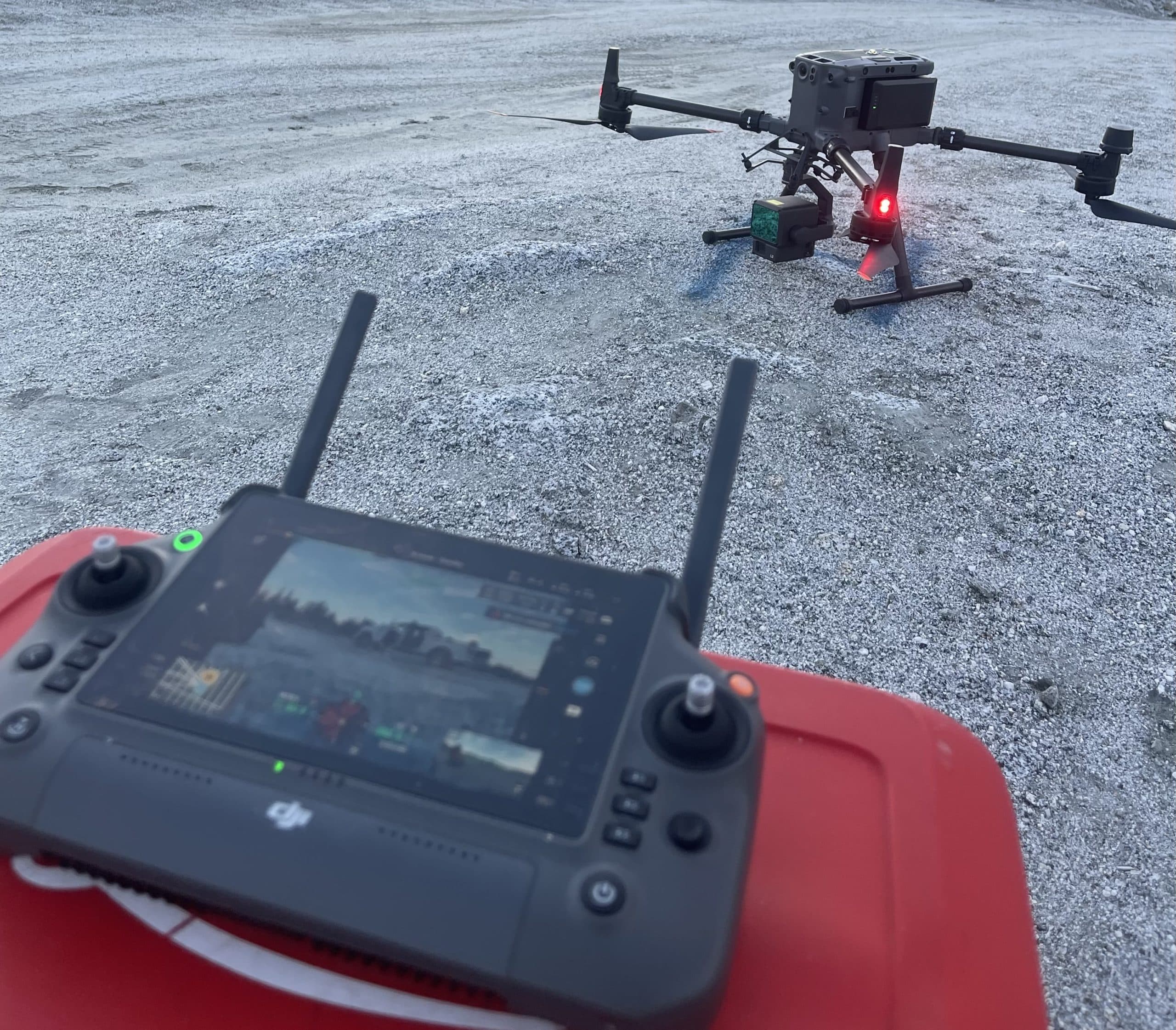
Drone LiDAR
High-density point clouds and terrain models for complex projects.
Learn More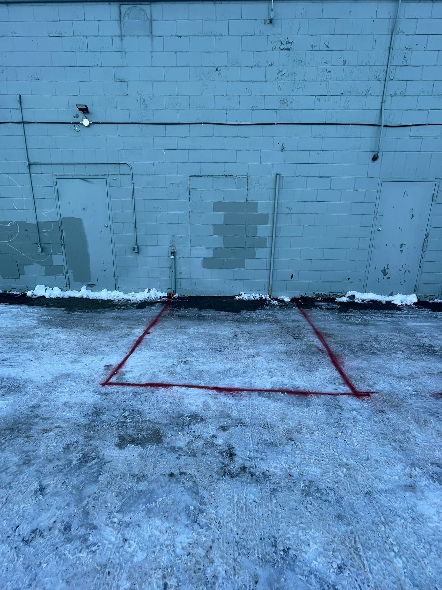
Sewer Camera & Sonde Locating
Pinpoint sanitary lines and underground infrastructure.
Learn More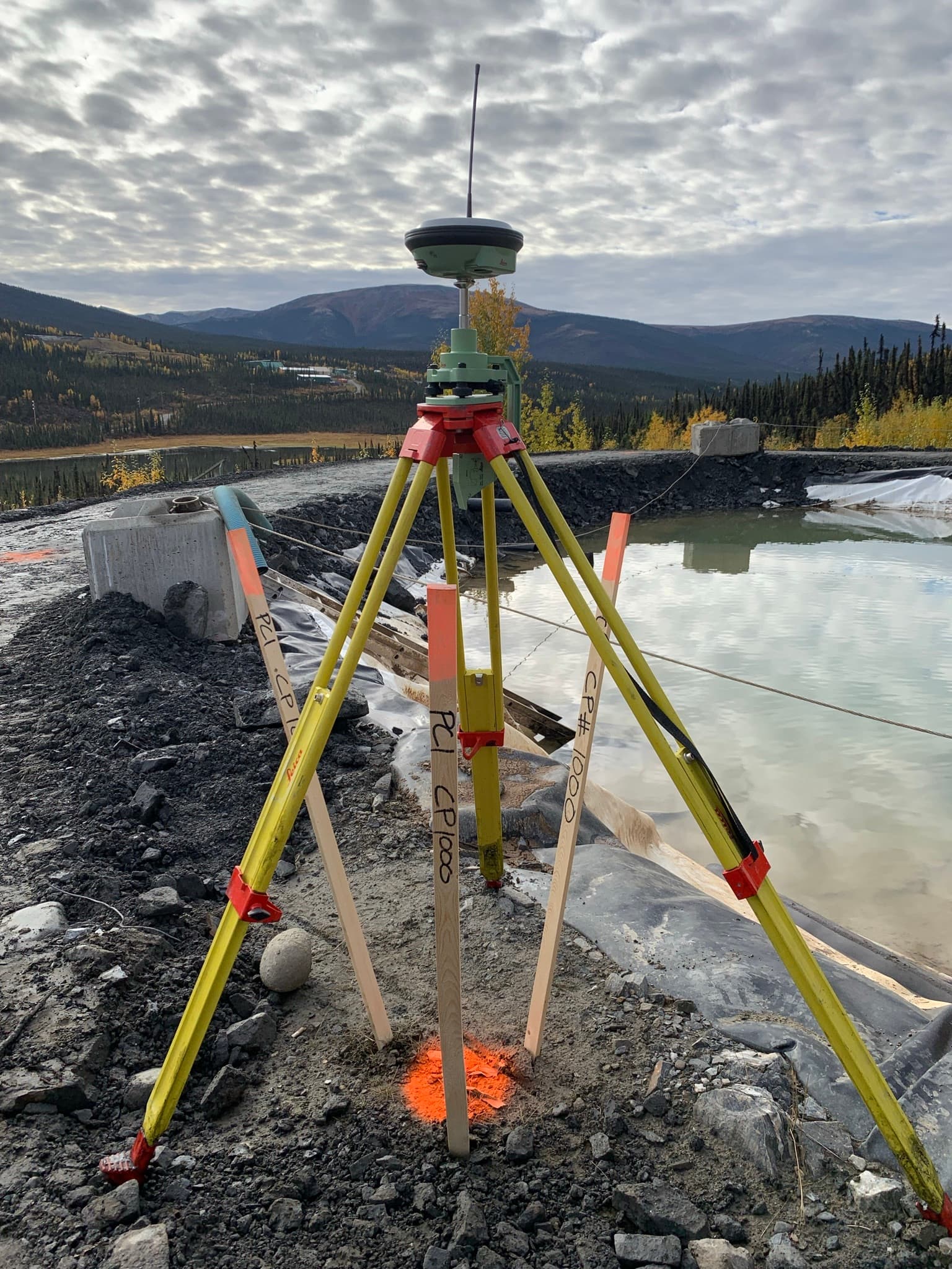
Volumes & Earthworks
Cut/fill analysis, stockpile volumes and surface/terrain modeling.
Learn More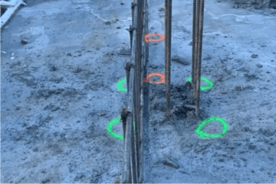
Construction Layout
Building, civil, road, and underground layout and staking.
Learn MoreServing
BC, AB & YT
Cities, Communities & Remote Sites
0 Days
A Week
6 a.m. – 7 p.m.
Fully
Certified & Insured
Ground Disturbance • WCB
Advanced Equipment
Top Technology
Better Data. Better Decisions.
From The Field
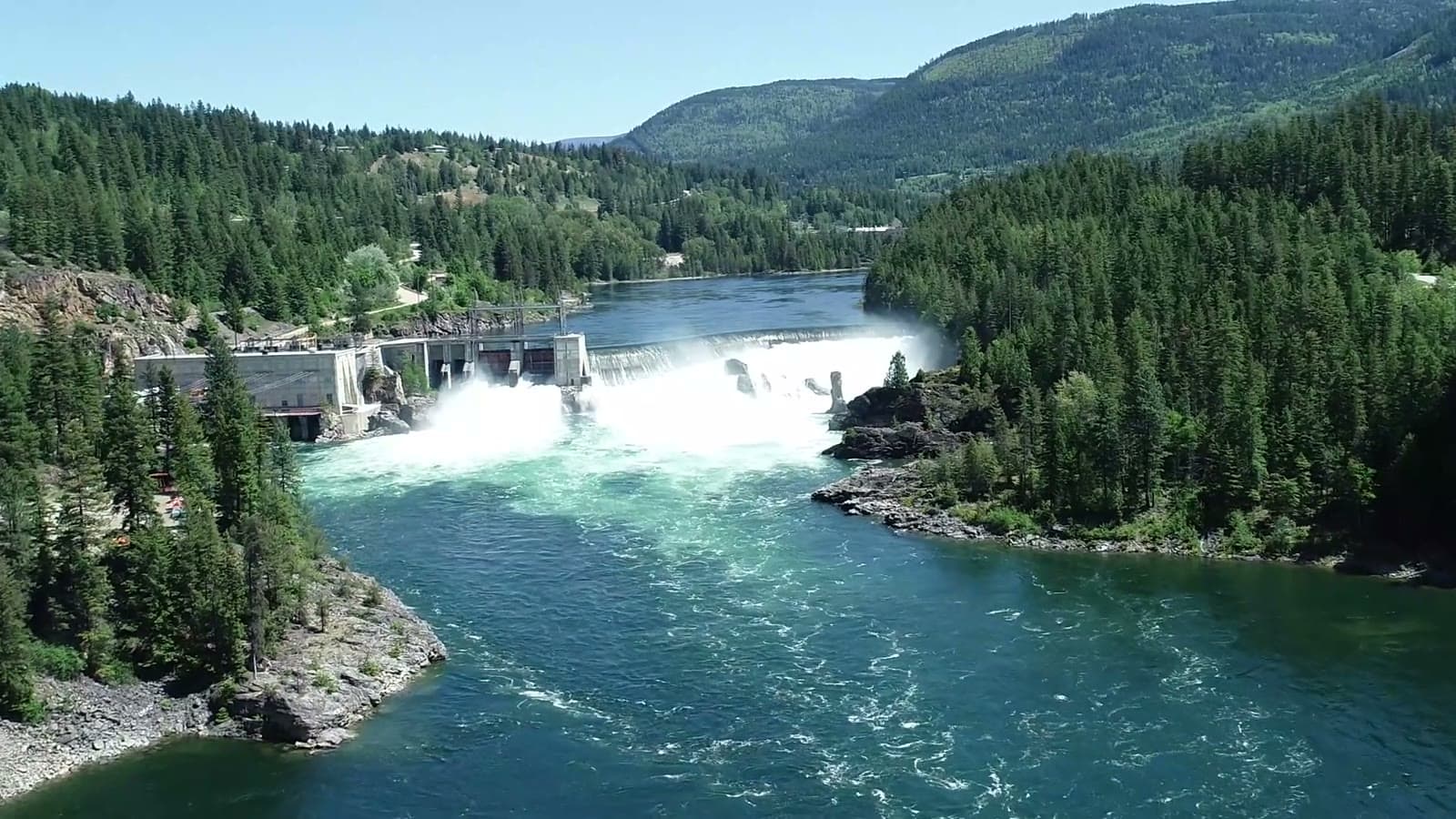
Precision work in demanding places
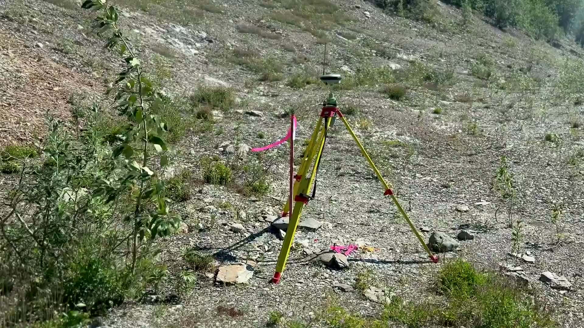
Dams, rivers, remote crossings and northern terrain — the projects that shape Western Canada are the ones we survey, locate and map every day.
See Our Projects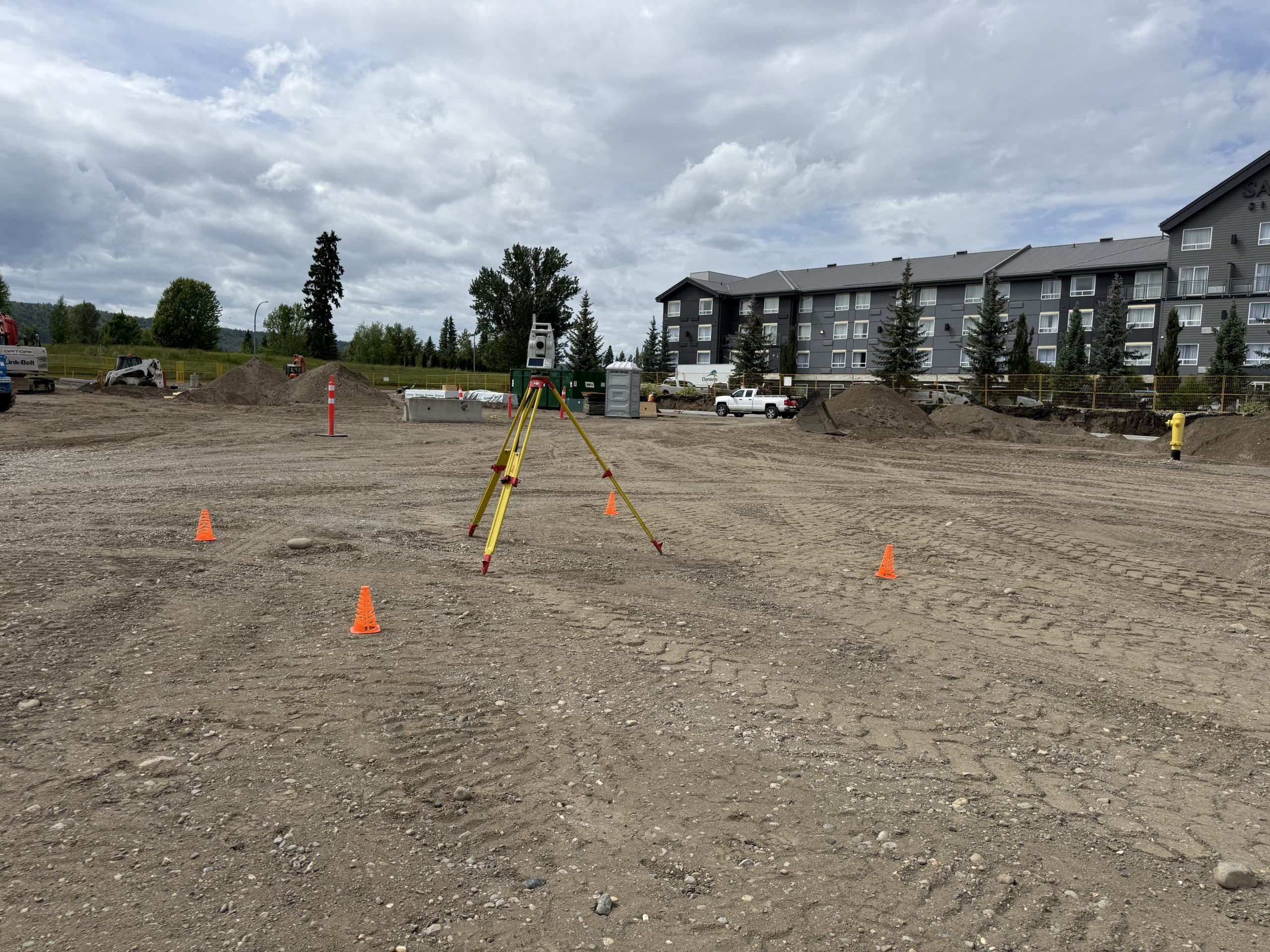
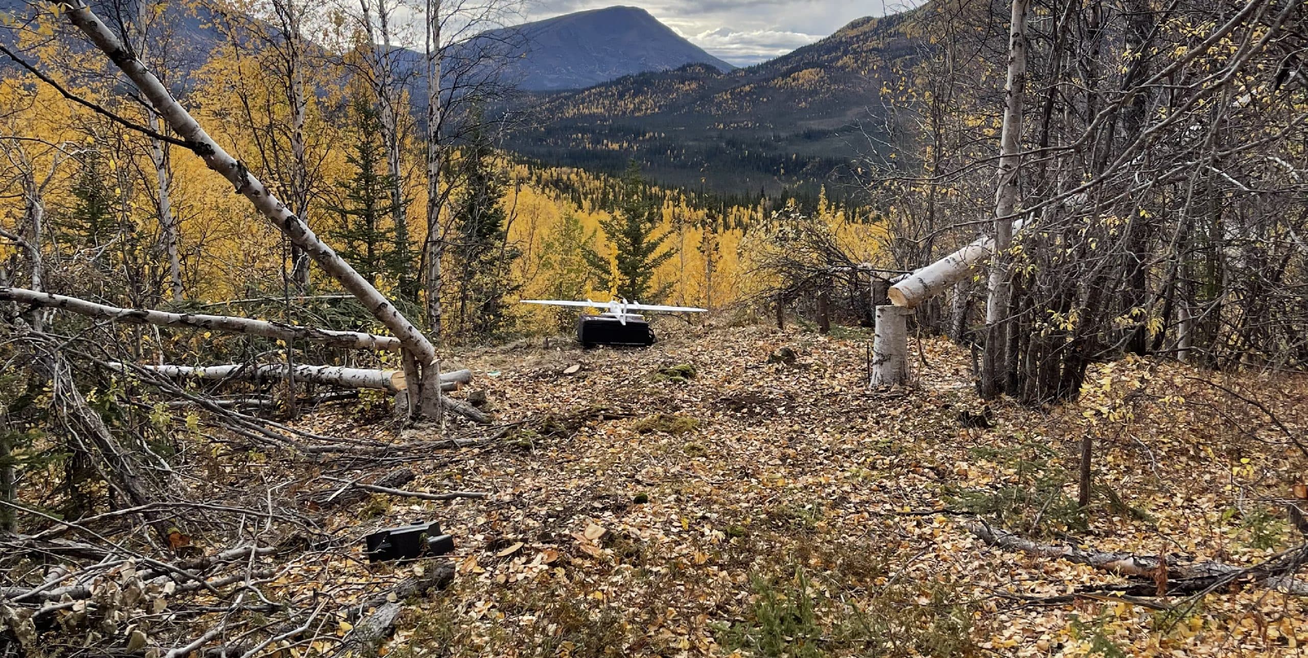
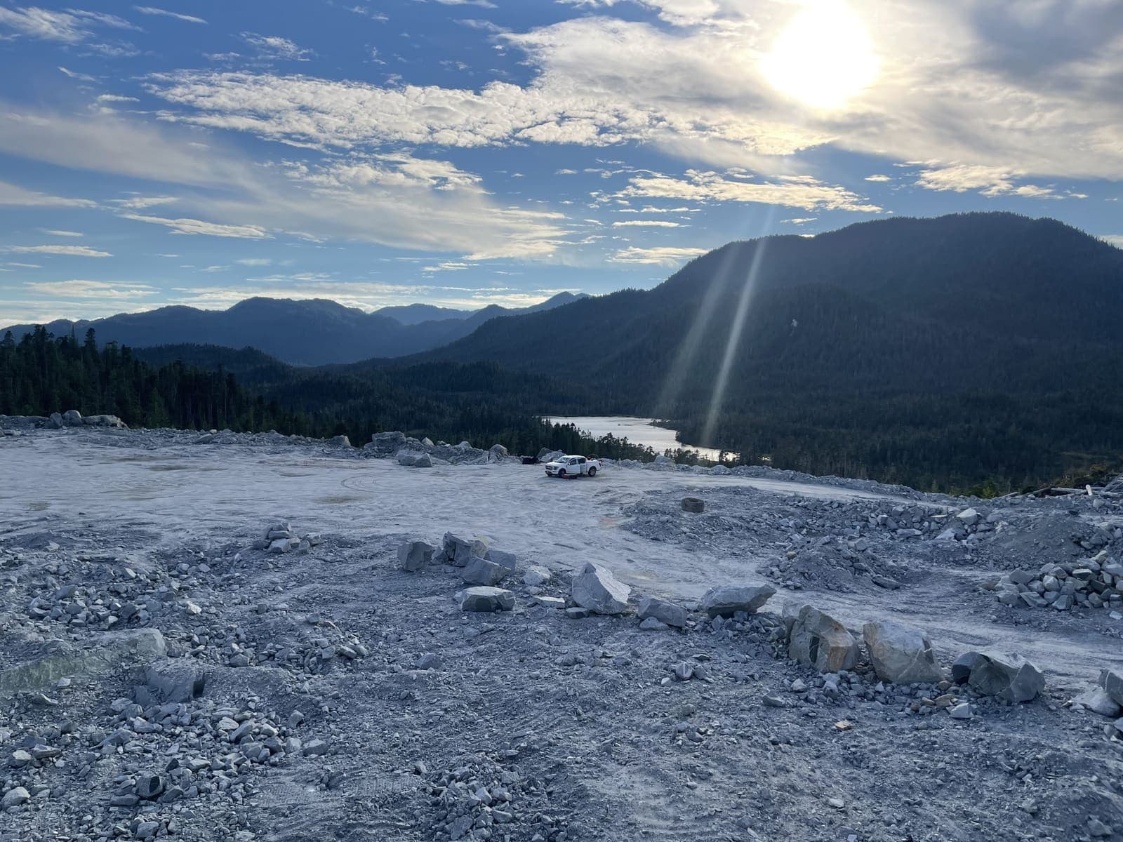
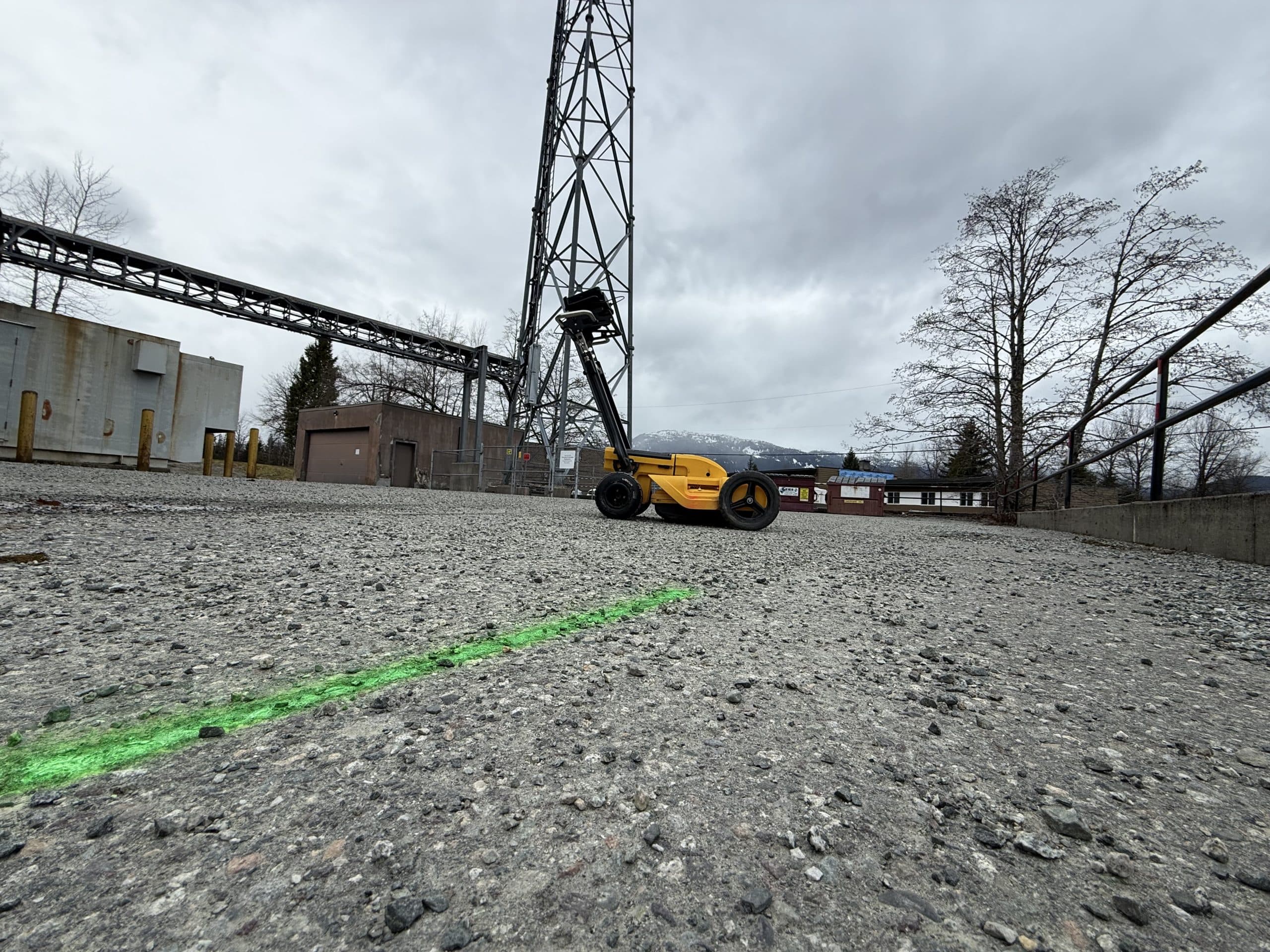
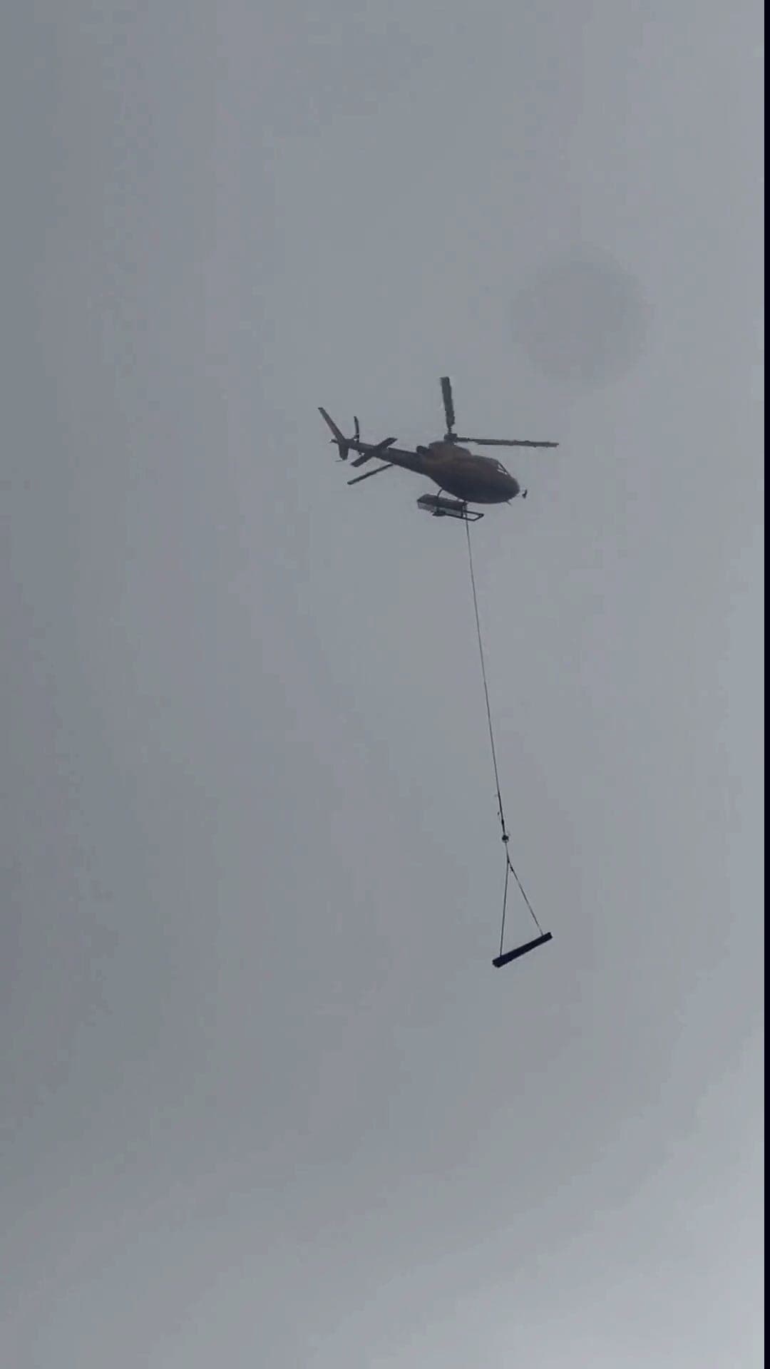
Wherever The Ground Needs Answers
Where roads end, we fly in
Glaciers, alpine ridges, fly-in exploration camps — helicopter and remote access are routine. The same crews work downtown lots and northern moraines alike.
Every Service We Offer
First Nations-Owned. Future Focused.
Proud to Build
Stronger Together.
We partner with First Nations, contractors, engineers and communities to deliver accurate data and lasting value across Western Canada.
Partnerships
Meaningful Indigenous participation through real work and real value.
Community
Supporting local employment and community benefit.
Relationships
Building long-term partnerships based on trust and respect.
From the Field
Updates and Information.

October 8, 2026
Open Pit Volumes from Drone LiDAR: Designing a Pit on a Real Surface and Counting Every Cubic Metre
How open pit, cut and fill and stockpile volumes are calculated from drone LiDAR: a benched pit with a spiral ramp designed onto a real northern surface, with the cut volume broken out by bench. Mining surveying from Prince George, Edmonton, Vancouver and Whitehorse.
Read Article
October 8, 2026
Drone Surveying in BC and Alberta: Photogrammetry, LiDAR, and Which One Your Project Needs
Drone surveying in BC and Alberta explained: when a photogrammetry flight is right, when drone LiDAR is the only way to see the ground, and how PCI chooses for each site. Real point clouds from a northern BC flight. Crews in Edmonton, Prince George, Vancouver and Whitehorse.
Read Article
September 4, 2026
What a Drone LiDAR Survey Actually Delivers
What you get from a drone LiDAR survey: classified point cloud, bare-earth terrain model, contours, canopy height model, slope analysis and orthophoto, with the formats each deliverable arrives in and how accuracy is reported.
Read Article