
PCI Surveys Services
Services built around your project
Construction surveying, private utility locating, GPR and drone mapping — one provider covering what's above the ground, on it, and below it.
01
Construction Surveying
Layout, control, grades, as-builts and volumes — survey support that keeps construction accurate and moving.
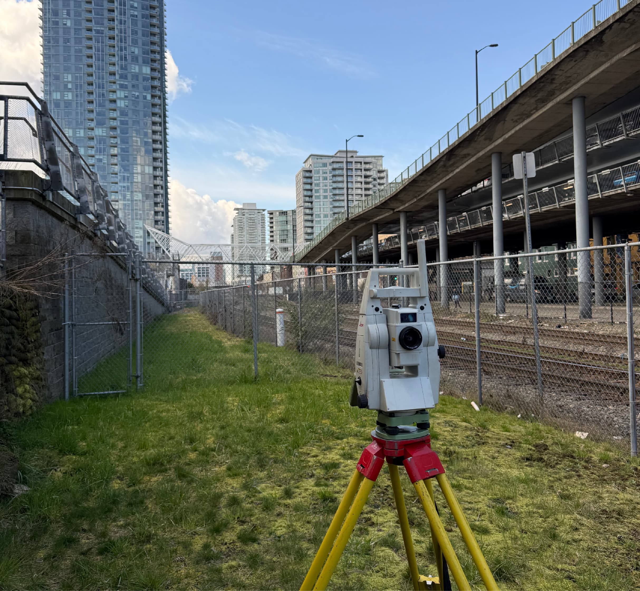
Construction Surveying
Layout, control, grades and as-builts for buildings, civil works and infrastructure — accurate field positioning that keeps construction moving.
Learn More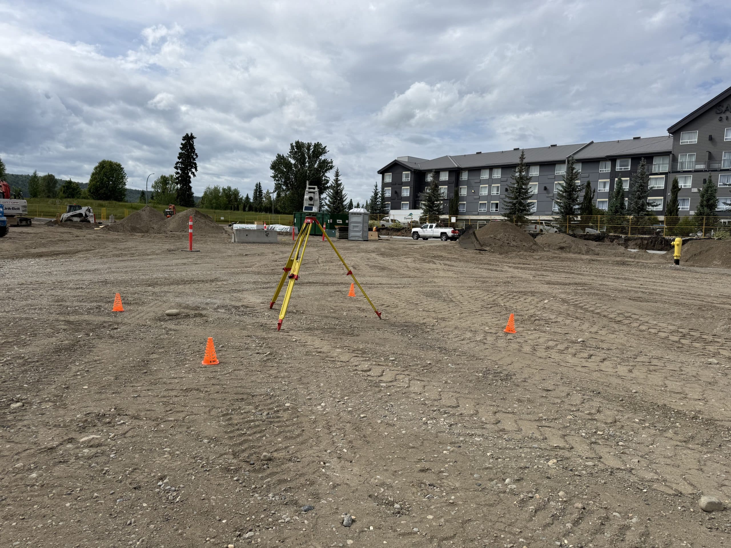
Construction Layout & Staking
Precise stakeout of buildings, gridlines, foundations, utilities and roadworks — direct from your IFC drawings to marks your crews can build from.
Learn More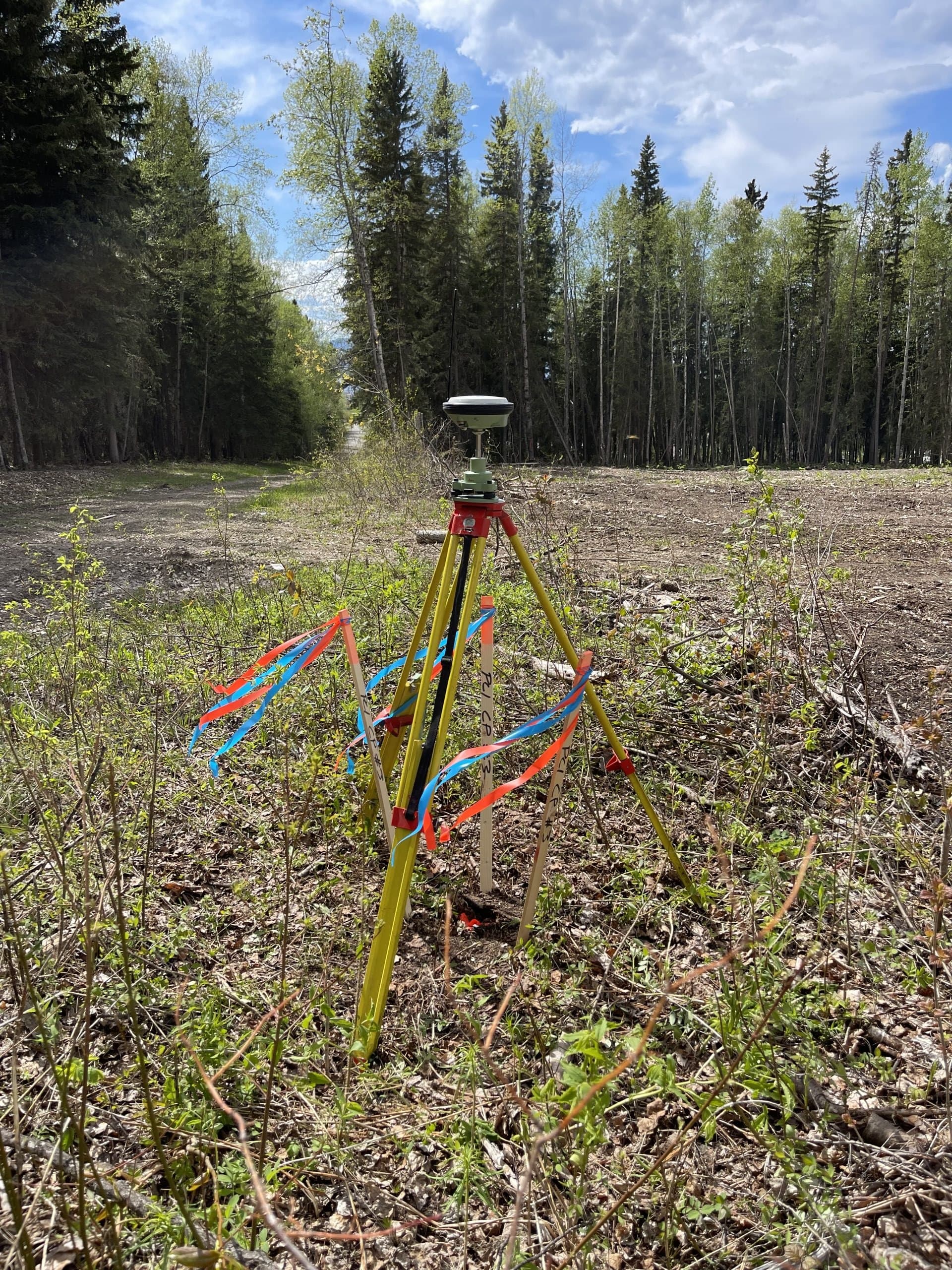
Topographic Surveys
Existing-condition and site surveys that give engineers and planners the accurate ground picture design starts from.
Learn More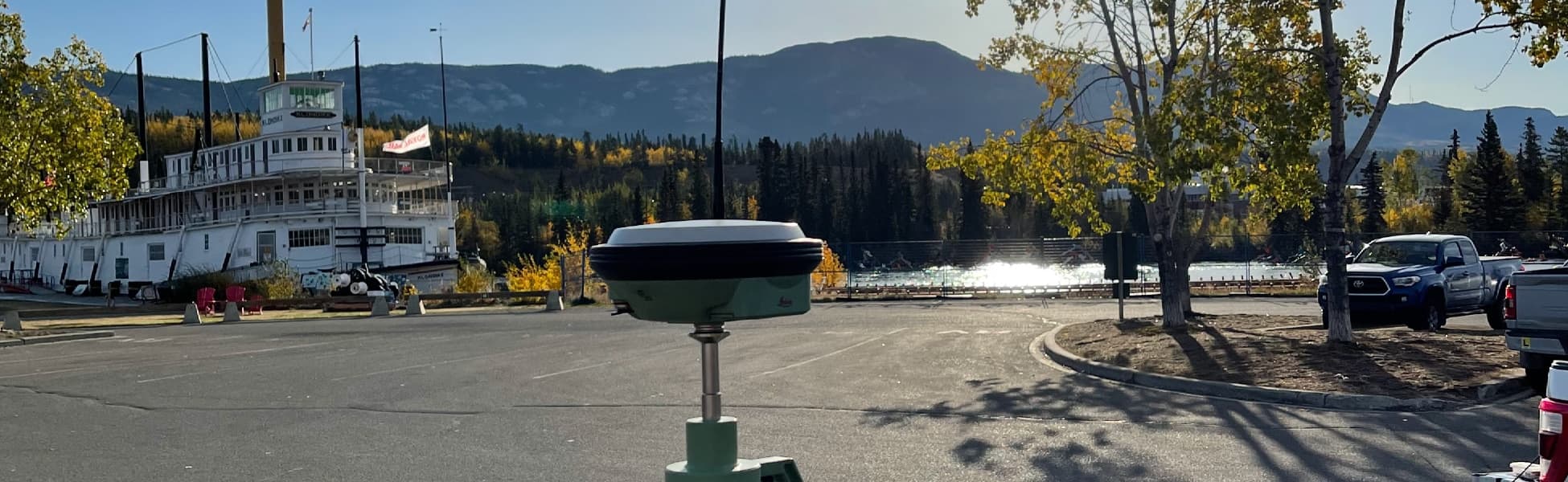
As-Built Surveys
Accurate record surveys of what was actually built — for engineering acceptance, municipal turnover, QA/QC and project closeout.
Learn More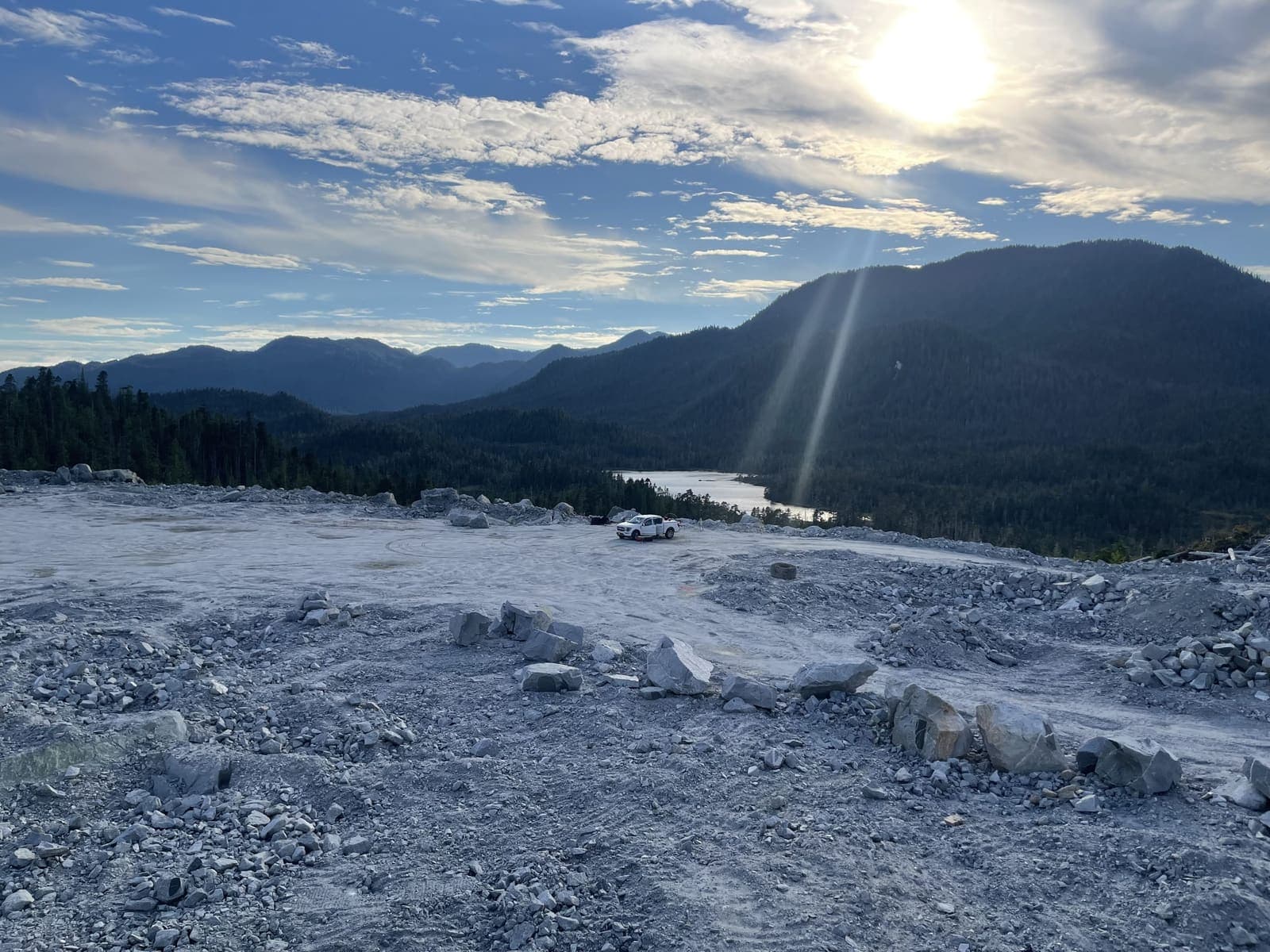
Earthworks & Volume Surveys
Stockpile, cut-and-fill and progress volumes measured properly — defensible numbers for payment, planning and inventory.
Learn More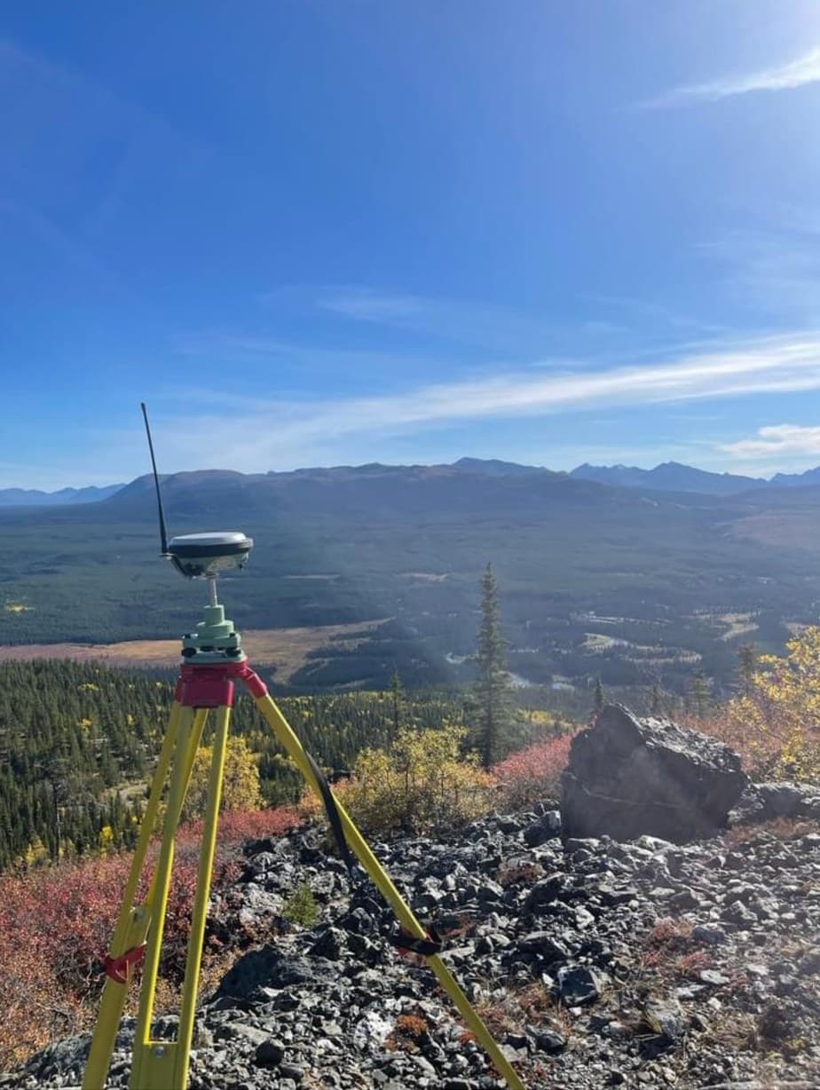
Mining Surveying
Survey support for mines and exploration projects — control, volumes, LiDAR topography, stakeouts and reclamation documentation in demanding terrain.
Learn More02
Utility Locating & GPR
Private utility locating, GPR and camera investigation so excavation and drilling proceed without surprises.
Private Utility Locating
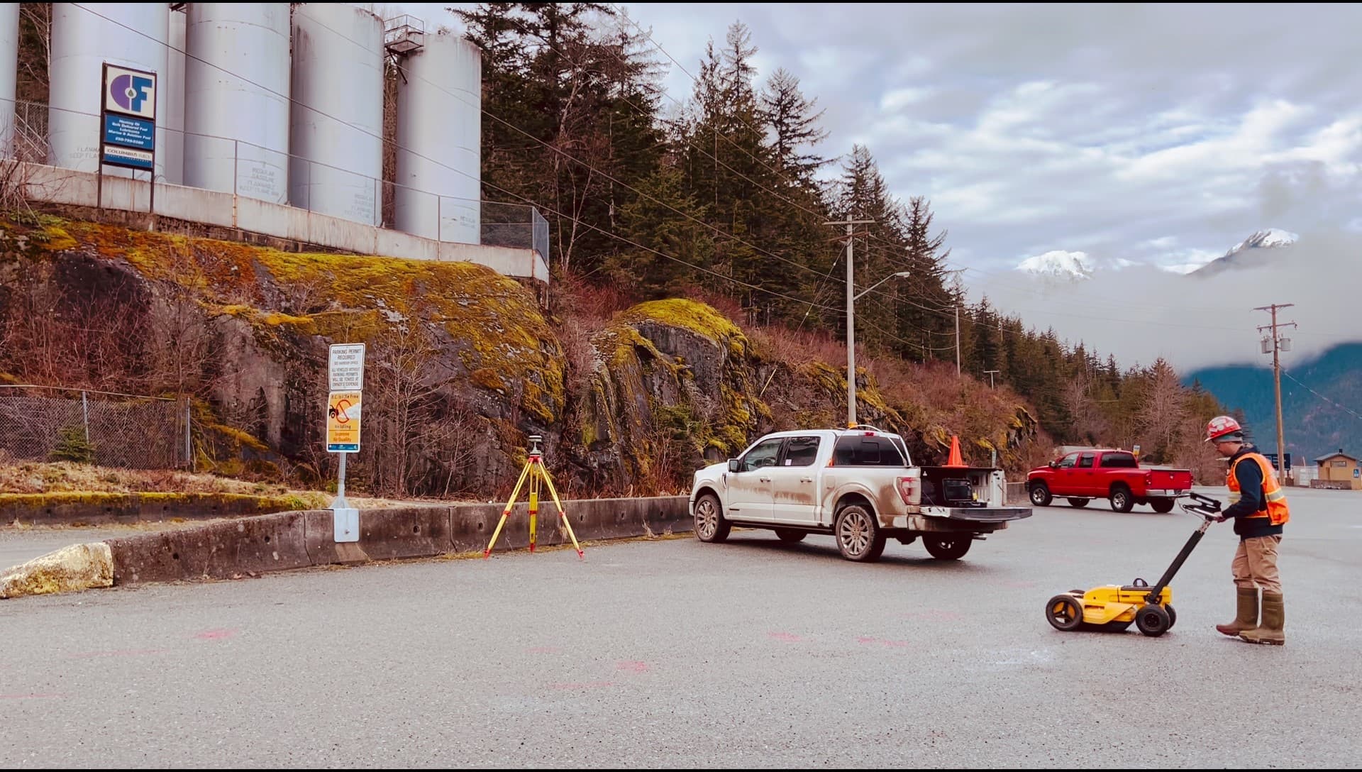
Electromagnetic and GPR locating of privately owned underground utilities — the lines one-call services don't mark — before you dig.
Learn More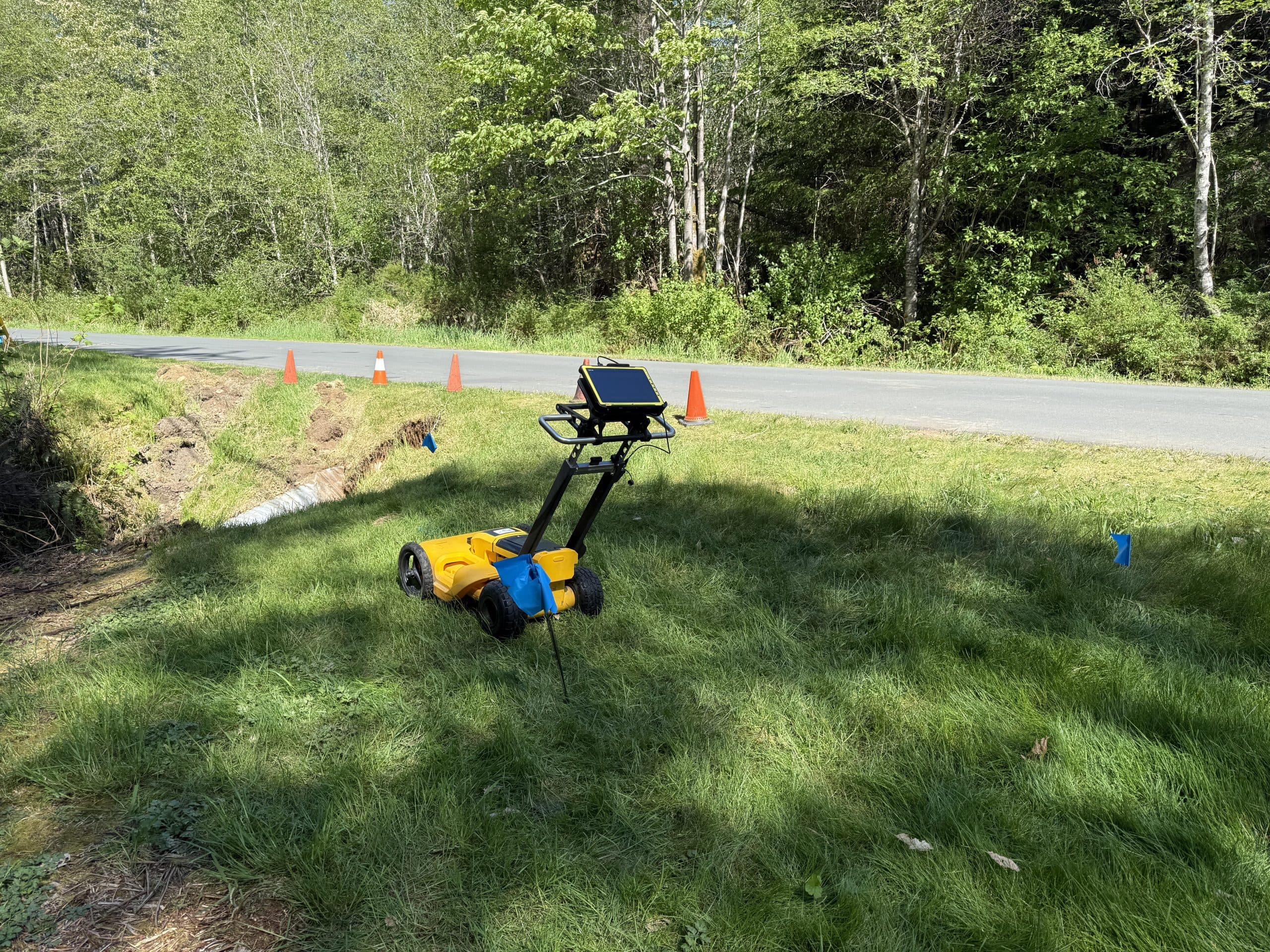
Ground-Penetrating Radar
Non-destructive subsurface scanning for utilities, tanks, structures and anomalies — seeing what electromagnetic locating alone can't.
Learn More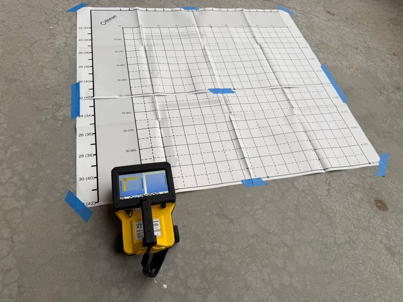
Concrete Scanning
GPR scanning of slabs, walls and decks before coring, cutting or drilling — find rebar, conduit and post-tension hazards first.
Learn More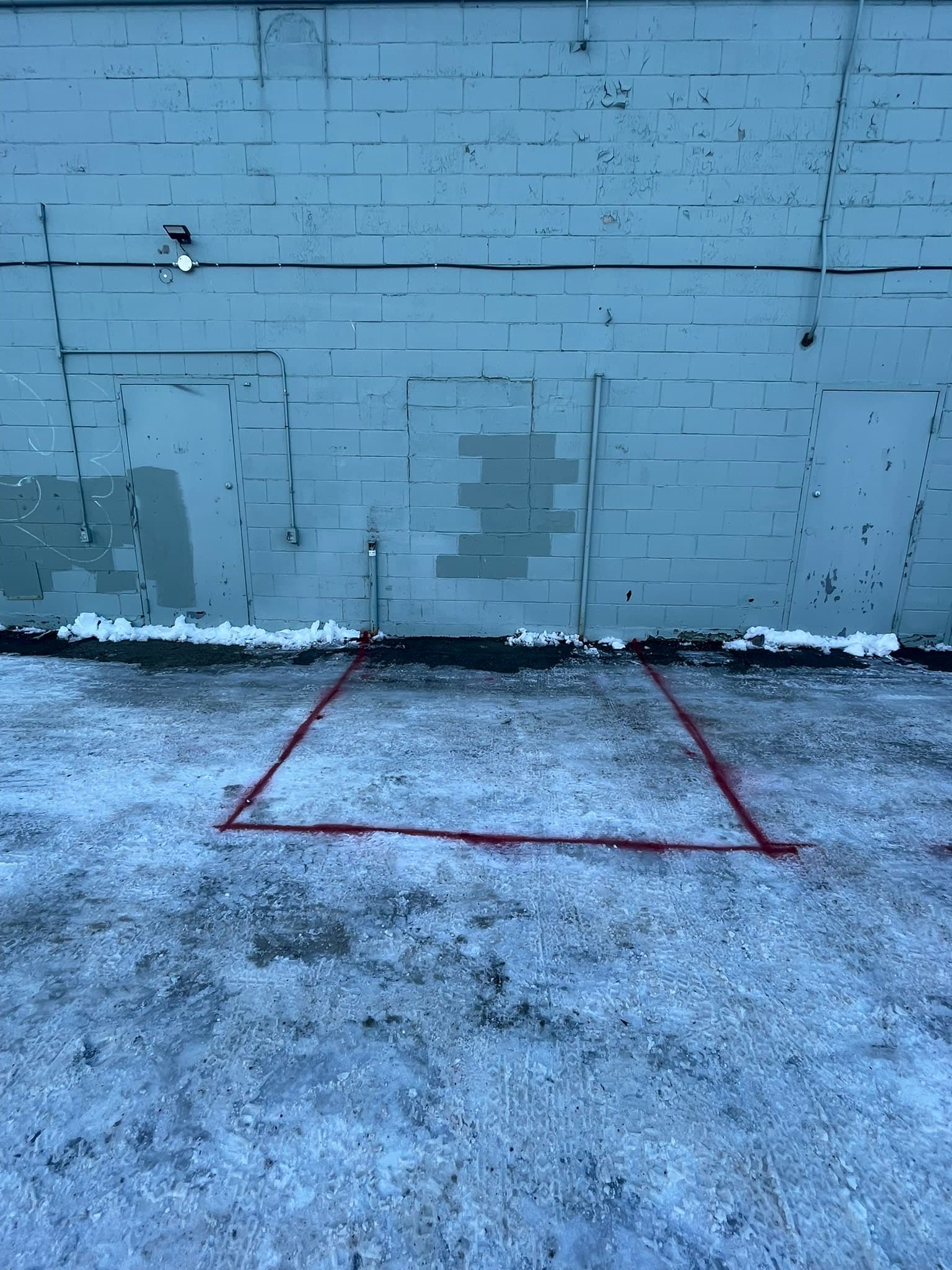
Sewer Camera & Sonde Locating
Camera inspection and sonde tracing of sewers, drains and ducts — locate non-conductive lines and see their condition from the inside.
Learn More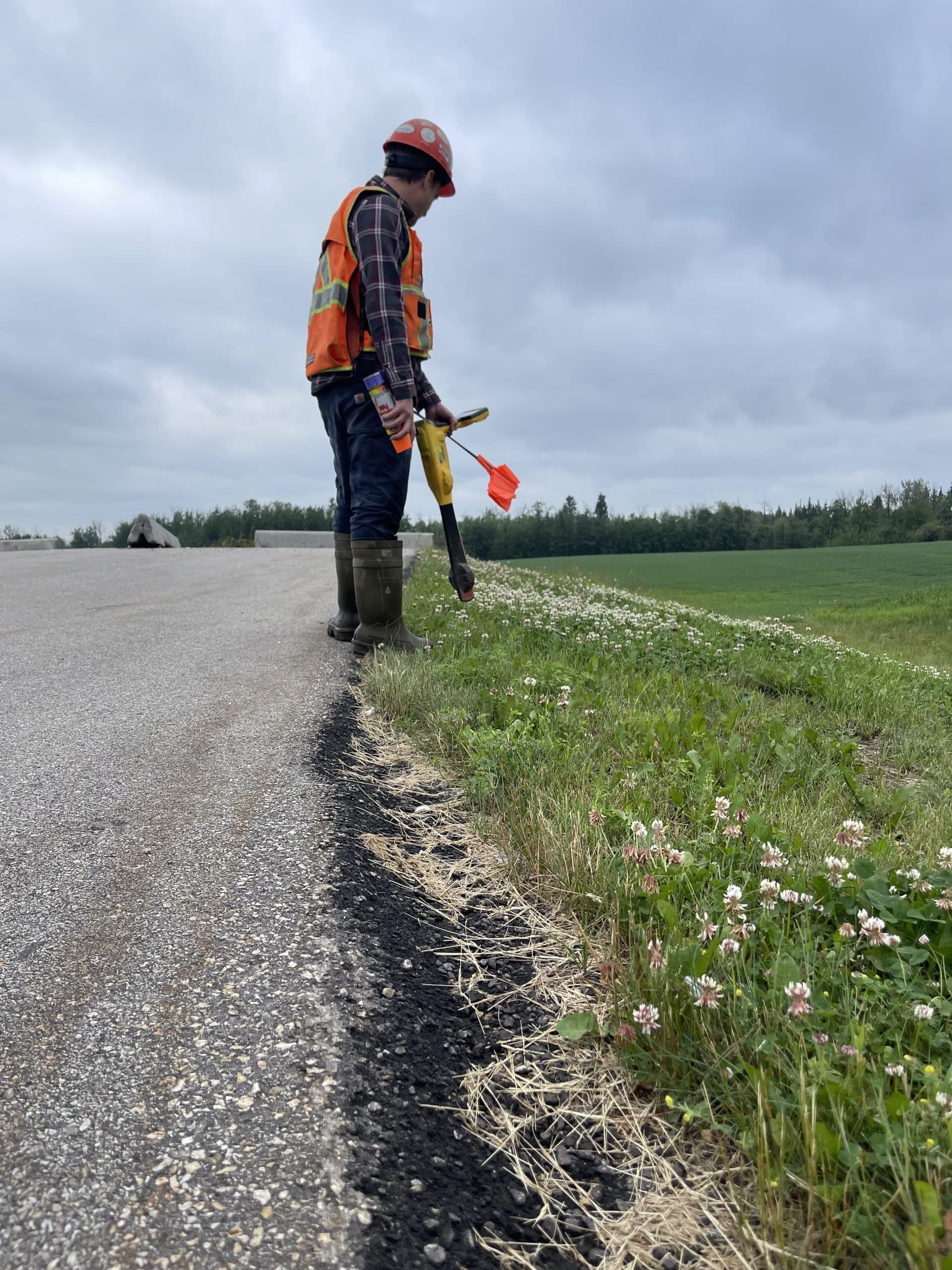
Ground Disturbance Support
Complete dig-safe packages: locates, documentation and on-site support that let excavation proceed with confidence.
Learn More03
Drone Mapping & LiDAR
Survey-grade aerial mapping, photogrammetry and LiDAR for sites, corridors and terrain of any size.
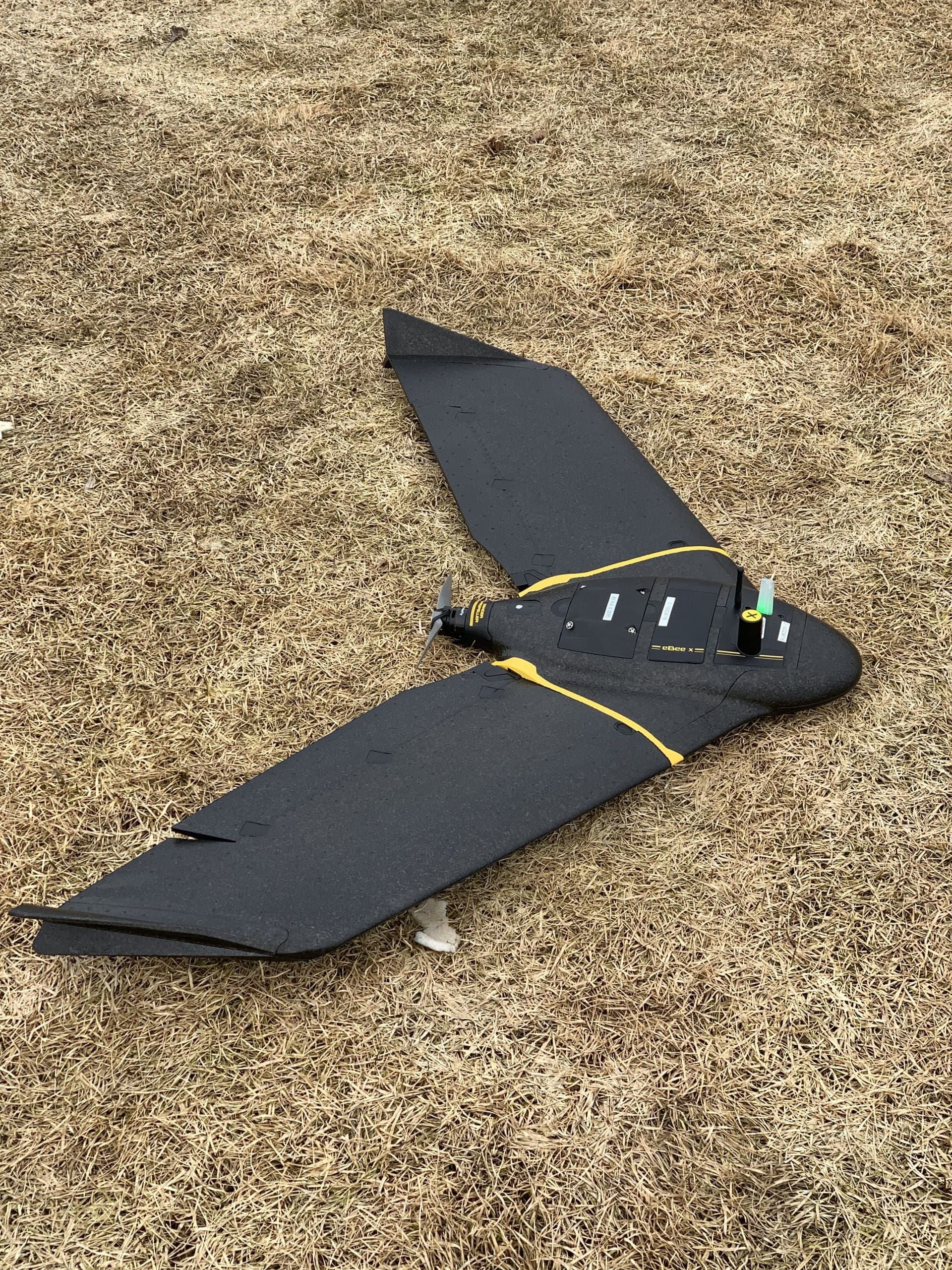
Drone Mapping & Photogrammetry
Survey-grade aerial mapping: orthophotos, surfaces, contours and volumes captured in a fraction of the time ground crews need.
Learn More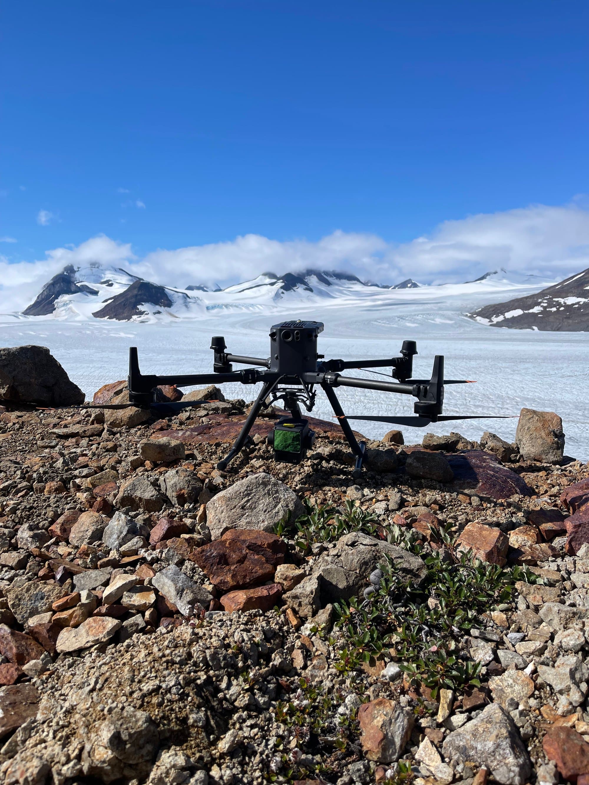
Drone LiDAR
Aerial LiDAR that maps the ground even under trees — bare-earth terrain models for forested, remote and complex sites.
Learn MoreReady to get started?
Describe your project and watch your price appear. Most jobs can be quoted, booked and paid online in minutes, any hour, any day.
Prefer to talk? 6 a.m. – 7 p.m., 7 days a week.
- Prince George(778) 764-1626
- Edmonton(587) 400-1260
- Vancouver(604) 800-8708
- Whitehorse(867) 322-3453