

Construction Surveying
Mining Surveying
Survey support for mines and exploration projects — control, volumes, LiDAR topography, stakeouts and reclamation documentation in demanding terrain.
Fly-In Ready
We go where the ore is
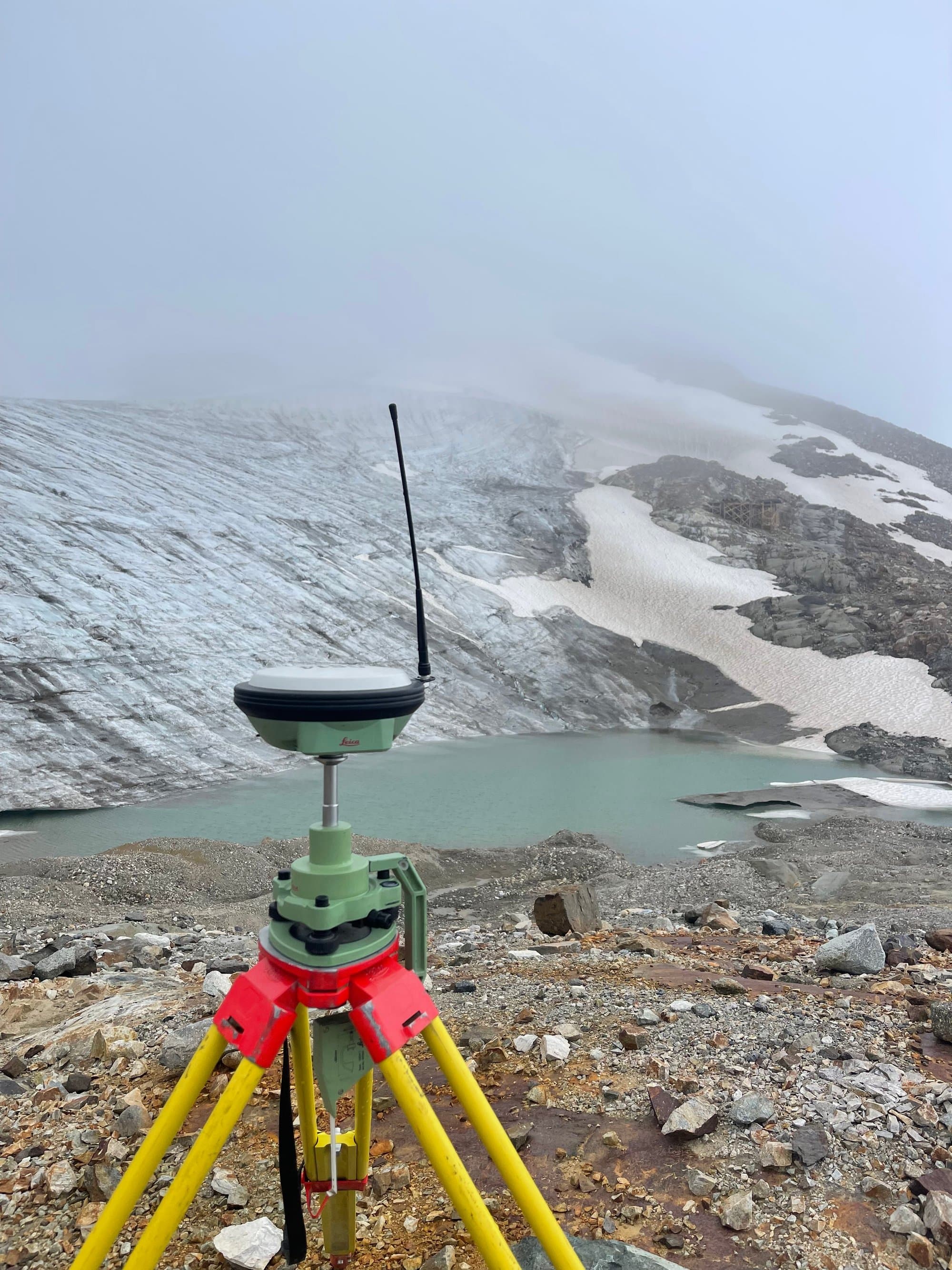
Helicopter access, glacier moraines, seasonal roads, camp rotations — remote doesn't slow us down. Crews and equipment are set up for fly-in exploration sites and northern operations across BC, Alberta and the Yukon.
Plan Your Program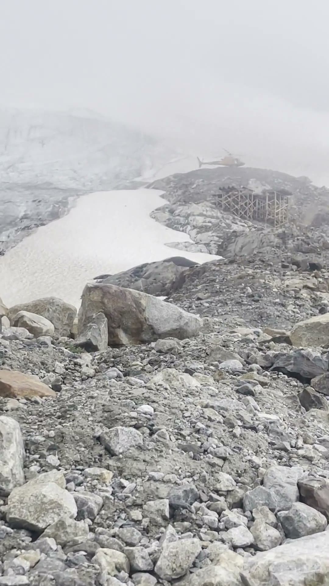
Mining projects need survey support that shows up ready for remote sites, tough terrain and production schedules. PCI Surveys supports mines, quarries and exploration programs across BC, Alberta and the Yukon with site control, drilling and blasting stakeouts, production volumes, LiDAR topography and reclamation surveys.
We work placer and hard-rock operations, aggregate producers and early-stage exploration alike — with equipment and crews suited to fly-in sites, seasonal roads and northern conditions.
What PCI Performs
- Mine site control networks
- Drill pattern and blasting stakeouts
- Ore limit and pit surveys
- Production and inventory volumes
- LiDAR and drone topography
- Exploration grid and DGPS surveys
- Road, pad and infrastructure layout
- Reclamation and closure documentation surveys
When You Need It
- Establishing or densifying site control
- Monthly production and inventory reporting
- Exploration program support
- Reclamation progress documentation
Who Uses It
- Mining companies and mine contractors
- Exploration and drilling companies
- Aggregate and placer operations
- Environmental and reclamation consultants
Deliverables
- Control networks and coordinate systems documentation
- Volume and production reports
- Terrain models, contours and pit surfaces
- Stakeout reports
- Reclamation survey records
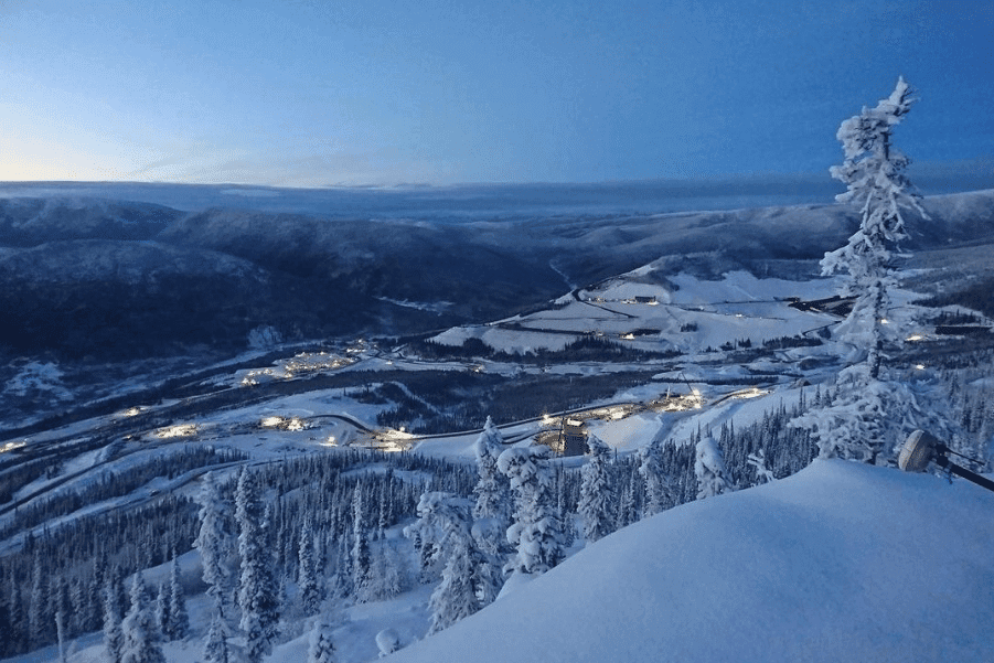
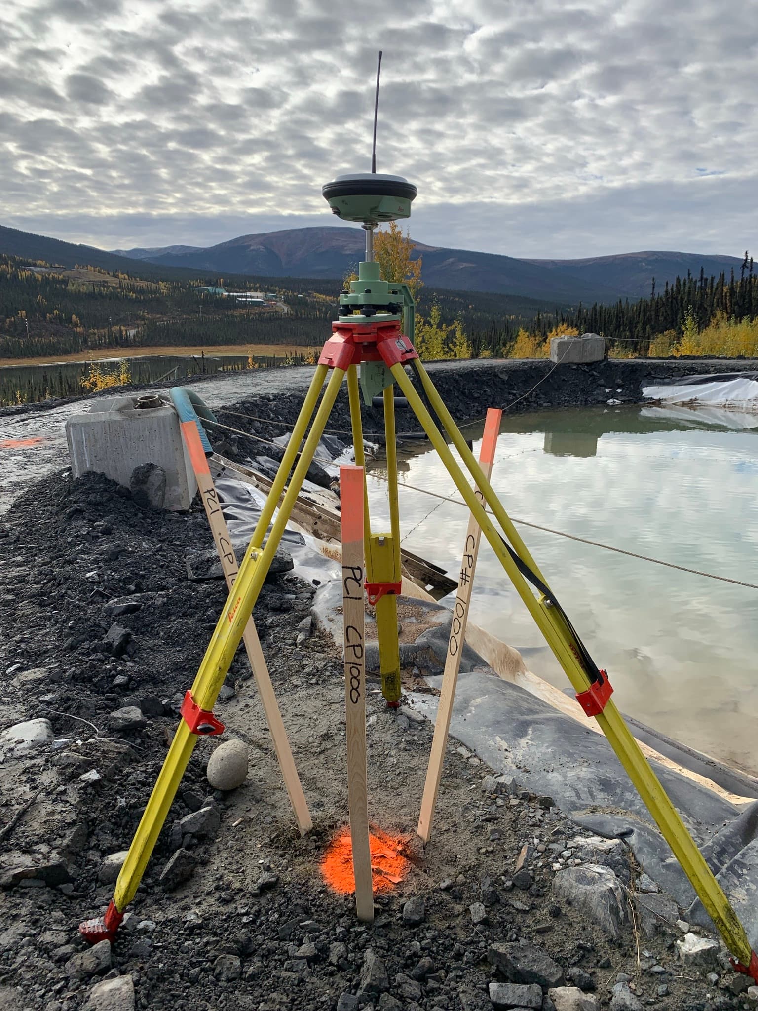
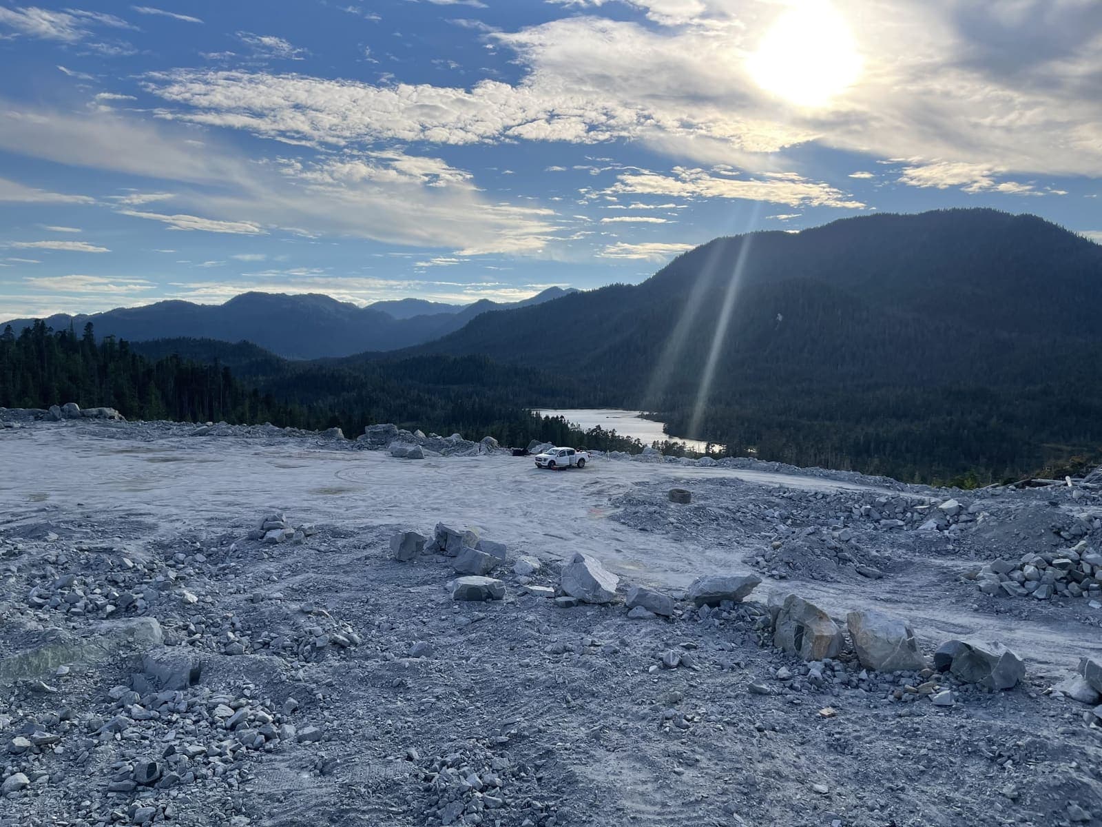
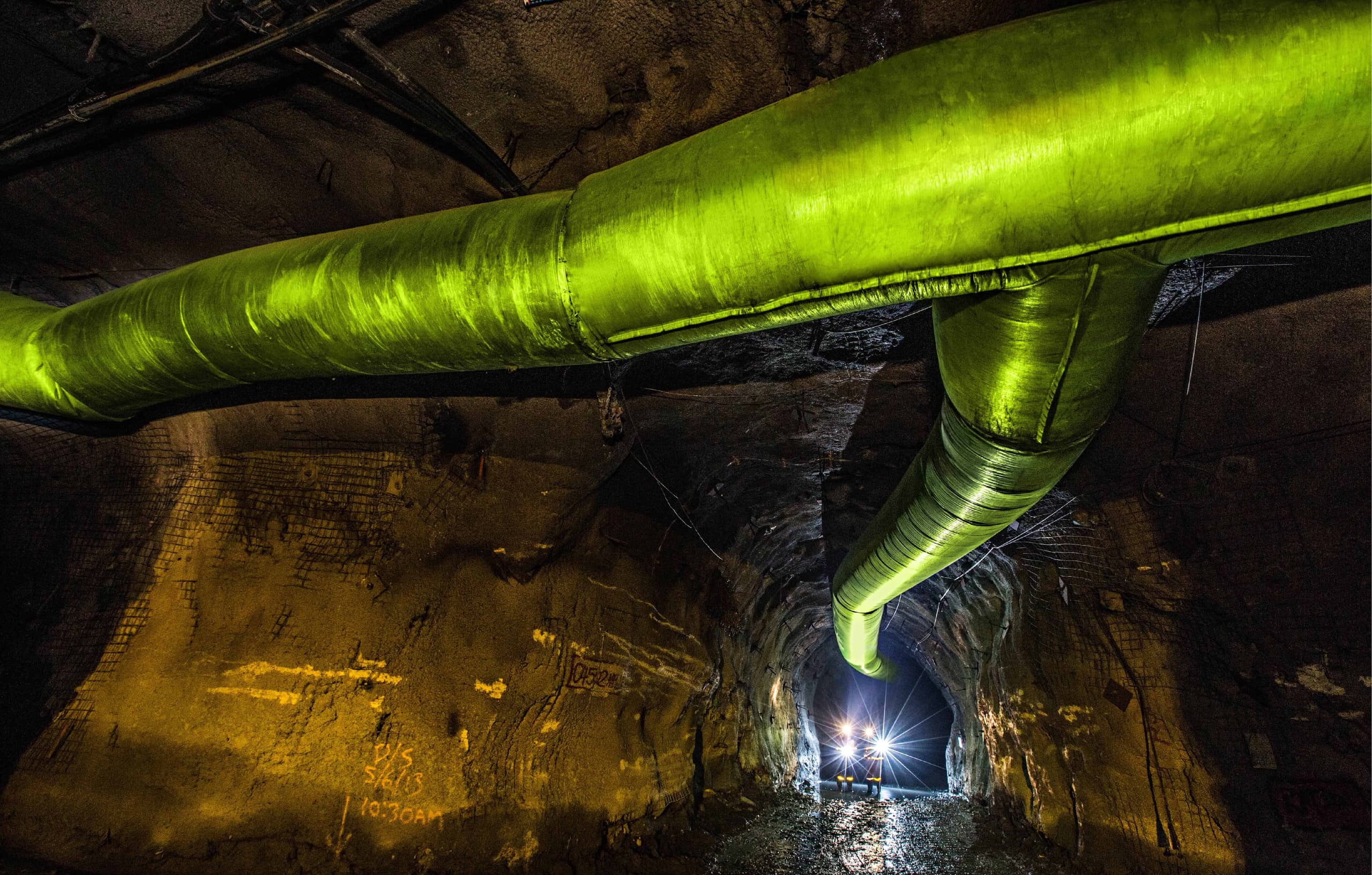
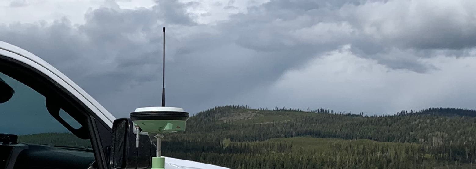
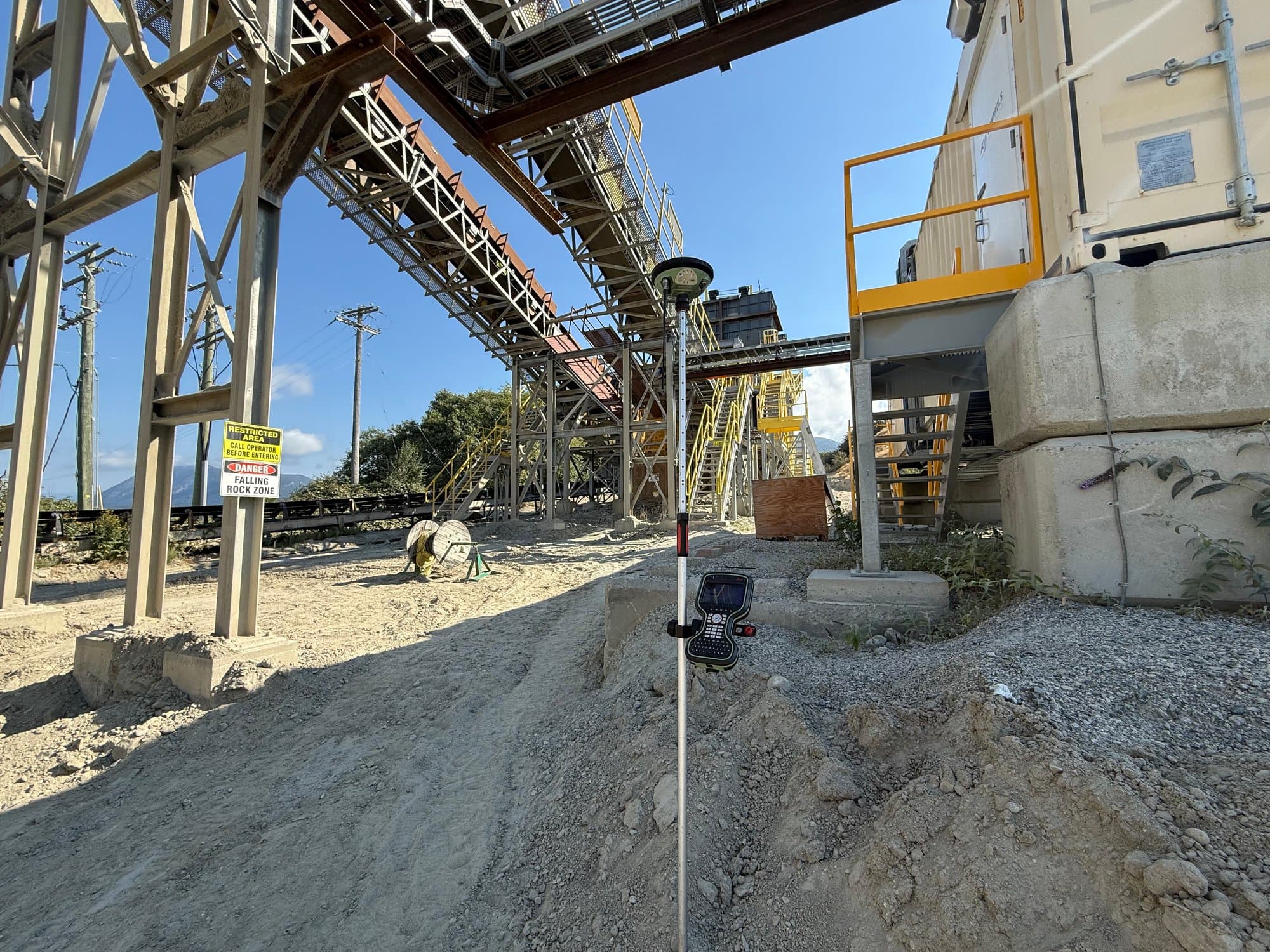
PCI In The Field
Real crews. Real sites.
Common Questions
Mining Surveying FAQs
What is the role of surveying in mining?
How does mining survey differ from other types of surveying?
What safety considerations are involved in mining survey?
Can mining survey help in environmental protection?
What advancements in technology are impacting mining survey?
Related Services
Often Booked Together
Earthworks & Volume Surveys
Stockpile, cut-and-fill and progress volumes measured properly — defensible numbers for payment, planning and inventory.
Learn More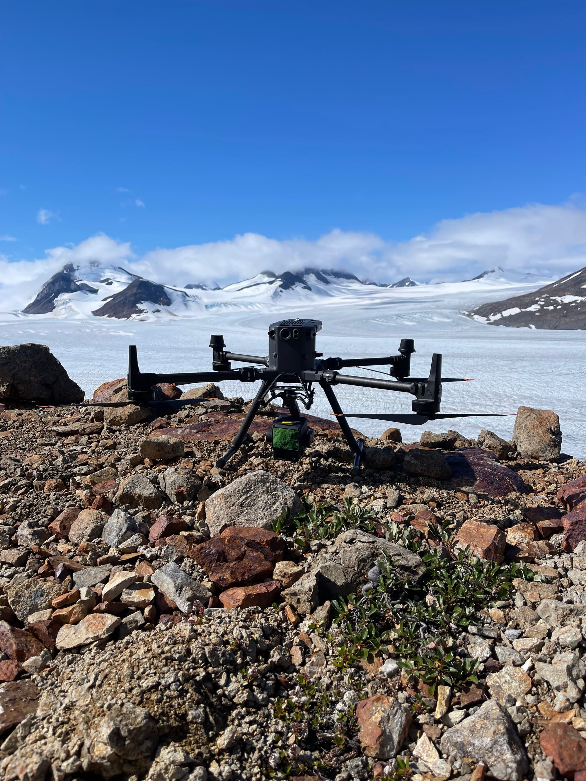
Drone LiDAR
Aerial LiDAR that maps the ground even under trees — bare-earth terrain models for forested, remote and complex sites.
Learn More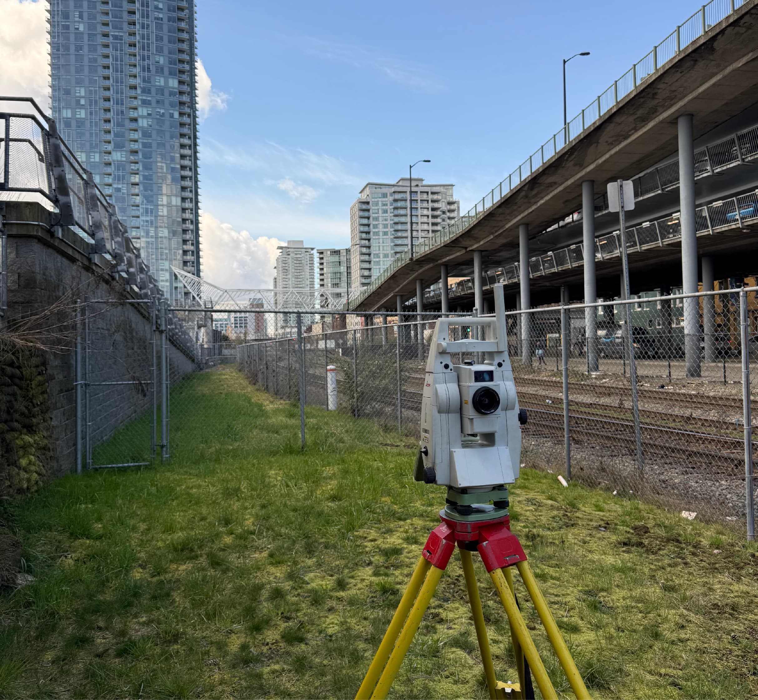
Construction Surveying
Layout, control, grades and as-builts for buildings, civil works and infrastructure — accurate field positioning that keeps construction moving.
Learn MoreNeed mining surveying?
Send drawings, site plans or a short description. We'll review and respond with a clear scope and quote.
Prefer to talk? 6 a.m. – 7 p.m., 7 days a week.
- Prince George(778) 764-1626
- Edmonton(587) 400-1260
- Vancouver(604) 800-8708
- Whitehorse(867) 322-3453