
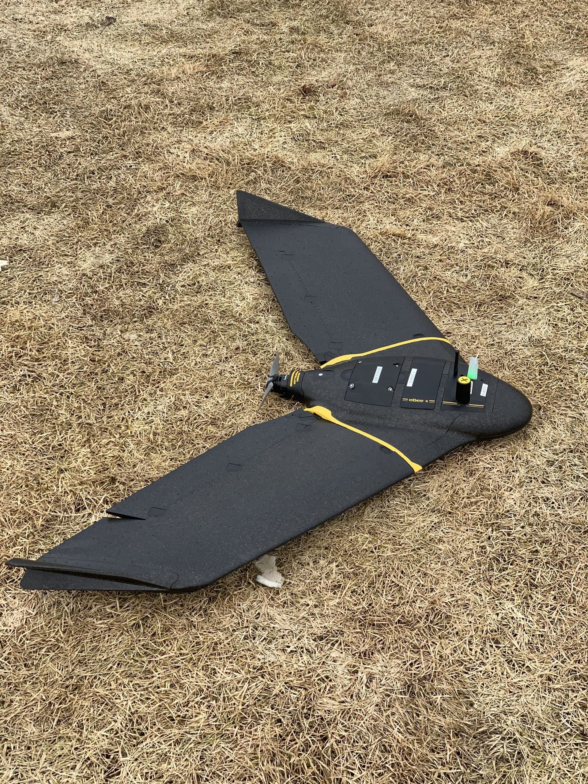
Equipment & Technology
Professional equipment. Practical deliverables.
Equipment matters because deliverables matter. PCI invests in Leica, DJI and Vivax-Metrotech systems so the data behind your project decisions holds up.
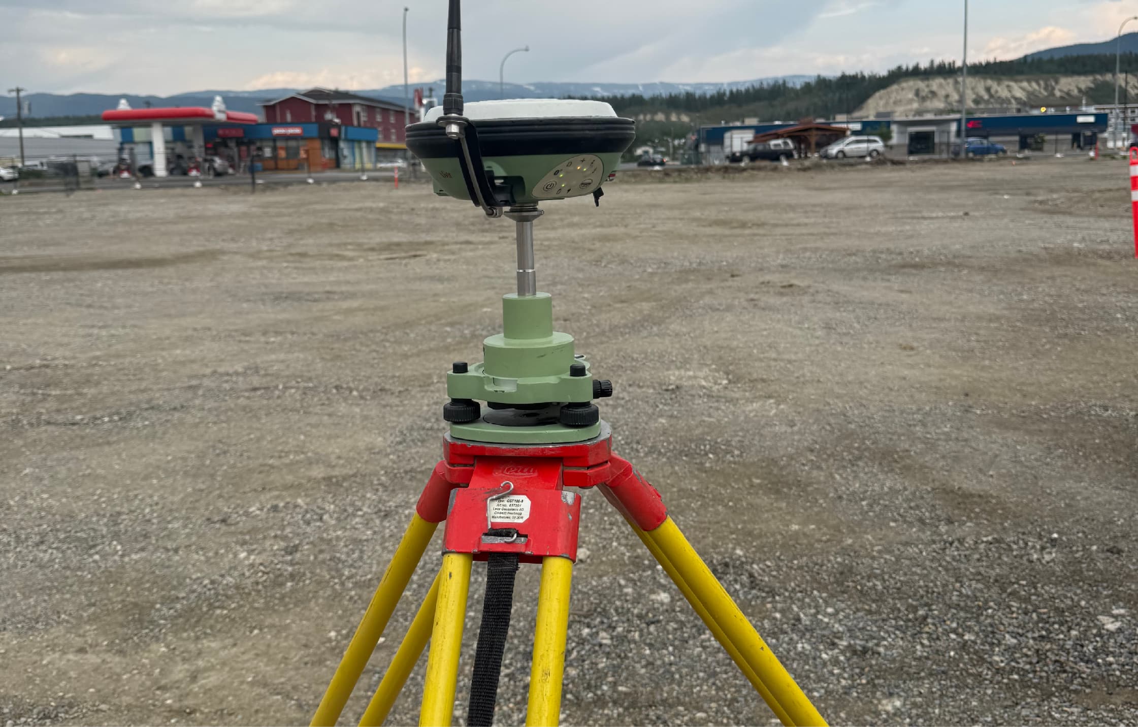
Survey Instruments
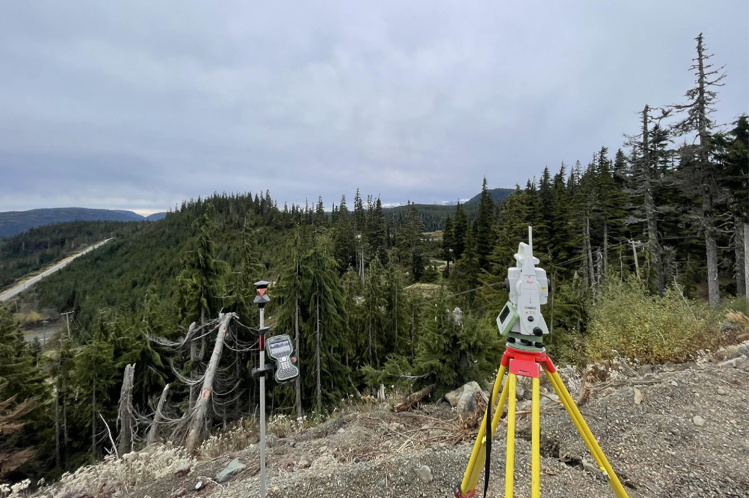
High-accuracy positioning for layout, control and as-builts — robotic instruments that keep one-person crews productive on fast-moving sites.
- Leica robotic total stations
- Leica MS60 MultiStation
- Leica GNSS / RTK GPS receivers
- Leica field controllers
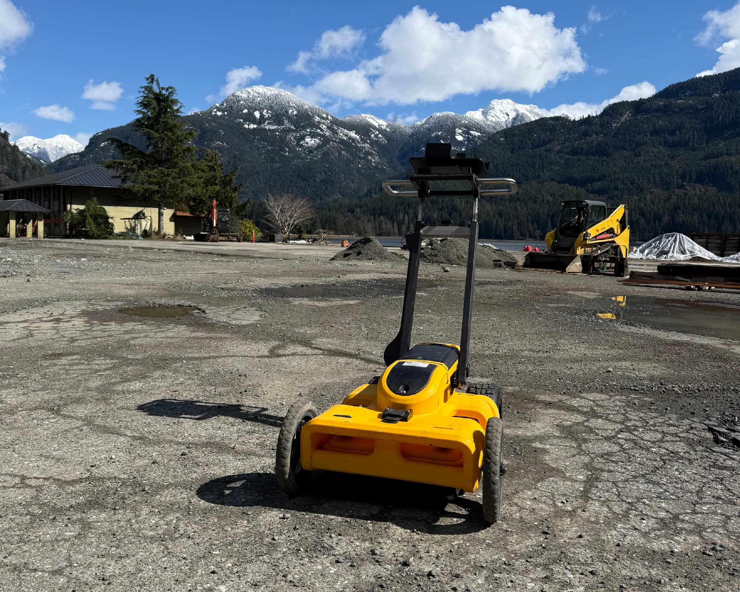
Locating & Subsurface
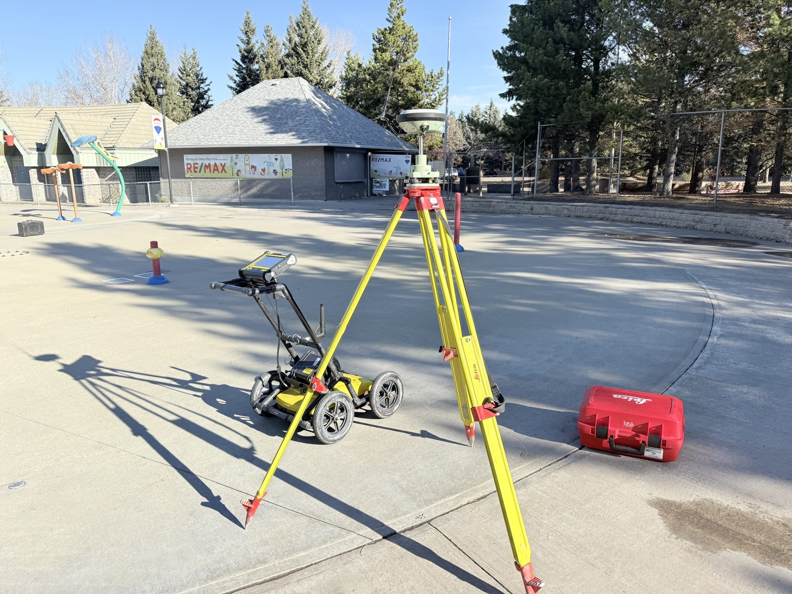
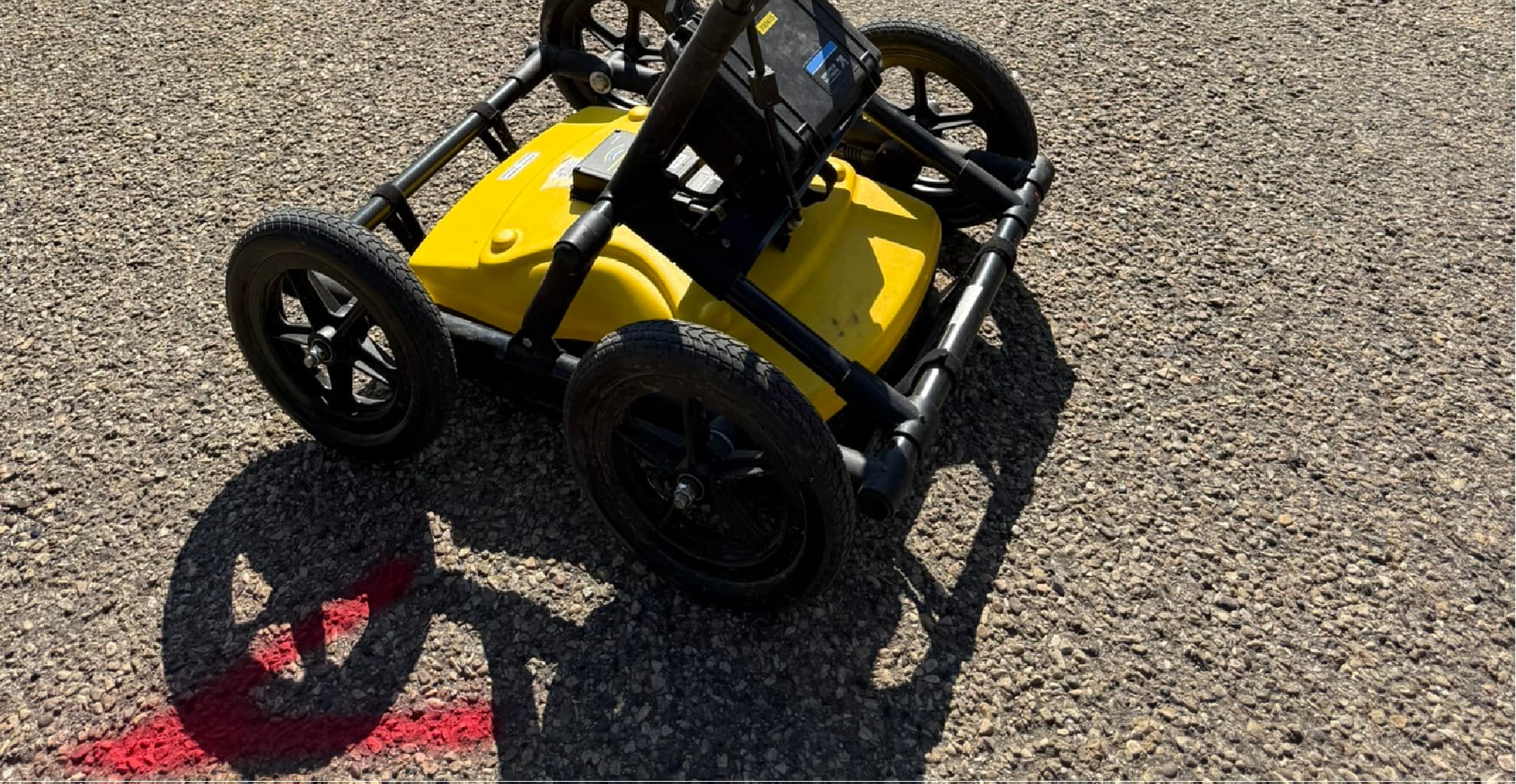
Electromagnetic locating plus GPR plus camera tracing — layered methods that find conductive, non-conductive and unknown utilities.
- Leica DSX ground-penetrating radar
- Vivax-Metrotech vLoc3 utility locators
- Sewer cameras and sondes
- Signal transmitters and clamps
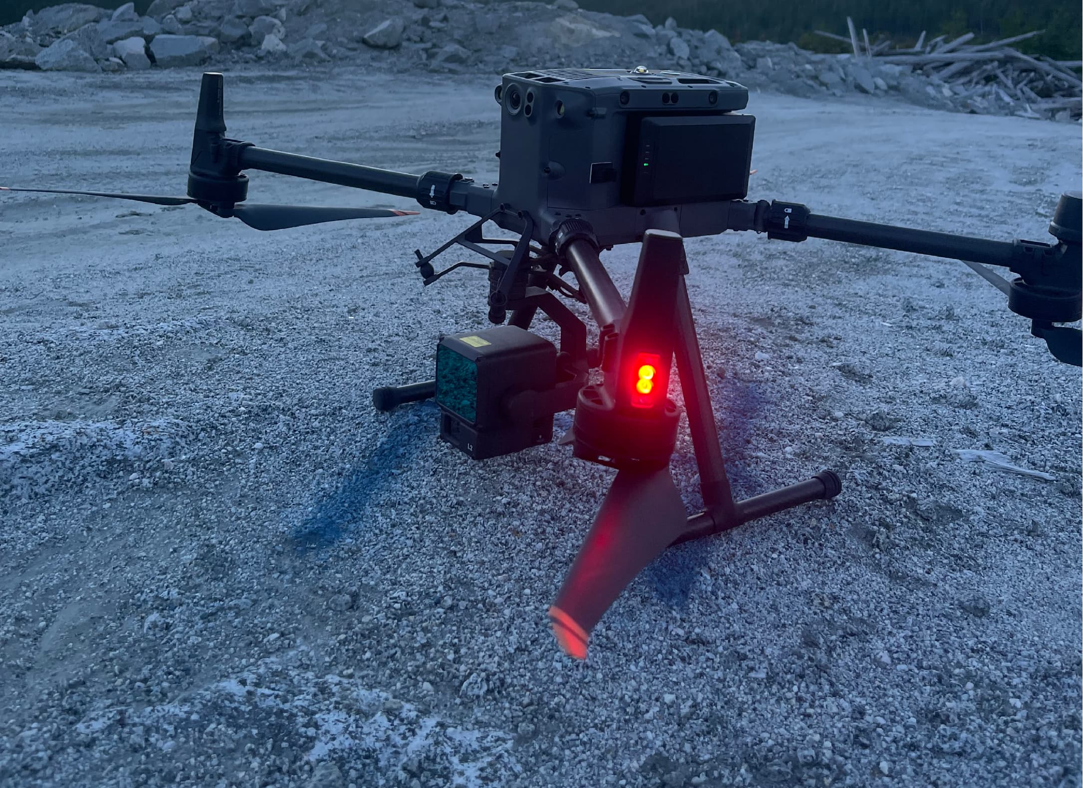
Drones & Sensors
Enterprise aircraft with LiDAR and photogrammetry payloads, flown with survey-grade positioning for mapping you can measure from.
- DJI Matrice 350 / Matrice 400 aircraft
- DJI L2 LiDAR payloads
- High-resolution mapping cameras
- RTK positioning and ground control workflows
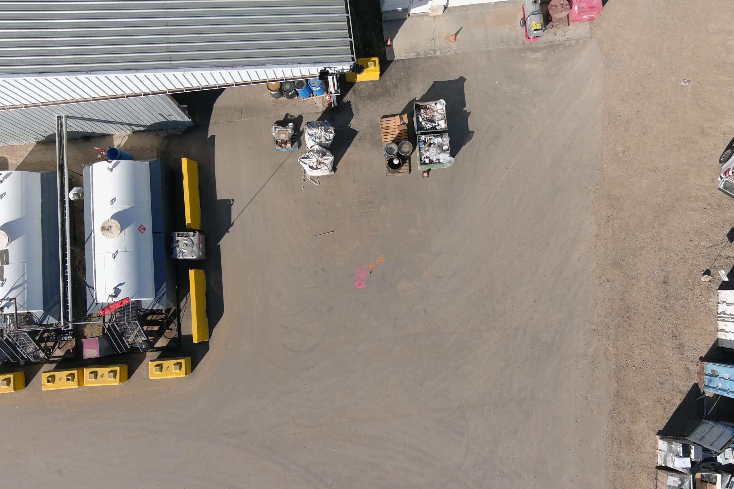
Processing & Software
Field data becomes deliverables here: surfaces, contours, classified point clouds, CAD plans and reports in the formats your team already uses.
- Leica Infinity
- Autodesk Civil 3D
- Agisoft Metashape
- Autodesk ReCap and CloudCompare
- CAD, GIS and point-cloud workflows
In The Field
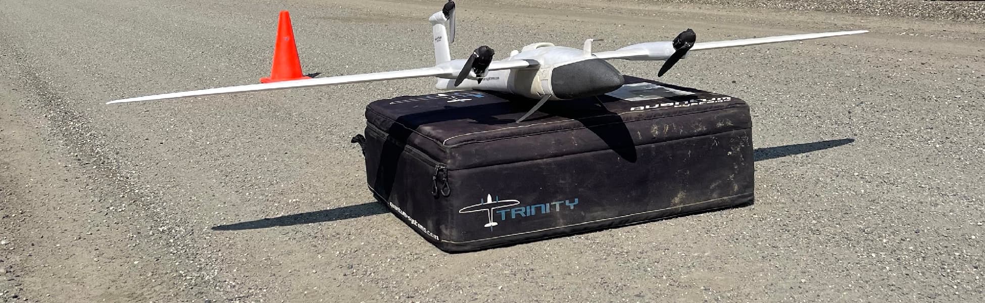
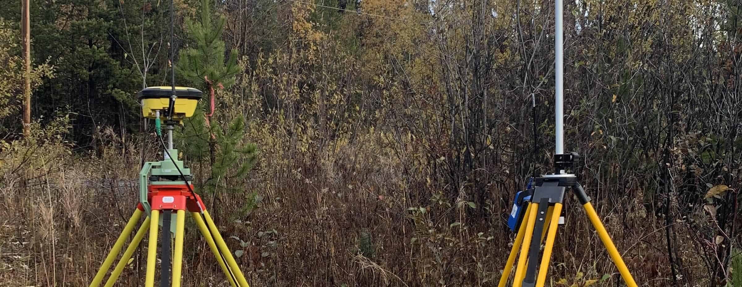
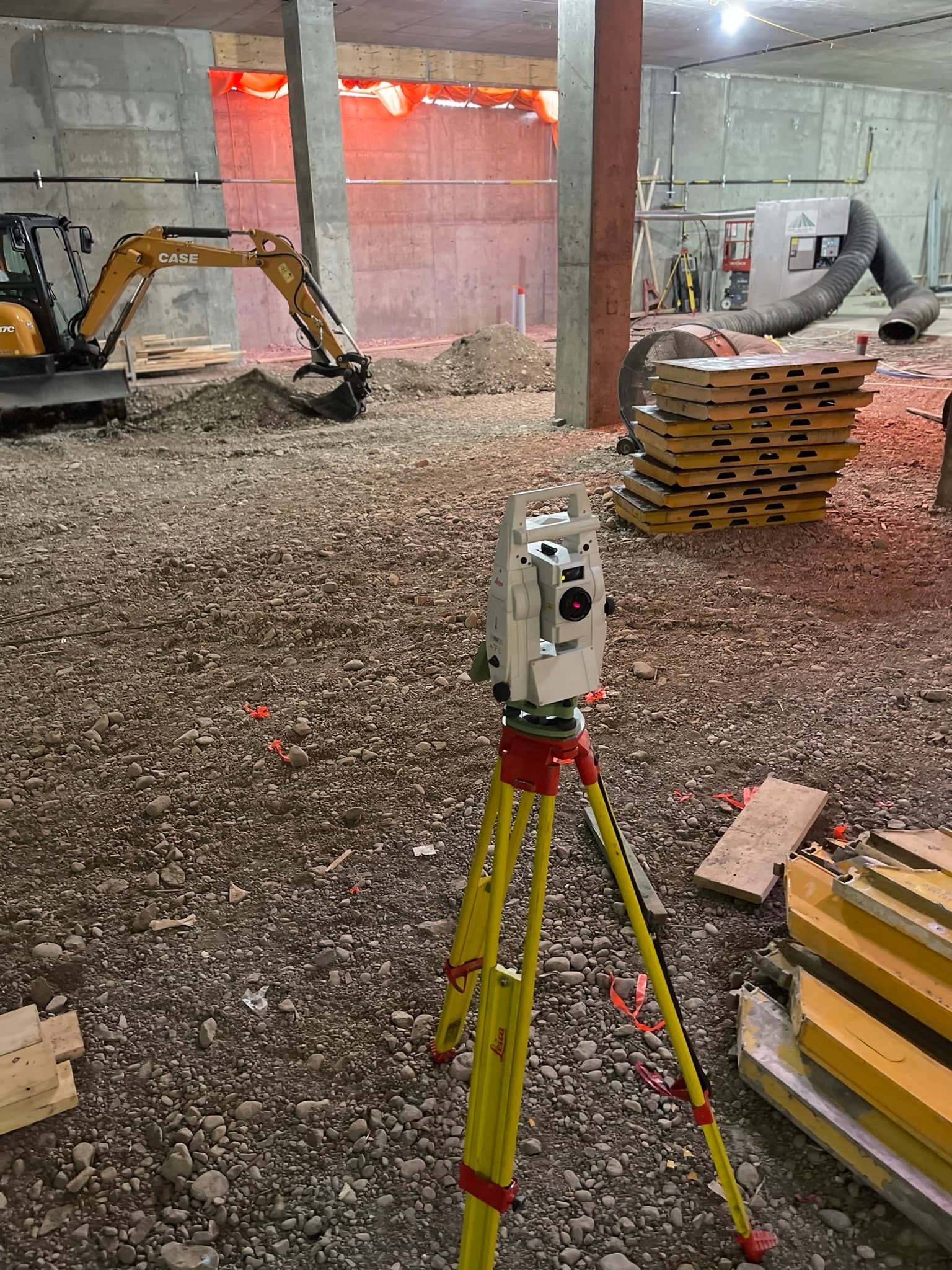
The gear, working
Perspective
Tools serve results
Equipment lists don't finish projects — crews do. We choose and maintain this gear because it produces reliable data in real conditions: cold, dust, tree cover and tight schedules. The deliverable your engineer opens is what matters.
 Field controller working through the rain
 Tribrach and prism close-up
 GPR screen showing utility hyperbolas
 Geodetic benchmark plate
 Survey field gear laid out before a shift
 Controller resting on a benchmark plate
 GNSS antenna close-up in the forest
 Total station close-up inside a warehouse
Ready to get started?
Describe your project and watch your price appear. Most jobs can be quoted, booked and paid online in minutes, any hour, any day.
Prefer to talk? 6 a.m. – 7 p.m., 7 days a week.
- Prince George(778) 764-1626
- Edmonton(587) 400-1260
- Vancouver(604) 800-8708
- Whitehorse(867) 322-3453