
About PCI Surveys
Accurate field data. Clear communication. Useful deliverables.
PCI Surveys is a First Nations-owned surveying, mapping, GPR and private utility locating company serving British Columbia, Alberta and the Yukon.
Who We Are
Built around real field experience
PCI Surveys provides practical field services for contractors, engineers, municipalities, environmental consultants, industrial clients, mining projects, property owners and project managers who need accurate information before construction, excavation, design or reporting.
Whether we are laying out a building, mapping a site with drone and LiDAR, locating private underground utilities or preparing as-built records, the goal is the same: accurate field data, clear communication and deliverables your team can use immediately.
We bring multiple field services together so clients don't have to coordinate separate providers for surveying, locating, GPR, drone mapping and LiDAR. Projects move faster, and nothing falls between scopes.
Field-First
We understand construction sites, utility corridors, mines and remote areas because that's where we work. Deliverables are shaped by what crews and engineers actually need.
One Provider, Full Picture
Surveying, locating, GPR and drone mapping under one roof — so what's above ground, on it and below it comes from one accountable team.
Straight Answers
We explain what our methods can and can't do on your site before we start. No overpromising on detection, accuracy or schedule.
North-Ready
Fly-in sites, winter programs, seasonal roads — our equipment and planning are built for Western Canada and the North, not just city blocks.
First Nations-Owned
Ownership that means something on your project
PCI Surveys is First Nations-owned and operated. For projects with Indigenous procurement and participation requirements, PCI provides a real, defined technical scope — not a name on a proposal.
Where We Work
From city blocks to mountain tops
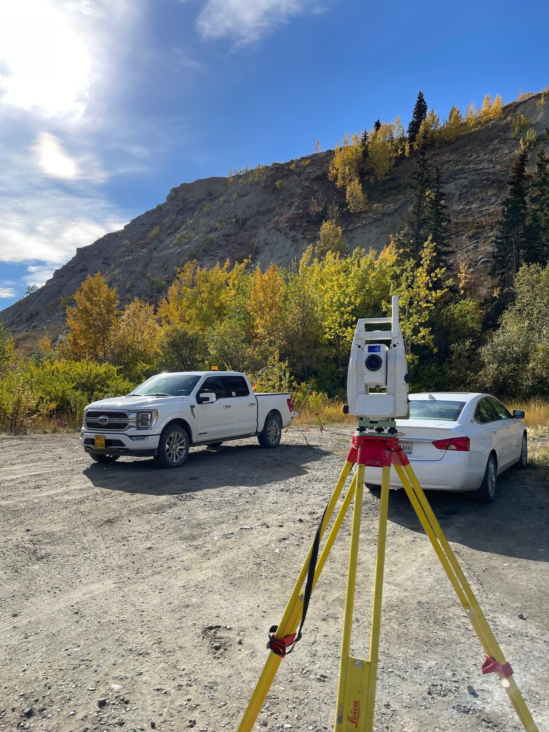
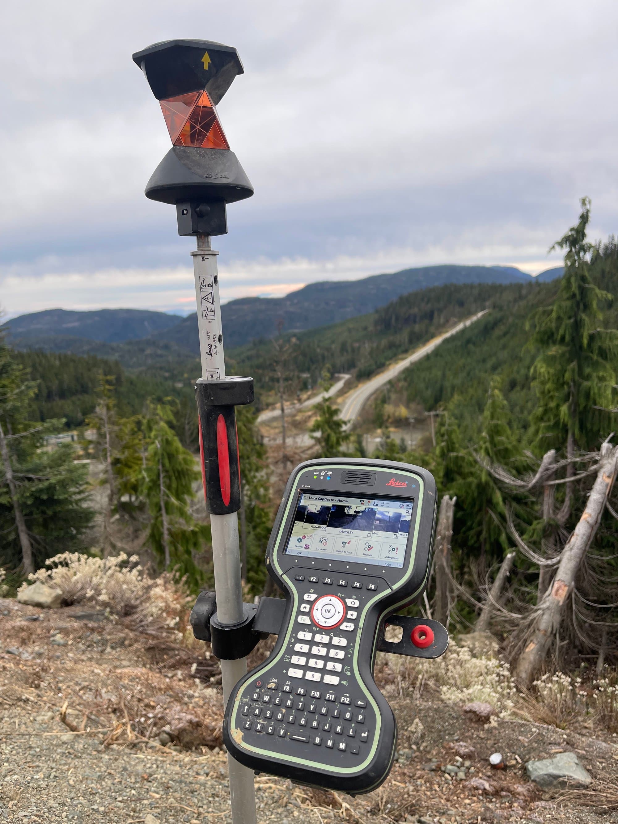
 GNSS base station on a rocky summit
 Total station among suburban locate flags
 GPR cart crossing a grass field
 Flagged stake on a cleared site
 GNSS antenna in a gravel yard
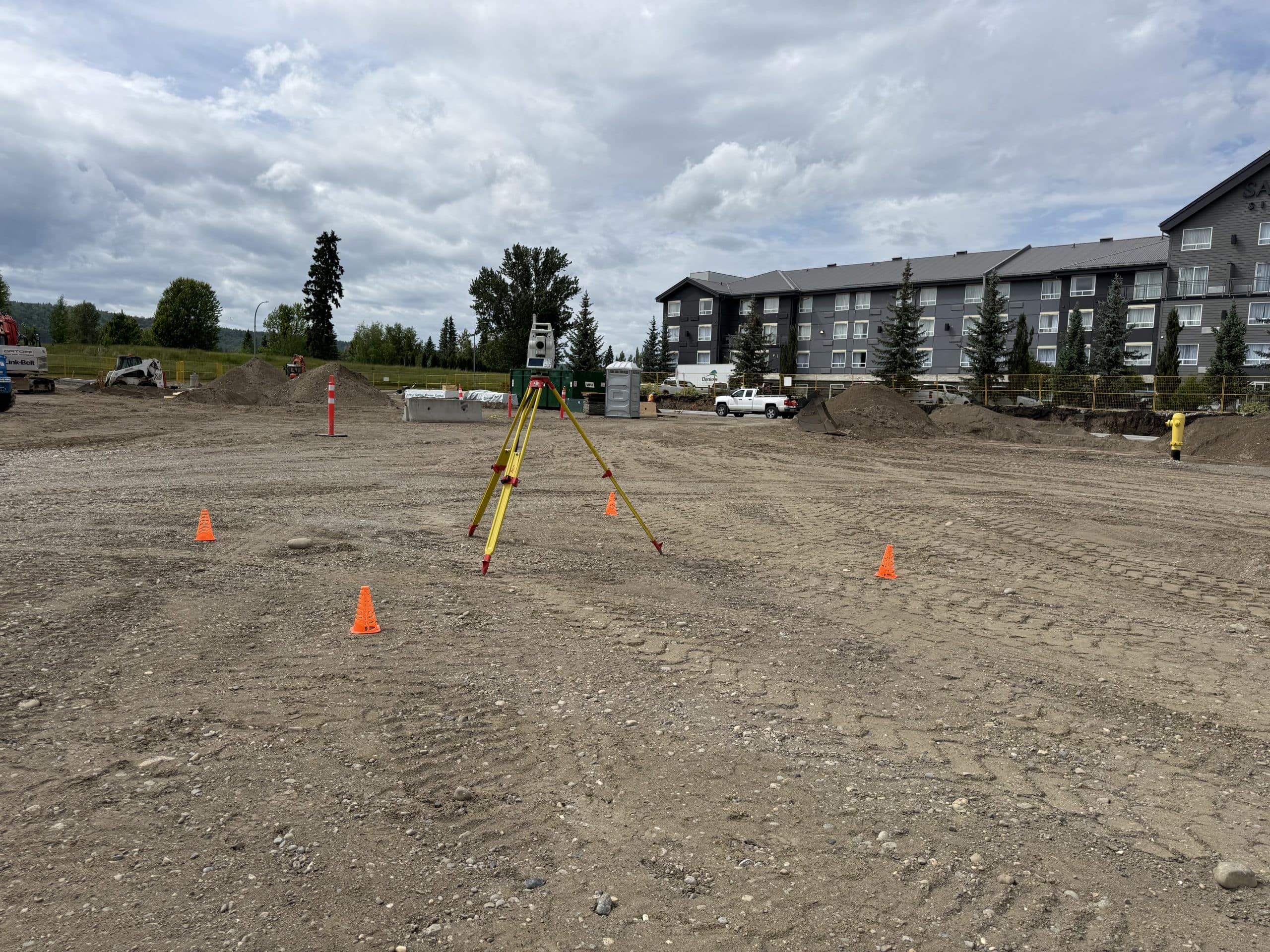
 Total station in a parking area
 Locate flags across a gravel yard
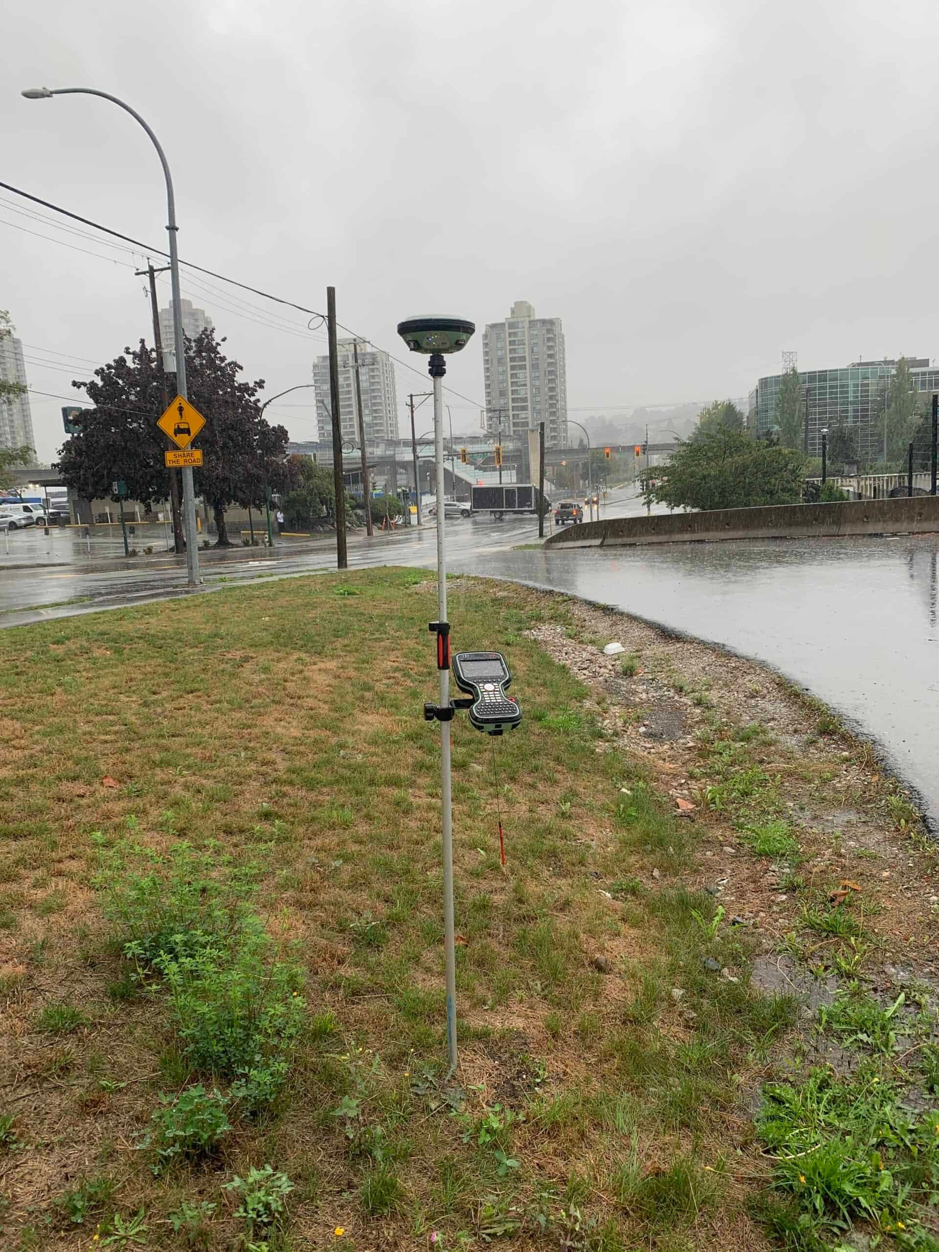
 GNSS receiver and controller on site control
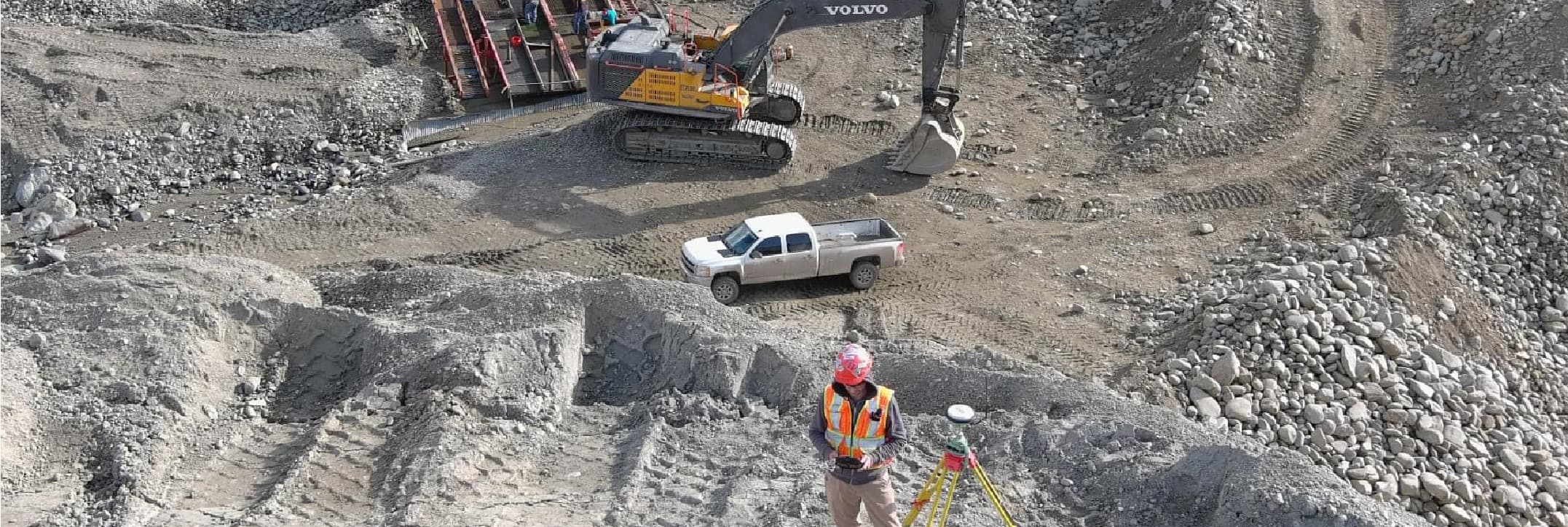
 Staked gravel site ready for construction
 Found iron pin monument with fresh flagging
Our scope of work
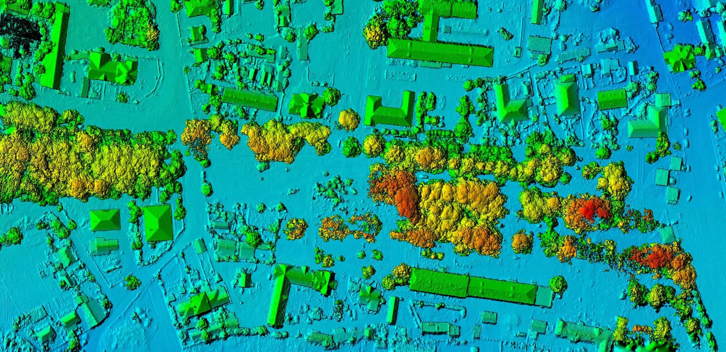
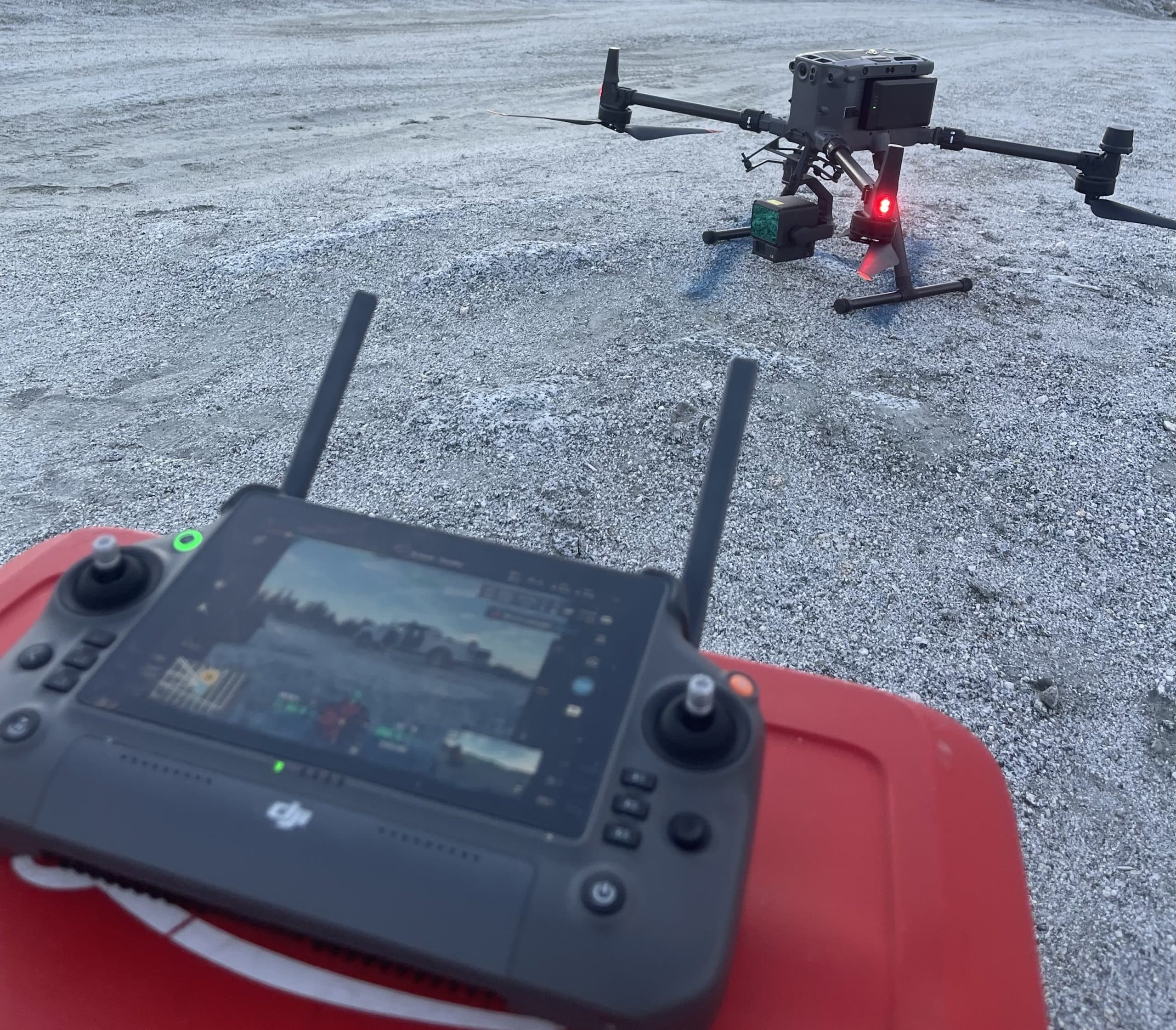
PCI Surveys specializes in construction, engineering and geospatial survey support: construction layout, topographic surveying, as-builts, private utility locating, GPR, drone mapping and LiDAR — the field data that keeps projects building accurately and digging safely.
Ready to get started?
Describe your project and watch your price appear — most jobs can be quoted, booked and paid online in minutes, any hour, any day.
Prefer to talk? 6 a.m. – 7 p.m., 7 days a week.
- Prince George(778) 764-1626
- Edmonton(587) 400-1260
- Vancouver(604) 800-8708
- Whitehorse(867) 322-3453