
Construction Surveying
Construction Surveying
Layout, control, grades and as-builts for buildings, civil works and infrastructure — accurate field positioning that keeps construction moving.
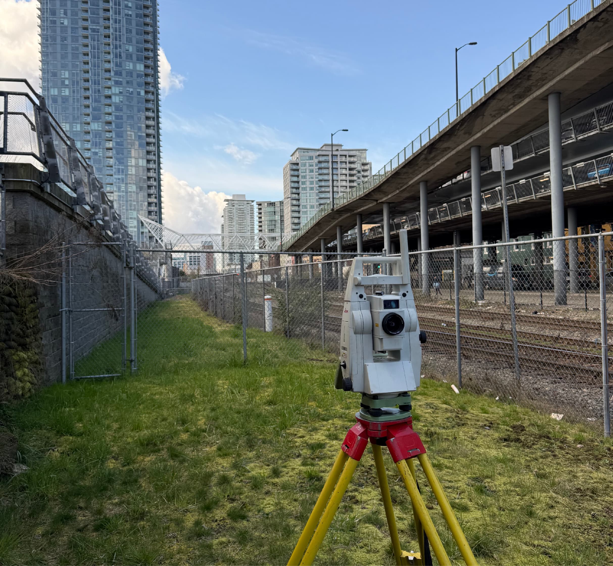
Construction surveying puts the design on the ground. PCI Surveys provides construction survey crews, robotic total stations and GNSS equipment to lay out buildings, foundations, gridlines, utilities, roads and earthworks so that every trade builds in the right place, at the right elevation, the first time.
We support projects across British Columbia, Alberta and the Yukon — from commercial buildings in Vancouver and Edmonton to civil infrastructure, industrial facilities, mine sites and remote northern projects. Our crews work directly from your issued-for-construction drawings and models, coordinate with site supervision, and deliver clear field marks and reporting your team can rely on.
What PCI Performs
- Construction layout and staking
- Building, foundation and anchor-bolt layout
- Gridline and column-line layout
- Survey control networks and site benchmarks
- Elevation control and grade staking
- Civil infrastructure and underground utility layout
- Manhole, catch-basin, pipe and culvert layout
- Road and earthworks layout
- Construction progress and monitoring surveys
- As-built surveys and QA/QC checks
- Quantity, cut-and-fill and volume calculations
- Survey support for engineers and contractors
When You Need It
- Before excavation, forming or concrete placement
- When gridlines, benchmarks or control need to be established on site
- When civil works, utilities or roadworks need layout to line and grade
- When progress quantities or as-built records are required
- When engineering teams need reliable field data from an active site
Who Uses It
- General contractors and construction managers
- Civil and earthworks contractors
- Concrete, forming and steel contractors
- Engineering firms and developers
- Municipalities, utilities and industrial owners
Deliverables
- Field layout marks, stakes and offsets with cut/fill information
- Control network and benchmark summaries
- Layout reports and point lists
- As-built drawings and comparison reports
- Volume and quantity calculations
- CAD, CSV and PDF deliverables compatible with your workflow
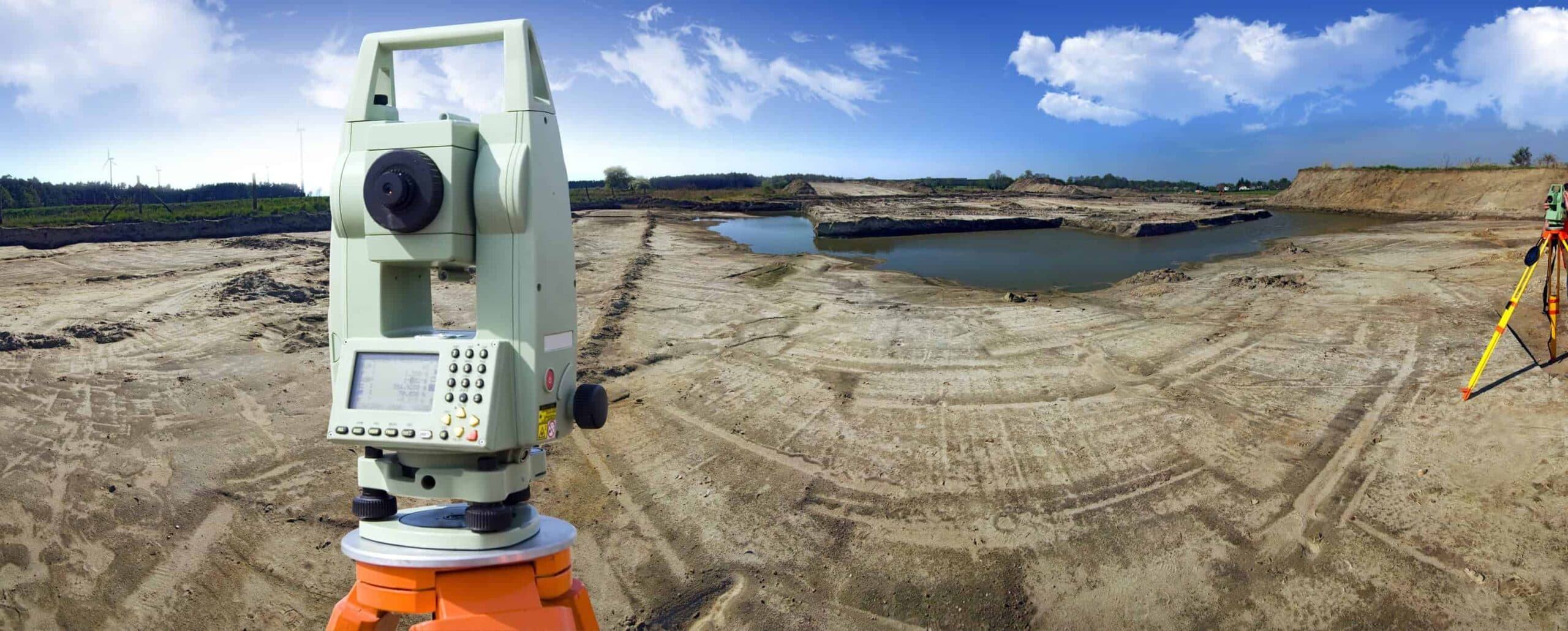
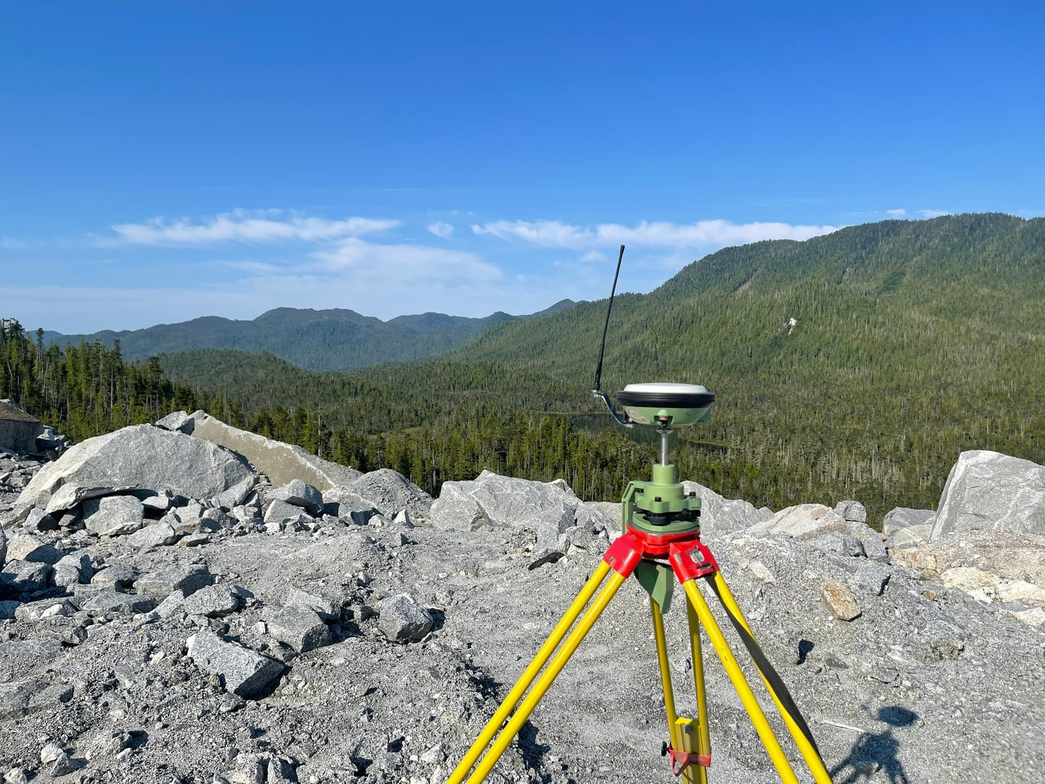
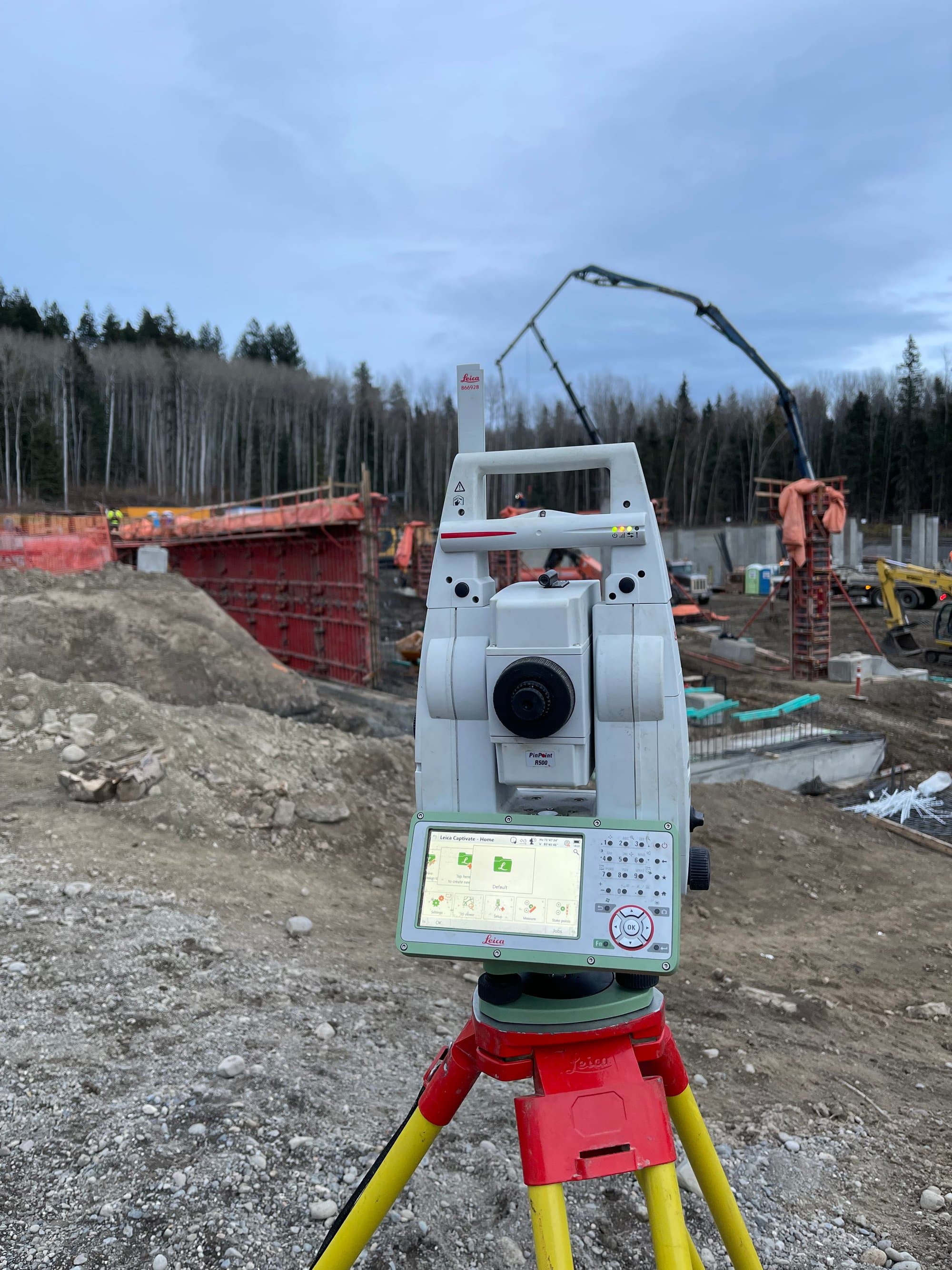
PCI In The Field
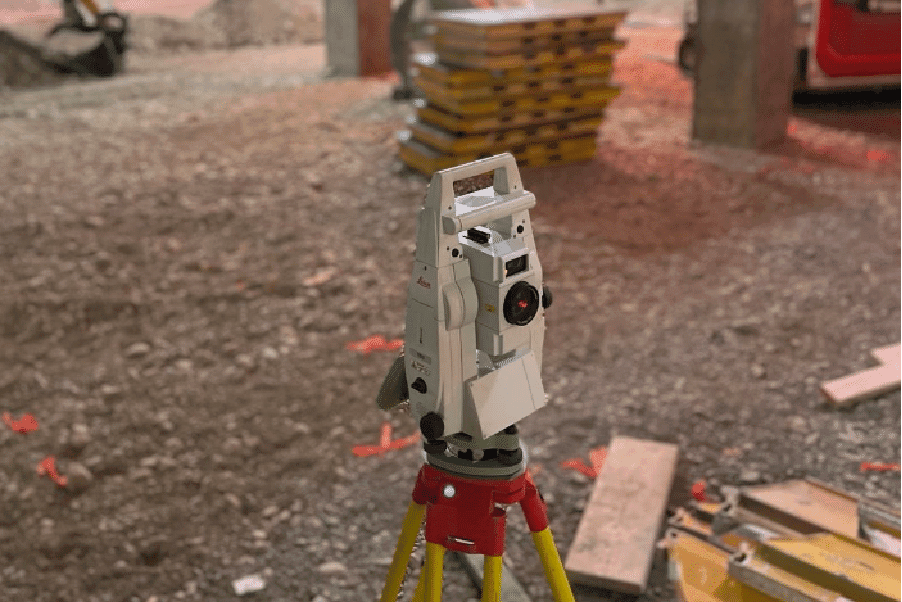
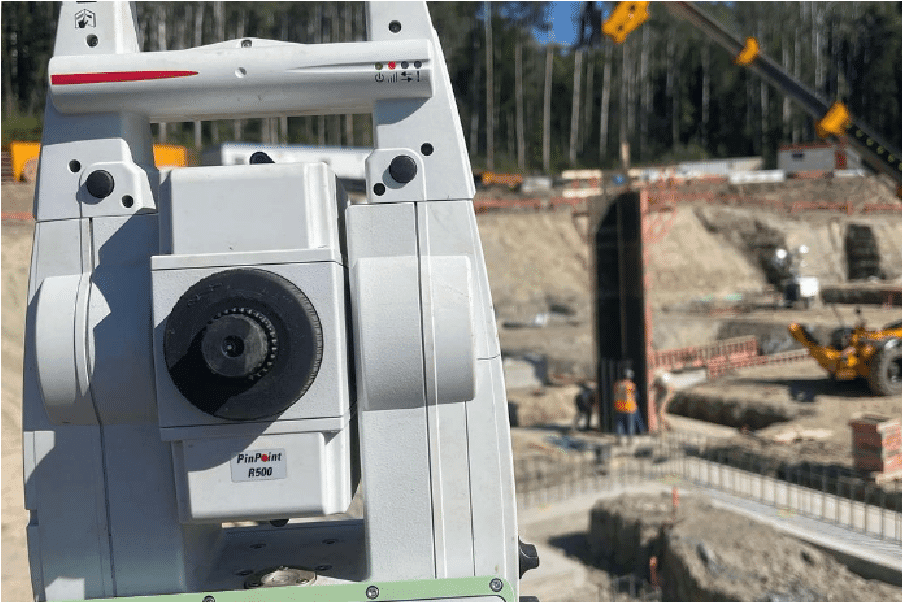
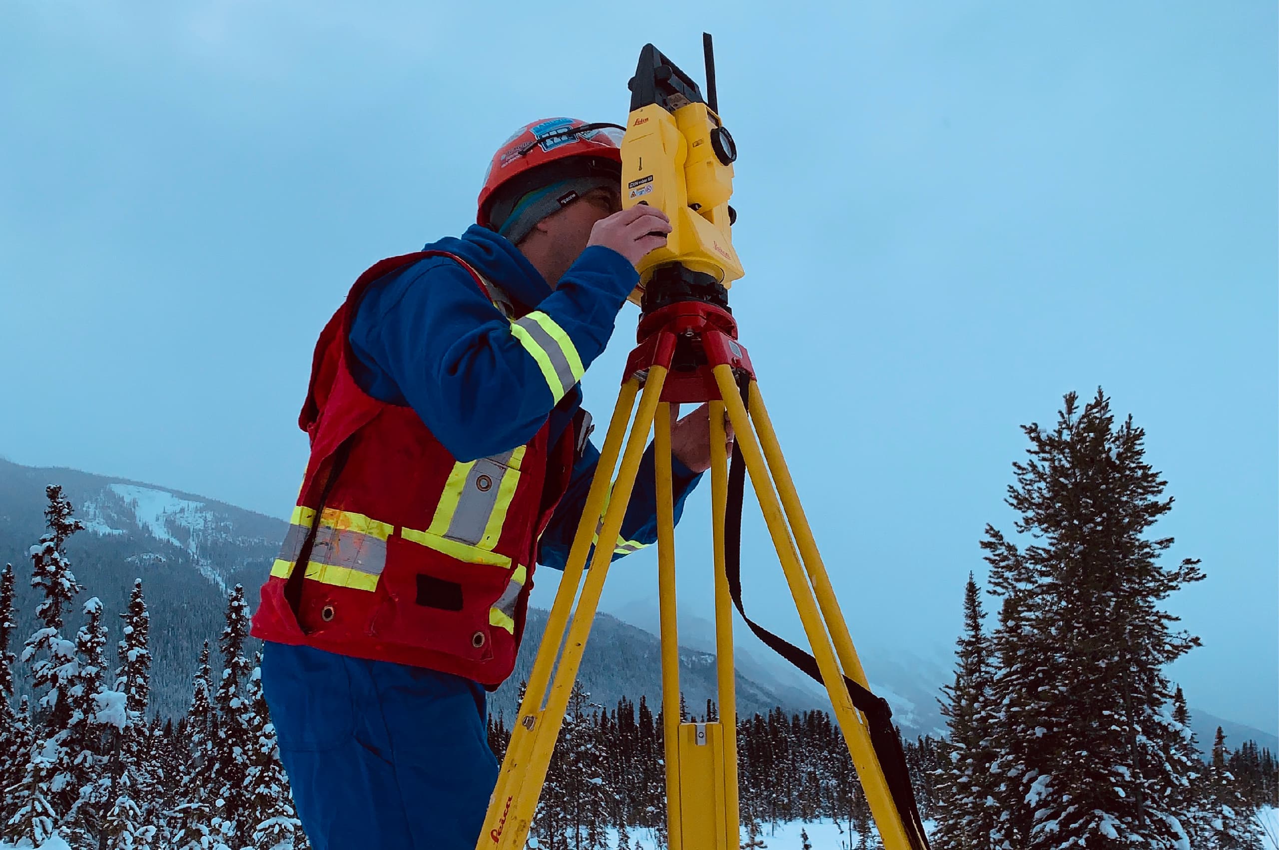
Real crews. Real sites.
Common Questions
Construction Surveying FAQs
What is construction surveying and why is it important?
How often should a construction site be surveyed?
What technologies are commonly used in construction surveying?
Can construction surveying prevent project delays?
What are key safety practices in construction surveying?
Related Services
Often Booked Together
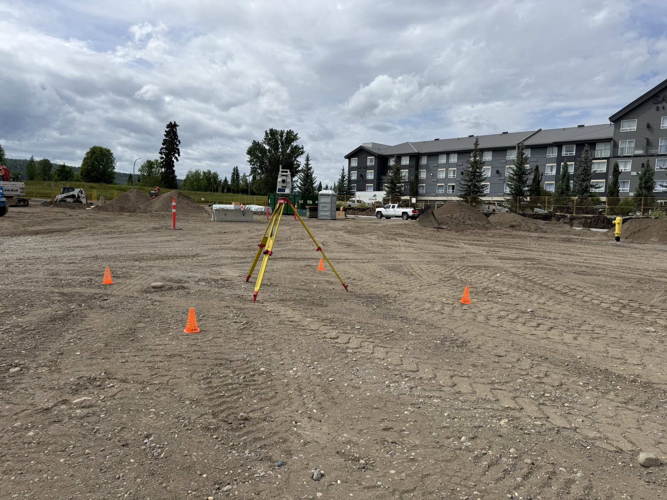
Construction Layout & Staking
Precise stakeout of buildings, gridlines, foundations, utilities and roadworks — direct from your IFC drawings to marks your crews can build from.
Learn More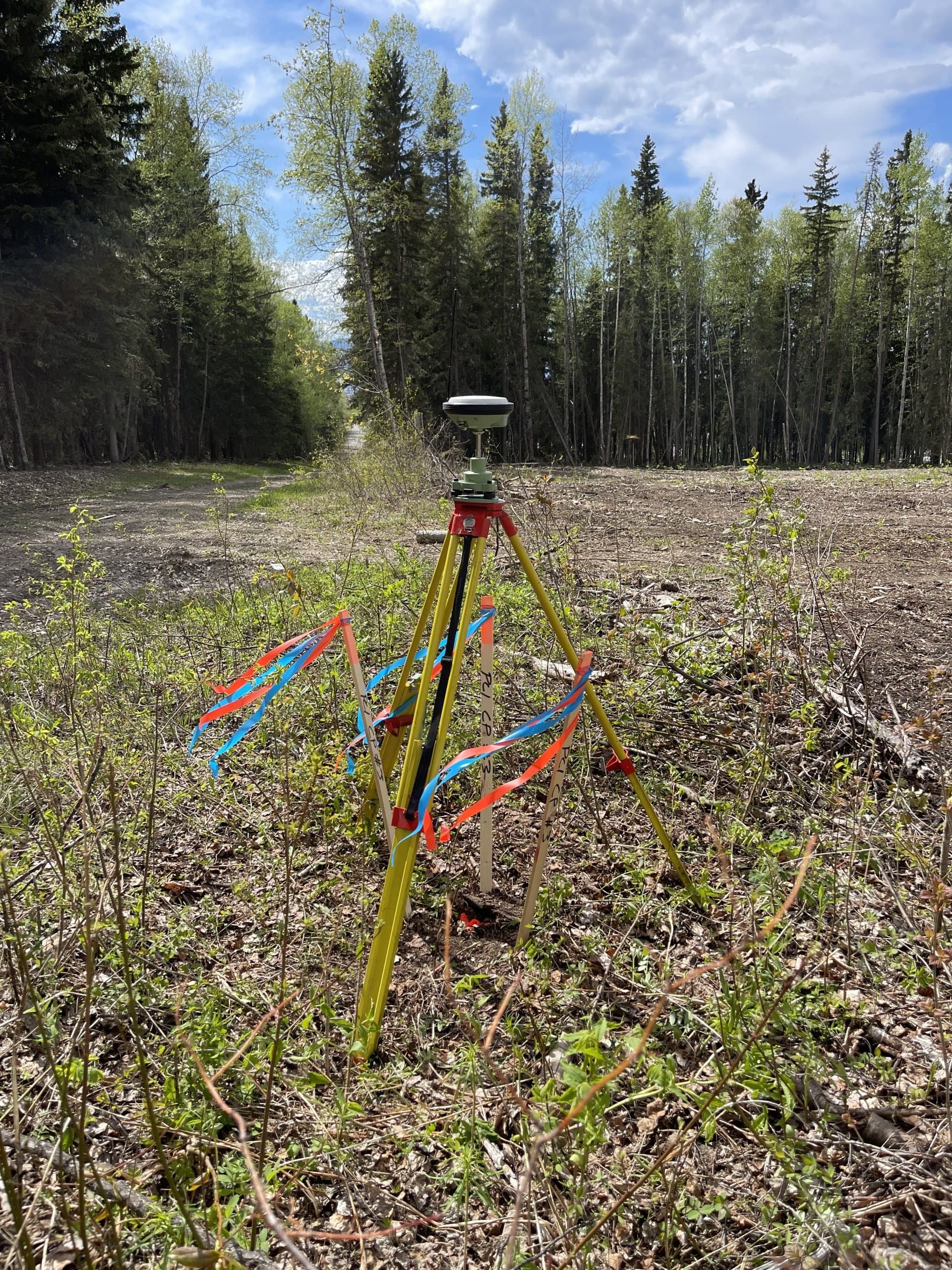
Topographic Surveys
Existing-condition and site surveys that give engineers and planners the accurate ground picture design starts from.
Learn More
As-Built Surveys
Accurate record surveys of what was actually built — for engineering acceptance, municipal turnover, QA/QC and project closeout.
Learn MoreNeed construction surveying?
Send drawings, site plans or a short description. We'll review and respond with a clear scope and quote.
Prefer to talk? 6 a.m. – 7 p.m., 7 days a week.
- Prince George(778) 764-1626
- Edmonton(587) 400-1260
- Vancouver(604) 800-8708
- Whitehorse(867) 322-3453