Whitehorse Surveying, Locating, GPR and Drone LiDAR Services
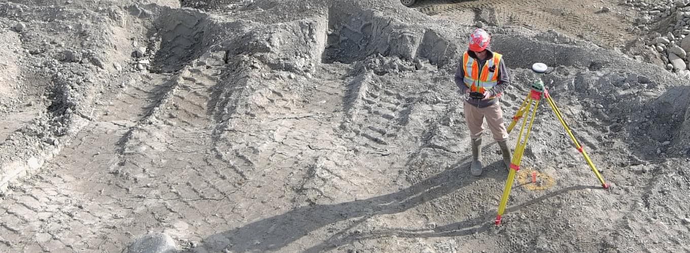
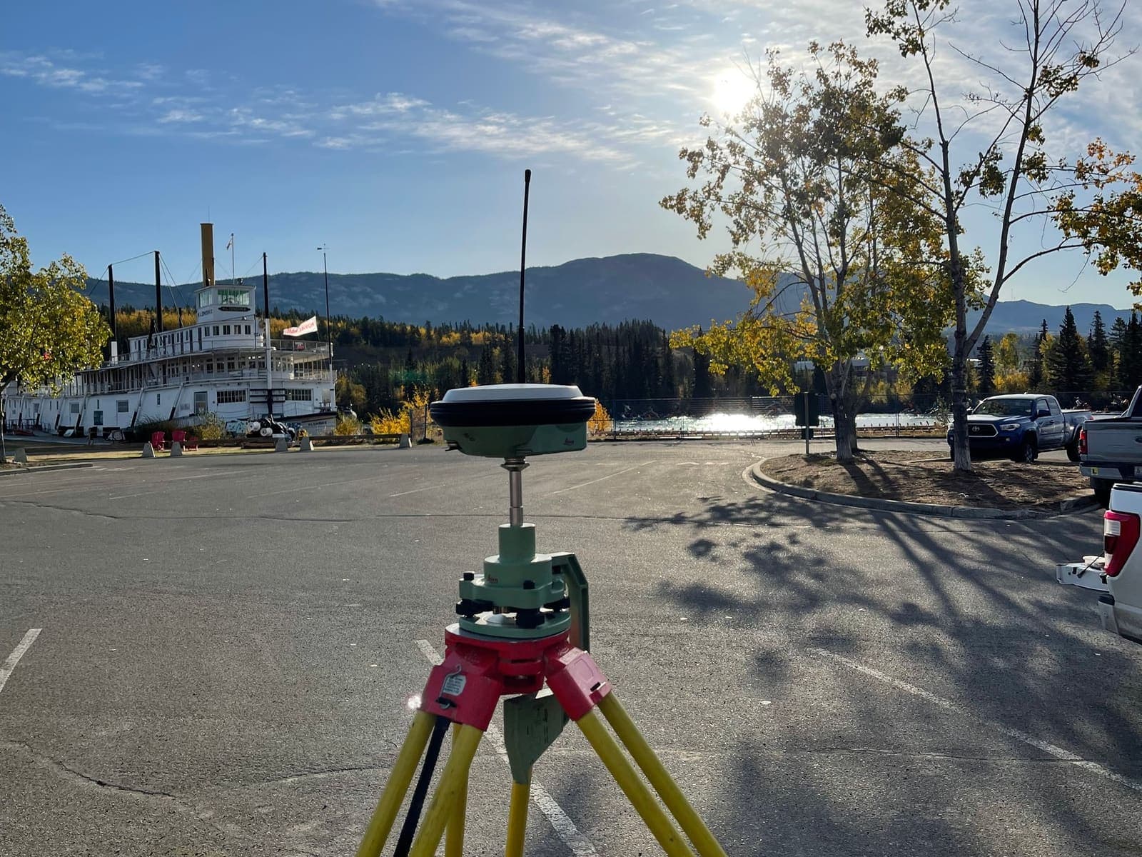
PCI Surveys provides surveying, private line locating, private locating, utility locating, GPR scanning, drone LiDAR mapping and construction survey support in Whitehorse and across Yukon. We support contractors, excavators, engineers, environmental consultants, mining projects, industrial sites, infrastructure projects, homeowners and project managers who need accurate field data before excavation, construction, mapping, layout or remote site work begins. Our Whitehorse and Yukon service area supports projects that need underground utility information, construction layout, topographic data, GPR scanning, drone LiDAR, UAV mapping, as-builts, quantities, site measurements and practical survey deliverables for planning, design, construction, reporting and northern project logistics.Services in Whitehorse & Yukon
PCI Surveys provides the following services in Whitehorse and surrounding Yukon project areas.Private Line Locating in Whitehorse
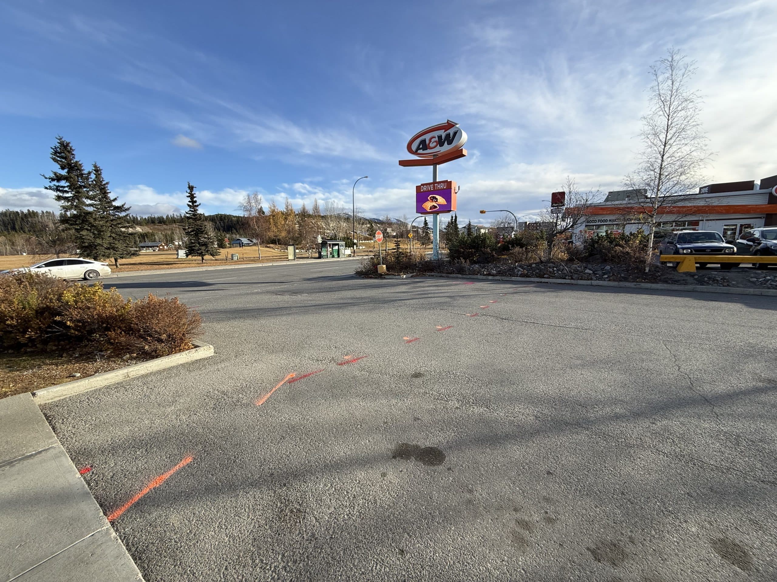
Private line locating, private locating and private utility locating for excavation, trenching, drilling, grading, fencing, site servicing, building upgrades, northern infrastructure and other ground disturbance work. We help locate private underground utilities that may not be covered by public utility locates.GPR Scanning in Whitehorse
Ground penetrating radar scanning for utility investigation, unknown buried services, concrete scanning support, subsurface features and sites where records, drawings or utility information are incomplete.Construction Surveying in Whitehorse
Construction layout, site control, grades, foundations, anchor bolts, gridlines, as-builts, quantities and project measurement for contractors, builders, engineers and construction teams working in Yukon conditions.Drone LiDAR Surveying in Yukon
Drone LiDAR and UAV mapping for terrain data, orthophotos, point clouds, contours, surface models, corridors, access routes, mine sites, remote project areas and northern infrastructure planning.Mining and Reclamation Surveying in Yukon
Survey support for mining, reclamation, environmental, aggregate, industrial and resource projects that need site data, volumes, topographic surveys, drone mapping, LiDAR or as-built documentation.Topographic and As-Built Surveys in Whitehorse
Topographic surveys, existing condition surveys, site measurements, drainage data, surface models and as-built survey support for engineering, design, construction and project closeout.Private Line Locating in Whitehorse
Private line locating is one of the main services PCI Surveys provides in Whitehorse and Yukon. Public utility locates may not cover privately owned underground services after the property line, around buildings, on private land, inside industrial or commercial sites, or within remote project limits. PCI Surveys helps identify and mark private utilities before excavation, drilling, trenching, grading, fencing, site servicing or construction work begins. Private underground utilities may include gas, power, communications, water, sewer, storm, irrigation, lighting, septic, unknown buried services and other site utilities. In Yukon, records may be incomplete or site access may be limited, so PCI Surveys can combine locating methods with GPR and survey support to help reduce uncertainty before ground disturbance. Learn more about private line locating in WhitehorseGPR Scanning and Utility Investigation
Ground penetrating radar can be useful for locating or investigating underground utilities, buried structures, concrete, voids and other subsurface features. GPR is often used when utility records are incomplete, when unknown lines may be present or when a project requires more information before excavation, coring, drilling or construction. GPR performance depends on soil conditions, surface conditions, depth, material type, frost, moisture and site access. PCI Surveys uses GPR as part of a practical site investigation approach and can combine it with electromagnetic locating, visual inspection, available plans and survey measurements where appropriate. Learn more about GPR scanning in WhitehorseSurveying and Mapping Support for Yukon Projects
PCI Surveys supports Whitehorse and Yukon construction, engineering, mining, environmental, industrial and infrastructure projects with field data and deliverables that can be used for planning, design, layout, quantities, construction support and project documentation. Depending on the project, deliverables may include survey points, site control, layout data, topographic information, as-built measurements, drone orthophotos, LiDAR point clouds, contours, surface models, volume calculations and CAD-ready information.Areas Served Around Whitehorse
PCI Surveys supports projects in Whitehorse and throughout Yukon, including nearby communities, mine sites, infrastructure corridors, environmental projects, remote access areas and northern project sites depending on scope, schedule and mobilization requirements.- Whitehorse
- Dawson City
- Watson Lake
- Haines Junction
- Carcross
- Tagish
- Marsh Lake
- Teslin
- Carmacks
- Faro
- Mayo
- Pelly Crossing
- Ross River
- Burwash Landing
- Beaver Creek
- Yukon project sites
Project Types We Support
- Excavation and ground disturbance projects
- Commercial and industrial construction sites
- Residential and private utility locating
- Road, civil and infrastructure projects
- Mining, aggregate and reclamation sites
- Environmental and engineering investigations
- Drone LiDAR and mapping projects
- Topographic and as-built survey projects
- Site servicing, grading and drainage work
- Remote and regional Yukon project sites
Why Choose PCI Surveys in Whitehorse?
- Surveying, private line locating, utility locating, GPR and drone LiDAR support from one field provider
- Experience supporting construction, engineering, mining, environmental, industrial and infrastructure projects
- Practical field deliverables for excavation planning, construction layout, mapping, quantities and as-builts
- Support for Whitehorse, surrounding communities and regional Yukon project sites
- Indigenous-owned and operated