
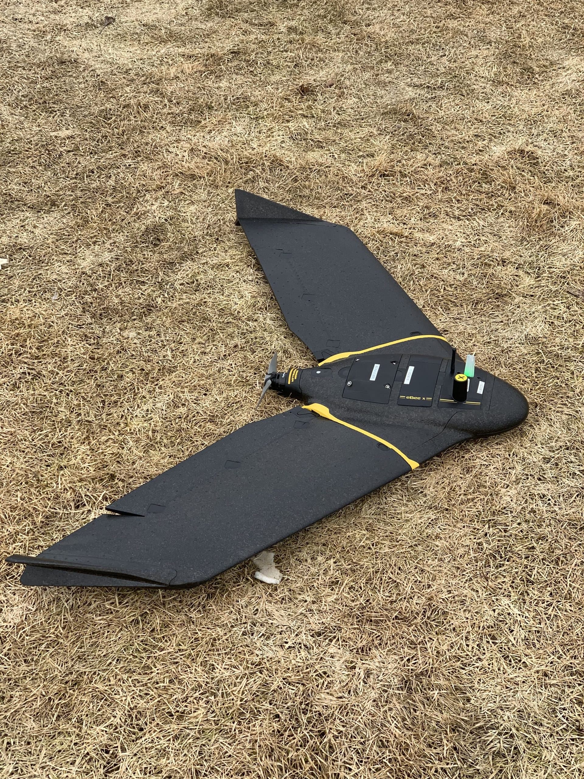
Drone Mapping & LiDAR
Drone Mapping & Photogrammetry
Survey-grade aerial mapping: orthophotos, surfaces, contours and volumes captured in a fraction of the time ground crews need.
Mission Planning
Every flight is engineered
Before a propeller turns, the mission is built: flight lines, overlap, altitude and ground control all planned against the site. That's how a stack of photos becomes survey-grade data you can design from.
Map My Site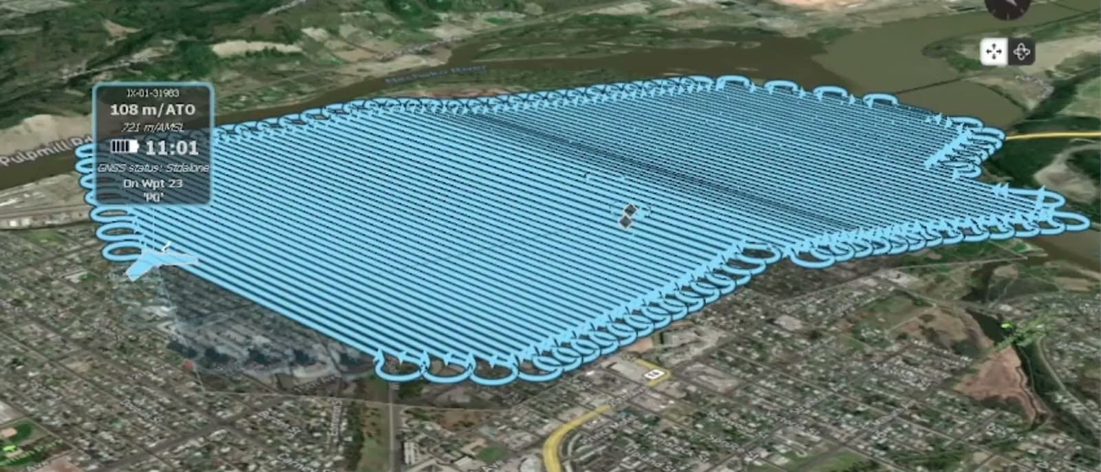
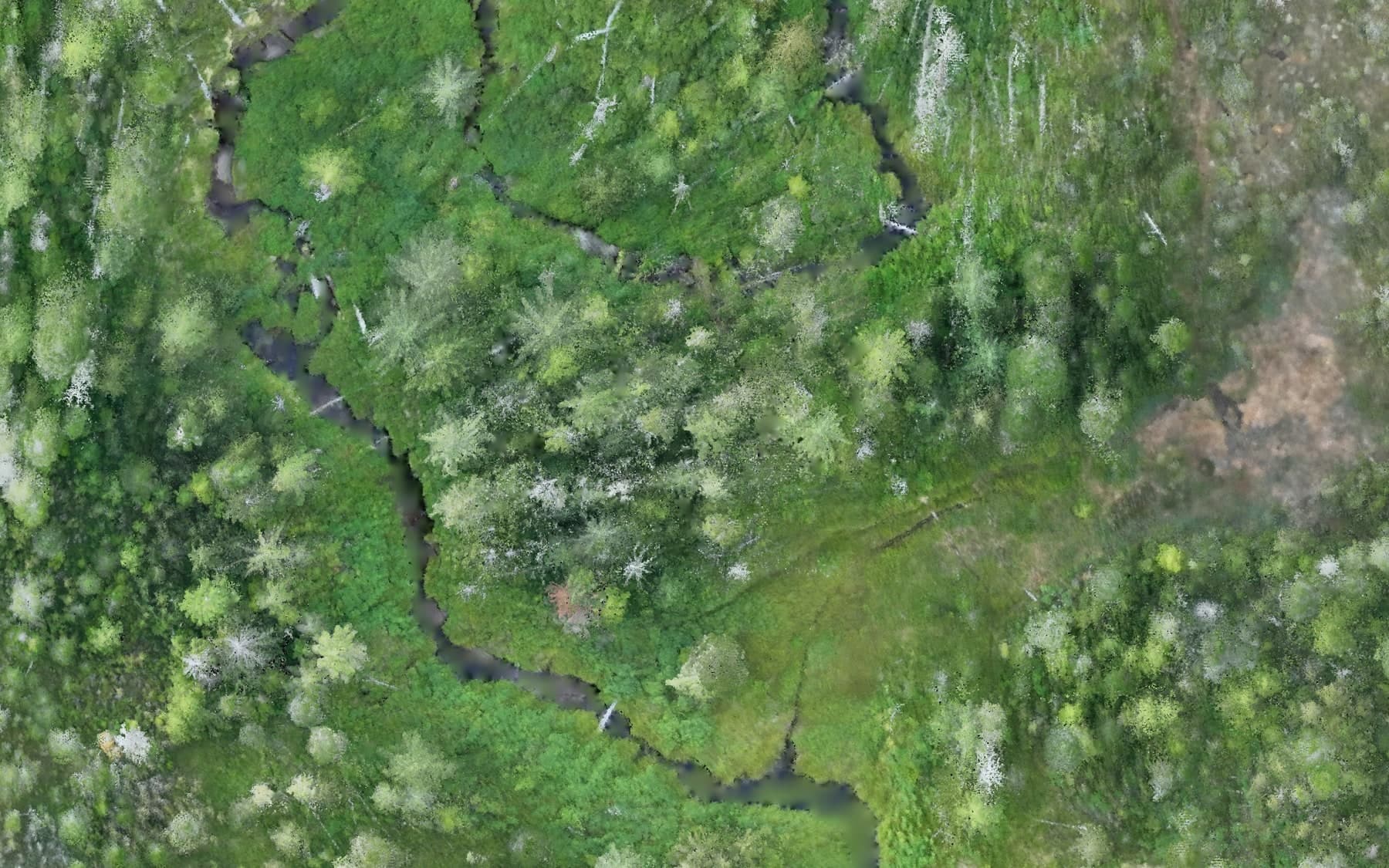
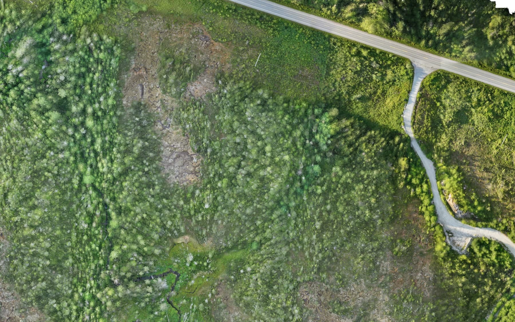
Drone photogrammetry turns overlapping aerial photos into survey-grade mapping products: high-resolution orthophotos, dense point clouds, terrain surfaces, contours and measurable 3D models. Large sites that would take ground crews days can be captured in hours — safely, without walking crews through active work areas.
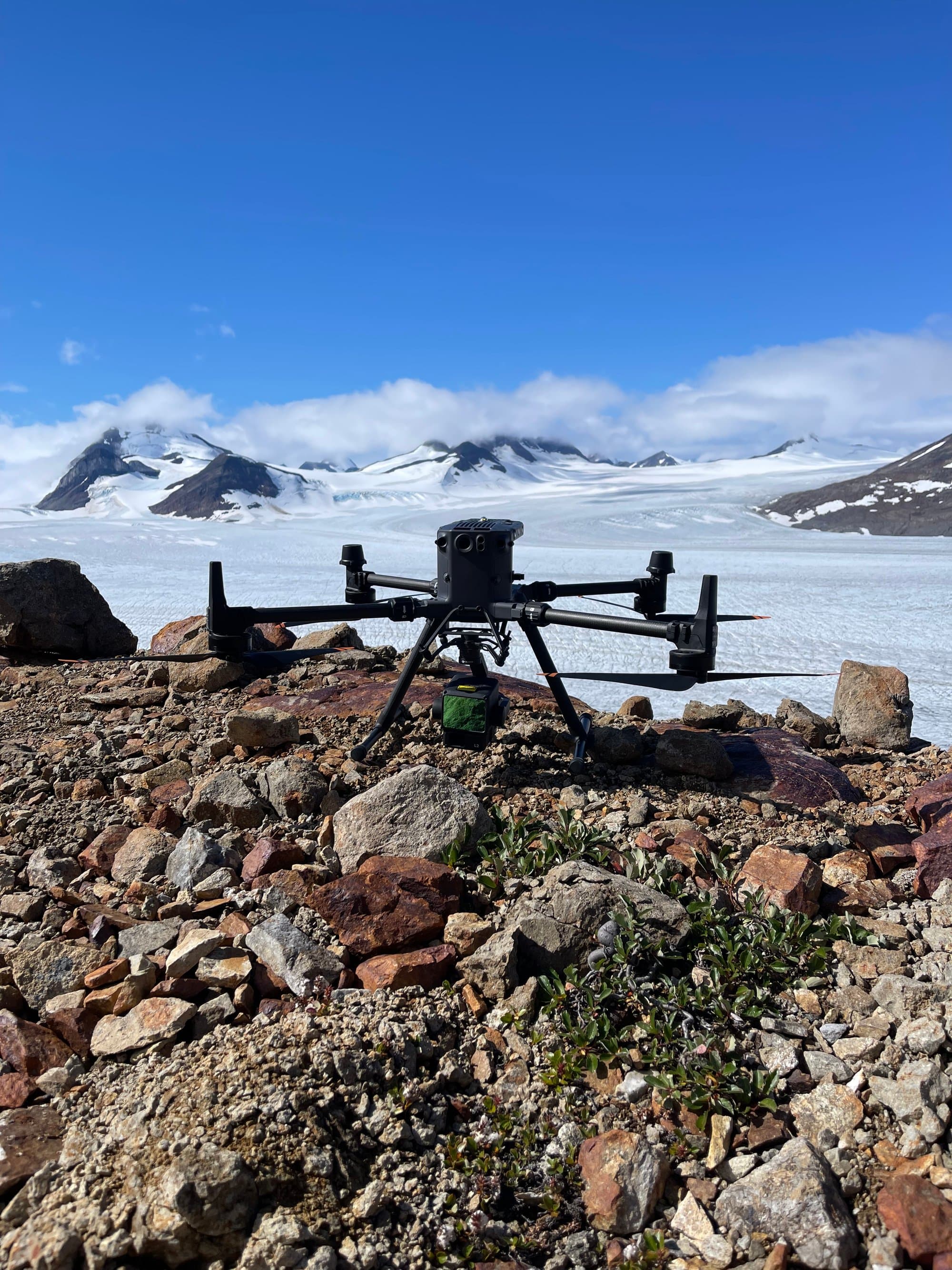
PCI Surveys flies DJI enterprise aircraft with ground control and RTK positioning, and processes data through Agisoft Metashape and Civil 3D workflows. We map construction sites, mines, corridors, stockpile yards and remote project areas across BC, Alberta and the Yukon.
What PCI Performs
- Aerial site mapping and orthophoto production
- Photogrammetric surface and terrain modelling
- Contour generation
- Stockpile and earthworks volume measurement
- Construction progress mapping
- Existing-condition and corridor mapping
- Industrial and mining site mapping
When You Need It
- Mapping large or active sites quickly and safely
- Monthly progress documentation
- Volume measurement without ground access
- High-resolution visual records for engineering and design
Who Uses It
- Engineering firms and designers
- Earthworks contractors and aggregate producers
- Mining companies
- Developers and project owners
Deliverables
- Georeferenced orthophotos
- Point clouds (LAS/LAZ)
- Surfaces and DTMs (Civil 3D compatible)
- Contours, volumes and progress comparisons
- Web-shareable maps and imagery
Interactive Demo
Measure a real orthophoto →
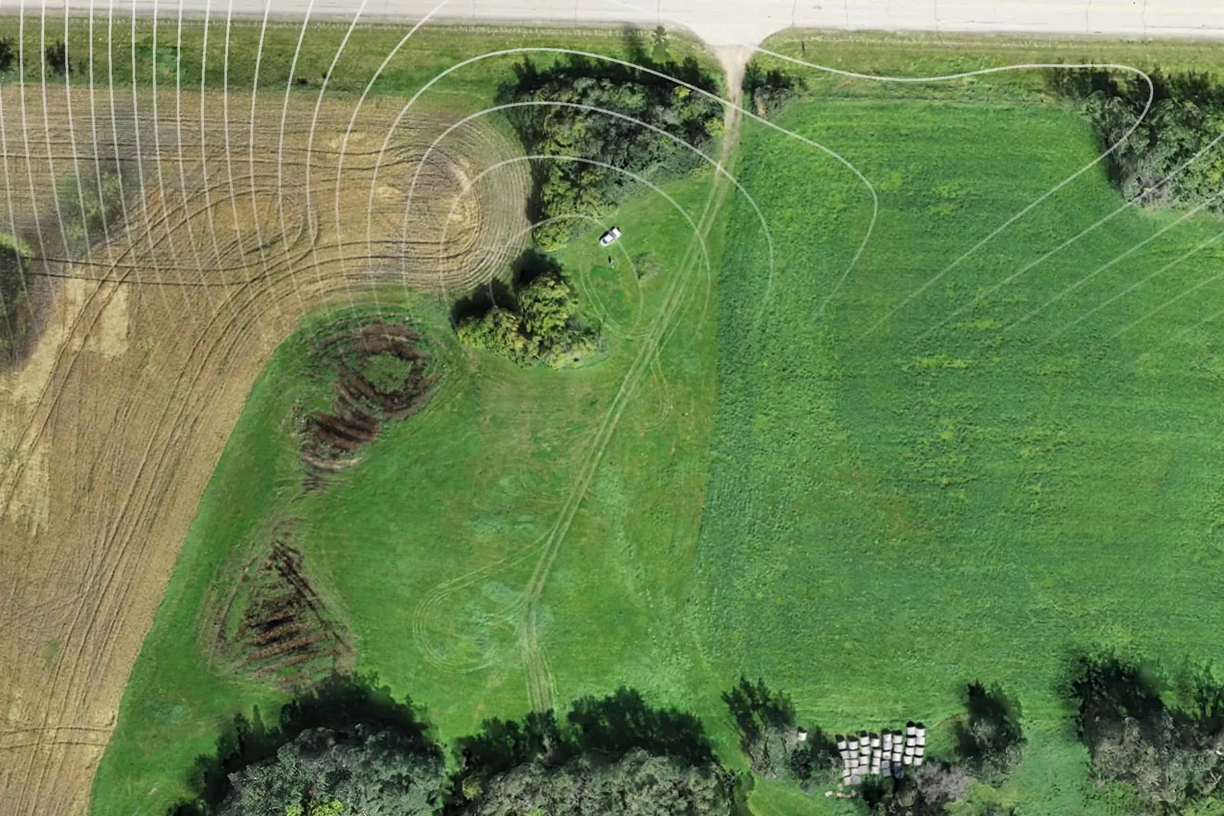
2 cm/px drone imagery from an actual PCI flight — pan, zoom and pull real dimensions straight off the photo.
Interactive Demo
Fly a real PCI point cloud →
2.6 million measured ground points from an actual drone LiDAR survey — orbit, zoom and see exactly what we deliver.
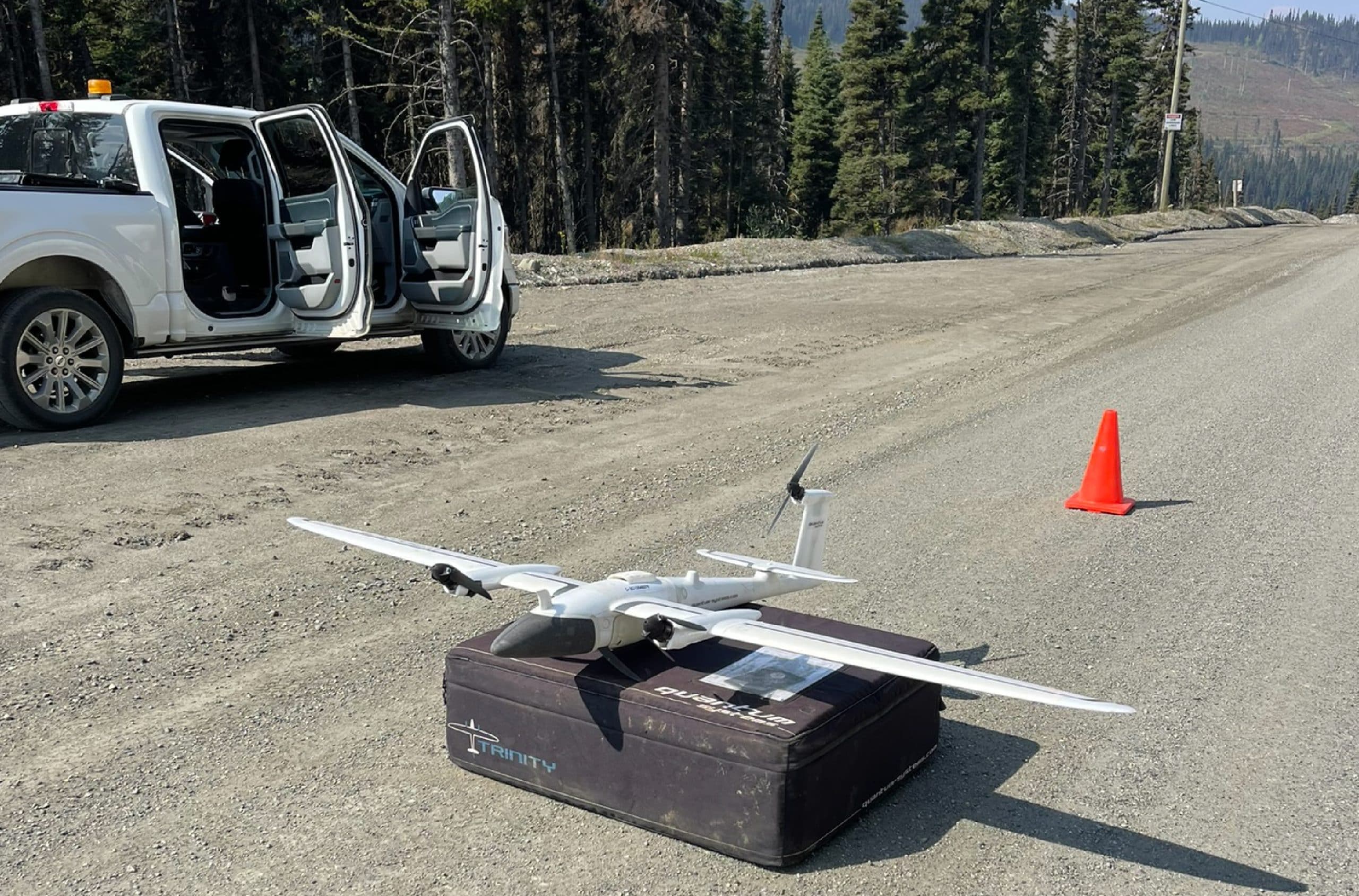
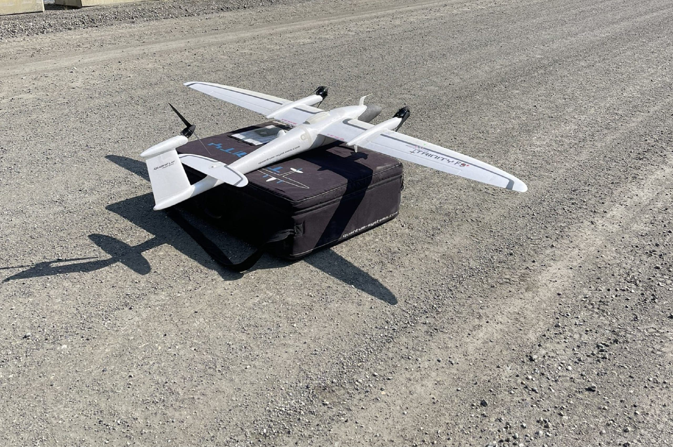
PCI In The Field
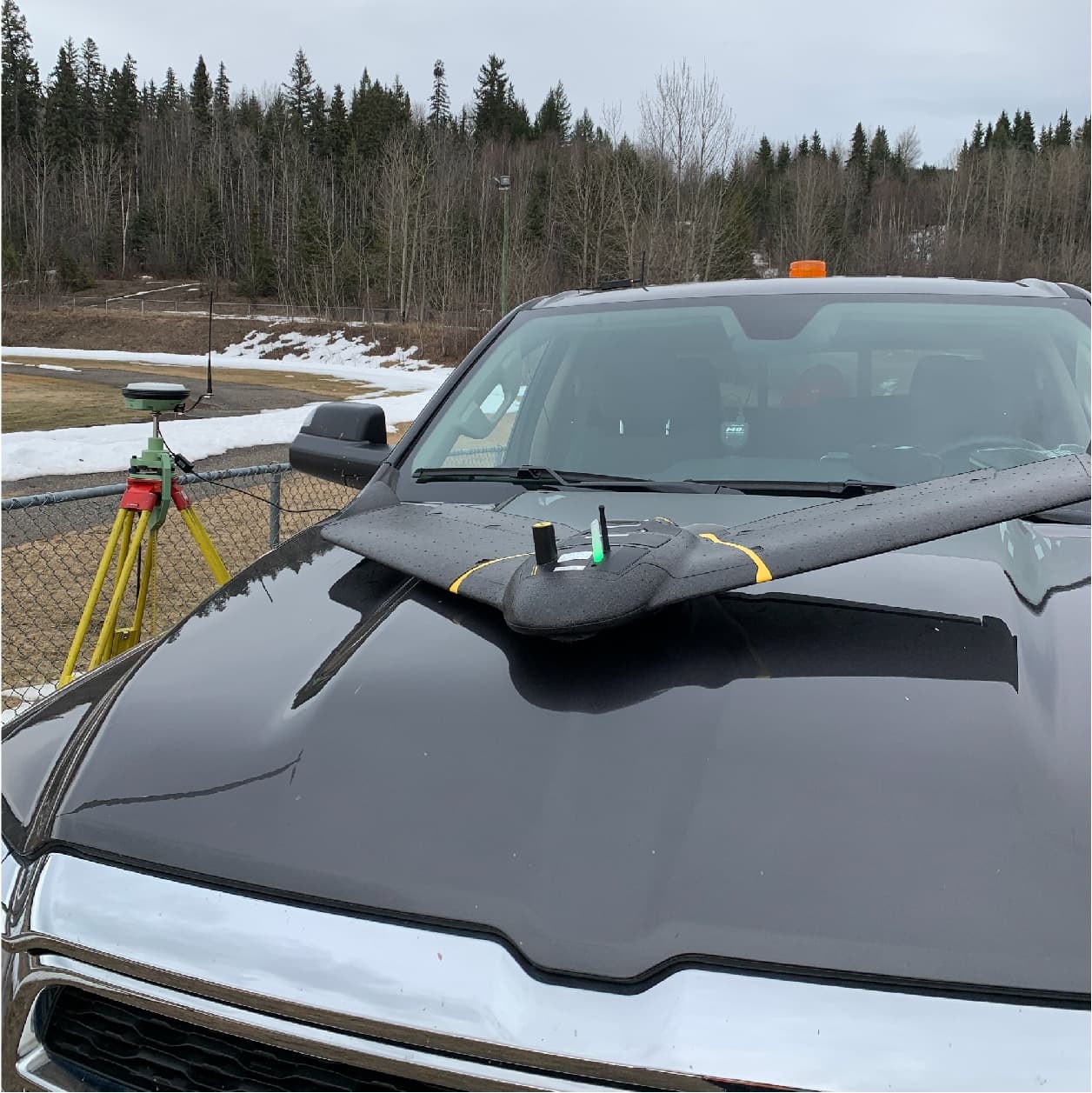
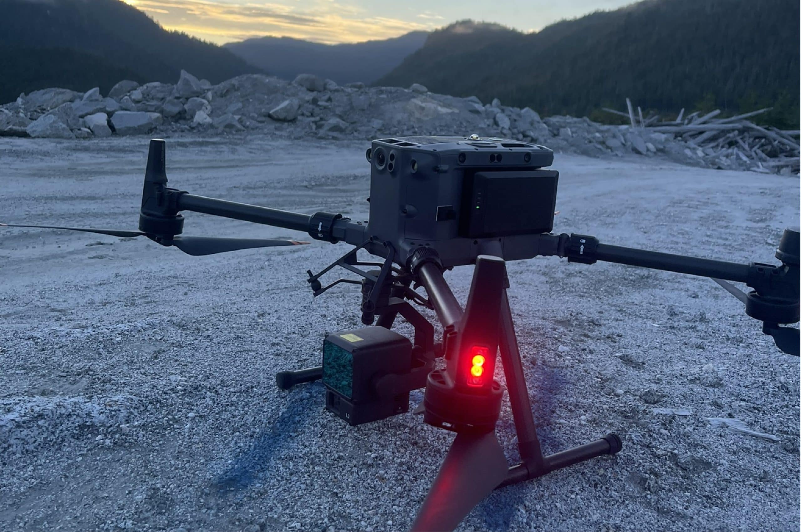
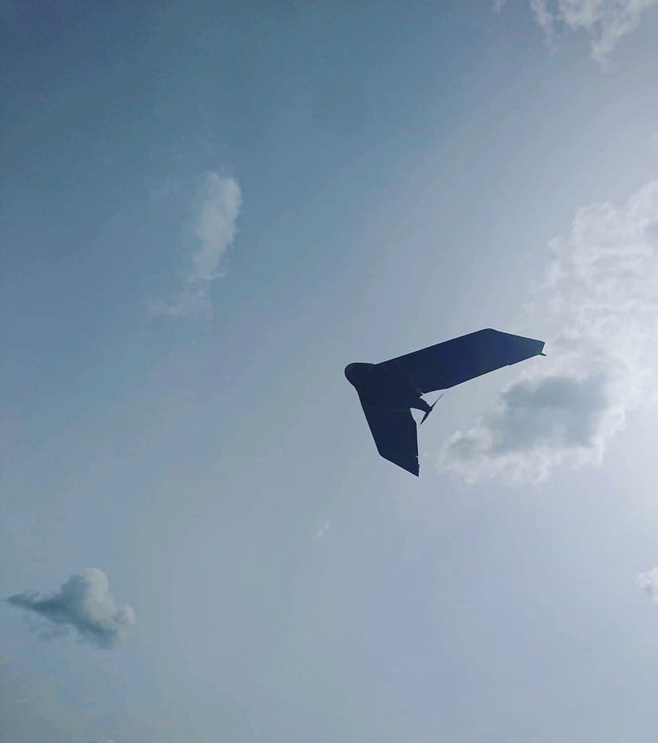
Real crews. Real sites.
Common Questions
Drone Mapping FAQs
What deliverables come from drone mapping?
High-resolution orthophotos, 3D models, point clouds, contours, surfaces and volume reports — plus regular progress imagery of your whole site.
How accurate is drone mapping?
Flown with survey-grade ground control, the results support engineering design, quantities and progress measurement — and we validate every project against checkpoints.
Are your drone pilots certified?
Yes — flights are conducted by certified pilots operating under Transport Canada regulations, with the permissions each site and airspace requires.
When is drone mapping the right choice?
Large or active sites, stockpile yards, hazardous or hard-to-access ground, and any project that benefits from frequent, repeatable aerial updates.
Related Services
Often Booked Together
Drone LiDAR
Aerial LiDAR that maps the ground even under trees — bare-earth terrain models for forested, remote and complex sites.
Learn More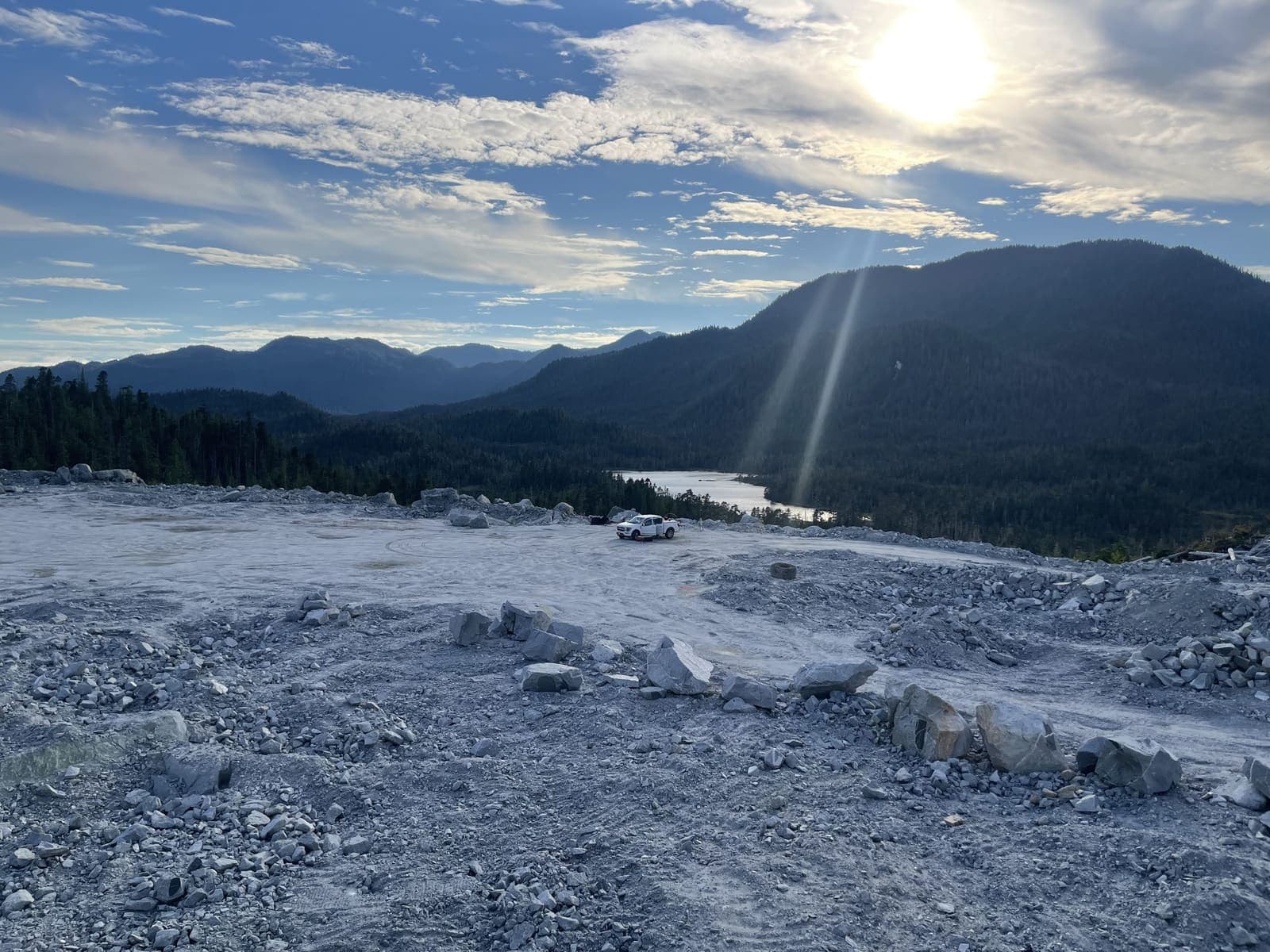
Earthworks & Volume Surveys
Stockpile, cut-and-fill and progress volumes measured properly — defensible numbers for payment, planning and inventory.
Learn More
Topographic Surveys
Existing-condition and site surveys that give engineers and planners the accurate ground picture design starts from.
Learn MoreNeed drone mapping?
Send drawings, site plans or a short description. We'll review and respond with a clear scope and quote.
Prefer to talk? 6 a.m. – 7 p.m., 7 days a week.
- Prince George(778) 764-1626
- Edmonton(587) 400-1260
- Vancouver(604) 800-8708
- Whitehorse(867) 322-3453