
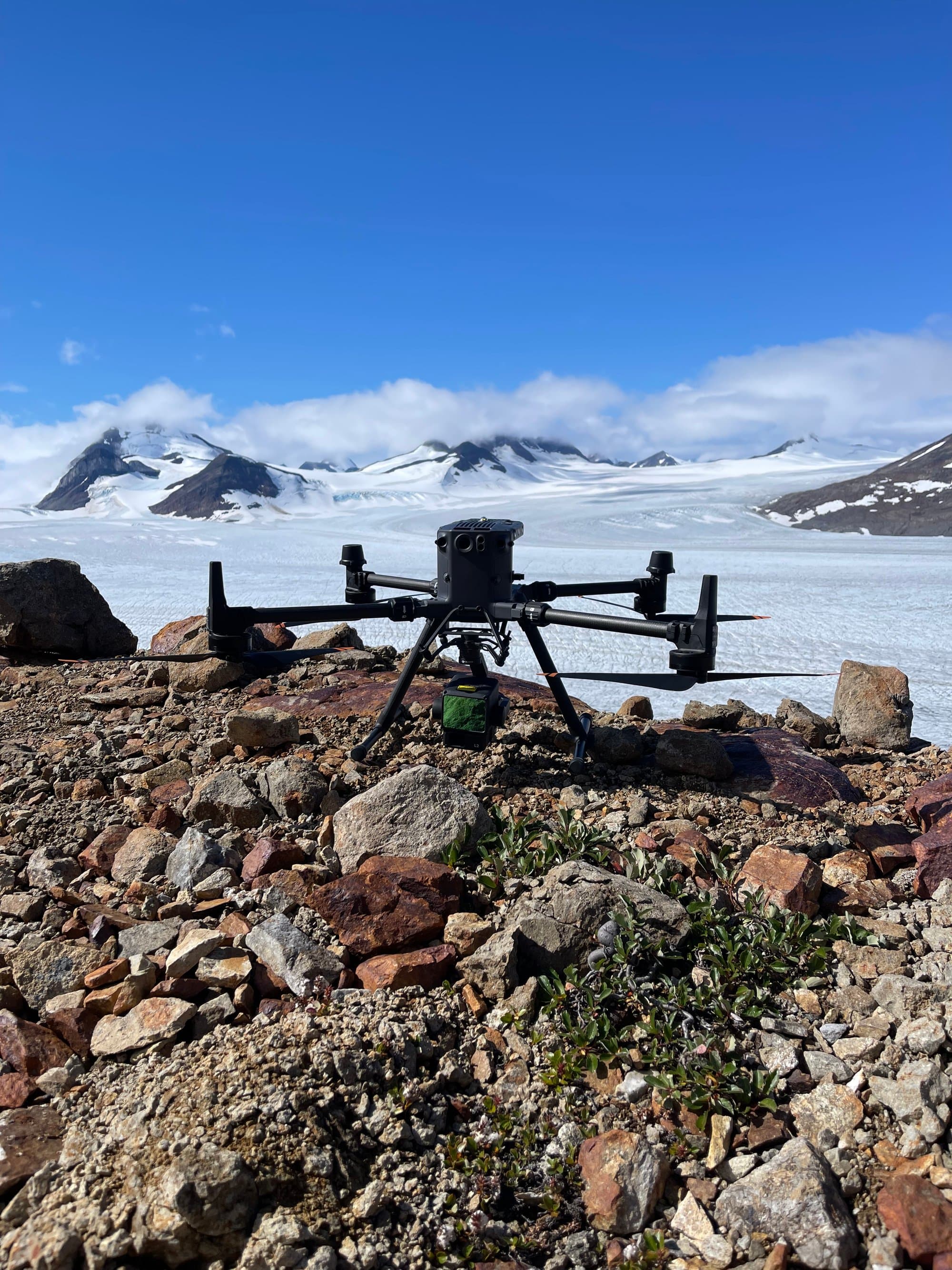
Drone Mapping & LiDAR
Drone LiDAR
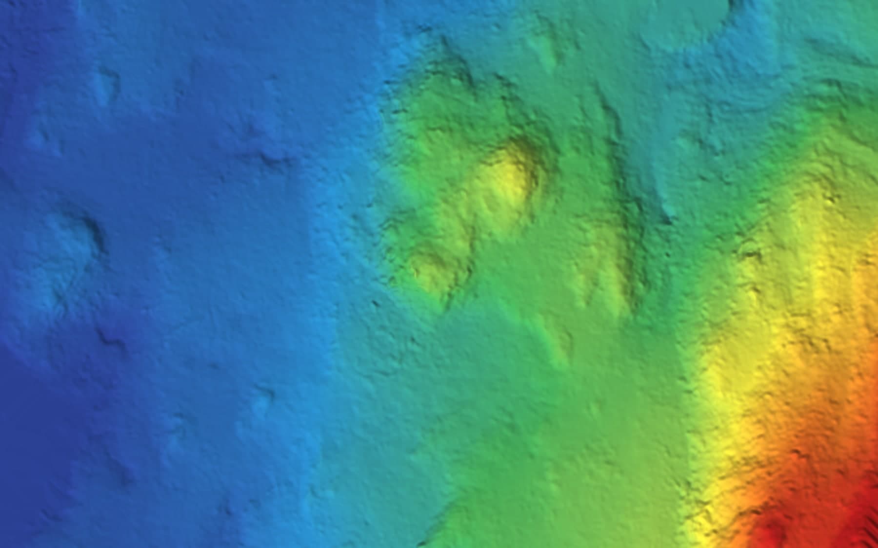
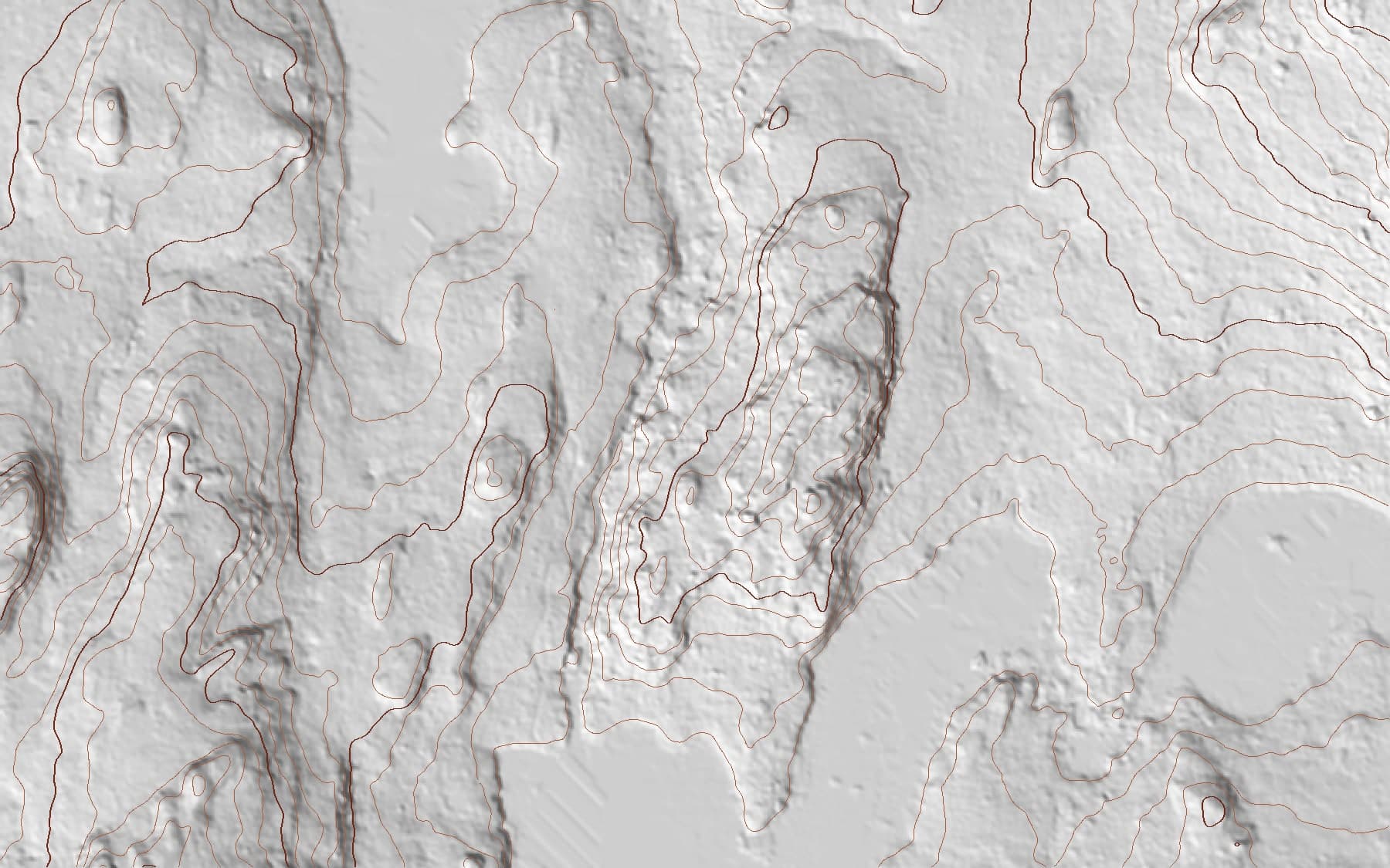
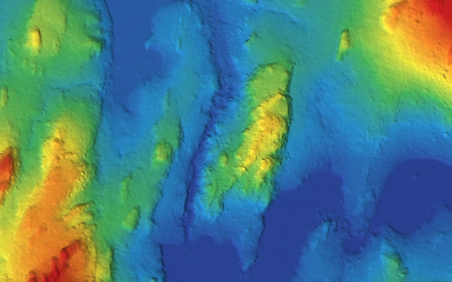
Aerial LiDAR that maps the ground even under trees — bare-earth terrain models for forested, remote and complex sites.
LiDAR pulses reach the ground between leaves and branches, which makes it the tool of choice for mapping forested and vegetated terrain where photogrammetry only sees canopy. The result: accurate bare-earth models of sites that would be slow, expensive or simply impractical to survey on foot.
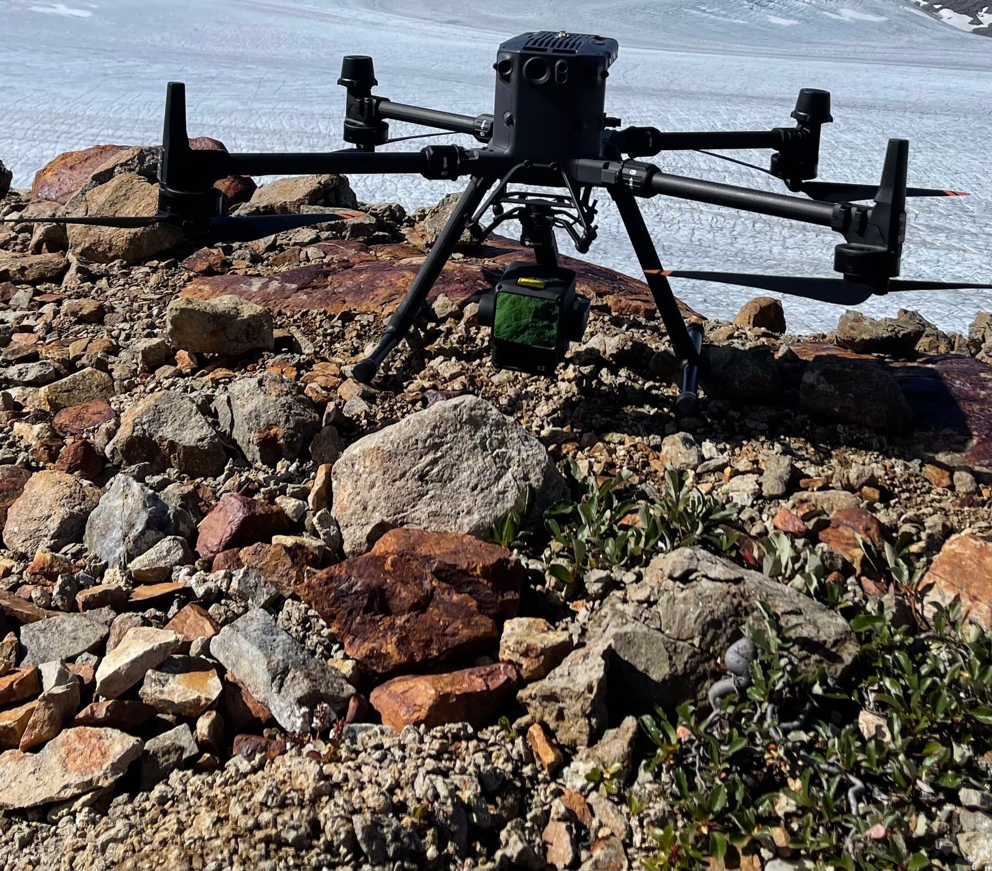
PCI Surveys flies DJI L2 LiDAR on Matrice aircraft, and processes classified point clouds into terrain models, contours and design-ready surfaces. We map forested development land, mining and exploration sites, corridors and remote northern terrain across BC, Alberta and the Yukon.
What PCI Performs
- Aerial LiDAR acquisition
- Bare-earth and terrain extraction under vegetation
- Classified point cloud production
- DTM/DEM and contour generation
- Corridor and linear-infrastructure mapping
- Mining, exploration and reclamation site mapping
- Combined LiDAR + photogrammetry missions
When You Need It
- Mapping treed or vegetated sites
- Terrain data for remote or hard-to-access areas
- Large-area topographic base mapping
- Pre-development and exploration site assessment
Who Uses It
- Engineering and environmental firms
- Mining and exploration companies
- Forestry and land developers
- Governments and First Nations organizations
Deliverables
- Classified point clouds (LAS/LAZ)
- Bare-earth DTMs and DEMs
- Contours and surfaces (Civil 3D compatible)
- Orthophotos when flown with imagery
- Cross-sections and profiles
Interactive Demo
Fly a real PCI point cloud →
2.6 million measured ground points from an actual drone LiDAR survey — orbit, zoom and see exactly what we deliver.
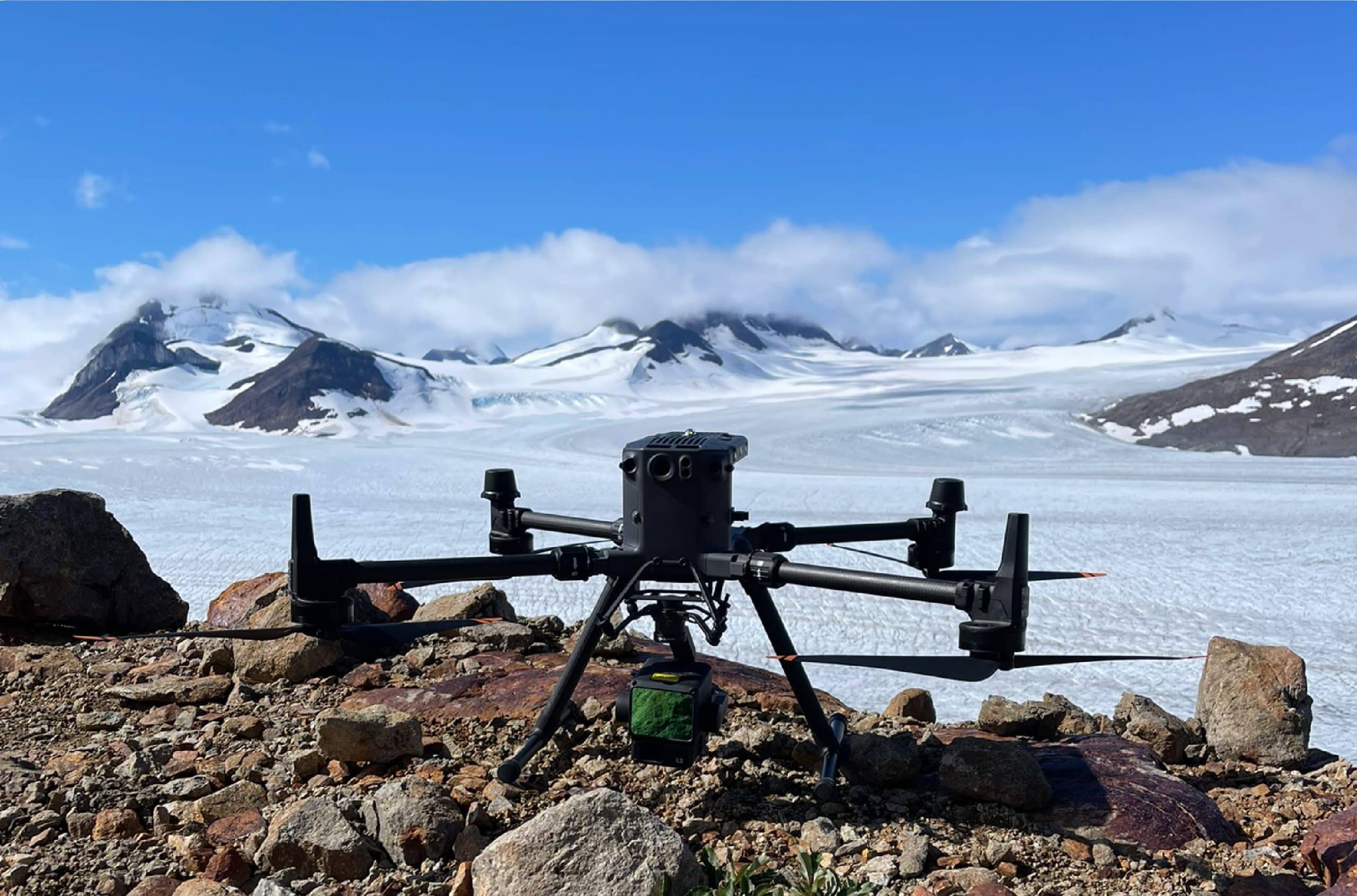
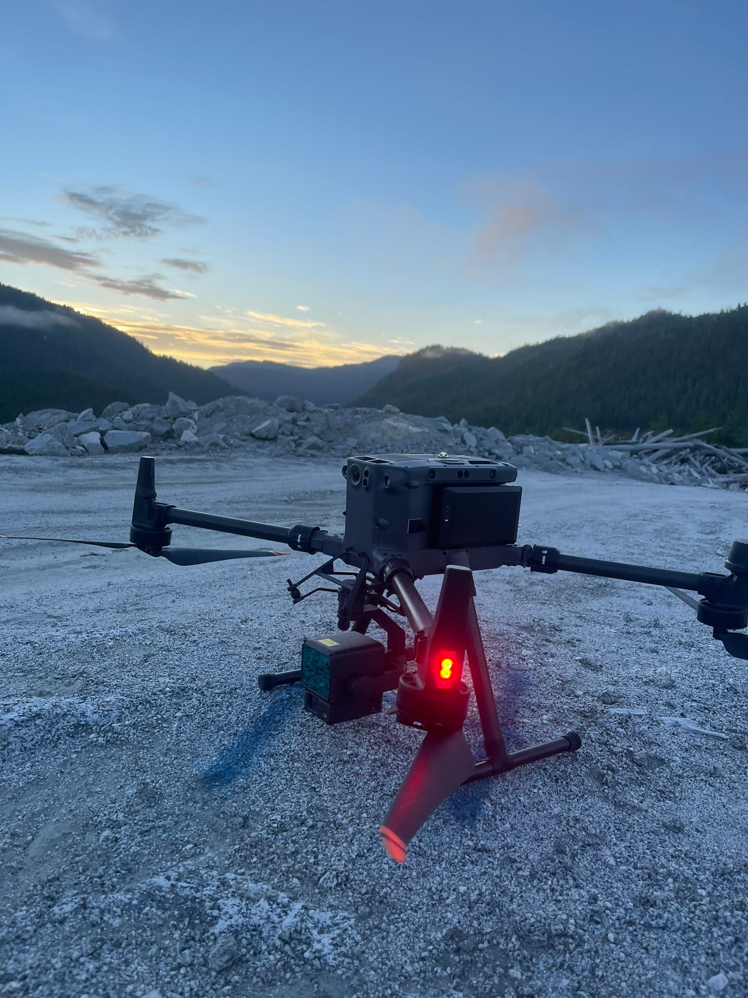
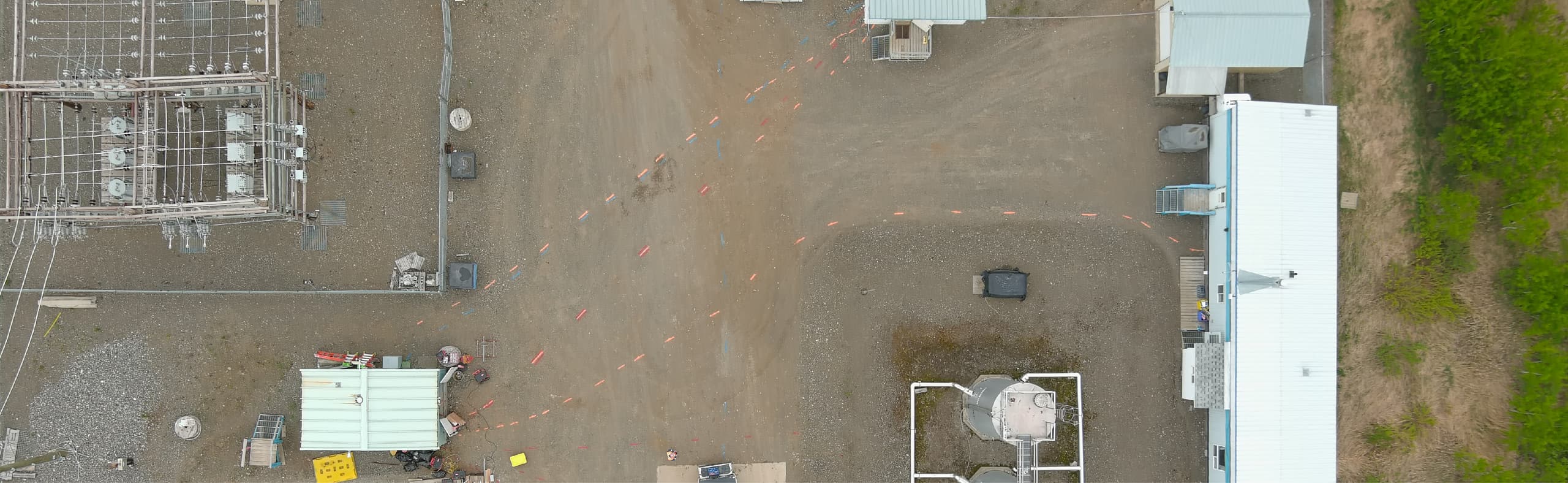
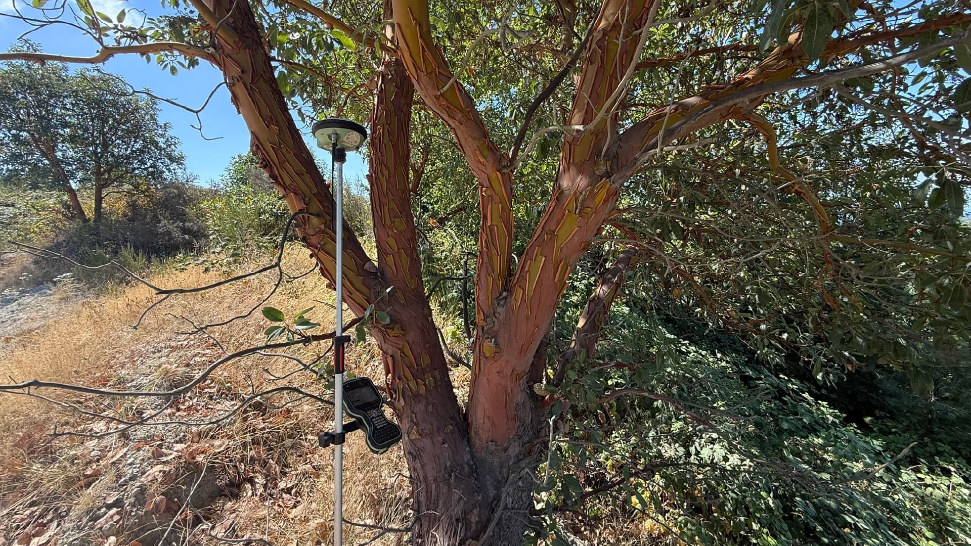
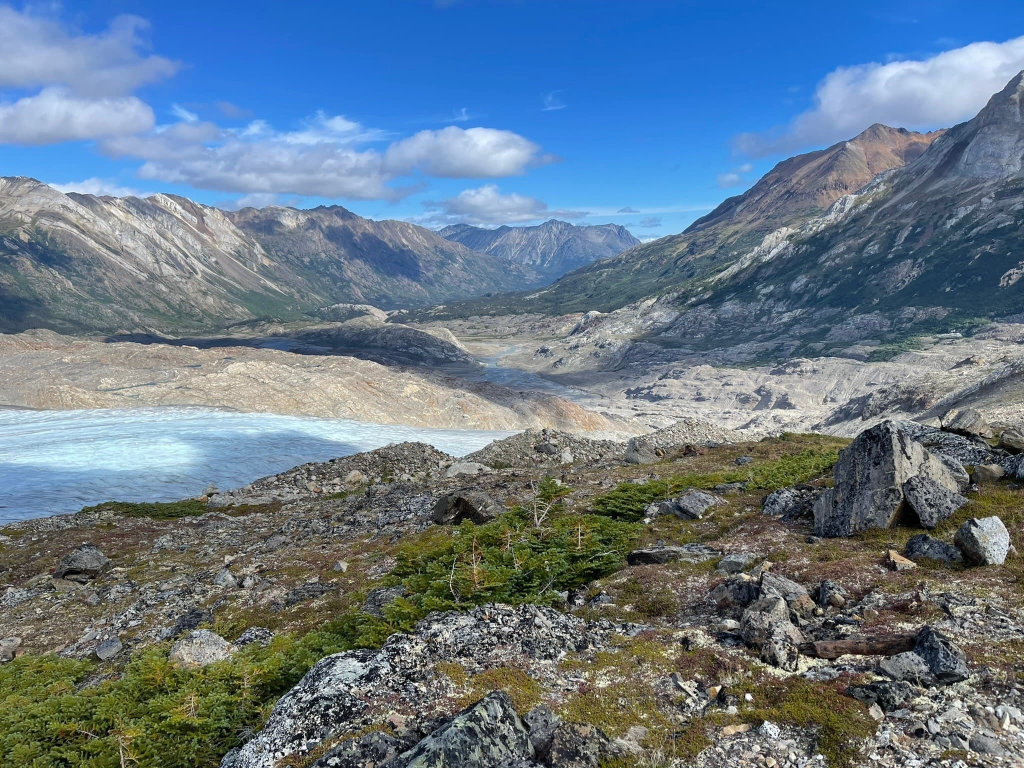
PCI In The Field
Real crews. Real sites.
Common Questions
Drone LiDAR FAQs
What's the difference between drone LiDAR and photogrammetry?
LiDAR measures the ground directly with laser pulses; photogrammetry reconstructs it from overlapping photos. We fly both and match the sensor to your site and deliverable.
Can drone LiDAR see through trees?
LiDAR pulses pass through gaps in the canopy and return from the ground beneath, producing bare-earth terrain models of vegetated sites that photo-based mapping can't match.
What deliverables come from a LiDAR flight?
Classified point clouds, bare-earth terrain models, contours, cross-sections and design-ready surfaces that drop straight into Civil 3D and similar packages.
How large an area can you cover?
From a single development site to long corridors and large rural parcels — a LiDAR flight captures in hours what ground crews would need days to walk.
Related Services
Often Booked Together
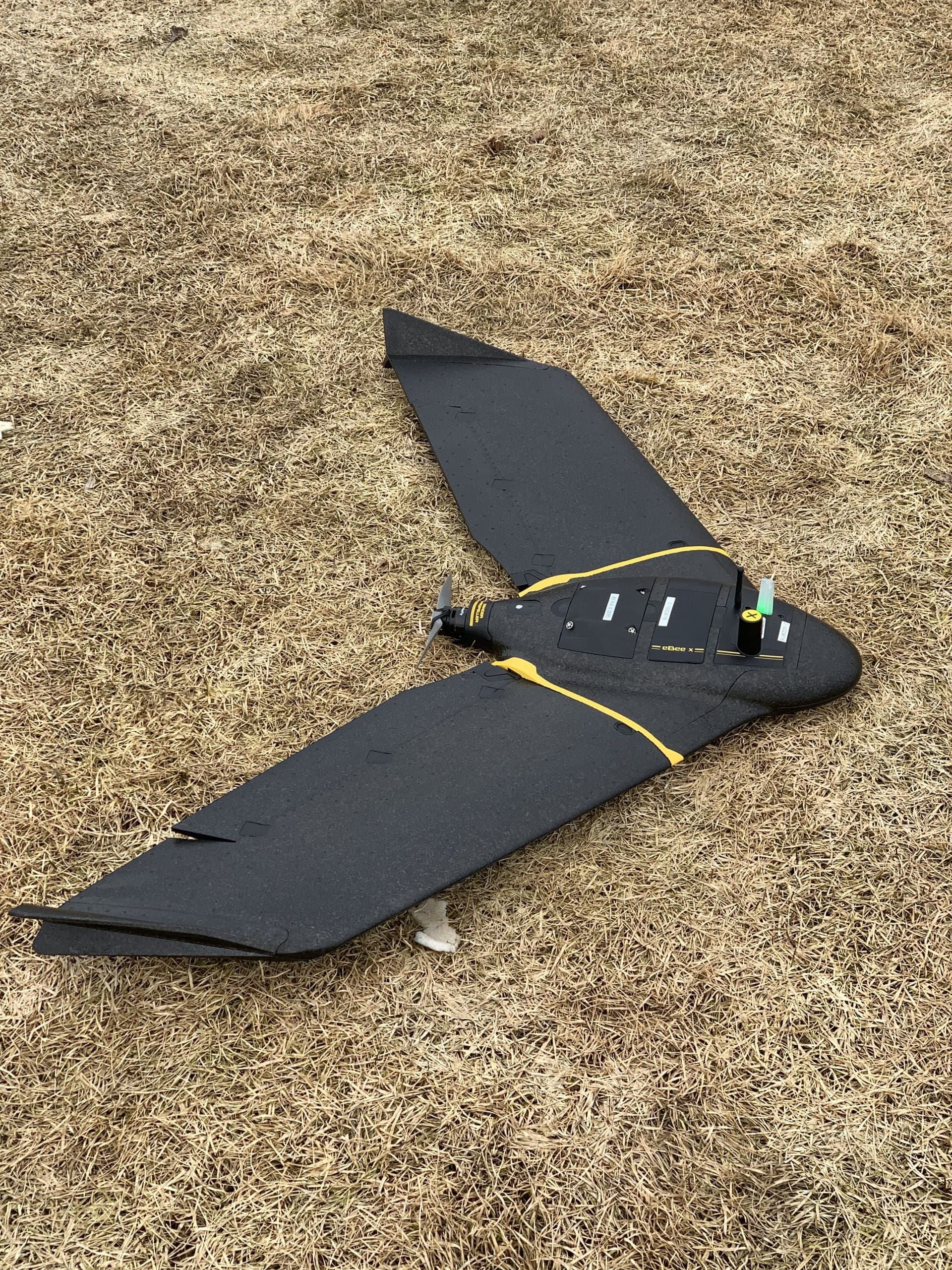
Drone Mapping & Photogrammetry
Survey-grade aerial mapping: orthophotos, surfaces, contours and volumes captured in a fraction of the time ground crews need.
Learn More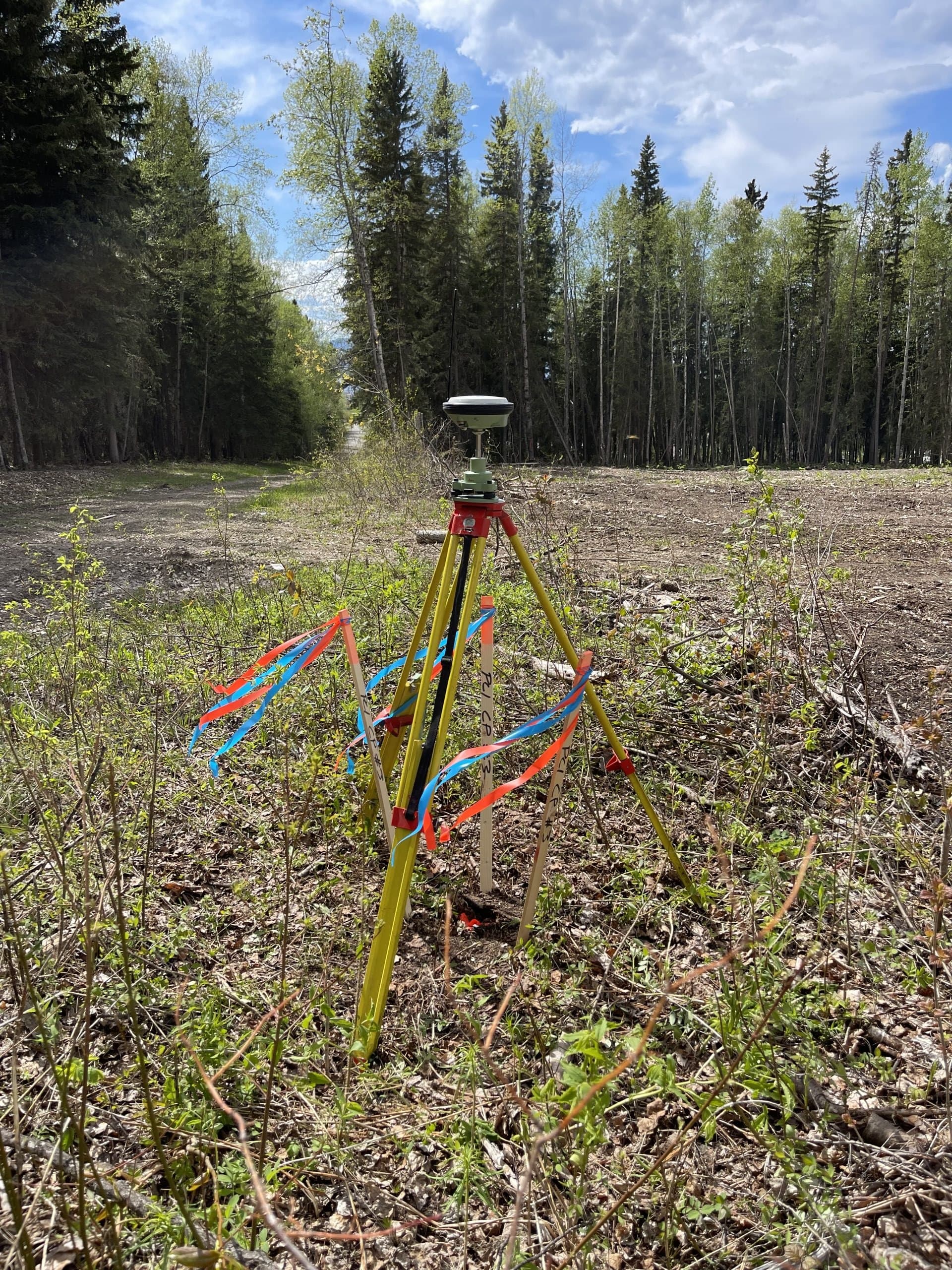
Topographic Surveys
Existing-condition and site surveys that give engineers and planners the accurate ground picture design starts from.
Learn More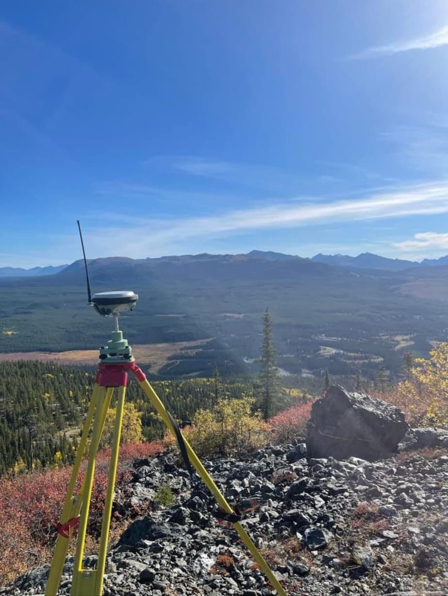
Mining Surveying
Survey support for mines and exploration projects — control, volumes, LiDAR topography, stakeouts and reclamation documentation in demanding terrain.
Learn MoreNeed drone lidar?
Send drawings, site plans or a short description. We'll review and respond with a clear scope and quote.
Prefer to talk? 6 a.m. – 7 p.m., 7 days a week.
- Prince George(778) 764-1626
- Edmonton(587) 400-1260
- Vancouver(604) 800-8708
- Whitehorse(867) 322-3453