Industries We Serve
Every industry that touches the ground
From national contractors to homeowners — if your work builds on, digs into or maps the ground in BC, Alberta or the Yukon, PCI has a service for it.
Who We Support
Matched to how you work
Each industry gets different deliverables, timelines and communication. Here's how PCI fits yours.
General Contractors & Construction Managers
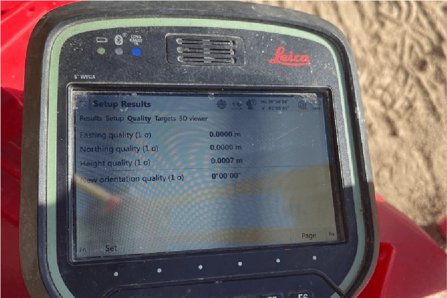
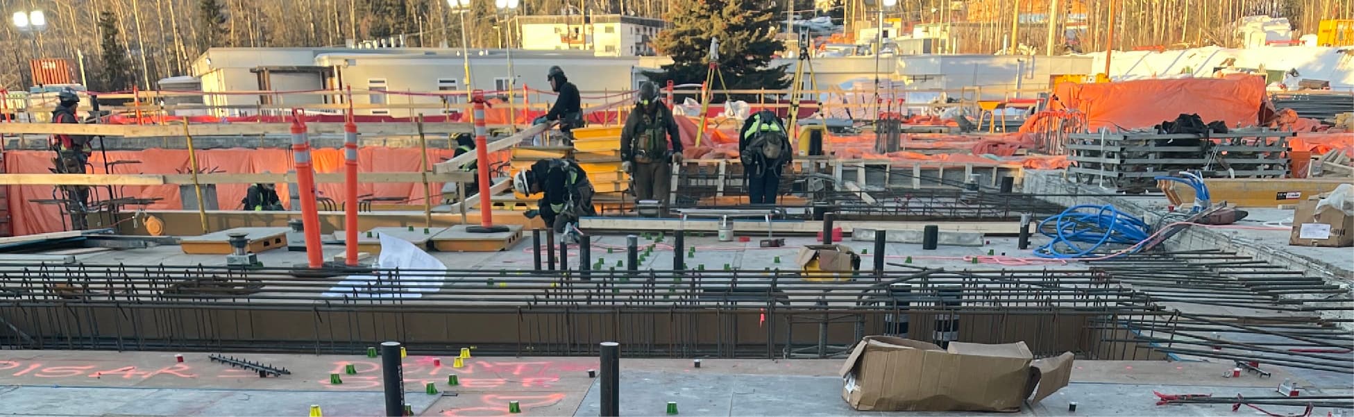
Layout, gridlines, control, grade checks and as-builts that keep every trade building in the right place. Fast re-staking when designs change, clear records at closeout.
Construction Surveying →Layout & Staking →As-Built Surveys →
Civil & Earthworks Contractors
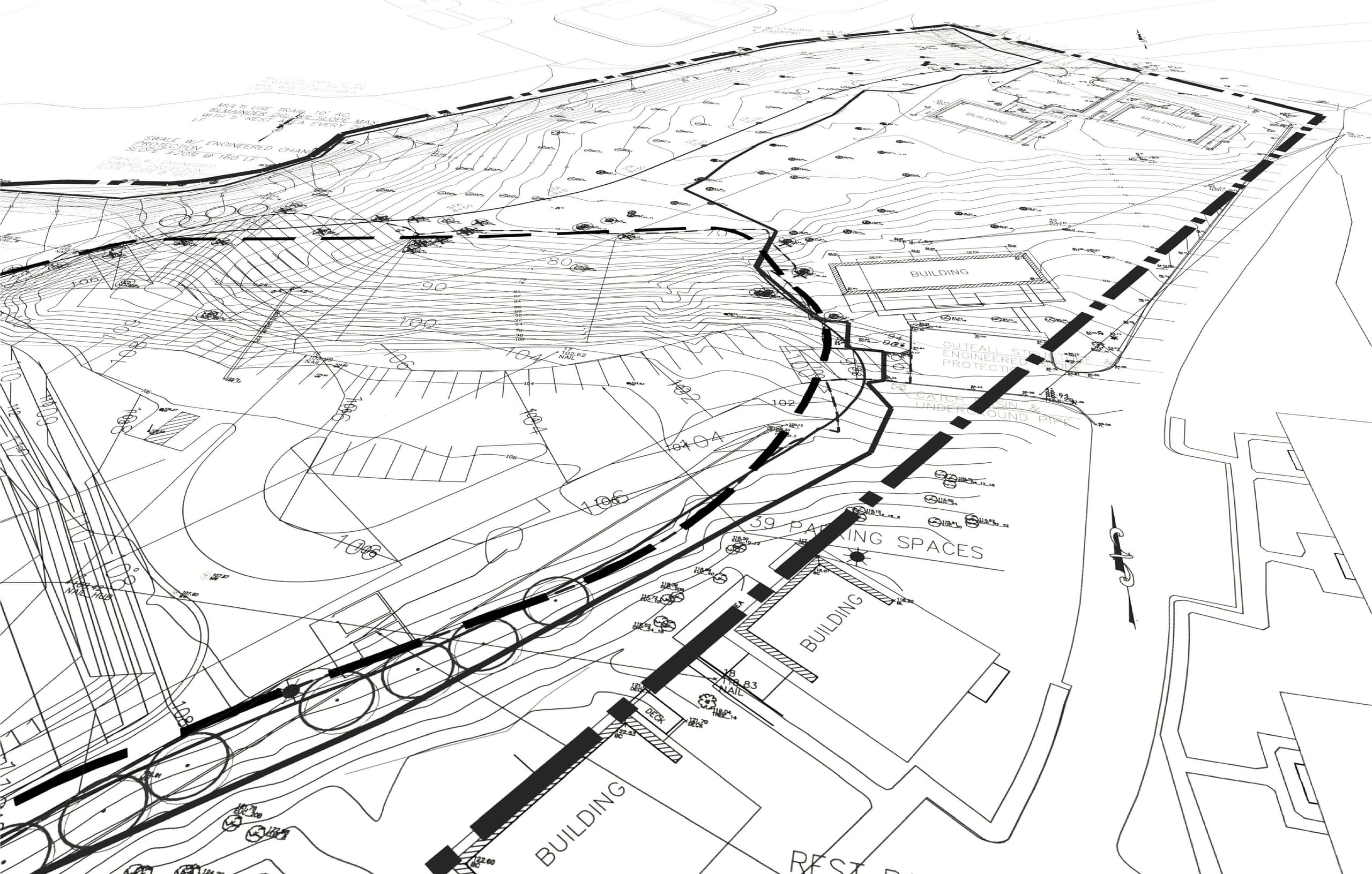
Road, utility and earthworks layout to line and grade, monthly progress volumes for payment, and pre-backfill as-builts that keep municipalities satisfied.
Engineering Firms
Topographic base plans, existing-condition surveys, monitoring and record surveys delivered in Civil 3D-ready formats — plus drone and LiDAR data collection for design.
Mining & Exploration Companies
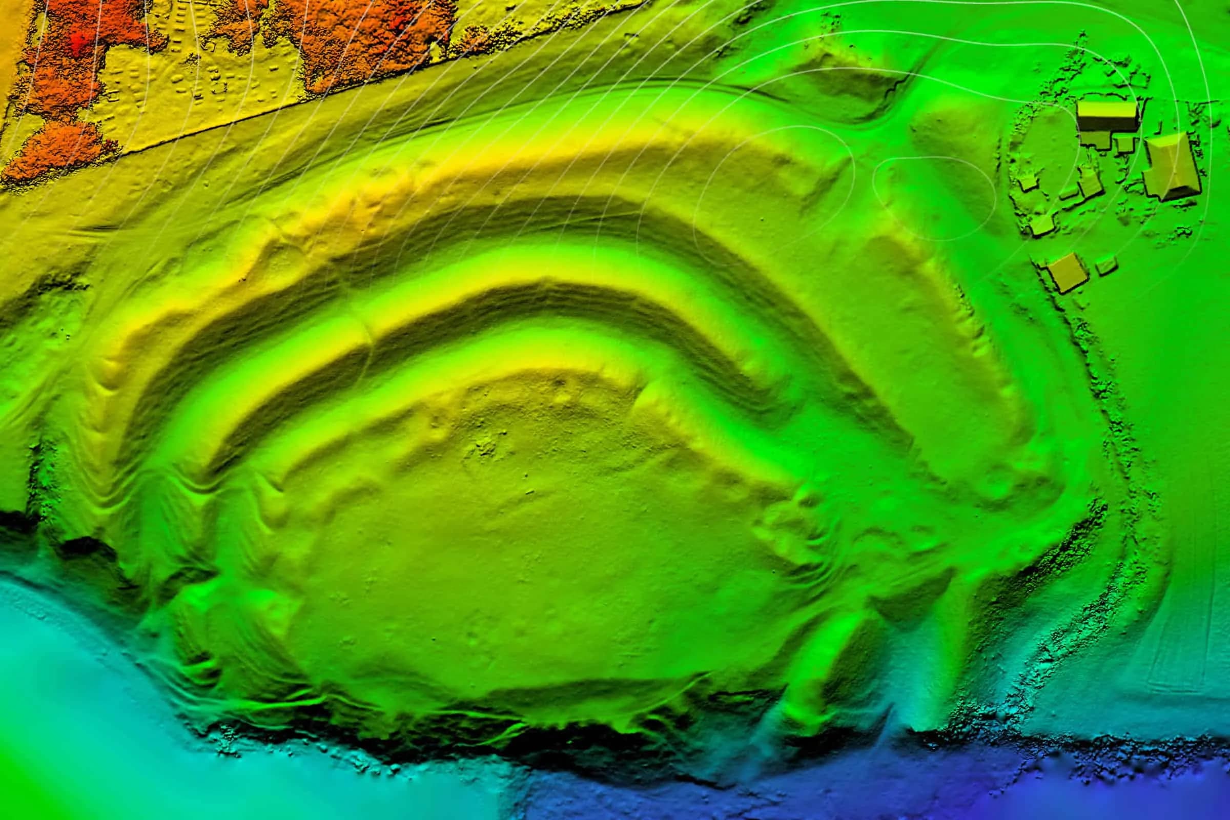
Site control, blast and drill stakeouts, production volumes, LiDAR topography and reclamation documentation — with crews ready for remote and fly-in sites.
Municipalities & Utilities
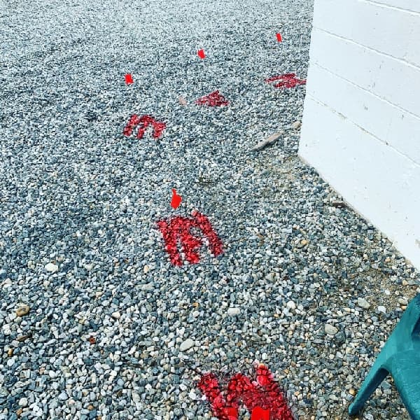
Infrastructure layout, record surveys, utility investigations and mapping that support public works, asset management and capital projects.

Utility & Excavation Contractors
Private locates beyond the one-call demarcation point, GPR clearance of dig areas, and ground disturbance support with documentation for permit files.
Utility Locating →Ground Disturbance →Sewer Camera & Sonde →
Environmental Consultants
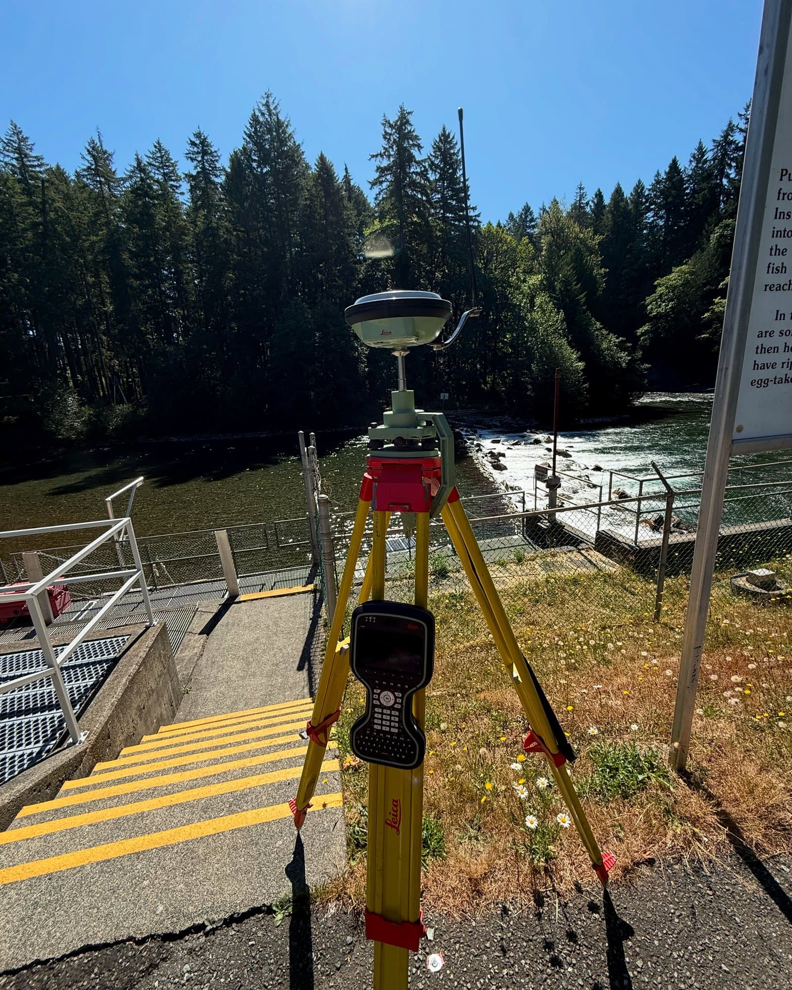
Locates before Phase II drilling programs, borehole and monitoring-well surveys, terrain mapping for assessments and reclamation documentation.
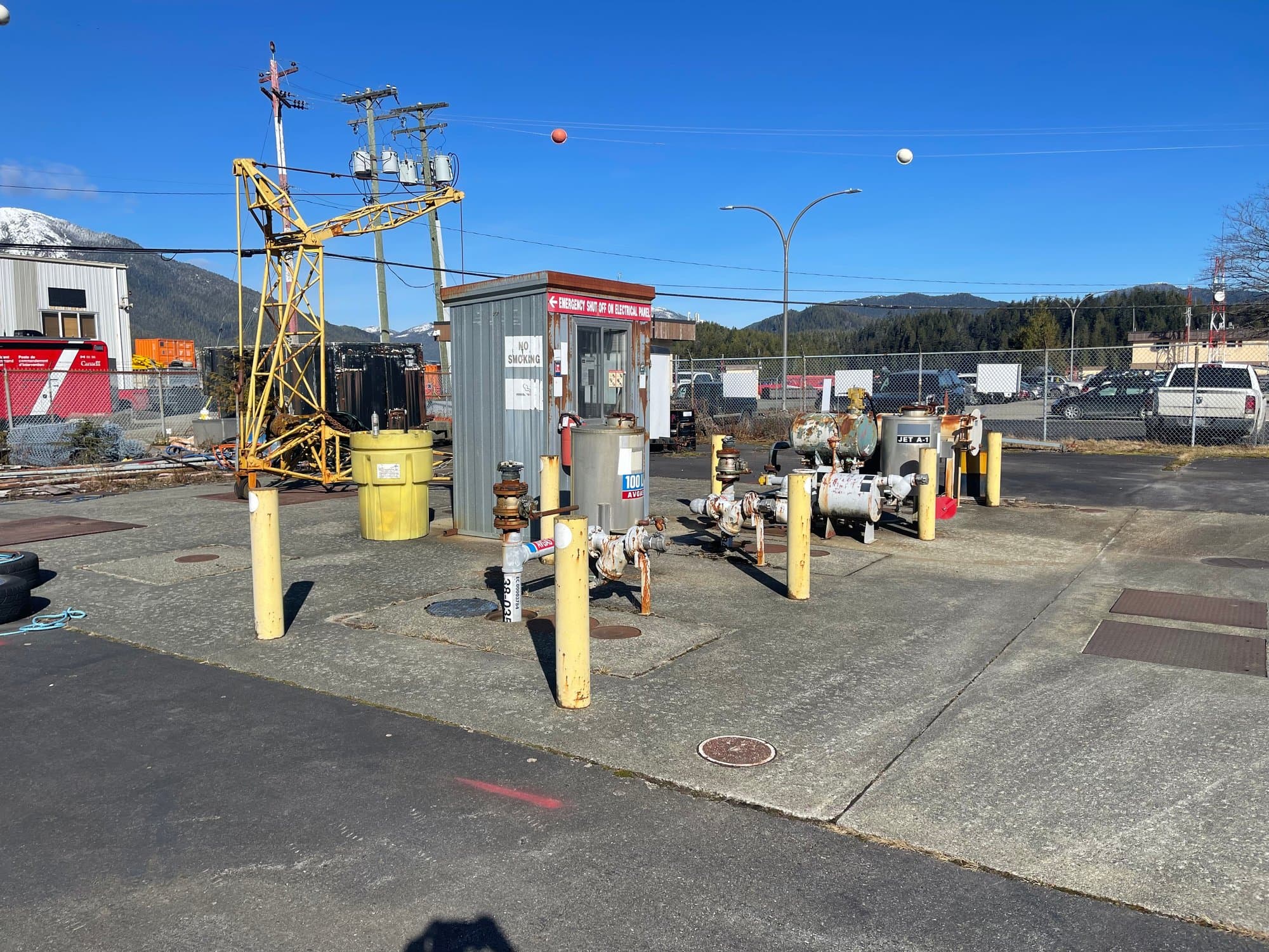
Industrial Facilities & Energy
Facility as-builts, pile and pipeline stakeouts, congested-site utility investigations and ground disturbance packages aligned with your permit systems.
Ground Disturbance →Construction Surveying →Concrete Scanning →
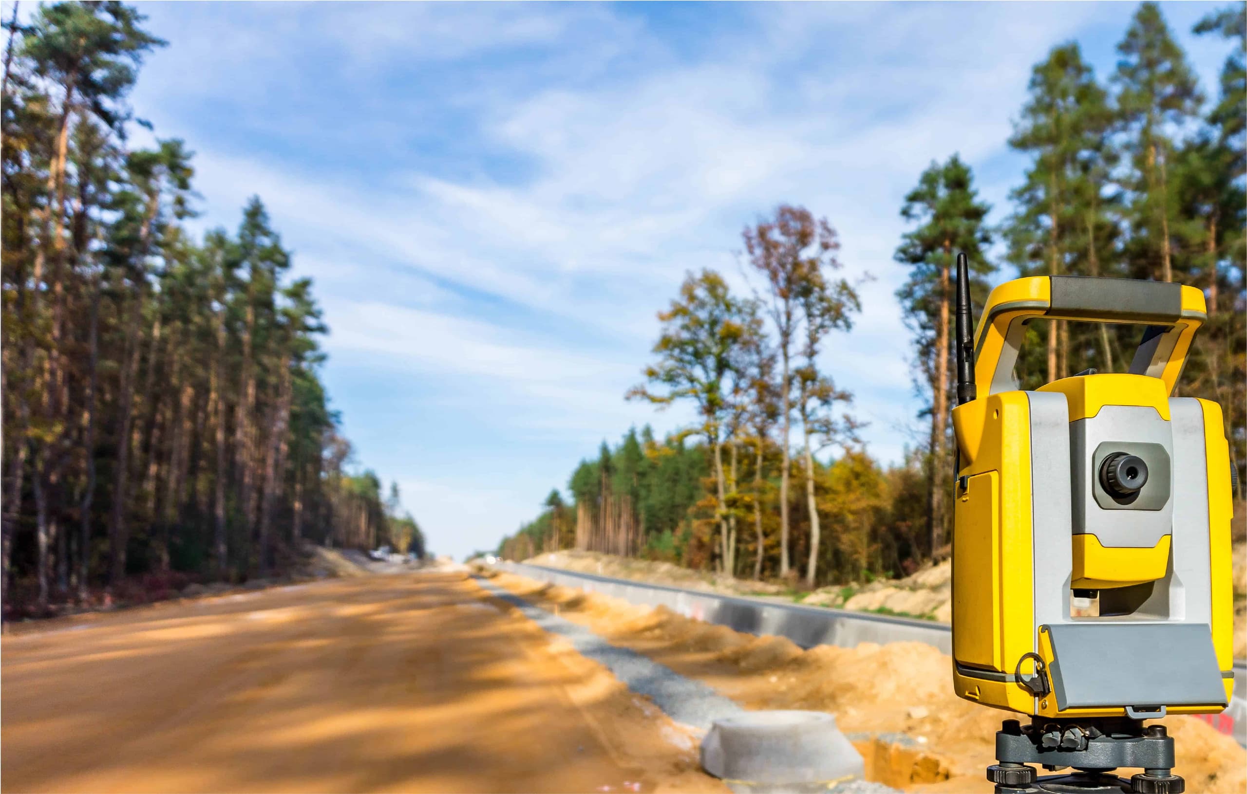
Developers & Property Managers
Site surveys for planning and due diligence, utility mapping of existing properties, and survey support from first concept through construction.
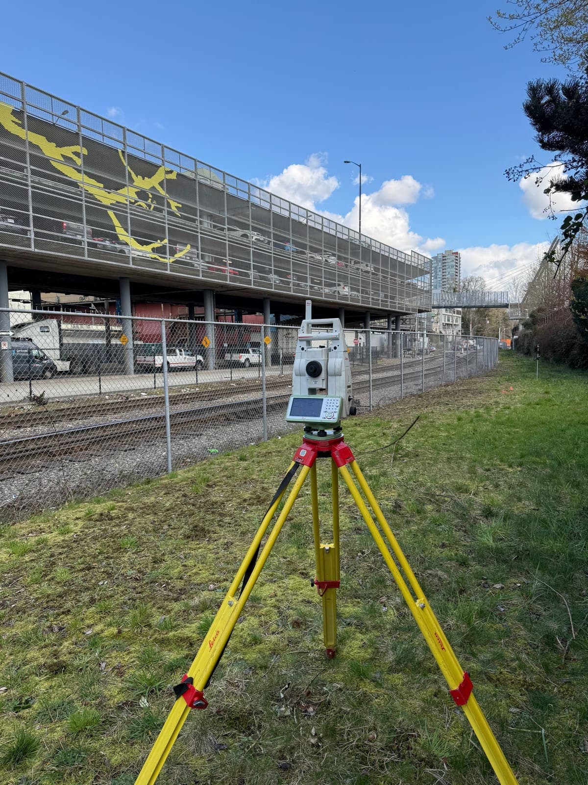
Rail & Transit
Corridor and crossing surveys, guideway and track infrastructure layout, and utility investigations inside active rail corridors — planned around rail safety protocols.
Construction Surveying →Topographic Surveys →Utility Locating →
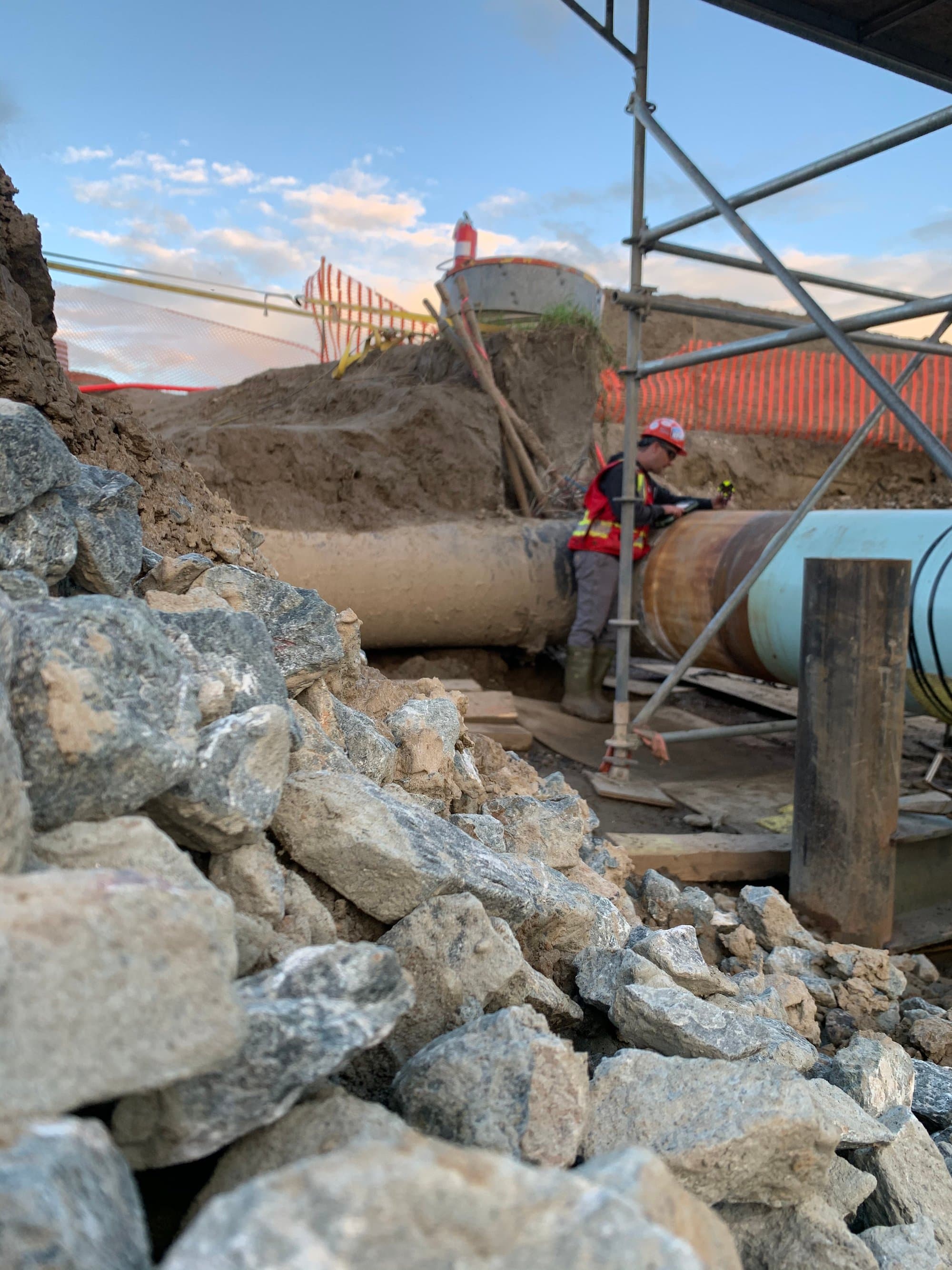
Oil, Gas & Pipelines
Pipeline construction surveys, right-of-way locates and sweeps, wellsite and facility surveys, and ground disturbance packages built for energy-sector permit systems.
Homeowners
Private utility locates before fencing, landscaping, additions or any digging on your property — the lines BC 1 Call and Utility Safety Partners don't mark.
Ready to get started?
Describe your project and watch your price appear. Most jobs can be quoted, booked and paid online in minutes, any hour, any day.
Prefer to talk? 6 a.m. – 7 p.m., 7 days a week.
- Prince George(778) 764-1626
- Edmonton(587) 400-1260
- Vancouver(604) 800-8708
- Whitehorse(867) 322-3453