Construction Surveying in Prince George
Construction layout, site control, grades, as-builts and survey support for projects in Prince George and Northern BC.
Construction Surveying in Prince George & Northern BC
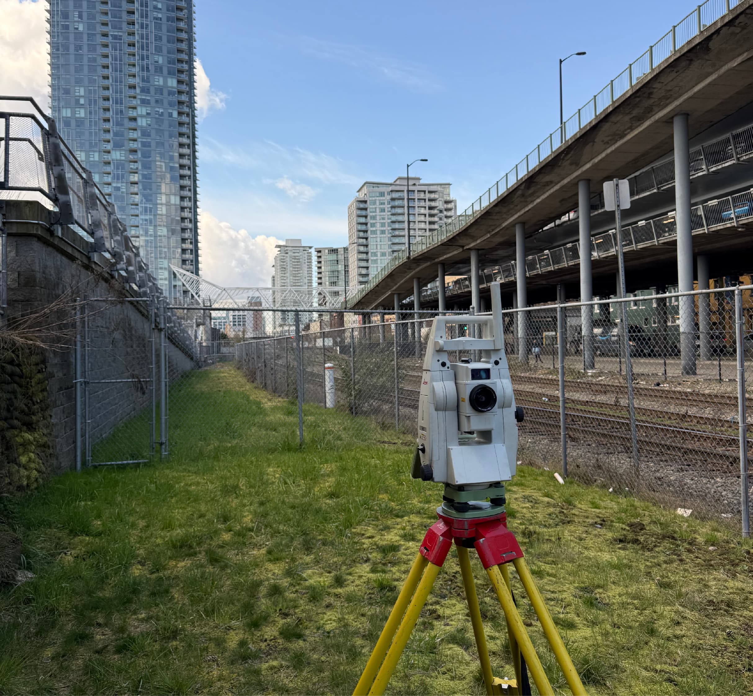
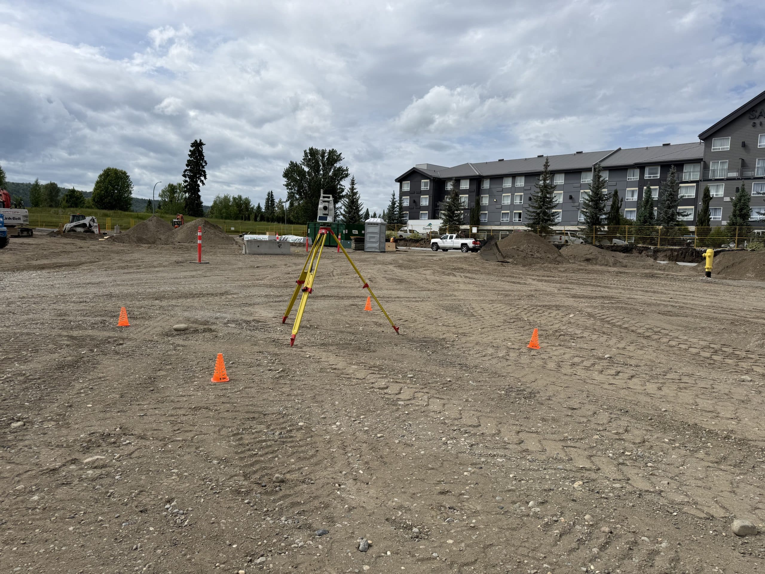
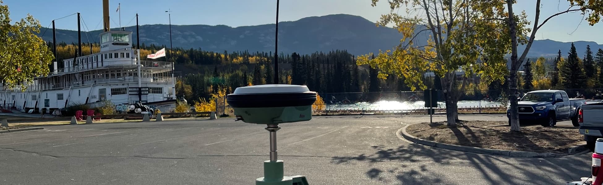
PCI Surveys provides construction surveying support in Prince George and across Northern BC for contractors, builders, engineers, industrial sites, mining projects, infrastructure work and project managers who need accurate field layout, site measurements, grades, as-builts and survey deliverables during construction.
Our construction survey work supports projects from early site setup through layout, progress checks, quantities, as-built measurements and project closeout. We help construction teams work from accurate field data so layout, grading, excavation, foundations, utilities and site features can be built in the right location and at the right elevation.
Construction Survey Services
PCI Surveys provides practical construction survey support based on the needs of the project, available design information and site conditions.
- Construction layout
- Site control and survey control setup
- Grade staking and elevation checks
- Foundation layout
- Gridline layout
- Anchor bolt layout support
- Utility and site servicing layout support
- Road, civil and infrastructure layout support
- Topographic pickup and existing condition surveys
- As-built measurements
- Quantity and volume survey support
- Drone mapping and LiDAR support where required
Layout, Control and Grade Support
Accurate layout and control are important for keeping a construction project moving. PCI Surveys can help establish site control, transfer design information into the field, provide layout points and support grade checks for excavation, concrete, structures, utilities, drainage and site development work.
Construction survey support may include layout for foundations, gridlines, anchor bolts, building corners, offsets, curb, drainage, utilities, roads, pads, slopes, surfaces and other project features depending on the drawings and scope of work.
As-Built Surveys and Project Measurement
PCI Surveys provides as-built survey support for construction teams that need to document what was built, verify elevations, confirm locations or provide measured field data for engineers, contractors, owners or project records.
As-built measurements can support project closeout, quality control, progress tracking, design updates, utility records, surface models, quantities and construction documentation.
Construction Surveying for Industrial and Resource Projects
Prince George and Northern BC projects often include industrial sites, resource projects, mining support, reclamation work, access roads, yards, laydown areas, drainage work, civil construction and remote project sites. PCI Surveys supports these projects with survey data, layout, mapping, quantities and field measurements that can be used by contractors and project teams.
For larger or remote sites, construction surveying may be combined with drone LiDAR, UAV mapping, topographic survey data, private line locating or GPR scanning to provide a more complete understanding of the project area.
Survey Support Before and During Construction
Construction surveying can be useful before work begins, during active construction and after work is complete. PCI Surveys can support early site planning, existing condition checks, layout, grade confirmation, progress measurements and final as-built documentation.
Common construction survey uses include:
- Confirming existing site conditions before construction
- Establishing site control for contractors
- Staking proposed features from design drawings
- Checking grades and elevations during construction
- Supporting excavation, backfill and grading work
- Measuring quantities and surface changes
- Documenting completed work with as-built data
- Supporting design changes with updated field measurements
Private Locating, GPR and Survey Support
Many construction projects also need underground utility information before excavation or site work begins. PCI Surveys can support construction teams with private line locating, GPR scanning and survey measurements when underground utilities, unknown services or existing site conditions need to be investigated.
Learn more about private line locating in Prince George
Learn more about GPR scanning in Prince George
Areas Served
PCI Surveys provides construction surveying in Prince George and surrounding Northern BC areas depending on project scope, schedule and mobilization requirements.
- Prince George
- College Heights
- Hart Highlands
- Blackburn
- Beaverley
- Shelley
- Salmon Valley
- Hixon
- Vanderhoof
- Quesnel
- Mackenzie
- Fort St. James
- Fraser Lake
- Burns Lake
- Houston
- Smithers
- Terrace
- Kitimat
- Northern BC project sites
Related Prince George Services
- Prince George Service Area
- Private Line Locating in Prince George
- GPR Scanning in Prince George
- Drone LiDAR Surveying in Northern BC
- Topographic and As-Built Surveys in Prince George
- Mining and Reclamation Surveying in Northern BC
Why Choose PCI Surveys for Construction Surveying in Prince George?
- Construction layout, site control, grades, as-builts and survey support from one field provider
- Experience supporting contractors, engineers, industrial sites, mining projects and infrastructure work
- Ability to combine construction survey support with drone LiDAR, GPR and private line locating
- Practical field deliverables for layout, quantities, mapping, progress checks and project documentation
- Support for Prince George and regional Northern BC project sites
- Indigenous-owned and operated
Frequently Asked Questions
Do you provide construction surveying in Prince George?
Yes. PCI Surveys provides construction surveying in Prince George and surrounding Northern BC areas, including layout, control, grades, foundations, anchor bolts, topographic data, as-builts and project measurement.
Can you provide layout for foundations, grades and site features?
Yes. PCI Surveys can provide construction layout support for foundations, gridlines, grades, offsets, utilities, drainage, surfaces and other project features depending on the design information and project scope.
Do you provide as-built surveys?
Yes. PCI Surveys provides as-built survey support to document completed work, verify locations and elevations, support project records and provide measured field data for engineers, contractors or owners.
Can construction surveying be combined with drone LiDAR?
Yes. Drone LiDAR and UAV mapping can be combined with construction surveying for larger sites, surface data, volumes, corridors, access routes, mine sites, reclamation work and construction planning.
Do you provide legal boundary surveys?
No. PCI Surveys provides construction surveying, layout, mapping, topographic, as-built, private locating, GPR and drone LiDAR support. Legal boundary or cadastral survey work must be completed by a licensed land surveyor.
Request Construction Surveying in Prince George
If you need construction surveying, layout, site control, grades, as-builts, topographic survey support, drone LiDAR, GPR scanning or private line locating in Prince George or Northern BC, contact PCI Surveys with your project location, scope of work and schedule.
PCI Surveys - Prince George
1299 3rd Avenue
Prince George, BC
V2L 3E6
Telephone: (778) 764-1626
Email: bc@pcisurveys.ca