
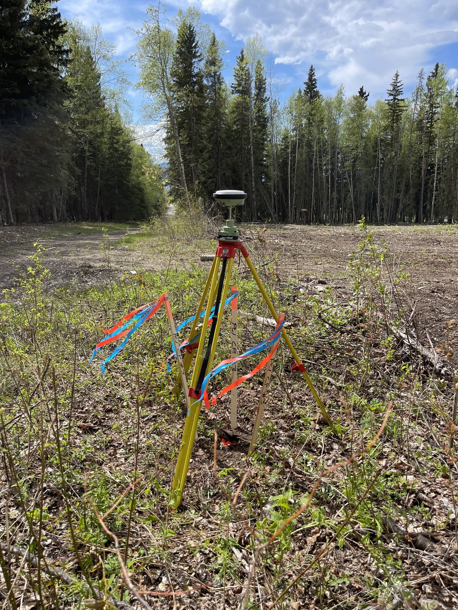
Construction Surveying
Topographic Surveys
Existing-condition and site surveys that give engineers and planners the accurate ground picture design starts from.
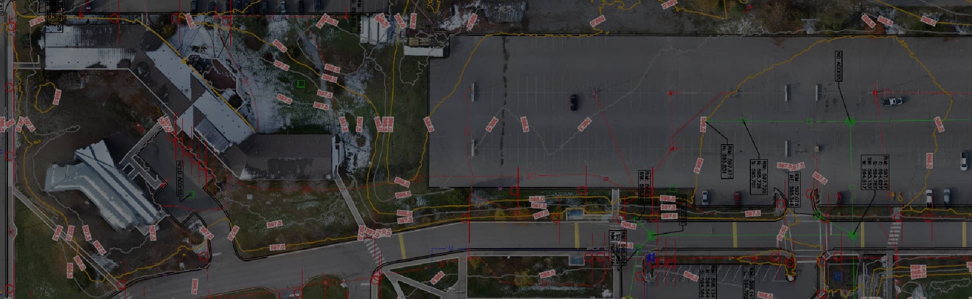
Every good design starts with knowing what is actually on the ground. PCI Surveys performs topographic and existing-condition surveys that capture surface elevations, site features, drainage patterns, utilities evidence, access and improvements — the base information engineering and planning teams need.
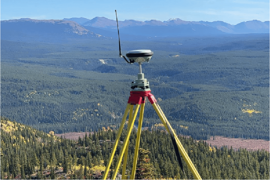
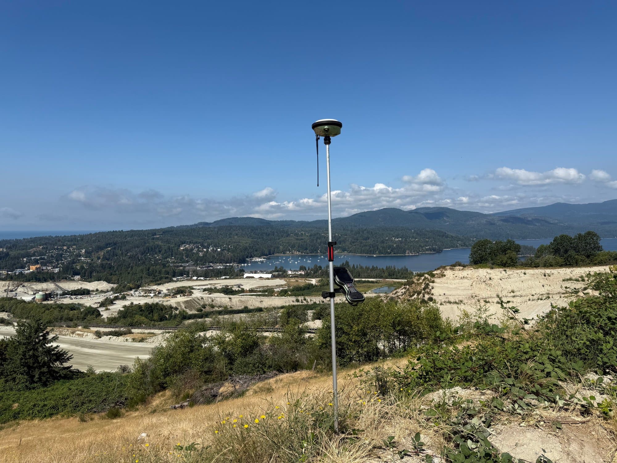
We combine total station and GNSS ground survey with drone photogrammetry and LiDAR where it adds value, so open areas, treed sites, and large or remote properties can all be surveyed efficiently across BC, Alberta and the Yukon.
What PCI Performs
- Topographic and existing-condition surveys
- Site feature and improvement pickup
- Ground surface and elevation data collection
- Contour generation and surface models
- Drainage and grade documentation
- Combined ground + drone survey coverage
- Deformation and monitoring surveys
When You Need It
- Before civil, structural or drainage design begins
- For development planning and due diligence
- For grading and earthworks design
- When engineering firms need existing-conditions base plans
- Before renovation or expansion of existing facilities
Who Uses It
- Civil and structural engineering firms
- Developers and property owners
- Municipalities and utilities
- Environmental consultants
- Architects and planners
Deliverables
- Topographic plans in CAD (Civil 3D compatible)
- Digital terrain models and surfaces
- Contours at your specified interval
- Point files (CSV) and PDF plots
- Orthophotos and point clouds when flown with drone
Interactive Demo
Measure a real orthophoto →
2 cm/px drone imagery from an actual PCI flight — pan, zoom and pull real dimensions straight off the photo.
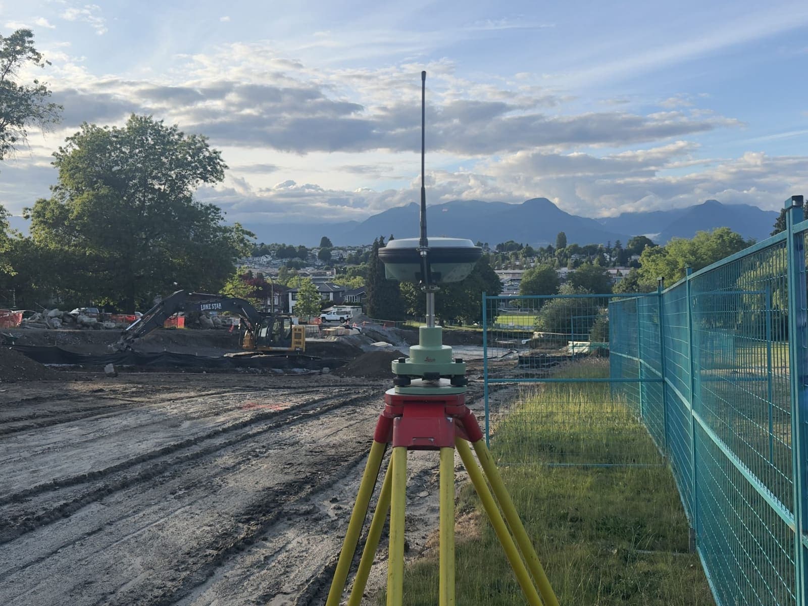
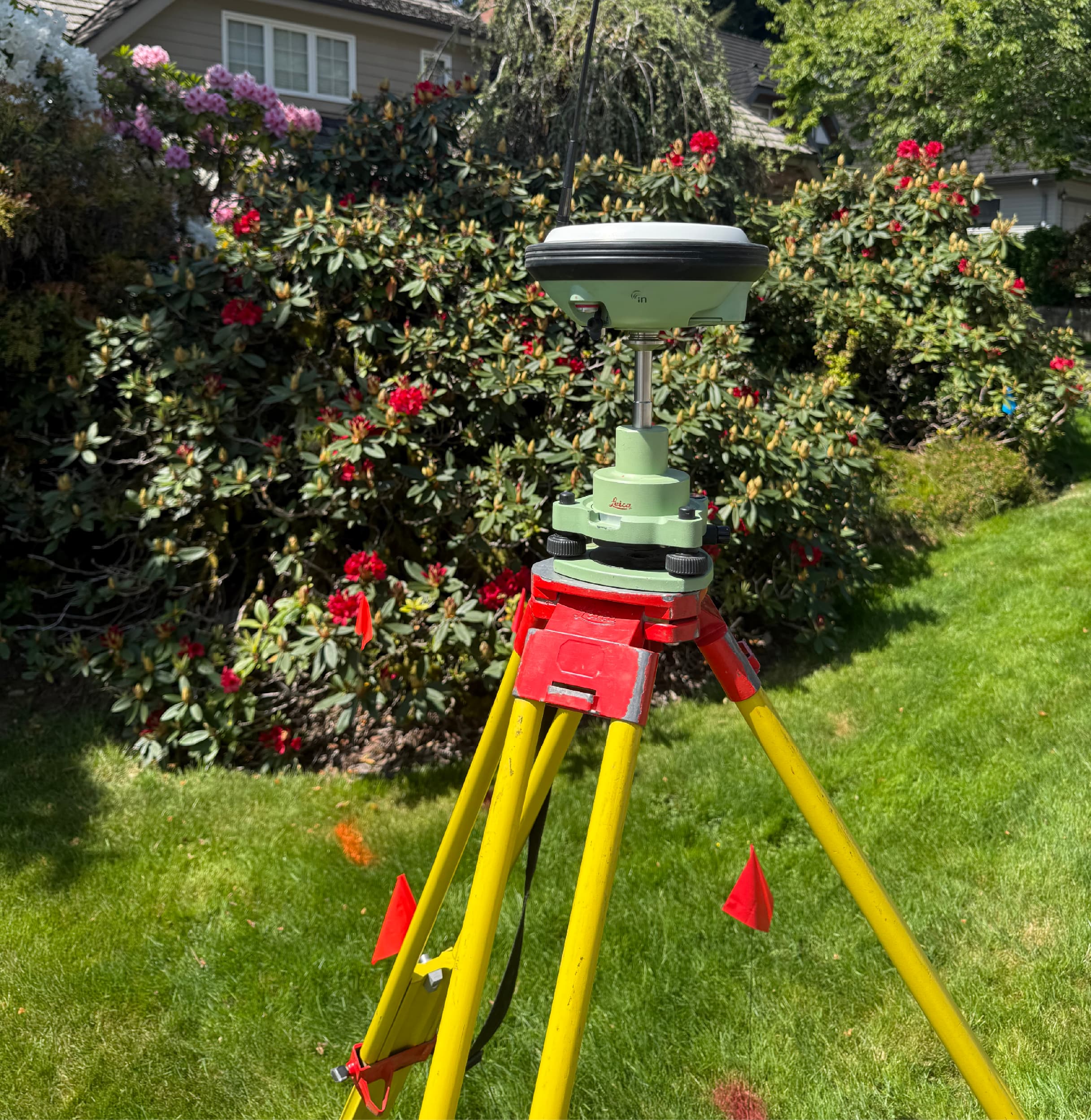
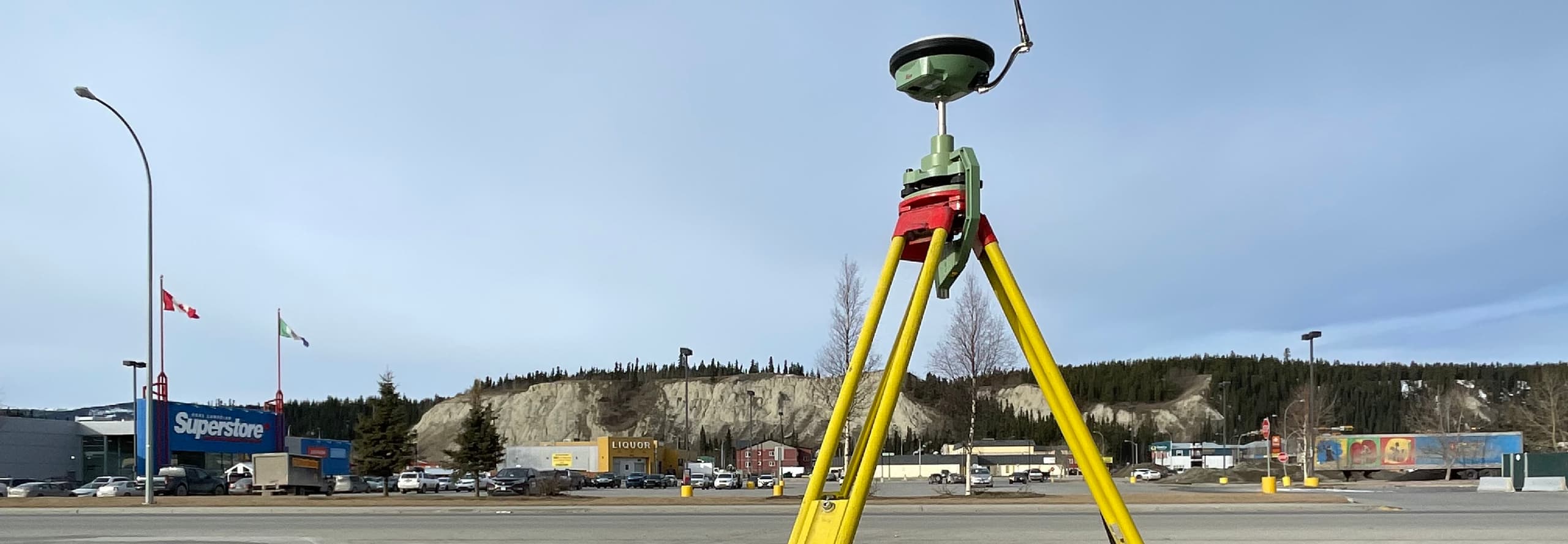
PCI In The Field
Real crews. Real sites.
Common Questions
Topographic Surveys FAQs
What is a topographic survey?
A detailed picture of a site as it exists today — ground elevations, surface features, trees, structures, utilities and drainage — the foundation your designers build on.
When do I need a topographic survey?
Before design begins. Site plans, grading and drainage design, building permits and earthworks estimates all start from accurate existing-conditions data.
What deliverables do we receive?
CAD drawings, surfaces and contours ready to drop straight into Civil 3D or your design package of choice, mapped to the datum and format your project needs.
How is the data collected?
Total station, GNSS and drone — matched to the site. Open ground flies fast by drone; tight or treed areas are picked up on the ground.
Related Services
Often Booked Together
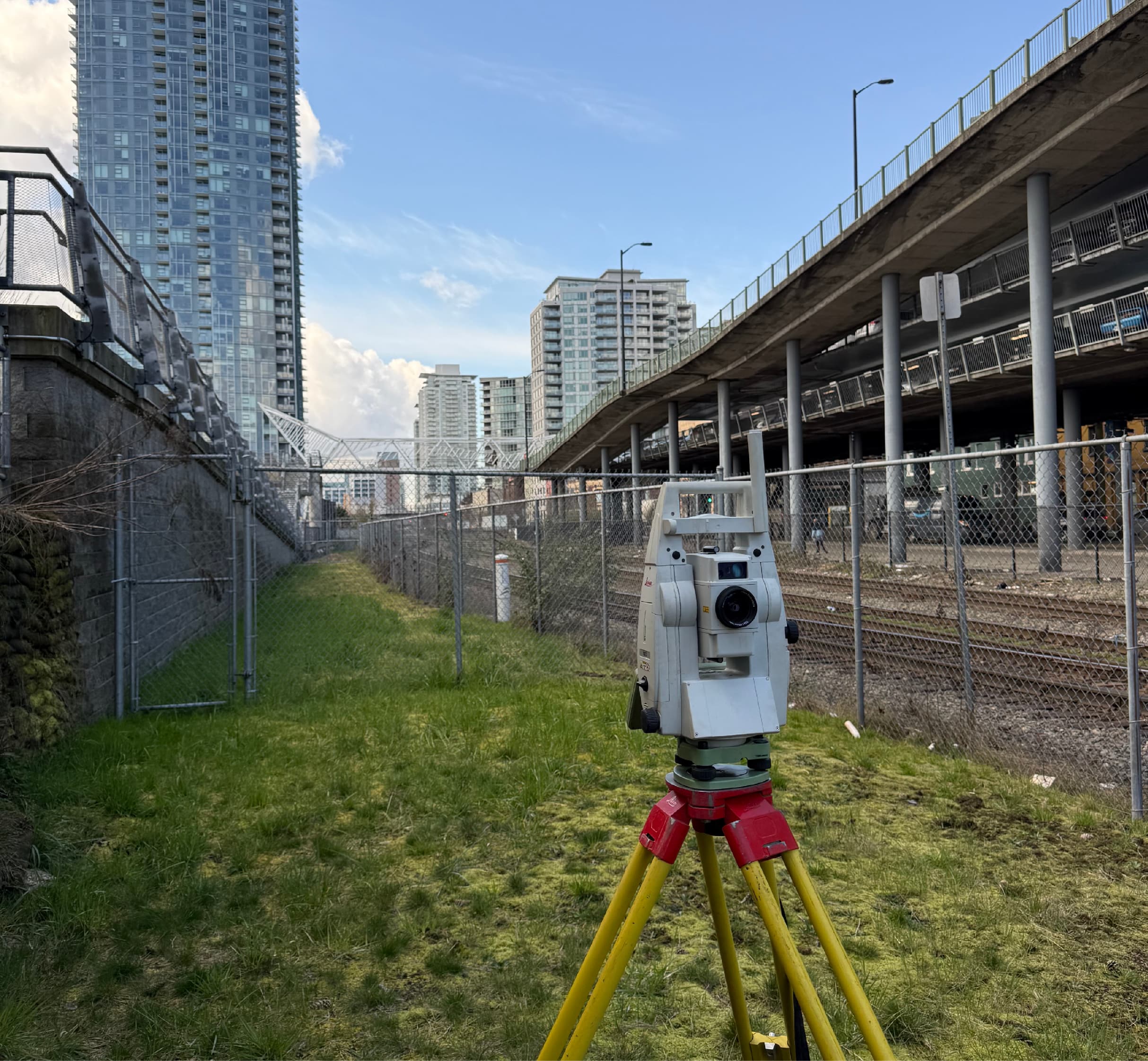
Construction Surveying
Layout, control, grades and as-builts for buildings, civil works and infrastructure — accurate field positioning that keeps construction moving.
Learn More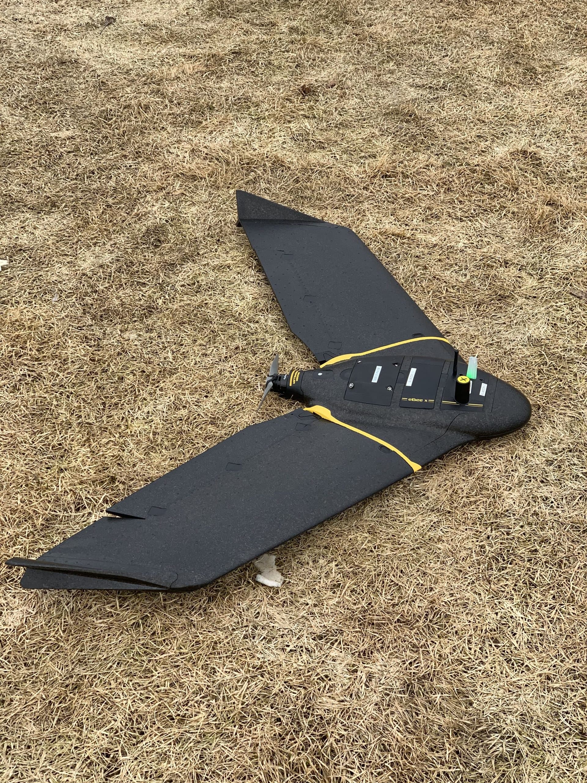
Drone Mapping & Photogrammetry
Survey-grade aerial mapping: orthophotos, surfaces, contours and volumes captured in a fraction of the time ground crews need.
Learn More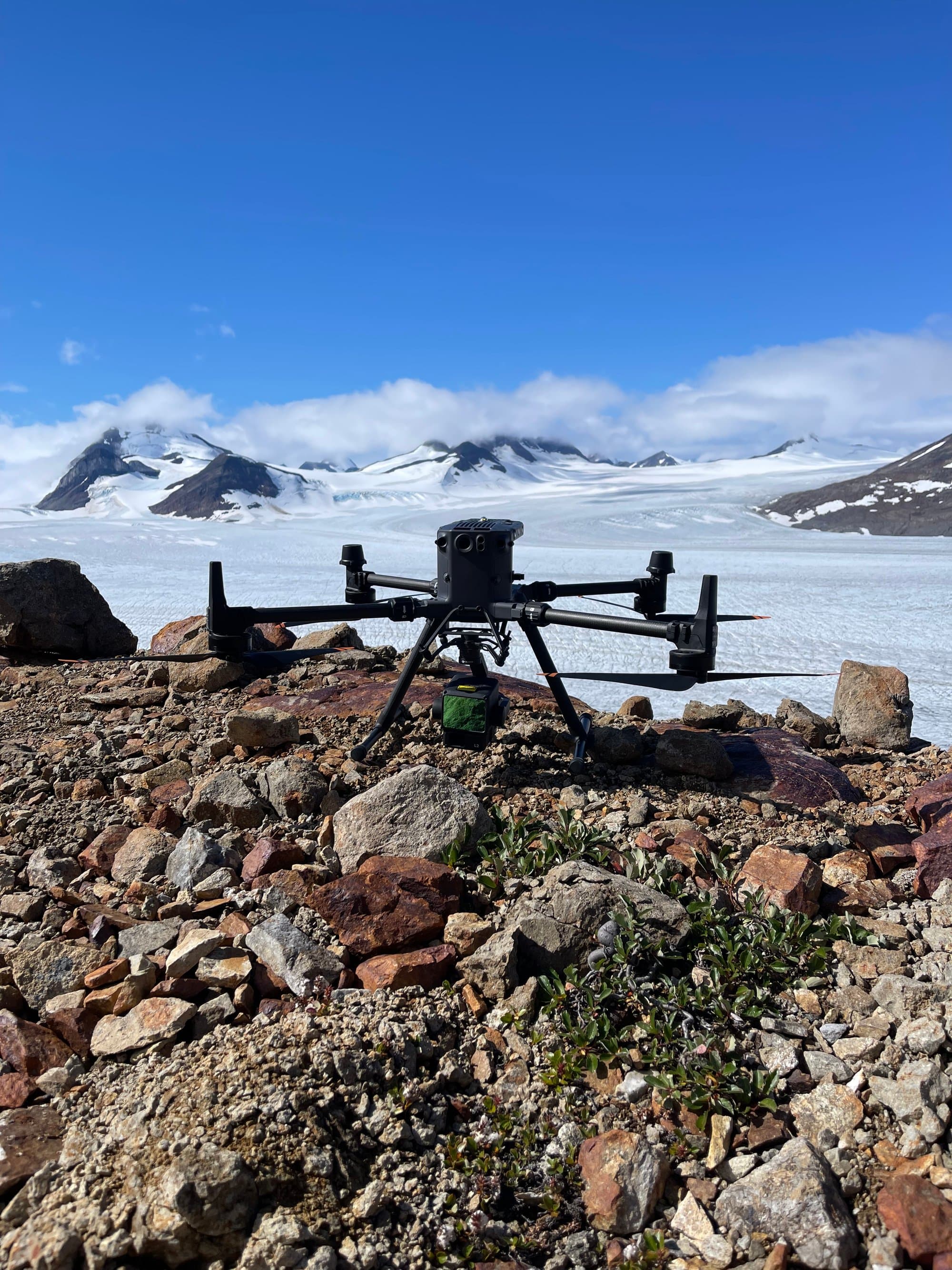
Drone LiDAR
Aerial LiDAR that maps the ground even under trees — bare-earth terrain models for forested, remote and complex sites.
Learn MoreNeed topographic surveys?
Send drawings, site plans or a short description. We'll review and respond with a clear scope and quote.
Prefer to talk? 6 a.m. – 7 p.m., 7 days a week.
- Prince George(778) 764-1626
- Edmonton(587) 400-1260
- Vancouver(604) 800-8708
- Whitehorse(867) 322-3453