Mining and Reclamation Surveying in Yukon
Surveying, drone LiDAR, volumes, mapping and site data for mining, reclamation and resource projects in Whitehorse and Yukon.
Mining and Reclamation Surveying in Whitehorse & Yukon
PCI Surveys provides mining surveying, reclamation survey support, drone LiDAR mapping, topographic surveys, volume measurements and site data collection for Whitehorse and Yukon project sites. We support mine operators, aggregate sites, reclamation contractors, environmental consultants, engineers, industrial sites, resource projects and project managers who need accurate field data for planning, construction, reporting, quantities and site documentation.Mining and reclamation projects in Yukon often involve remote access, seasonal conditions, large project areas, changing ground surfaces, stockpiles, access roads, drainage features, disturbed areas and tight mobilization windows. PCI Surveys can provide practical survey data and mapping deliverables to help project teams understand site conditions and document progress.
Mining and Reclamation Survey Services
PCI Surveys provides survey and mapping support for mining, aggregate, reclamation, environmental and resource projects depending on project scope, site access and deliverable requirements.
- Drone LiDAR mapping
- UAV mapping and orthophotos
- Topographic surveys
- Stockpile measurements
- Cut and fill volume calculations
- Surface models and contours
- Mine site and aggregate site mapping
- Reclamation progress surveys
- Drainage and ditch survey support
- Access road and corridor mapping
- As-built measurements
- Construction survey support for mine and resource sites
- Private line locating and GPR support where required
Drone LiDAR for Yukon Mining and Reclamation Projects
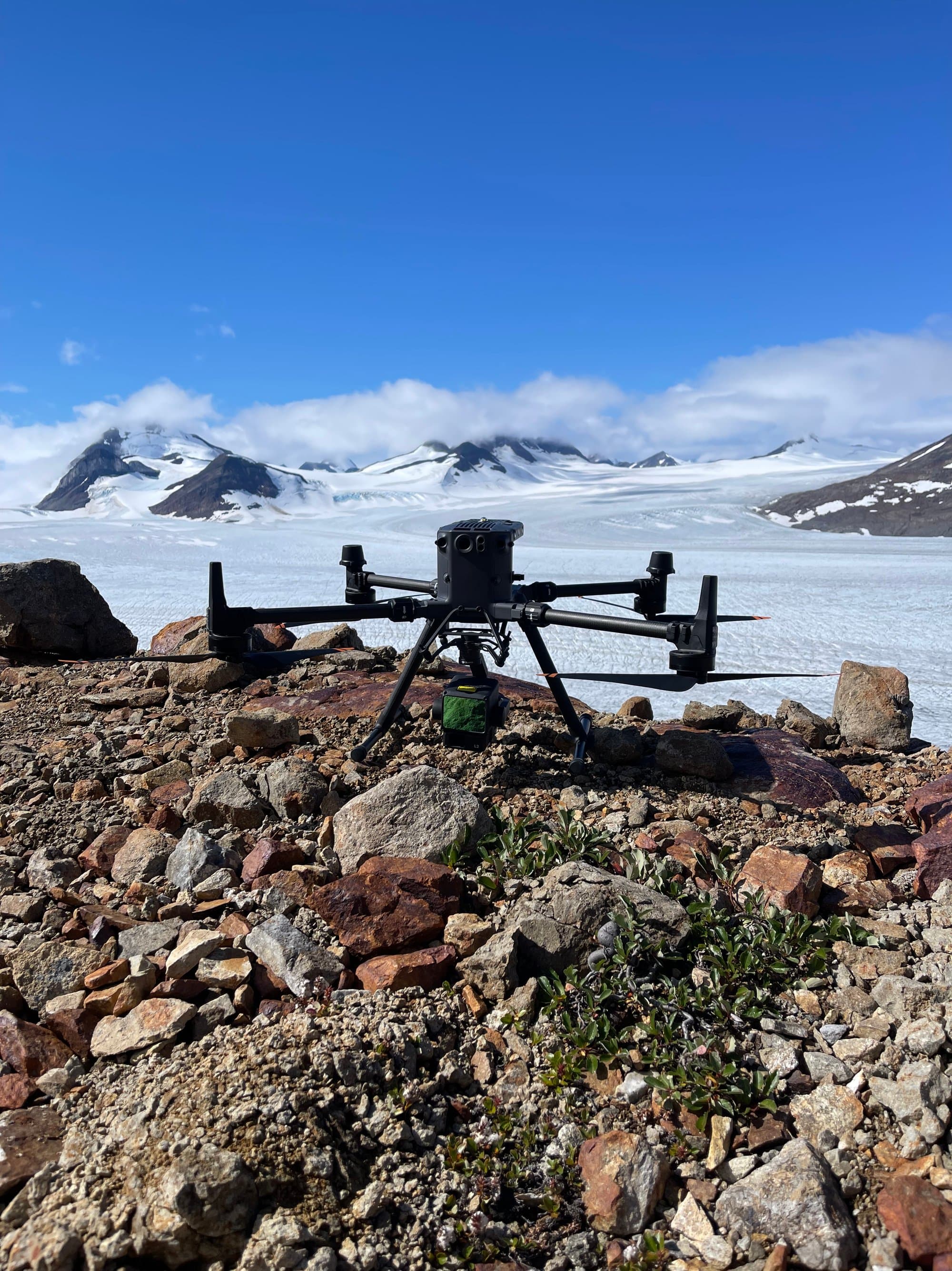
Drone LiDAR is useful for mine sites, reclamation areas, aggregate sites, stockpiles, disturbed ground, access roads, drainage features and remote terrain. LiDAR can help collect detailed surface information efficiently and can support terrain models, contours, volumes, mapping deliverables and project documentation.
For Yukon projects, drone LiDAR can be especially useful where terrain, access, vegetation, project size or remote site logistics make traditional survey collection slower. PCI Surveys can combine drone LiDAR with survey control and ground measurements depending on the project requirements.
Learn more about drone LiDAR surveying in Yukon
Volumes, Stockpiles and Surface Data
PCI Surveys provides volume and surface measurement support for mining, aggregate, reclamation and construction projects. Depending on the project, deliverables may include surface models, contours, cut and fill quantities, stockpile volumes, borrow area measurements, progress surfaces and comparison data.
Volume data can support project planning, progress tracking, material management, reclamation reporting, construction quantities and site documentation for Yukon project teams.
Topographic Surveys and Existing Site Conditions
Topographic survey data can help project teams understand existing site conditions before construction, reclamation, grading, drainage work or design updates. PCI Surveys can collect site features, elevations, slopes, drainage information, surfaces, access routes and other project details needed for planning and reporting.
Learn more about topographic and as-built surveys in Whitehorse
Survey Support for Reclamation Work
Reclamation projects may require survey data before, during and after site work. PCI Surveys can support reclamation contractors, environmental consultants and project managers with surface data, progress measurements, drainage information, volumes, as-built measurements, drone mapping and site documentation.
Survey data can help document disturbed areas, track grading progress, measure completed work, support reporting and provide practical information for project teams working in Yukon conditions.
Access Roads, Drainage and Remote Site Mapping
Yukon resource projects often require survey and mapping support for access roads, laydown areas, drainage features, pads, stockpiles, borrow areas, corridors and remote work areas. PCI Surveys can collect field data and prepare deliverables that support planning, construction, maintenance, reclamation and reporting.
Drone LiDAR, UAV mapping and ground survey measurements can be combined when a project needs both aerial data and detailed site measurements.
Construction, GPR and Private Locating Support
Mining, industrial and resource projects may also require construction layout, site control, private line locating, GPR scanning or underground utility investigation. PCI Surveys can support projects that need multiple types of field data from one provider.
Learn more about construction surveying in Whitehorse
Learn more about private line locating in Whitehorse
Learn more about GPR scanning in Whitehorse
Project Types We Support
- Mine sites
- Aggregate pits and quarries
- Reclamation areas
- Borrow pits and material sites
- Stockpile and volume measurement projects
- Access roads and resource roads
- Drainage and ditch projects
- Industrial and resource sites
- Environmental investigation sites
- Construction and earthworks projects
- Remote Yukon project sites
Areas Served
PCI Surveys provides mining and reclamation surveying in Whitehorse and throughout Yukon depending on project scope, schedule, access, weather and mobilization requirements.
- Whitehorse
- Dawson City
- Watson Lake
- Haines Junction
- Carcross
- Tagish
- Marsh Lake
- Teslin
- Carmacks
- Faro
- Mayo
- Pelly Crossing
- Ross River
- Burwash Landing
- Beaver Creek
- Mining and reclamation project sites
- Remote Yukon project sites
Related Whitehorse and Yukon Services
- Whitehorse Service Area
- Drone LiDAR Surveying in Yukon
- Topographic and As-Built Surveys in Whitehorse
- Construction Surveying in Whitehorse
- Private Line Locating in Whitehorse
- GPR Scanning in Whitehorse
Why Choose PCI Surveys for Mining and Reclamation Surveying in Yukon?
- Surveying, drone LiDAR, GPR and private line locating support from one field provider
- Experience supporting mining, aggregate, reclamation, environmental, industrial and construction projects
- Practical deliverables for volumes, mapping, contours, surfaces, as-builts and site documentation
- Support for Whitehorse, Yukon communities and regional project sites
- Ability to combine drone LiDAR with survey control, topographic data, construction survey support or utility investigation
- Indigenous-owned and operated
Frequently Asked Questions
Do you provide mining surveying in Yukon?
Yes. PCI Surveys provides mining survey support, drone LiDAR mapping, topographic surveys, volume measurements and site data collection for Whitehorse and Yukon project sites.
Can you measure stockpiles and volumes?
Yes. PCI Surveys can provide stockpile measurements, cut and fill volume support, surface models and quantity data depending on the site conditions and project scope.
Can drone LiDAR be used for reclamation surveys?
Yes. Drone LiDAR can be used to support reclamation surveys, progress tracking, terrain mapping, drainage review, surface modelling, contours and site documentation.
Do you provide survey support for aggregate pits?
Yes. PCI Surveys supports aggregate pits, quarries, borrow areas, stockpile sites, material sites and related resource projects depending on scope, access and schedule.
Request Mining or Reclamation Surveying in Yukon
If you need mining survey support, reclamation surveying, drone LiDAR, UAV mapping, topographic surveys, volumes, stockpile measurements, as-builts or site data in Whitehorse or Yukon, contact PCI Surveys with your project location, scope of work and schedule.
PCI Surveys - Whitehorse
Telephone: (867) 322-3453
Email: yt@pcisurveys.ca
Request a quote for mining or reclamation surveying in Yukon