Drone LiDAR Surveying in the Lower Mainland
UAV LiDAR mapping, point clouds, orthophotos, contours and survey deliverables for Vancouver and Lower Mainland project sites.
Drone LiDAR Surveying in Vancouver & the Lower Mainland
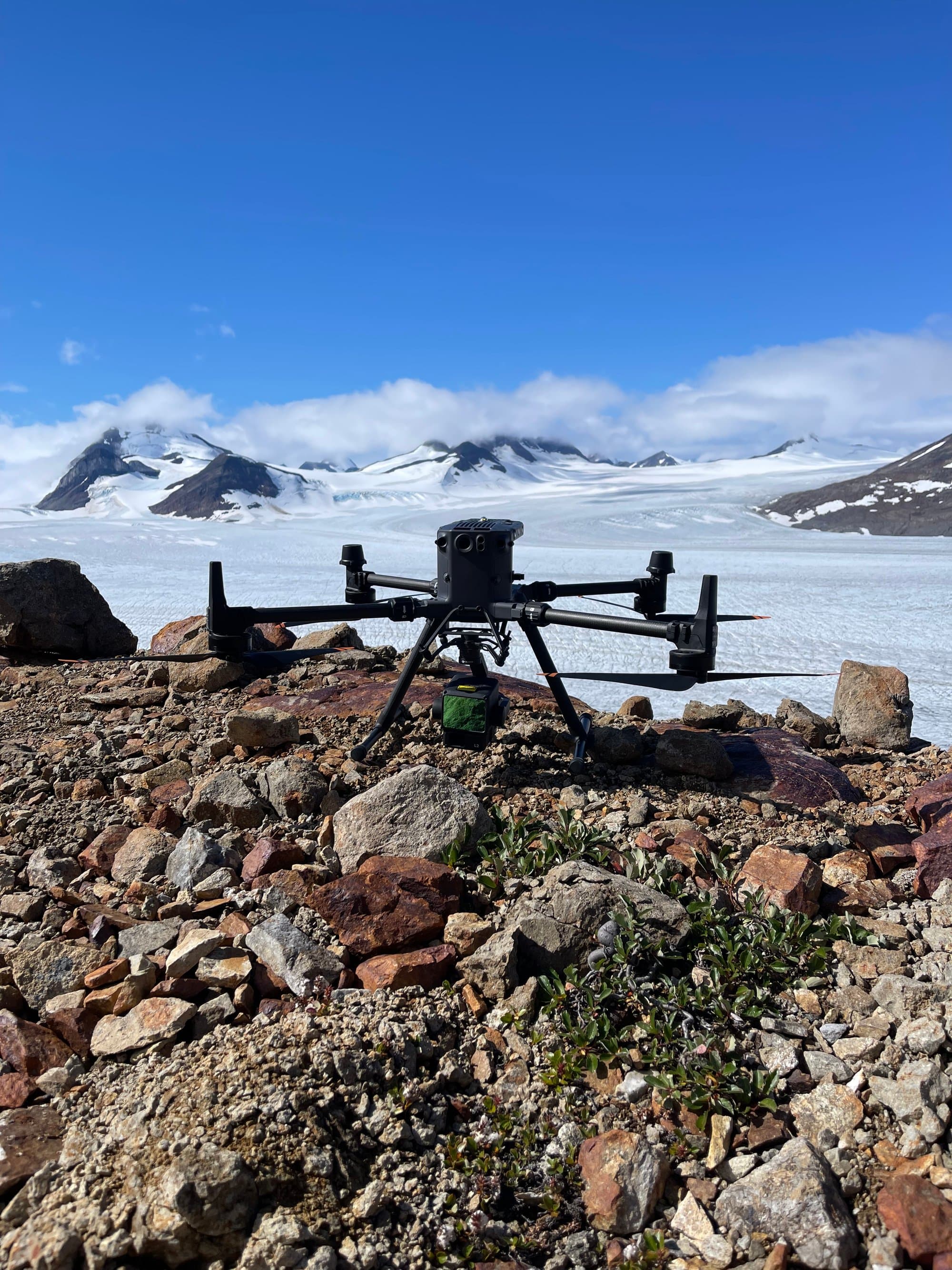
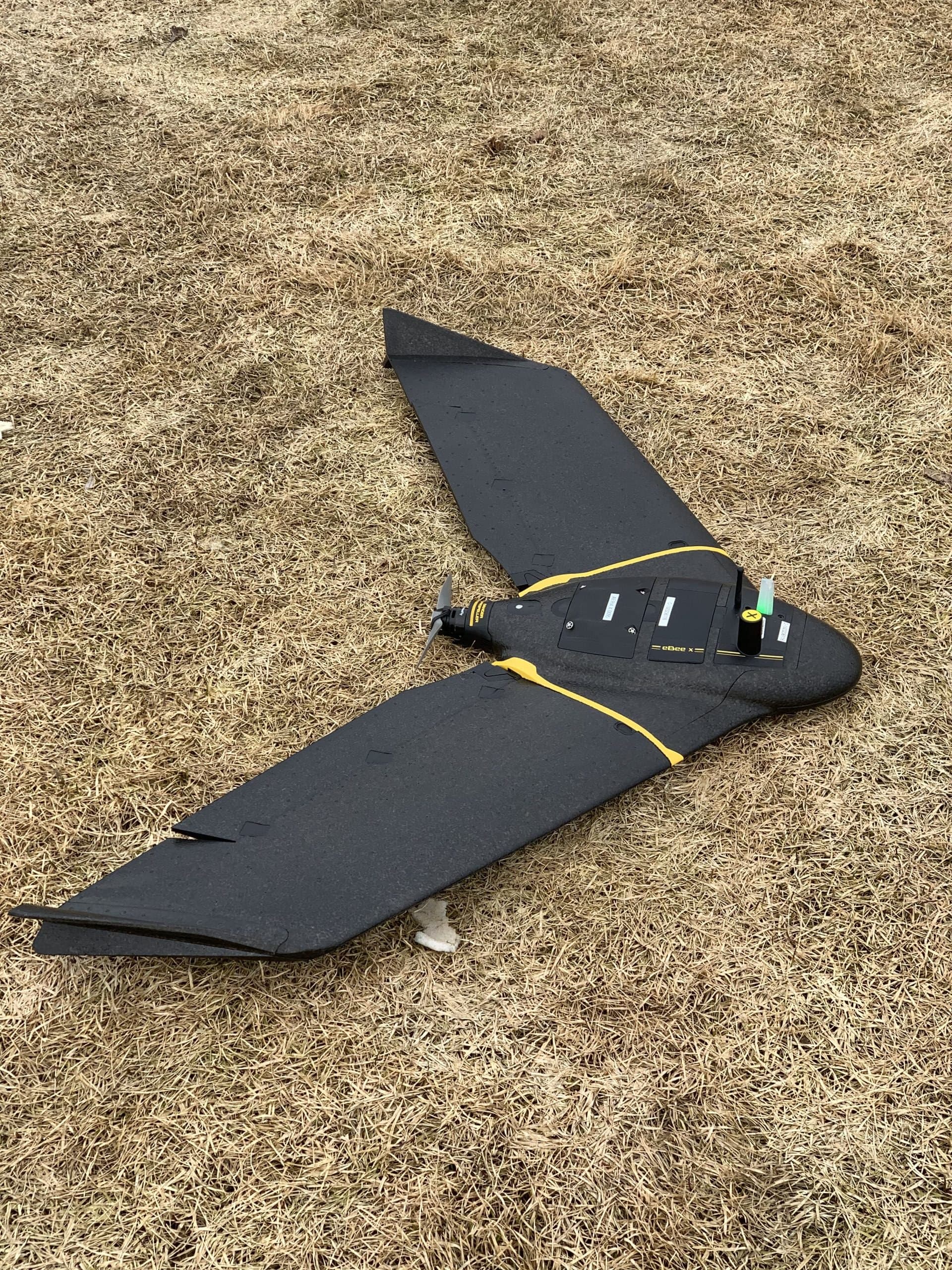
PCI Surveys provides drone LiDAR surveying and UAV mapping services for Vancouver and Lower Mainland project sites. We support contractors, engineers, environmental consultants, commercial properties, industrial sites, redevelopment projects, infrastructure work and project managers who need accurate terrain data, mapping, point clouds, orthophotos, contours, surface models, quantities or site documentation.
Drone LiDAR can be useful for construction sites, redevelopment areas, corridors, drainage areas, access routes, industrial properties, stockpiles, large commercial sites and project locations where efficient site data collection is needed.
Drone LiDAR and UAV Mapping Services
PCI Surveys can provide drone LiDAR and UAV mapping deliverables based on the project scope, site conditions, accuracy requirements and final use of the data.
- Drone LiDAR data collection
- UAV mapping and aerial survey support
- Point clouds
- Orthophotos
- Digital elevation models
- Digital terrain models
- Contours
- Surface models
- Volume calculations
- Stockpile measurements
- Corridor and access route mapping
- Construction and redevelopment site mapping
- CAD-ready mapping and survey deliverables
Drone LiDAR for Construction and Redevelopment Projects
Vancouver and Lower Mainland projects often involve active construction areas, tight access, existing buildings, paved surfaces, drainage features, utilities, corridors and redevelopment constraints. Drone LiDAR can help project teams collect useful site information for planning, design, construction support, quantities and project documentation.
Drone LiDAR and UAV mapping can support existing condition documentation, surface modelling, progress tracking, volume calculations, access planning and as-built support depending on the project requirements.
Learn more about construction surveying in Vancouver
Point Clouds, Orthophotos, Contours and Surface Models
Drone LiDAR deliverables can help engineers, contractors, consultants and owners understand site conditions and make better project decisions. Depending on the project, PCI Surveys can provide point clouds, orthophotos, contours, surface models, elevation data, volumes and mapping outputs.
These deliverables can support design, planning, project exhibits, quantity calculations, site documentation, construction coordination and progress review.
Drone LiDAR for Industrial and Infrastructure Sites
PCI Surveys supports industrial, commercial and infrastructure project sites with drone LiDAR mapping, UAV imagery, surface data and survey deliverables. This can be useful for yards, corridors, drainage areas, access routes, laydown areas, stockpiles, road work, utilities and other project features.
Drone LiDAR can also be combined with field survey measurements where site control, ground checks or higher-confidence deliverables are required.
Survey Control and Accuracy
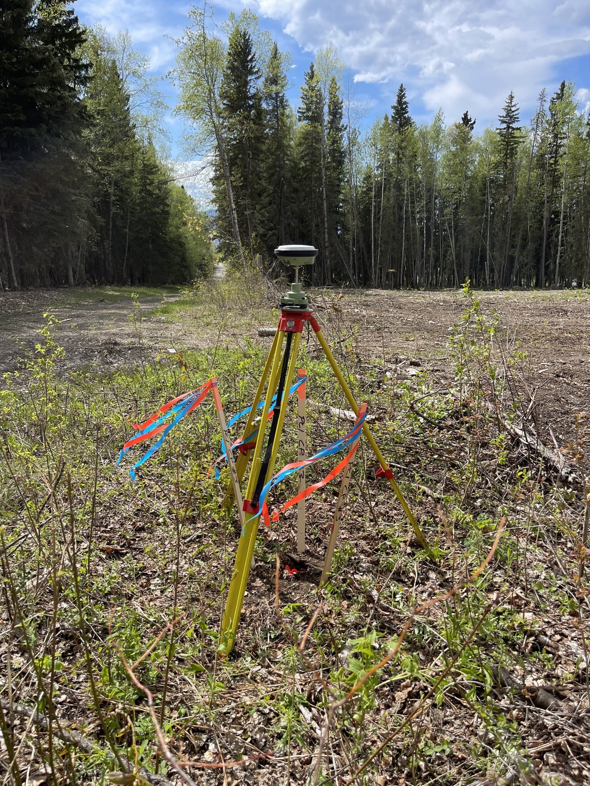
Drone LiDAR projects often require survey control, ground checks or field measurements to support the accuracy and usefulness of the final deliverables. PCI Surveys can establish control, collect ground points and combine survey measurements with drone LiDAR data depending on the project needs.
Accuracy depends on site conditions, control, flight planning, surface conditions, vegetation, processing methods and final deliverable requirements. PCI Surveys provides practical deliverables matched to the intended use of the data.
Combining Drone LiDAR with Other Field Services
Many projects benefit from more than one type of field data. PCI Surveys can combine drone LiDAR with construction surveying, topographic surveys, GPR scanning or private line locating when the project requires mapping, layout, underground utility information or site investigation support.
Learn more about private line locating in Vancouver
Learn more about GPR scanning in Vancouver
Common Drone LiDAR Deliverables
Deliverables depend on the project scope, accuracy requirements and intended use of the data. PCI Surveys can prepare practical outputs for contractors, engineers, designers, consultants and project teams.
- Point clouds
- Classified point clouds where applicable
- Orthophoto imagery
- Contours
- Surface models
- Volume reports
- Topographic mapping
- Site plan support
- CAD-ready survey information
- PDF maps or project exhibits
Areas Served
PCI Surveys provides drone LiDAR surveying and UAV mapping in Vancouver and surrounding Lower Mainland areas depending on project scope, schedule, weather, access and mobilization requirements.
- Vancouver
- Burnaby
- Richmond
- Surrey
- Delta
- Langley
- New Westminster
- North Vancouver
- West Vancouver
- Coquitlam
- Port Coquitlam
- Port Moody
- Maple Ridge
- Pitt Meadows
- Abbotsford
- Chilliwack
- Lower Mainland project sites
Related Vancouver and Lower Mainland Services
- Vancouver Service Area
- Private Line Locating in Vancouver
- GPR Scanning in Vancouver
- Construction Surveying in Vancouver
- Topographic and As-Built Surveys in Vancouver
Why Choose PCI Surveys for Drone LiDAR in the Lower Mainland?
- Drone LiDAR, surveying, GPR and private line locating support from one field provider
- Experience supporting construction, redevelopment, commercial, industrial, environmental and infrastructure projects
- Practical deliverables for terrain mapping, quantities, contours, surface models and project documentation
- Support for Vancouver and Lower Mainland project sites
- Ability to combine drone LiDAR with survey control, topographic data, GPR or private locating when needed
- Indigenous-owned and operated
Frequently Asked Questions
Do you provide drone LiDAR surveying in Vancouver?
Yes. PCI Surveys provides drone LiDAR surveying and UAV mapping in Vancouver and the Lower Mainland for construction, redevelopment, commercial, industrial, environmental and infrastructure projects.
What can drone LiDAR be used for?
Drone LiDAR can be used for terrain mapping, point clouds, contours, surface models, stockpile volumes, corridors, access routes, drainage review, construction planning and project documentation.
Do you provide orthophotos and point clouds?
Yes. Depending on the project, PCI Surveys can provide point clouds, orthophotos, contours, surface models, volume data and mapping deliverables.
Can drone LiDAR be used on urban construction sites?
Yes. Drone LiDAR and UAV mapping can support urban construction sites where access, airspace, safety, site conditions and project requirements allow. Planning may be required for flights in complex urban areas.
Can drone LiDAR be combined with construction surveying?
Yes. Drone LiDAR can be combined with construction surveying, survey control, topographic surveys, as-built measurements, GPR scanning and private line locating where the project requires multiple types of field data.
Request Drone LiDAR Surveying in the Lower Mainland
If you need drone LiDAR surveying, UAV mapping, point clouds, orthophotos, contours, surface models, quantities, topographic data or survey support in Vancouver or the Lower Mainland, contact PCI Surveys with your project location, scope of work and schedule.
PCI Surveys - Vancouver
Telephone: (604) 800-8708
Email: bc@pcisurveys.ca
Request a quote for drone LiDAR surveying in the Lower Mainland