
Construction Surveying
Earthworks & Volume Surveys
Stockpile, cut-and-fill and progress volumes measured properly — defensible numbers for payment, planning and inventory.
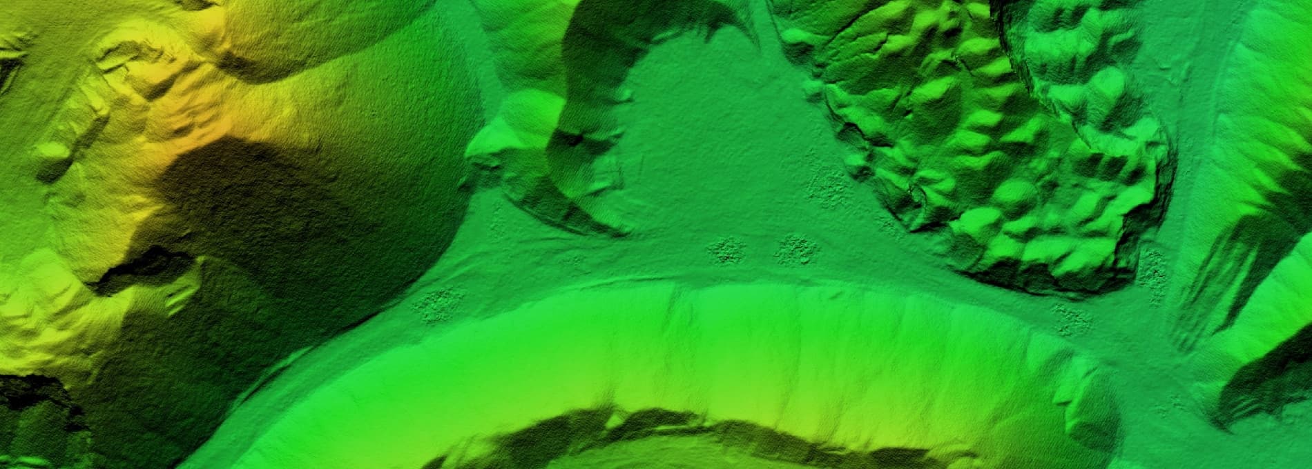
Earthworks money moves on measured quantities. PCI Surveys measures stockpiles, excavations, embankments and progress volumes using drone photogrammetry, LiDAR and ground survey, then computes quantities against design surfaces, previous surveys or base models — so payment applications, inventory counts and haul planning stand on defensible numbers.
Drone-based volume surveys let us measure large or active sites quickly and safely, without walking crews across stockpiles or live equipment areas, across BC, Alberta and the Yukon.
What PCI Performs
- Stockpile volume surveys
- Cut-and-fill and borrow-pit calculations
- Monthly progress and payment quantity surveys
- Topsoil strip and subgrade verification
- Design surface comparisons
- Mine and aggregate inventory surveys
When You Need It
- Monthly progress payments on earthworks contracts
- Year-end or quarterly aggregate inventory
- Verifying contractor quantities
- Pre-bid site quantity assessments
Who Uses It
- Earthworks and civil contractors
- Mining and aggregate producers
- Owners and engineers certifying payment
- Project managers tracking production
Deliverables
- Volume reports with methodology and surfaces documented
- Cut/fill maps and isopach plots
- Surfaces and models (Civil 3D compatible)
- Orthophotos of the site at survey date
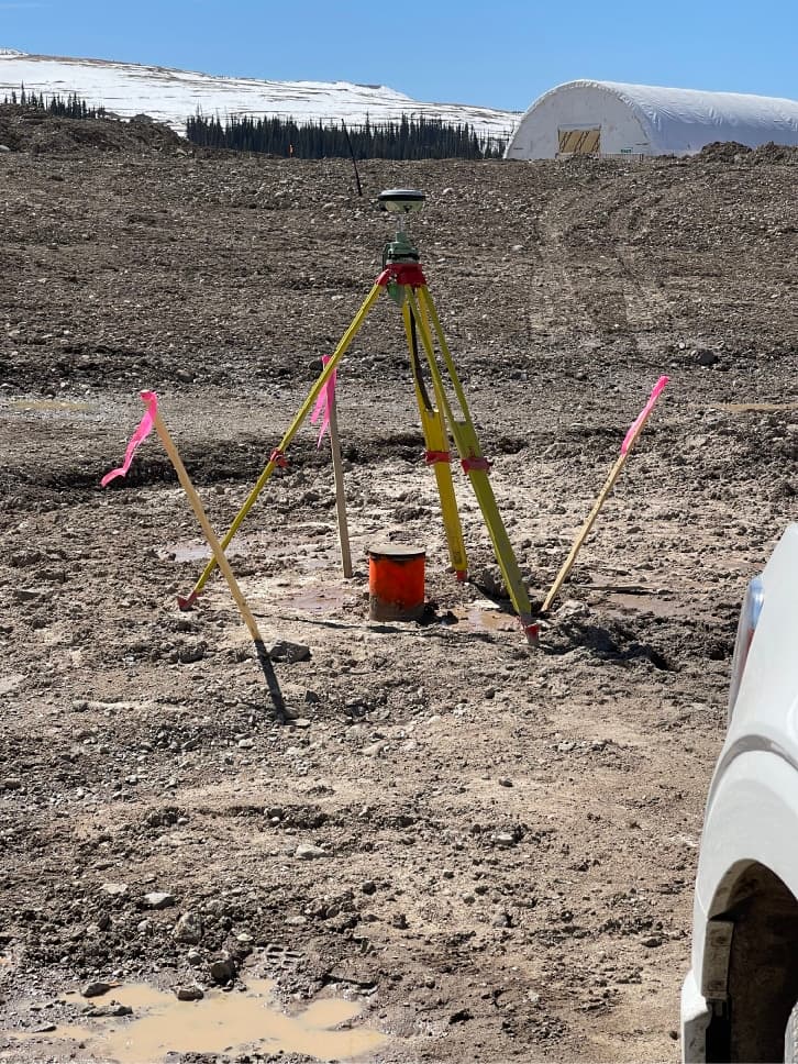
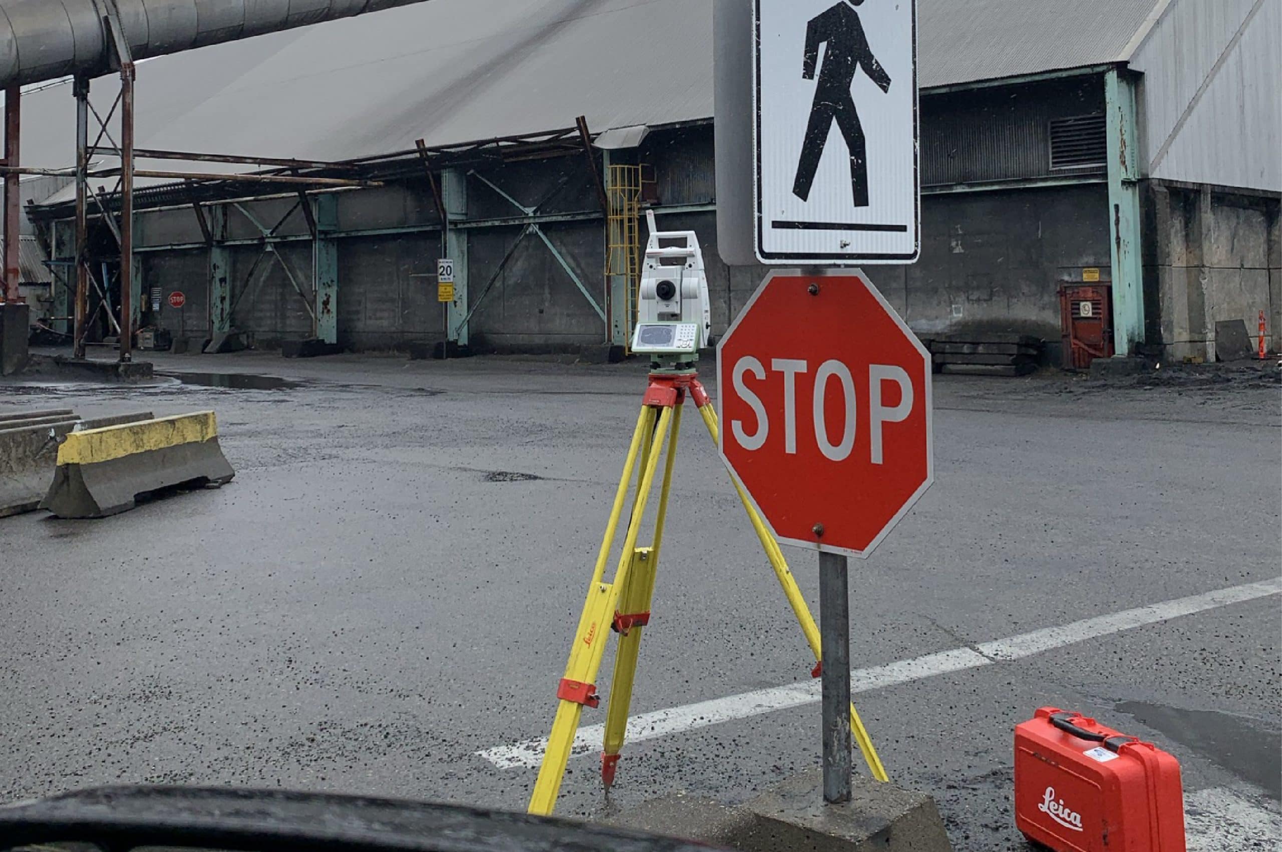
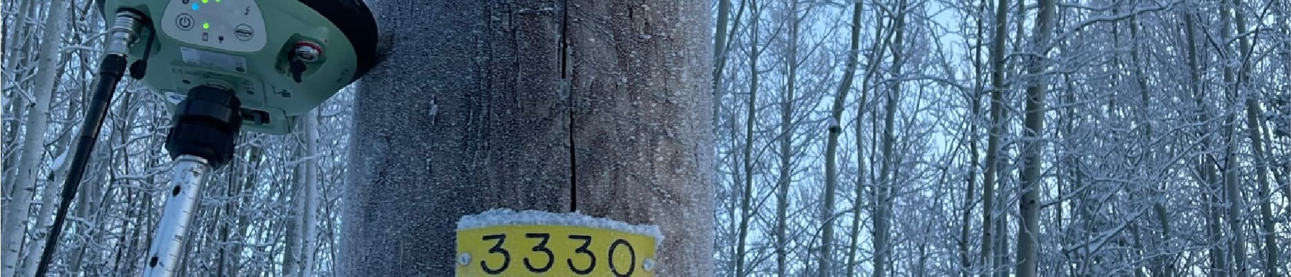
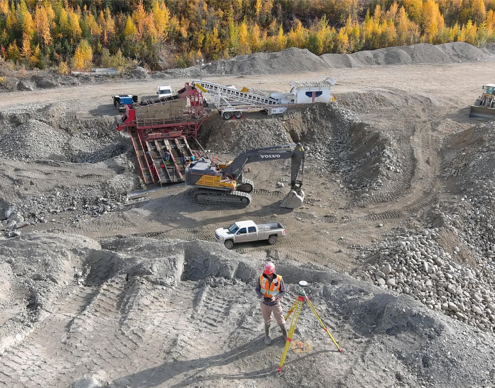
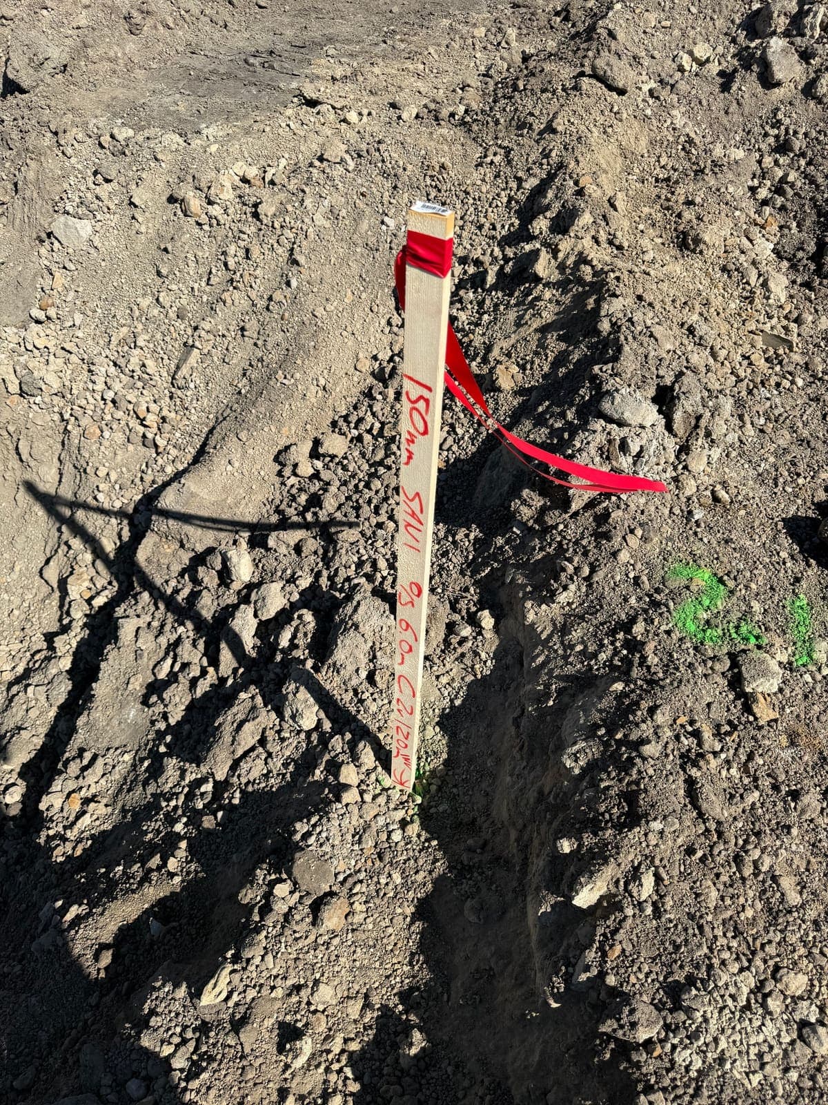
PCI In The Field
Real crews. Real sites.
Common Questions
Earthworks & Volumes FAQs
How are cut/fill and stockpile volumes calculated?
We measure the surface — by drone or on the ground — and compare it against a base surface or design surface. The difference is your volume, reported clearly.
Why measure volumes by drone?
A drone captures the entire surface in one flight — denser data than ground shots, no climbing on stockpiles, and repeat flights make month-over-month comparisons easy.
How often should stockpiles be measured?
Whatever your reporting cycle needs — monthly or quarterly inventory, pre- and post-project, or at billing milestones. Repeat flights are quick once control is in.
Can the numbers be used for billing and inventory?
Yes — flown with ground control and validated against checkpoints, volume reports are built for quantity reconciliation and inventory reporting.
Related Services
Often Booked Together
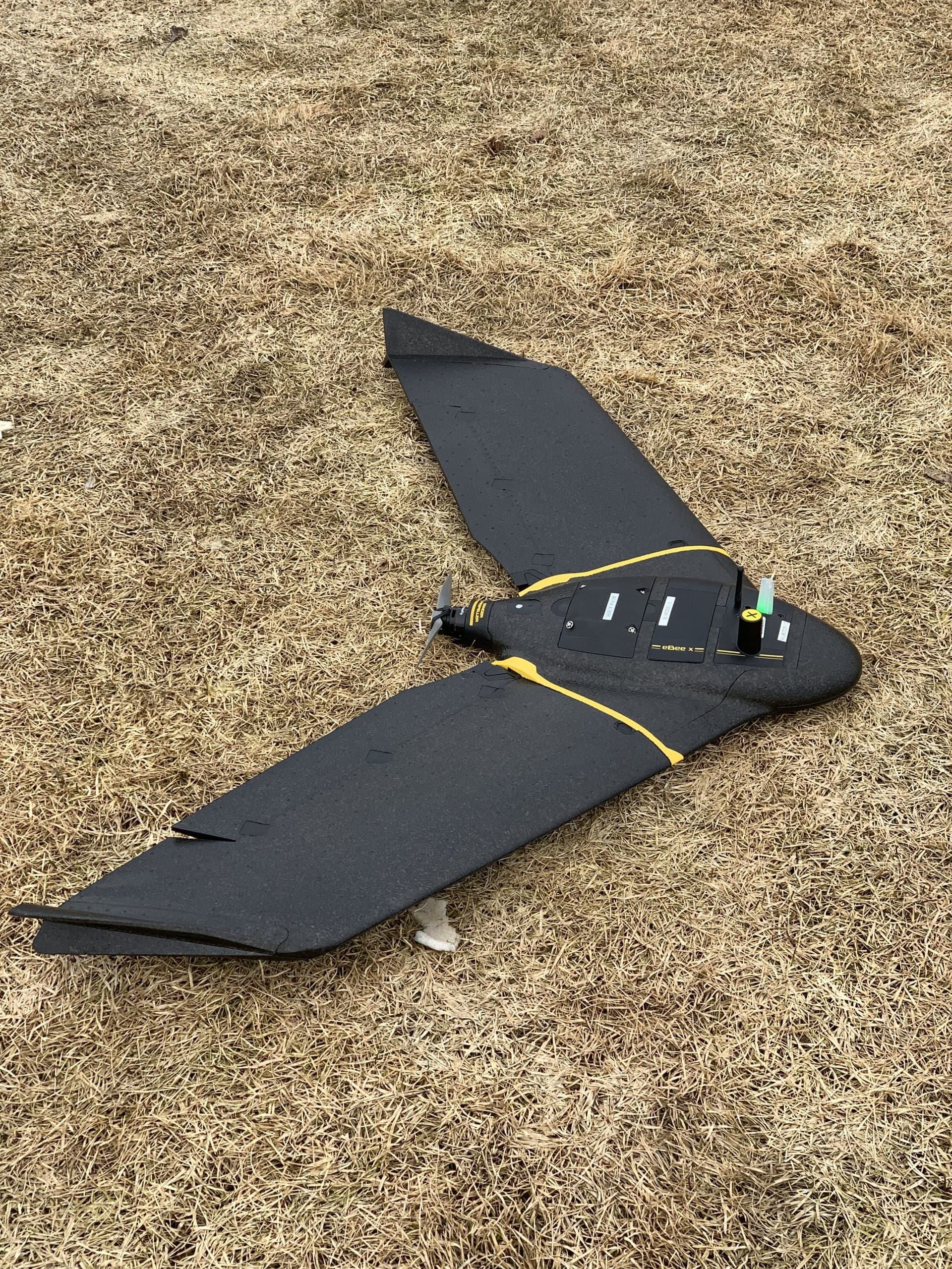
Drone Mapping & Photogrammetry
Survey-grade aerial mapping: orthophotos, surfaces, contours and volumes captured in a fraction of the time ground crews need.
Learn More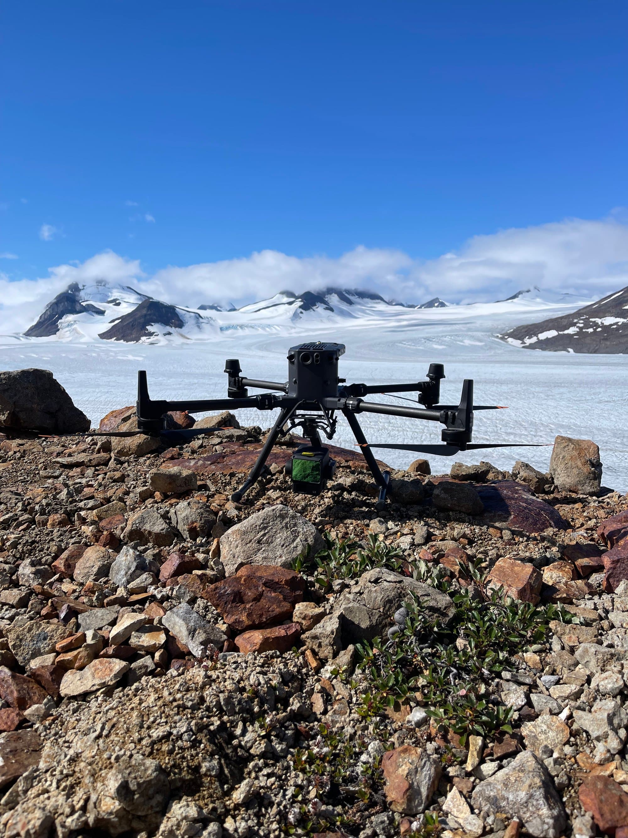
Drone LiDAR
Aerial LiDAR that maps the ground even under trees — bare-earth terrain models for forested, remote and complex sites.
Learn More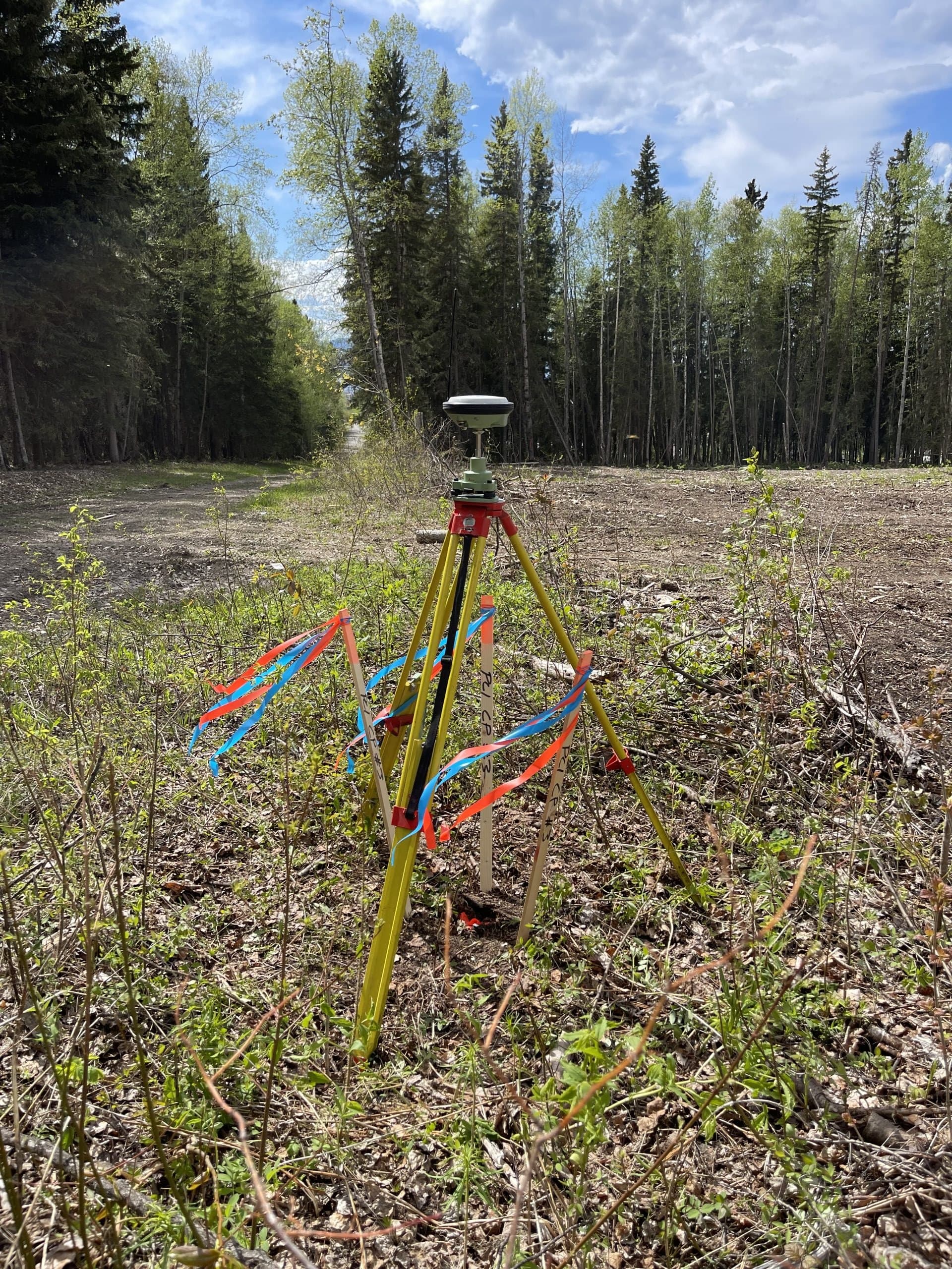
Topographic Surveys
Existing-condition and site surveys that give engineers and planners the accurate ground picture design starts from.
Learn MoreNeed earthworks & volumes?
Send drawings, site plans or a short description. We'll review and respond with a clear scope and quote.
Prefer to talk? 6 a.m. – 7 p.m., 7 days a week.
- Prince George(778) 764-1626
- Edmonton(587) 400-1260
- Vancouver(604) 800-8708
- Whitehorse(867) 322-3453