
September 4, 2026 · Surveying, Surveyors in Northern BC, Yukon Surveyor
Mining Surveying in Northern BC and the Yukon
Placer creeks, open pits, exploration camps and closure plans. The mining north runs on measurement. Here is what surveying looks like where the mines actually are.
Two mining worlds, one set of problems
The north mines in two ways. Placer operations work gravel in creek valleys: a wash plant, an excavator feeding it, and a season that is over when the water freezes. Hard-rock projects run longer and bigger: exploration camps that become construction sites, construction sites that become operating pits. The two look nothing alike, but they share the same problems: remote ground, short seasons, and decisions that depend on knowing exactly where things are and exactly how much material has moved.PCI Surveys works both, across northern BC and the Yukon. Crews based in Prince George and Whitehorse put most of the mining north within a day's drive, and where the road ends, we mobilize by helicopter, boat or camp like everyone else on site.
Control where there is no cell service
Everything at a mine hangs off survey control. Volumes, layout, as-builts, the pit model, the mill foundations: all of it is only as good as the network it is measured from.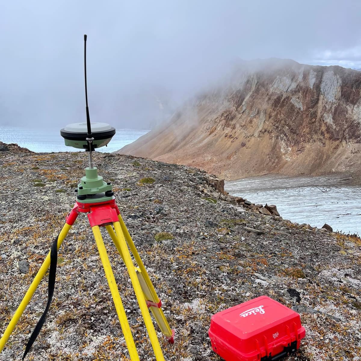
Mining ground is rarely convenient. There is no cell coverage, no nearby monument, and often no existing control at all. PCI establishes GNSS control networks from scratch: long static observations tied to published control, base stations that run all season, and monumented points placed where the mining plan will not chew them up by August. Set once, checked often, and good for the life of the project.
Placer: the season is measured in cubic metres
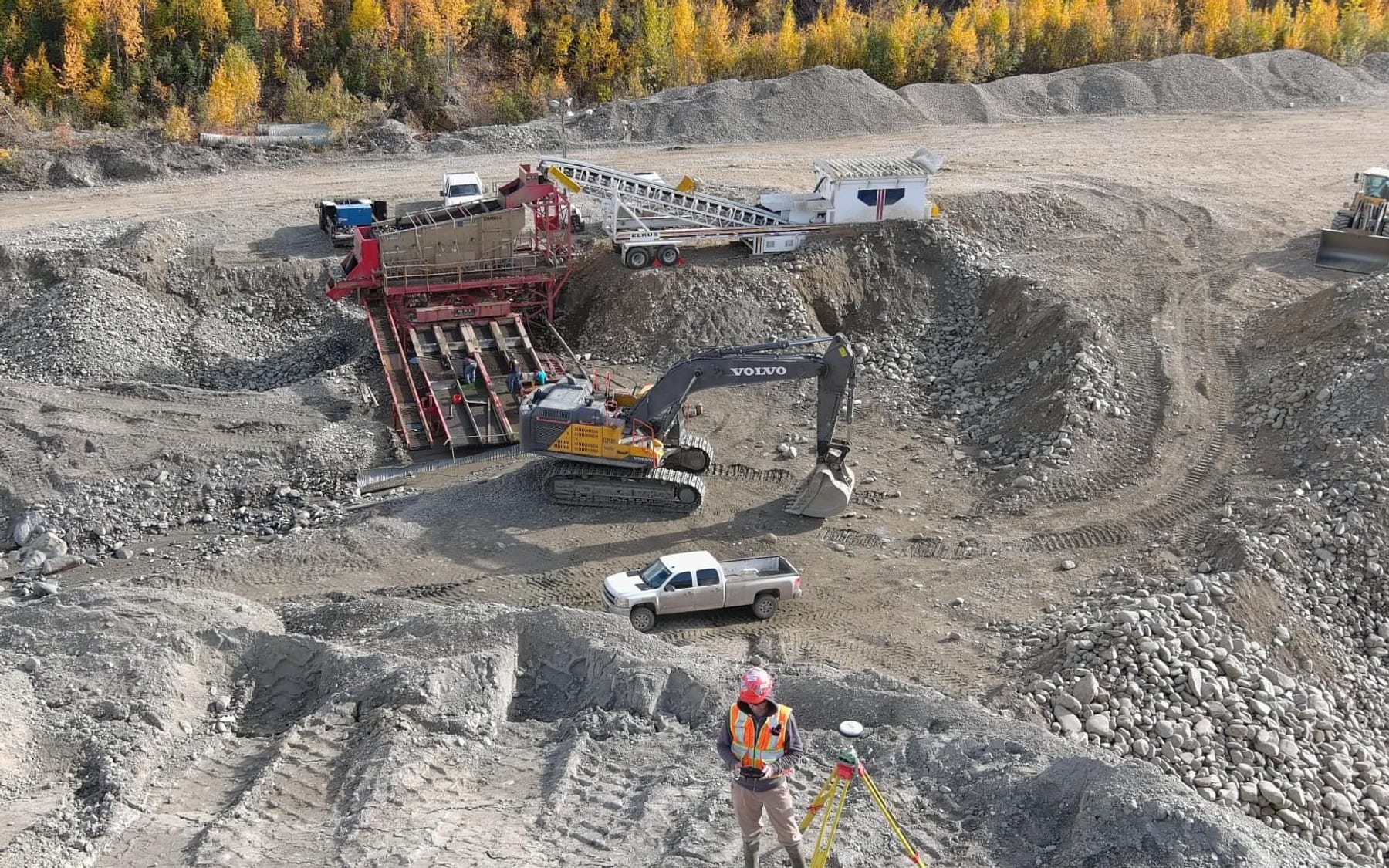
The photograph at the top of this post is a placer operation in full swing: wash plant running, excavator feeding it, and a surveyor on the gravel with a GNSS receiver while the work continues around him. That is the point: placer surveying happens without stopping the plant.What the operator needs is numbers. How much overburden came off, how much pay gravel went through the plant, how the cut is advancing against the ground that remains, and what the settling ponds are holding. Repeat surveys of the workings, on the ground or by drone, turn the season into cubic metres, and the end-of-season survey becomes the record the next season is planned from.
Exploration and early works
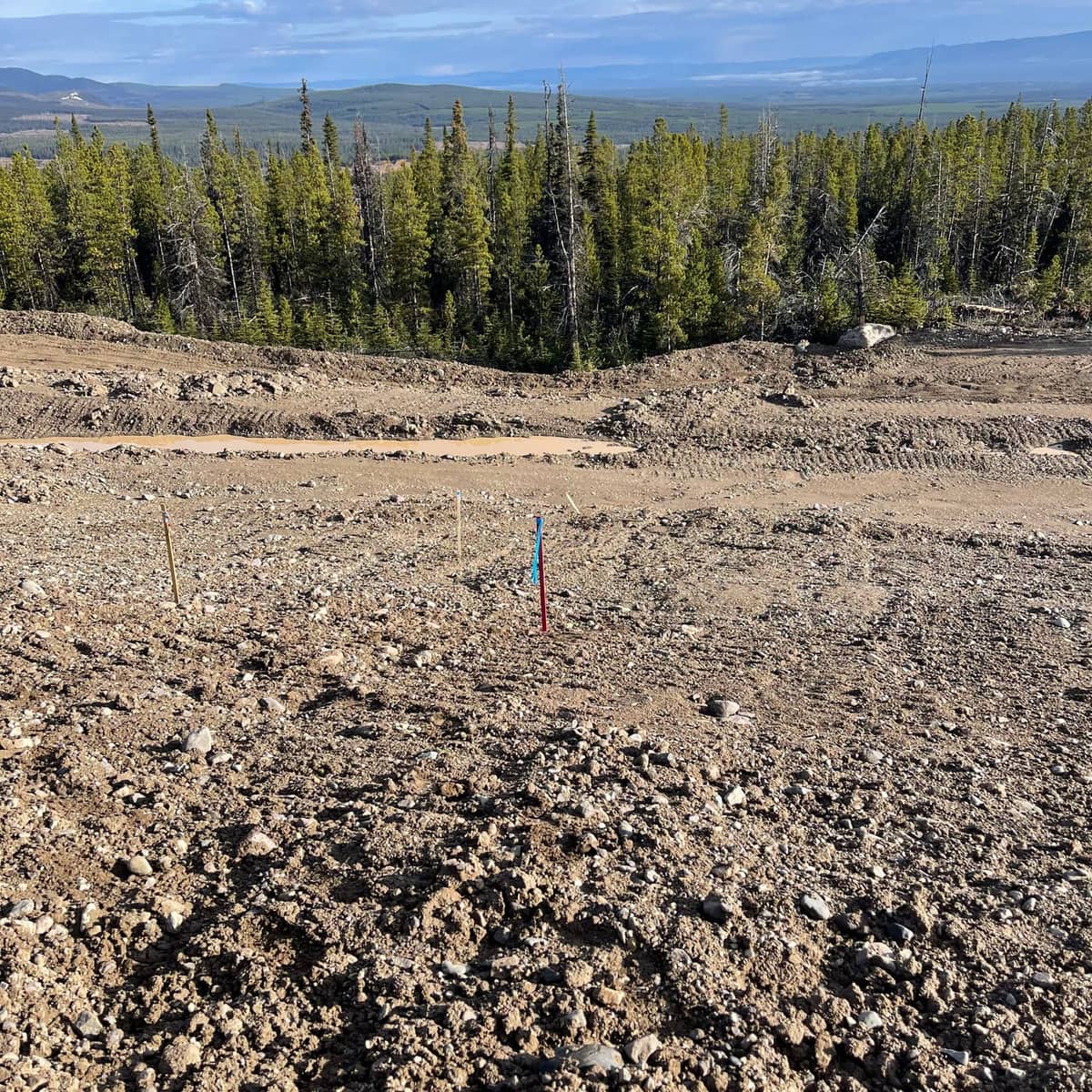
Before there is a mine there is a camp, a laydown, drill pads and kilometres of access road, all of it needing layout, and all of it needing to be recorded as built.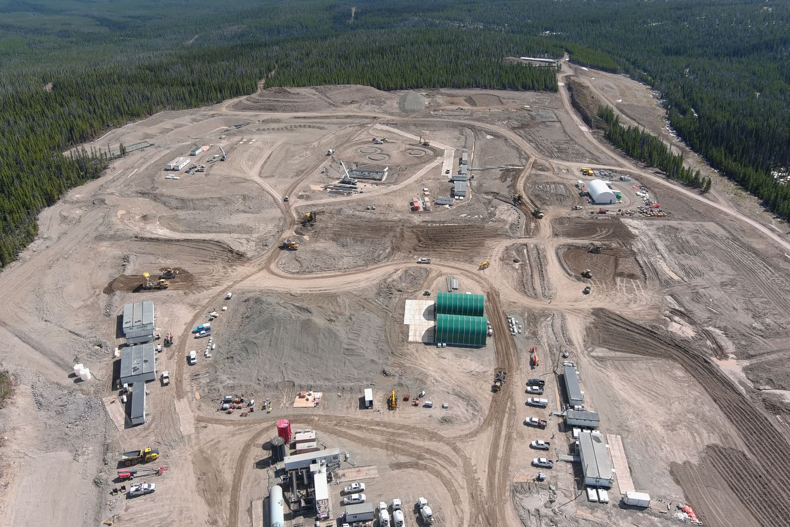
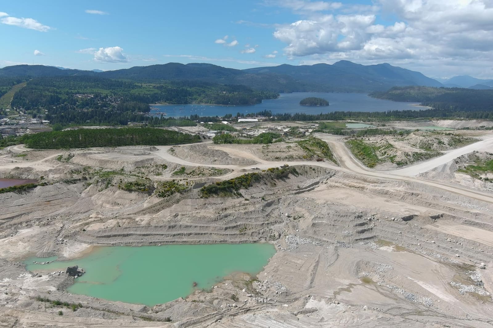
Drone mapping earns its keep here. A site like the one above changes weekly, and a flight captures the whole footprint, roads, pads, stockpiles and water management, in an afternoon. The orthophoto becomes the site plan everyone actually uses, and the surface model feeds the earthworks quantities.
Building the mine
When a project moves to construction, the survey work becomes construction surveying at mine scale: foundations, conveyors, crushers, tank farms, retaining structures and haul roads, laid out from the engineering and verified as they go in.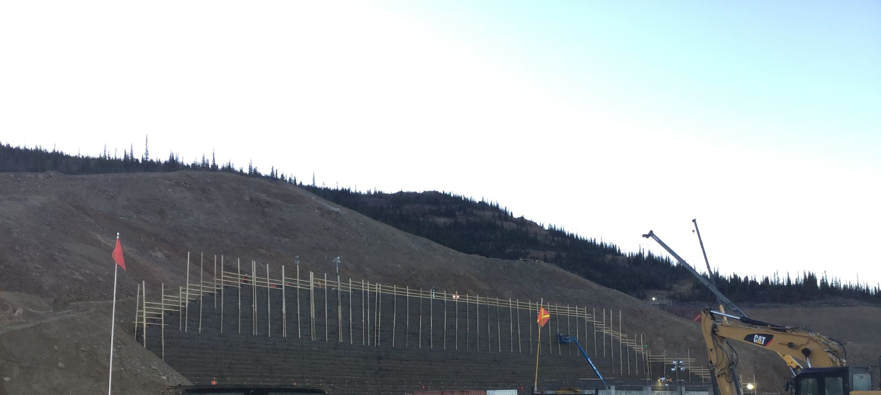
Structures like the wall above are staked lift by lift, face lines, anchor grids and drainage, because a wall that creeps out of tolerance at the third lift is a very expensive discovery at the tenth. On the earthworks side, grade stakes still run the show: cut and fill marked on the ground, checked against the design surface, re-set as the surface moves.
Volumes that reconcile the month
An operating mine measures itself constantly. Stockpiles, waste dumps, pit advance: the month-end numbers come from surveys, and disagreements about them are disagreements about money.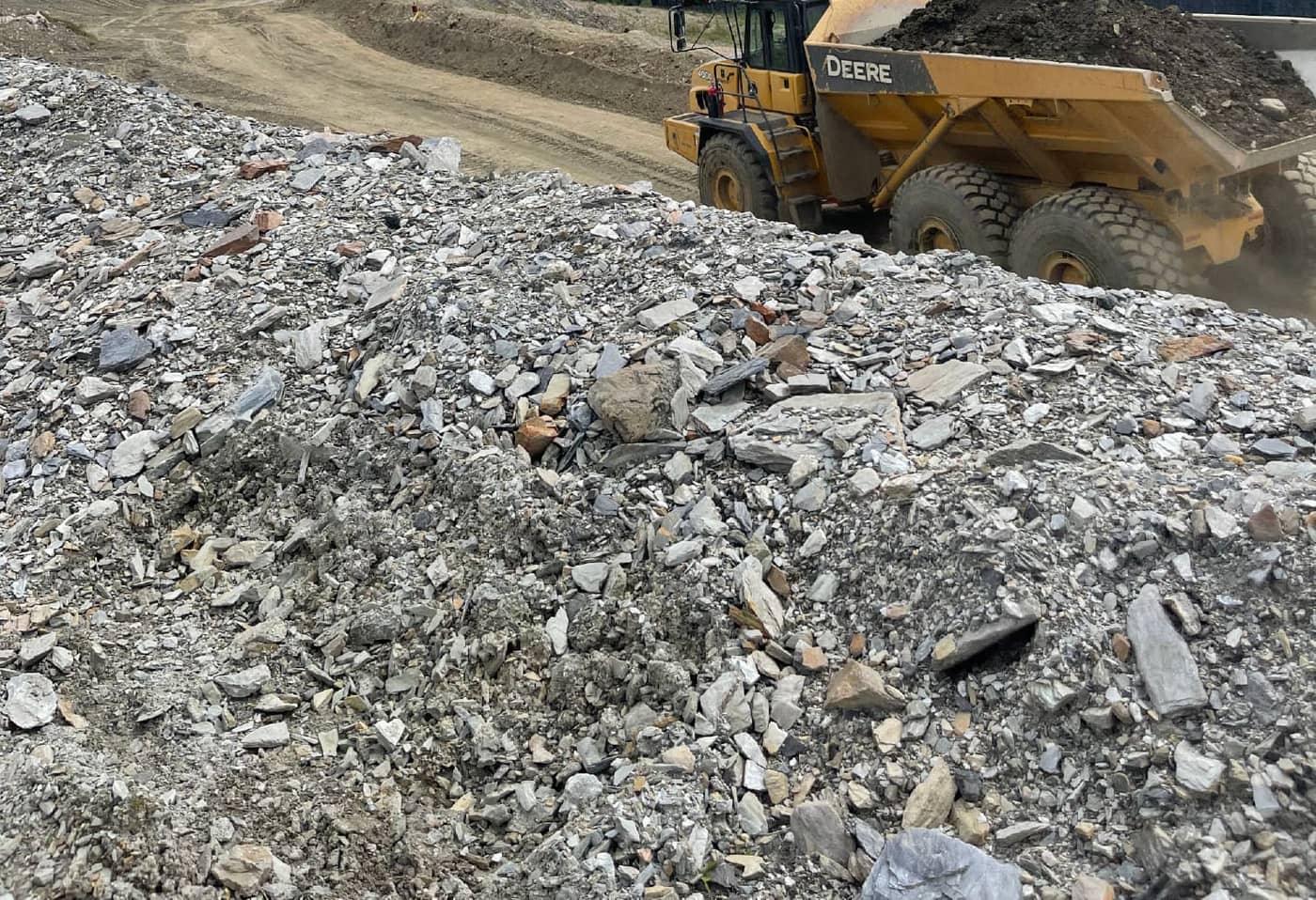
PCI flies and measures surfaces on a repeat schedule, monthly, quarterly or around blasting and hauling milestones, and delivers volumes computed against the same base surfaces every time, so the trend is real and the reconciliation holds up. Where the pit geometry is complex, drone photogrammetry and LiDAR capture every bench without putting anyone under a highwall.
The high country
Some of the north's mineral ground is above treeline, and some of it has been worked before. There are alpine basins in the Yukon and northern BC where the timbers of workings from a century ago still stand.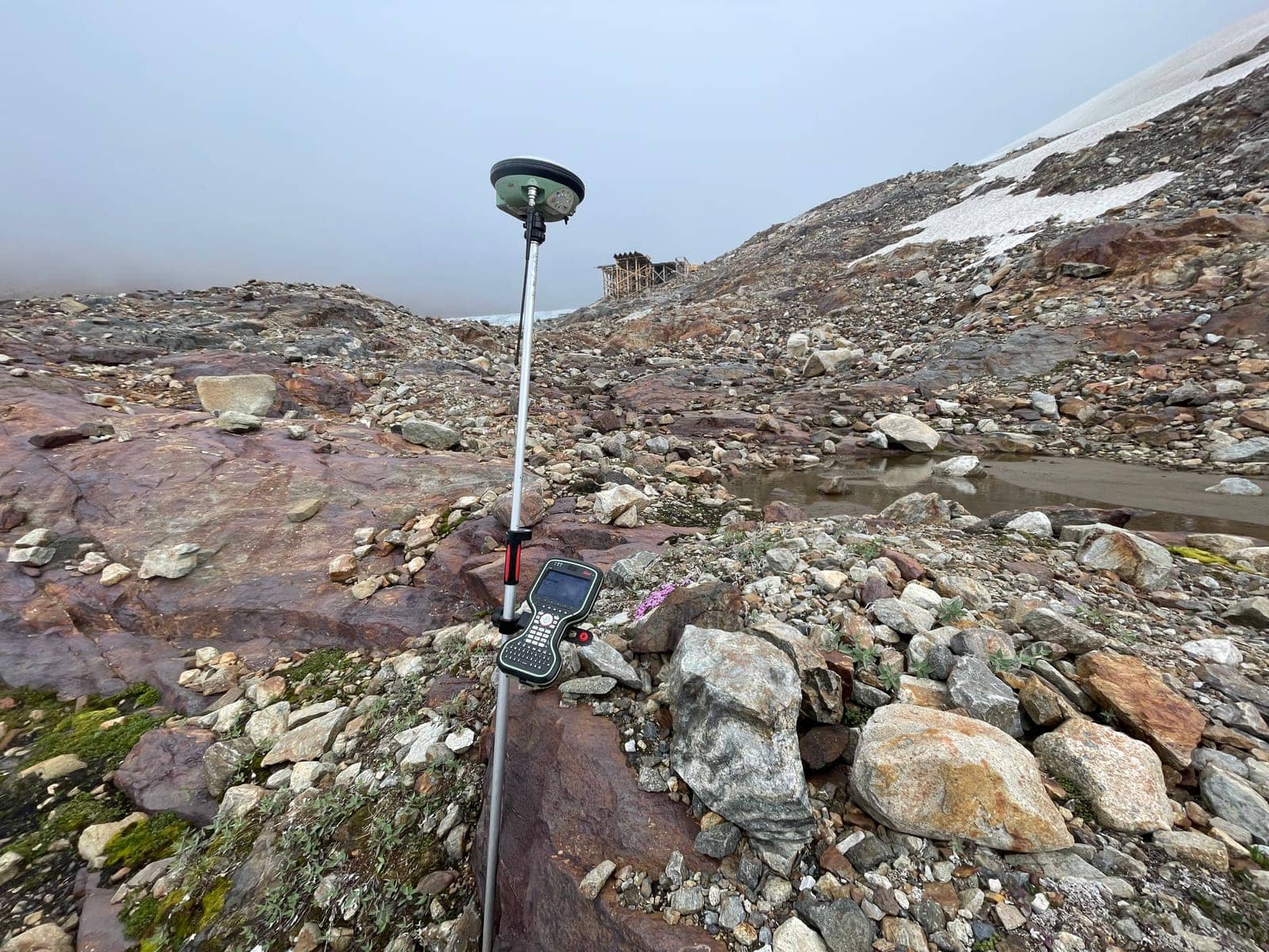
Working this ground is as much logistics as measurement: weather windows, helicopter staging, equipment that has to run cold and wet. PCI crews survey exploration grids, historic workings, access routes and terrain models in the alpine, and drone LiDAR reaches the slopes nobody should be walking.
Reclamation and closure
Every mine in the north ends in a reclamation plan, and reclamation is survey work: as-built surfaces of covers and channels, volumes of material placed, and repeat monitoring that shows the ground is doing what the closure plan says it should. The same control network that built the mine closes it out.Working in the territories of many Nations
PCI Surveys is First Nations-owned. Mining projects across northern BC and the Yukon operate in the territories of many Nations, and most carry participation commitments. On those projects PCI delivers a defined technical scope, survey and geomatics done properly, not a name on a proposal. More on our First Nations partnerships page.Mining survey services
GNSS control networks · topographic and terrain surveys · stockpile, waste dump and pit volumes · construction layout for mine infrastructure · grade control staking · as-built surveys · drone photogrammetry and LiDAR · orthophotos and surface models · settling pond and water management surveys · reclamation and closure surveys.
Related: mining surveying in northern BC, mining surveying in the Yukon, drone LiDAR in the Yukon, the mining surveying service page, and the coverage map.
Get a price for mining survey work
Tell us the location, the scope and the timing, and if the site is off the road network, say so and we will plan the mobilization into the quote. Outline the area on the map or attach the mine plan.Request a quote or call the office nearest your project. Crews are out seven days a week, 6 a.m. to 7 p.m.


