
September 4, 2026 · LiDAR, Drone Surveyor, Yukon Surveyor
Drone LiDAR Surveying in the Yukon
Most of the territory has no road to it, no cell signal on it and a survey season measured in weeks. Drone LiDAR is how it gets mapped anyway.
A territory that outruns ground crews
The Yukon is bigger than most countries and almost none of it is walkable in a working day. Creek valleys choked with willow, burned timber laced with deadfall, alpine basins a helicopter ride from the nearest road: ground that would take a survey crew weeks to cover on foot, if it could be covered at all.A LiDAR-equipped drone flies it in hours. PCI Surveys flies drone LiDAR across the Yukon from our Whitehorse office, from placer valleys and exploration ground to road corridors and community sites, and delivers survey-grade terrain models of ground nobody had to walk.
Why LiDAR, not just photos
Photo-based drone mapping is excellent on open ground, and we fly plenty of it. But a camera cannot see through trees, and most of the Yukon that matters to anyone is under trees.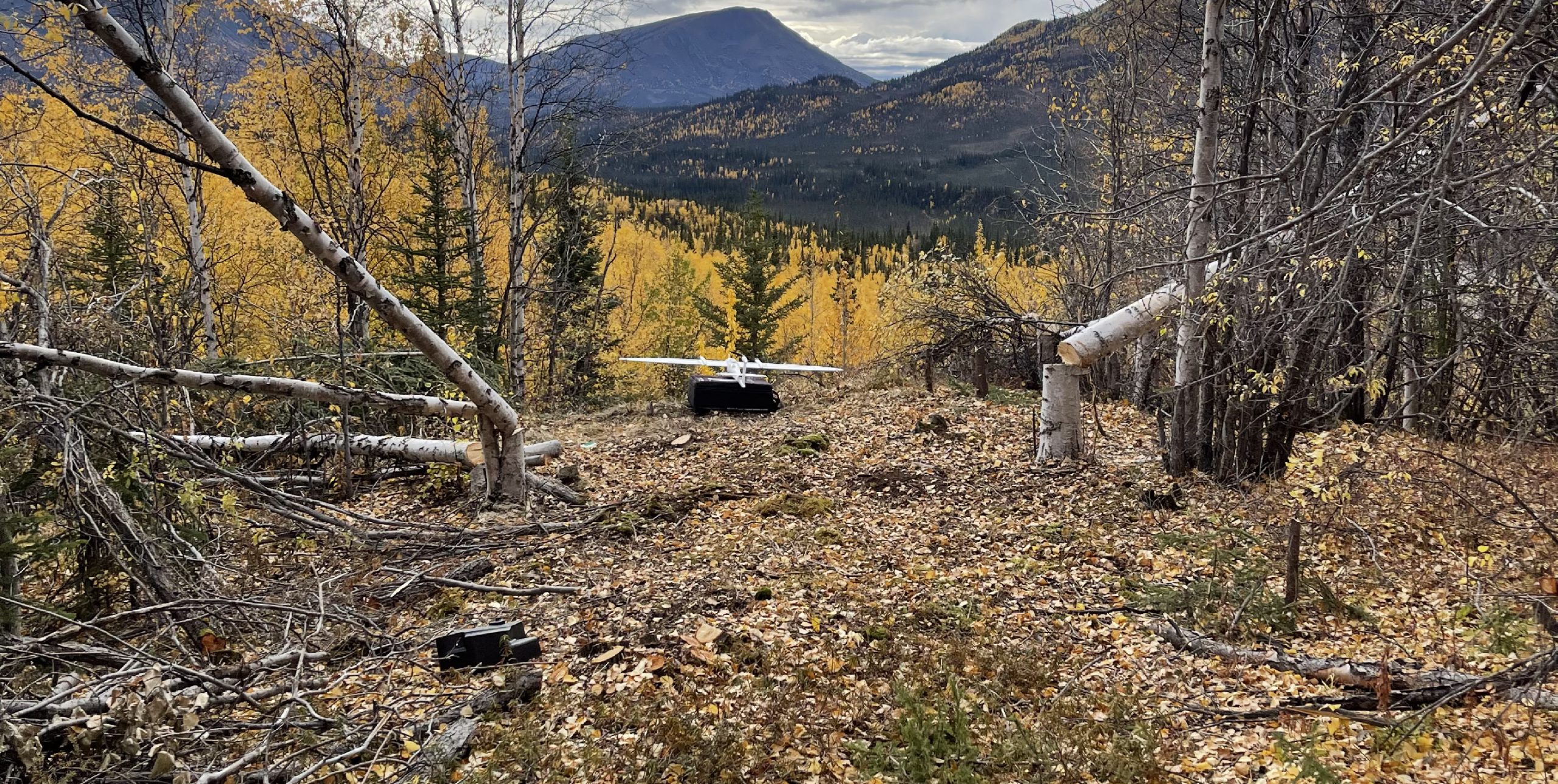
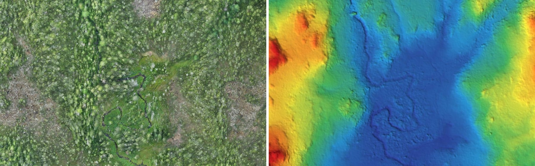
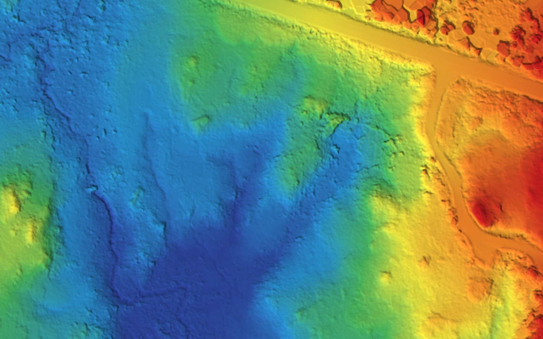
LiDAR measures the ground directly. Hundreds of thousands of laser pulses a second rain into the canopy, and enough of them slip through the gaps to return from the actual dirt. The result after classification is a bare-earth terrain model of a forested valley: the surface engineers and geologists actually need, stripped of every tree that hid it.
The pair below is the same ground from the same PCI flight: the orthophoto on the left is what the camera saw; the bare-earth model on the right is what the LiDAR measured underneath it: the drainage channels, the old road grade and the low ground the willows were hiding.
What the point cloud holds
A classified LiDAR point cloud is not a picture of the ground. It is the ground: millions of measured points, each with a coordinate and an elevation good enough to design from.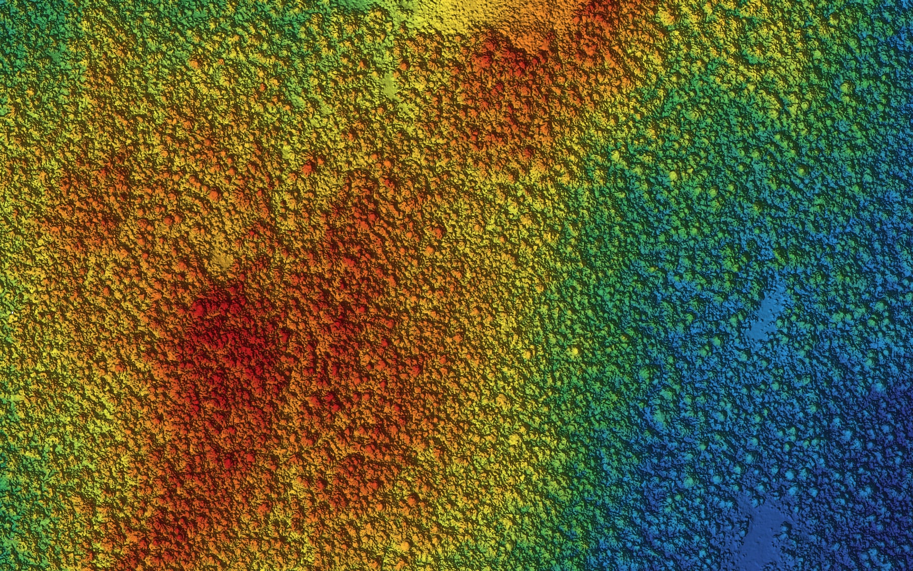
From that one dataset come the deliverables a project runs on: bare-earth surfaces, one-metre or half-metre contours, cross-sections, drainage networks, canopy heights, and design-ready surfaces for Civil 3D. Fly once, deliver many times.
Where it earns its keep in the Yukon
Placer country. A LiDAR flight over a placer operation captures the cuts, the stockpiles, the settling ponds and the undisturbed ground in one pass: volumes for the season and a base surface for the water licence, without stopping the plant.
Exploration ground. Before a drill program, LiDAR terrain answers the access questions: where a road can climb, where a pad can sit, what the creek crossings look like, all before anyone mobilizes a machine.
Corridors and communities. Road alignments, flood-prone townsites, airstrips and utility corridors all need terrain that is current and accurate. A drone flight delivers it at a fraction of the cost of crewed aircraft, on a schedule the weather actually allows.
Getting there is half the job
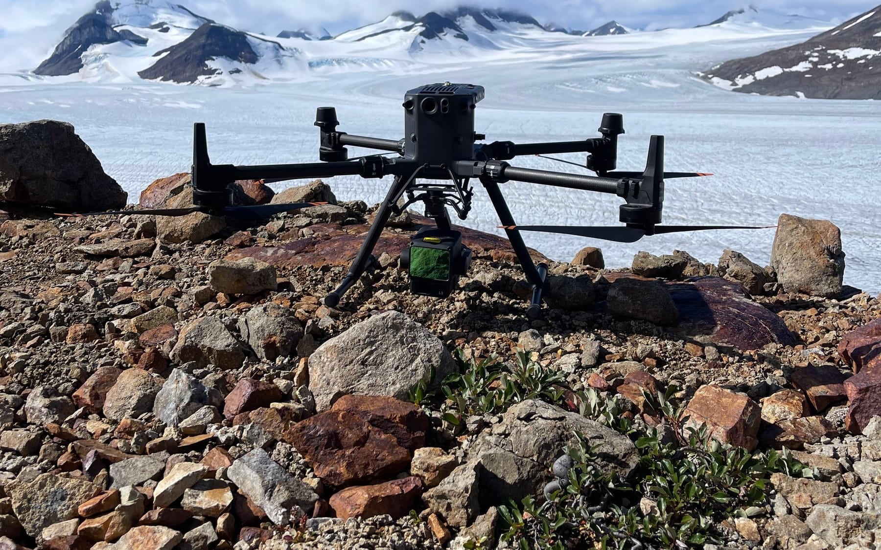
The photograph at the top of this post is a LiDAR drone staged on a rock ridge with a glacier behind it. It did not drive there.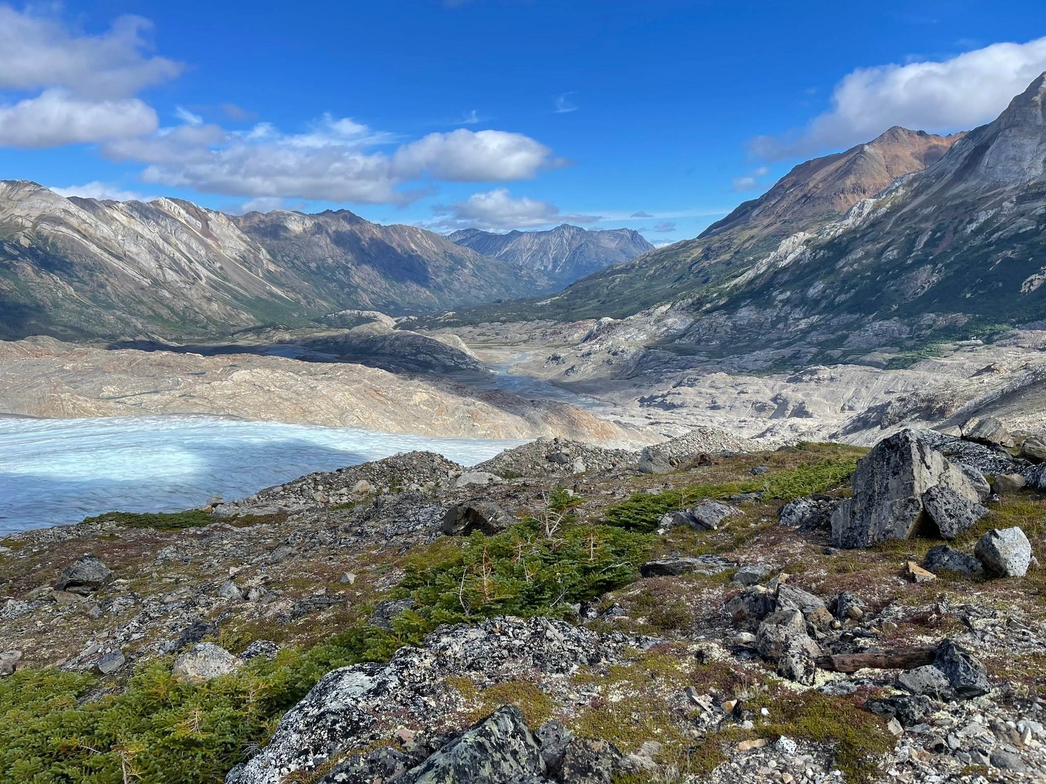
Flying the Yukon means planning the mobilization with the mission: truck to the end of the road, helicopter or boat past it, batteries and base stations that run all day in cold air, and weather windows used the hour they open. PCI plans that logistics chain as part of the scope. It is priced in, not discovered later.
Control makes it survey-grade
A LiDAR flight without ground control is a pretty picture. What makes it a survey is the control under it.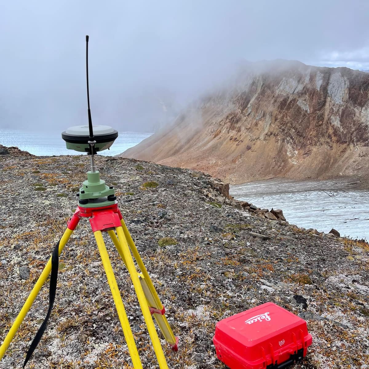
PCI sets GNSS base stations and checkpoints on every LiDAR project, ties the flight to published control, and validates the finished surface against independently measured points. The accuracy statement in our deliverable is tested, not assumed.
See a real point cloud
The fastest way to understand LiDAR is to fly some. Our interactive LiDAR demo puts 2.6 million measured ground points from an actual PCI drone flight in your browser: orbit it, zoom it, and see exactly what a delivered point cloud looks like.Working in the territories of many Nations
PCI Surveys is First Nations-owned. Projects across the Yukon operate in the traditional territories of many Nations, and on projects carrying participation commitments PCI delivers a defined technical scope, flown, controlled and delivered properly. More on our First Nations partnerships page.Drone LiDAR services in the Yukon
Drone LiDAR acquisition · bare-earth terrain models and contours · classified point clouds · drone photogrammetry and orthophotos · placer and earthworks volumes · corridor and access-route terrain · GNSS control and checkpoint validation · Civil 3D-ready surfaces.
Related: drone LiDAR in the Yukon, the drone LiDAR service page, mining surveying in the Yukon, our mining surveying post, and the coverage map.
Get a price for a LiDAR flight
Outline the area on the map, tell us what deliverables you need and when, and if the site is past the end of the road, say so and the mobilization gets planned into the quote.Request a quote or call the Whitehorse office. Crews are out seven days a week, 6 a.m. to 7 p.m.


