
Interactive Demo
Pixels you can measure
This is a real PCI drone orthophoto — flown, processed and georeferenced by our crew at 2 cm per pixel. Grab the measure tool and pull a dimension off it: driveway widths, building faces, stockpile footprints. That's the point of survey-grade mapping — the picture is data.
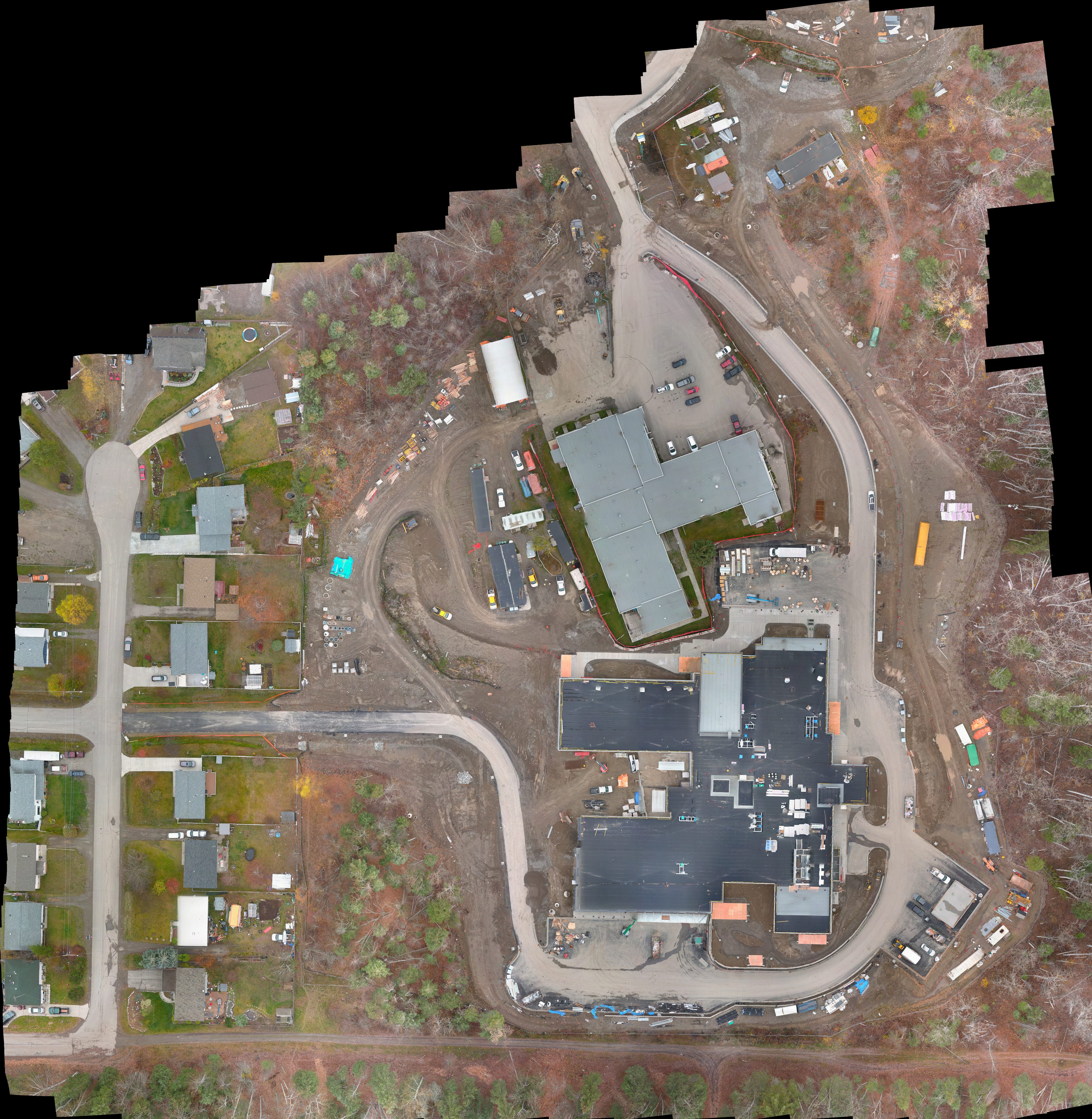
Full-resolution deliverables include georeferenced GeoTIFFs, CAD-ready planimetrics, contours and surface models — measurable in your own GIS or Civil 3D, not just on this page.