GPR Scanning in Prince George
Ground penetrating radar, utility investigation and subsurface scanning support for projects in Prince George and Northern BC.
GPR Scanning in Prince George & Northern BC
PCI Surveys provides GPR scanning, ground penetrating radar investigation and subsurface scanning support in Prince George and across Northern BC. We support contractors, excavators, engineers, environmental consultants, industrial sites, commercial properties, mines, homeowners and project managers who need more information about underground conditions before excavation, drilling, coring, trenching, construction or site investigation work begins.GPR scanning can help investigate unknown buried services, private utilities, concrete, voids, buried structures and other subsurface features where records are incomplete, drawings are missing or site conditions are uncertain.
What Is GPR Scanning?
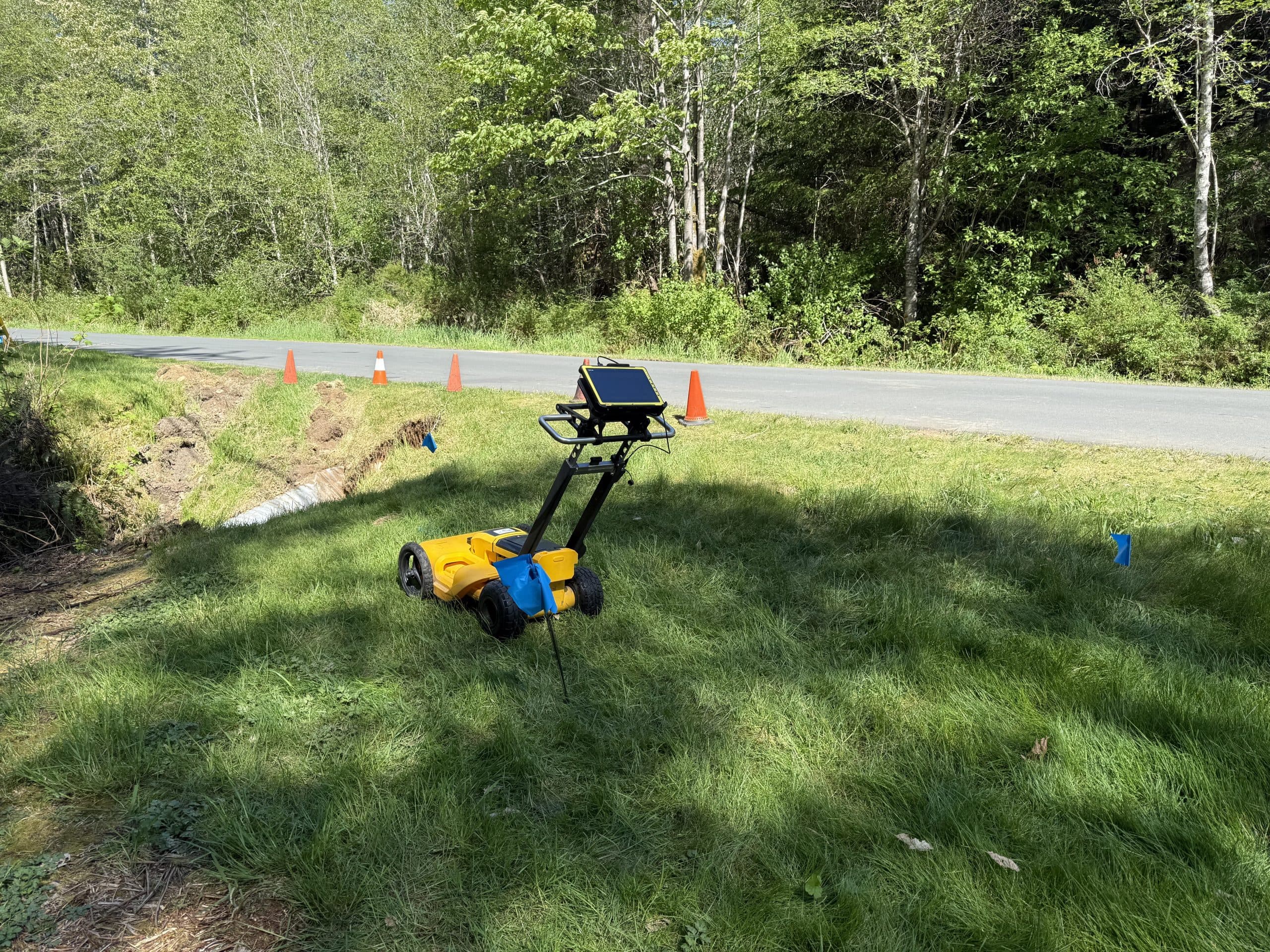
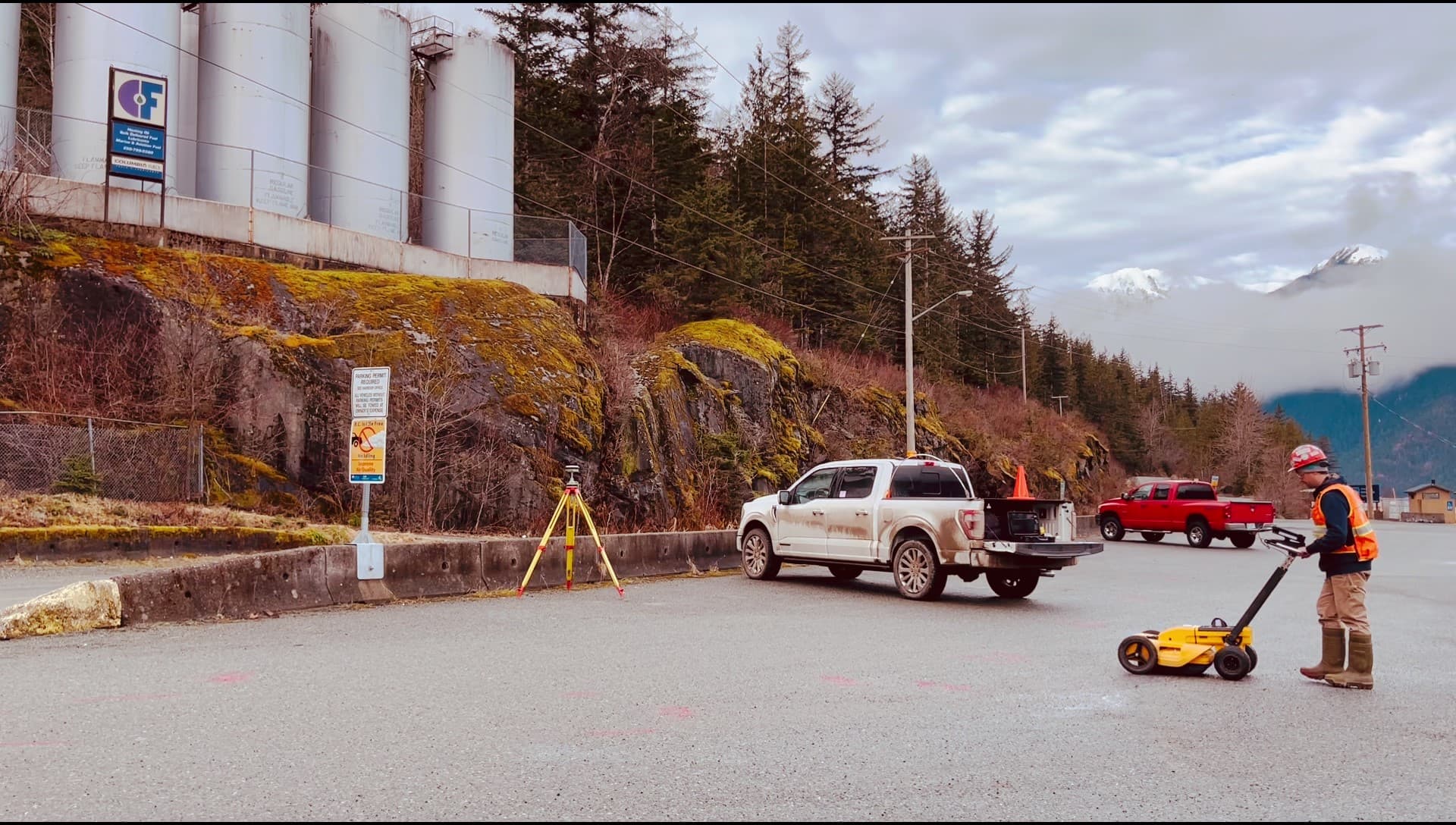
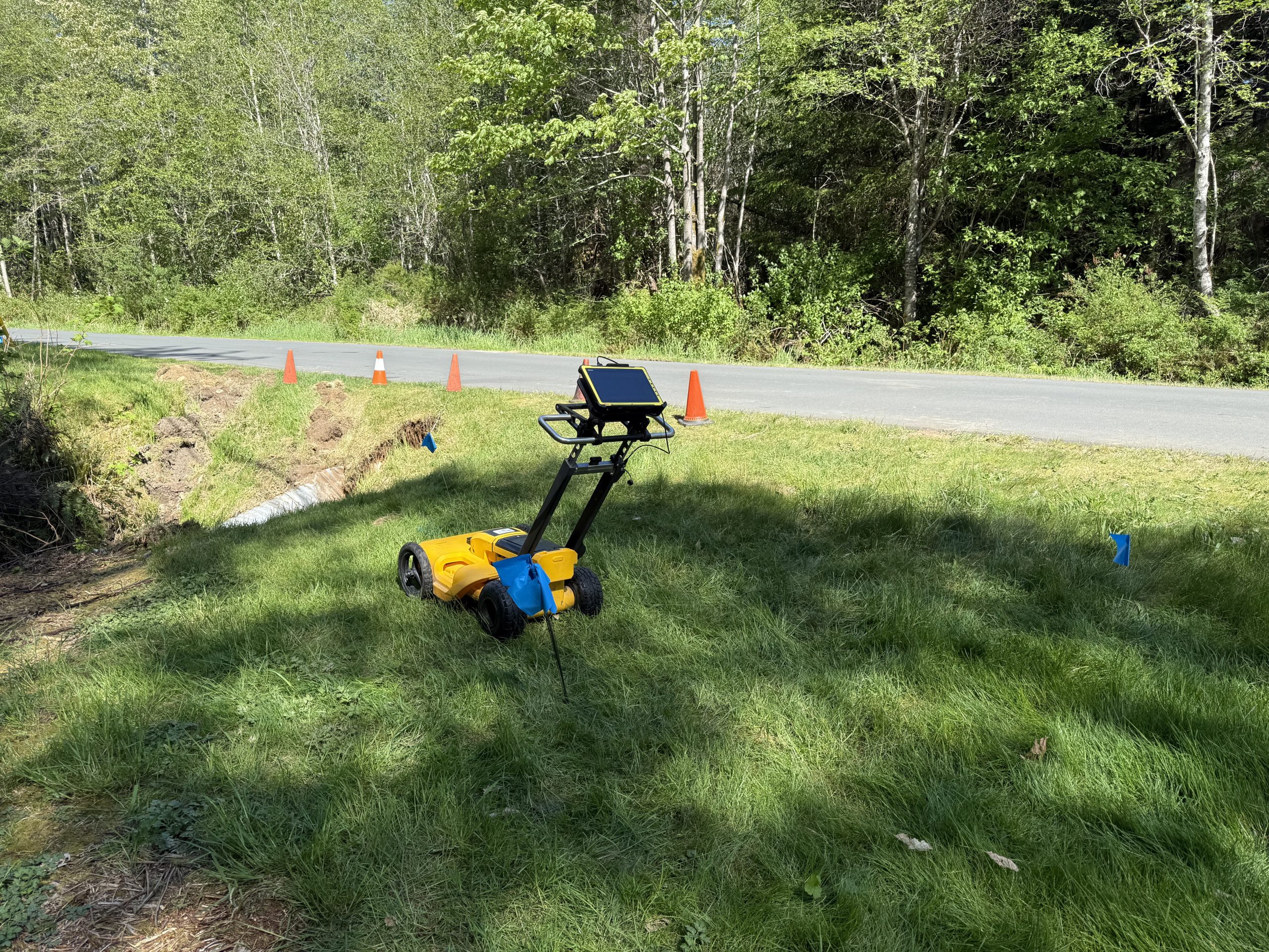
Ground penetrating radar uses radar signals to help identify changes below the surface. On construction, industrial, commercial and private sites, GPR can be used to support utility investigation, private line locating, concrete scanning support and general subsurface investigation.
GPR is often used when there may be unknown buried services, when a utility cannot be directly connected to, when plans are incomplete or when more information is needed before ground disturbance.
GPR Scanning for Utility Investigation
PCI Surveys uses GPR scanning to support underground utility investigation in Prince George and Northern BC. GPR may help identify utilities and buried features that are difficult to locate with standard electromagnetic locating methods alone.
GPR can be useful for investigating:
- Unknown buried utilities
- Private underground services
- Non-metallic utilities
- Buried pipes and conduits
- Storm, sanitary and drainage features
- Underground structures
- Voids or changes below the surface
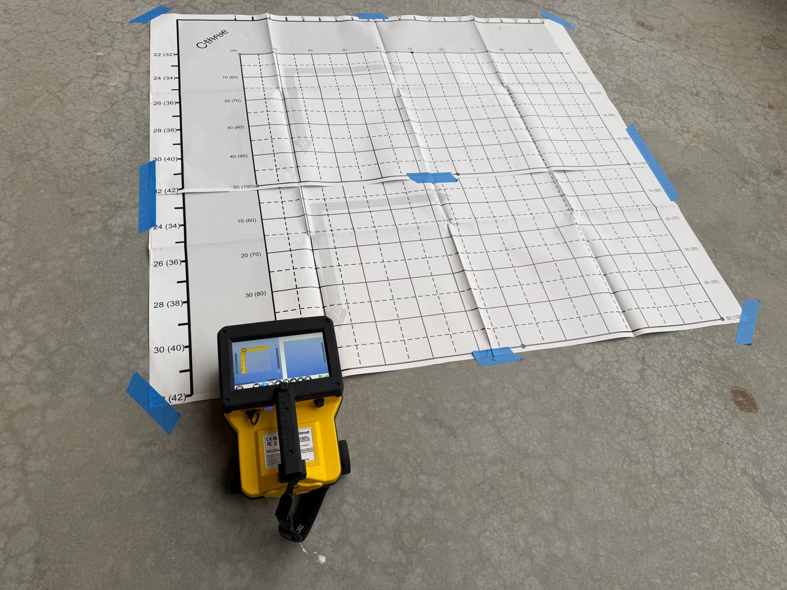
- Concrete slabs, rebar patterns and embedded features where applicable
- Areas where utility records or drawings are incomplete
GPR and Private Line Locating
GPR scanning is often used together with private line locating. Public utility locates may not identify privately owned underground services on private property, industrial sites, commercial sites, mine sites, acreages or within project limits. PCI Surveys can combine GPR with private locating methods to help reduce uncertainty before excavation or construction begins.
When site drawings are missing or incomplete, using both GPR and private line locating can provide a more complete investigation than relying on one method alone.
Learn more about private line locating in Prince George
When to Use GPR Scanning
GPR scanning can be useful before projects involving excavation, drilling, coring, trenching, grading, site servicing, construction or other work where unknown underground features may be present.
Common uses include:
- Utility investigation before excavation
- Private locating support
- Ground disturbance planning
- Industrial site investigation
- Commercial property investigation
- Concrete scanning support before coring or cutting
- Environmental and geotechnical investigation support
- Mine, reclamation and resource site support
- Locating unknown buried features where drawings are incomplete
- Checking areas before trenching, drilling or construction layout
GPR Limitations and Site Conditions
GPR is a valuable investigation tool, but it does not find everything in every condition. Results depend on soil type, moisture, clay content, surface conditions, depth, material type, congestion, access and the size or orientation of the buried feature.
For that reason, PCI Surveys uses GPR as part of a practical site investigation process. Where appropriate, GPR may be combined with electromagnetic locating, visual inspection, available drawings, surface features, access points and survey measurements.
GPR Scanning for Prince George Project Sites
PCI Surveys provides GPR scanning support for a wide range of Prince George and Northern BC project sites, including construction sites, commercial properties, industrial yards, resource projects, mine sites, environmental investigation areas, infrastructure corridors and private properties.
Northern BC projects may involve larger sites, older infrastructure, incomplete records, remote access and changing ground conditions. PCI Surveys provides practical field investigation support to help project teams make better decisions before work begins.
Areas Served
PCI Surveys provides GPR scanning in Prince George and surrounding Northern BC areas depending on scope, schedule and mobilization requirements.
- Prince George
- College Heights
- Hart Highlands
- Blackburn
- Beaverley
- Shelley
- Salmon Valley
- Hixon
- Vanderhoof
- Quesnel
- Mackenzie
- Fort St. James
- Fraser Lake
- Burns Lake
- Houston
- Smithers
- Terrace
- Kitimat
- Northern BC project sites
Related Prince George Services
- Prince George Service Area
- Private Line Locating in Prince George
- Construction Surveying in Prince George
- Drone LiDAR Surveying in Northern BC
- Topographic and As-Built Surveys in Prince George
- Mining and Reclamation Surveying in Northern BC
Why Choose PCI Surveys for GPR Scanning in Prince George?
- GPR, private line locating, surveying and drone LiDAR support from one field provider
- Experience supporting construction, industrial, commercial, mining, environmental and infrastructure projects
- Practical site investigation support before excavation, drilling, coring or ground disturbance
- Support for Prince George and regional Northern BC project sites
- Ability to combine GPR, locating and survey measurements when needed
- Indigenous-owned and operated
Frequently Asked Questions
Do you provide GPR scanning in Prince George?
Yes. PCI Surveys provides GPR scanning in Prince George and surrounding Northern BC areas for underground utility investigation, private locating support, concrete scanning support and subsurface investigation.
Can GPR find all underground utilities?
No. GPR is affected by soil conditions, moisture, depth, material type, surface conditions and access. It is a useful investigation tool, but it is not a guarantee that every buried feature or utility will be detected.
Can GPR be used with private line locating?
Yes. GPR is often used with private line locating to investigate underground utilities and unknown buried features where drawings are incomplete or where electromagnetic locating alone may not provide enough information.
Can you scan concrete with GPR?
Yes. GPR can be used to support concrete scanning where site conditions allow. It may help identify embedded features, rebar patterns, voids or other changes in concrete before coring, cutting or drilling.
Do you provide GPR scanning for industrial or mining sites?
Yes. PCI Surveys supports industrial, commercial, mining, reclamation, environmental and infrastructure project sites in Prince George and Northern BC depending on scope, access and schedule.
Request GPR Scanning in Prince George
If you need GPR scanning, ground penetrating radar, private line locating, utility investigation or survey support in Prince George or Northern BC, contact PCI Surveys with your project location, scope of work and schedule.
PCI Surveys - Prince George
1299 3rd Avenue
Prince George, BC
V2L 3E6
Telephone: (778) 764-1626
Email: bc@pcisurveys.ca