
Technologies like 3D laser scanning and drone mapping are revolutionizing the accuracy and speed of mining surveys.
What advancements in technology are impacting mining survey?
PCI Services
How PCI Can Help
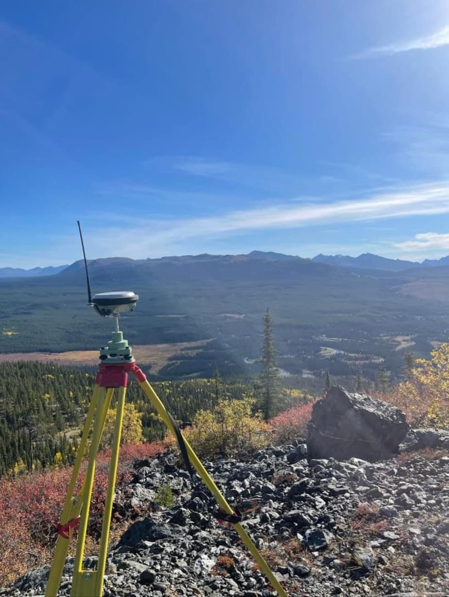
Mining Surveying
Survey support for mines and exploration projects — control, volumes, LiDAR topography, stakeouts and reclamation documentation in demanding terrain.
Learn More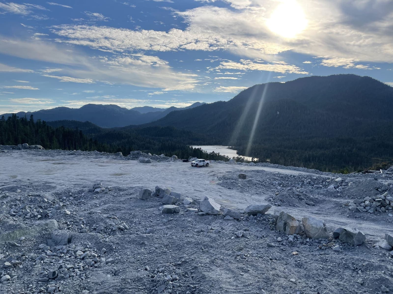
Earthworks & Volume Surveys
Stockpile, cut-and-fill and progress volumes measured properly — defensible numbers for payment, planning and inventory.
Learn More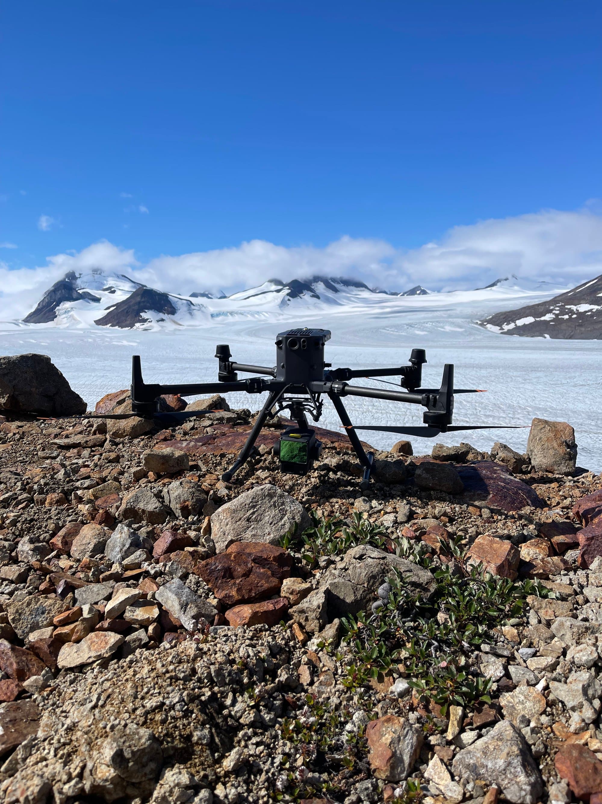
Drone LiDAR
Aerial LiDAR that maps the ground even under trees — bare-earth terrain models for forested, remote and complex sites.
Learn MoreReady to get started?
Describe your project and watch your price appear. Most jobs can be quoted, booked and paid online in minutes, any hour, any day.
Prefer to talk? 6 a.m. – 7 p.m., 7 days a week.
- Prince George(778) 764-1626
- Edmonton(587) 400-1260
- Vancouver(604) 800-8708
- Whitehorse(867) 322-3453