April 29, 2026 · Construction Surveys, Surveyor In Prince George, Surveyors in Northern BC
Construction Surveying Services in Northern BC
Serving Prince George, Terrace, Kitimat, Smithers, Prince Rupert, and projects north to the Yukon border
Construction Surveying Across Northern British Columbia
Construction projects across Northern BC do not always fit into neat city boundaries. Work moves between Prince George, Terrace, Kitimat, Smithers, and Prince Rupert, often with remote sites in between. Having surveying support that can follow that work matters more than being tied to one location.PCI Surveys provides construction surveying services throughout this corridor, supporting commercial, industrial, and resource projects across Northern British Columbia.
Working from Prince George to Prince Rupert and Beyond
Each area comes with different conditions. Prince George projects are often more established and accessible, while Terrace and Kitimat tend to involve larger industrial or infrastructure work. Closer to Prince Rupert, sites can be tighter, weather plays more of a role, and logistics become more important.
Further north, toward the Yukon border, projects are often remote. Access, terrain, and timing all affect how surveying is carried out.
The approach stays consistent: establish solid control, complete accurate layout, and provide ongoing support as the project moves forward.
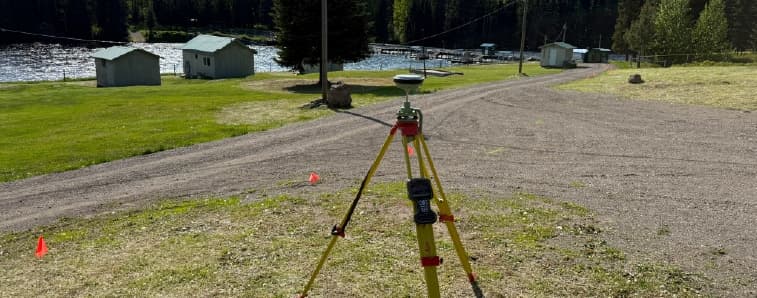
Construction Layout That Matches the Site
Construction layout in Northern BC needs to be practical. Crews are working in real conditions, not perfect ones, so layout has to be clear and reliable.
Typical construction surveying services include:
- Gridlines and building layout
- Footings, piles, and anchor bolts
- Structural layout for walls and columns
- Sidewalks, curbs, and site services
- Elevation checks and grade verification
Whether it is a commercial build in Prince George or an industrial project near Kitimat, the goal is the same: keep everything lined up so work can continue without delays.
Elevation Control and Ongoing Verification
Ground conditions in Northern BC can shift depending on weather, soil, and site activity. That is why elevation control is not a one-time task.
Regular checks help confirm that:
- Footings are at the correct elevation
- Slabs are poured to specification
- Grades match the design
- Control points remain reliable throughout the project
Pre-pour and post-pour verification helps catch issues early, before they become more expensive to fix.
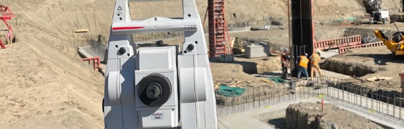
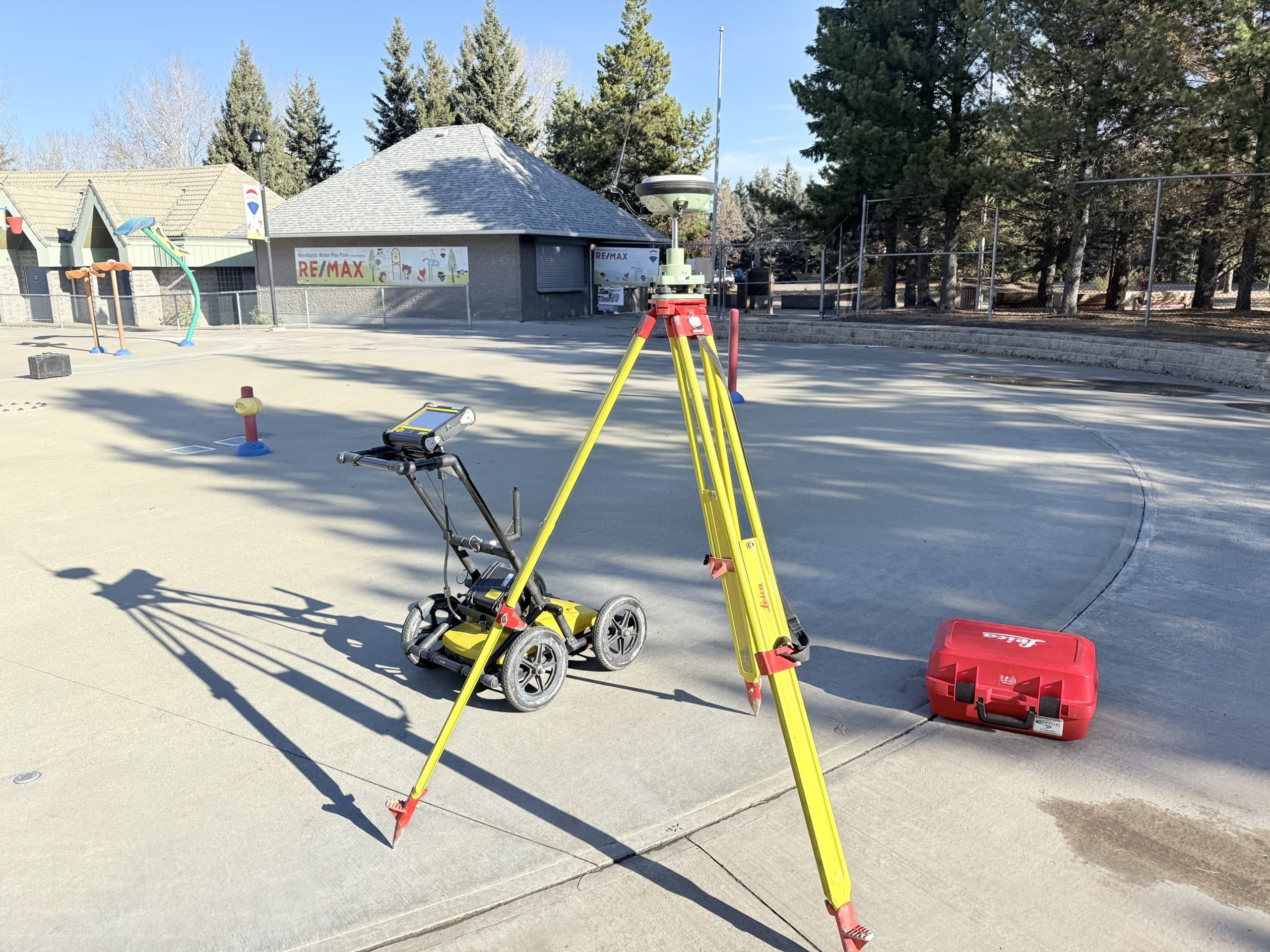
Supporting Remote and Industrial Projects
Many projects between Prince George and Prince Rupert, and north toward the Yukon border, involve industrial or resource work. These sites often require a mix of surveying methods depending on access, scale, and accuracy requirements.
GNSS, total station work, drone surveys, and LiDAR can all be used depending on what the site calls for. On larger or remote sites, drone and LiDAR surveys are often used for:
- Terrain modeling
- Construction progress tracking
- Volume calculations
- Site planning and access review
- Existing conditions documentation
This helps provide a clear picture of the site without slowing down operations.
Keeping Projects Moving Across the Region
One of the biggest challenges in Northern BC is coordination. Projects move fast, and delays can have a ripple effect.
Construction surveying helps keep the process simple by providing clear layout on the ground, reliable control points, and consistent communication with crews and project managers.
When layout is accurate and easy to follow, other trades can continue their work without second guessing measurements.
Construction Surveying Services in Northern BC
From Prince George through Terrace, Kitimat, Smithers, and Prince Rupert, and north toward the Yukon border, construction projects rely on accurate surveying to stay on track.
PCI Surveys supports projects across this region with practical, field-focused surveying services that match the conditions on site. Whether the work involves commercial construction, industrial development, mining, environmental, or remote resource projects, consistent layout and reliable data help keep everything moving the way it should.