March 9, 2024 · Surveyors in Yukon
DGPS AND RTK SURVEYING SERVICES THROUGHOUT BC AND YUKON
Discover unparalleled accuracy with PCI Surveys' DGPS and RTK surveying solutions for mining exploration. Our expertise in geophysical surveys and drilling layouts ensures precise data in BC and Yukon.
DGPS and RTK Surveying Services for Mining and Mining Exploration
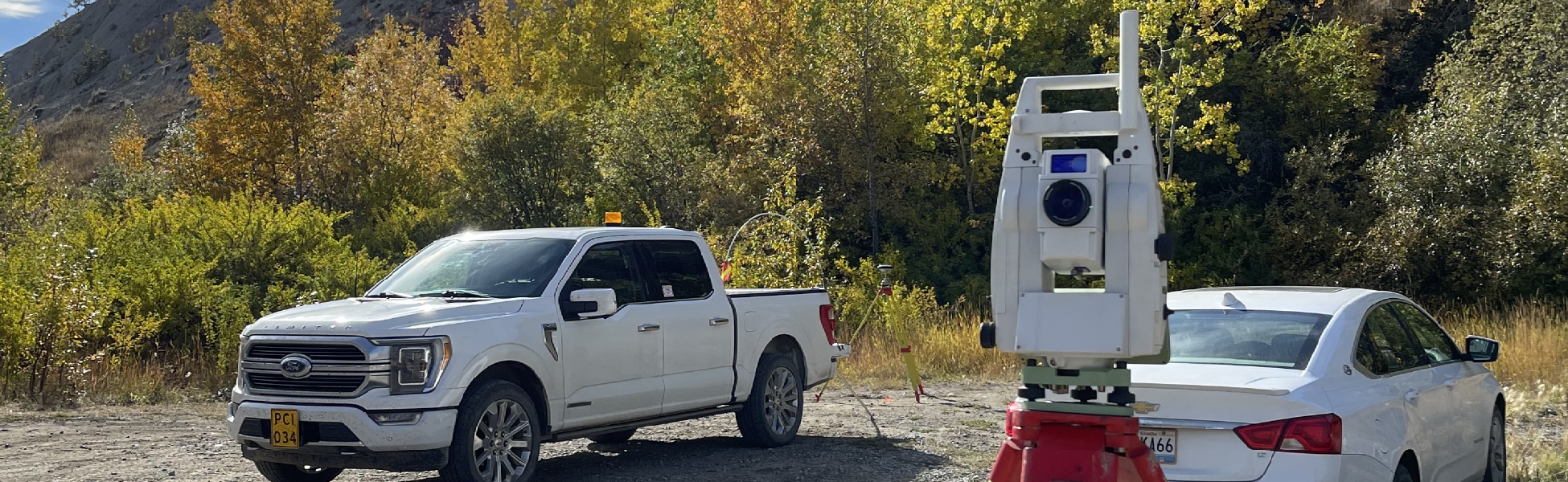
At PCI Surveys, we understand the critical role that accurate and reliable surveying plays in the success of mining exploration projects. Our Differential Global Positioning System (DGPS) and RTK surveys are specifically designed to meet the unique needs of the mining industry in British Columbia and Yukon, providing precise and dependable data for exploration and development.
The Importance of DGPS in Mining Exploration
DGPS and RTK technology enhances the accuracy of traditional GPS by correcting satellite signal errors, resulting in highly accurate positioning data. This is essential in mining exploration, where even small discrepancies can lead to significant misinterpretations of geological data.
Common Types of Mining Exploration DGPS Surveys
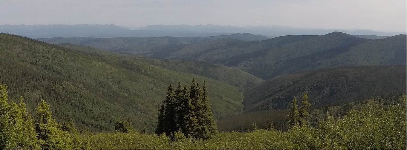
- Topographic Surveys: These surveys provide detailed information about the terrain, including elevation changes and natural features, which is crucial for planning exploration activities and assessing potential mining sites.
- Geophysical Survey Layout: DGPS is used to precisely layout grid lines and reference points for geophysical surveys, ensuring accurate data collection for identifying mineral deposits.
- Drilling Program Layout: Before drilling commences, DGPS is employed to accurately position drill sites and track the location of boreholes, ensuring that drilling targets are precisely reached.
- Volume Calculations: DGPS surveys are instrumental in calculating stockpile volumes and excavation quantities, providing valuable data for resource estimation and operational planning.
How We Conduct Exploration Survey Layout for Geophysical Surveys and Drilling Programs
At PCI Surveys, we follow a meticulous process to ensure the highest accuracy in our exploration survey layouts:
- Pre-Survey Planning: We work closely with our clients to understand their specific requirements and objectives, allowing us to tailor our surveying approach accordingly.
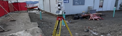
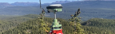
- Field Data Collection: Our experienced surveyors use state-of-the-art DGPS equipment to collect precise positional data in the field, following predefined grid patterns and reference points.
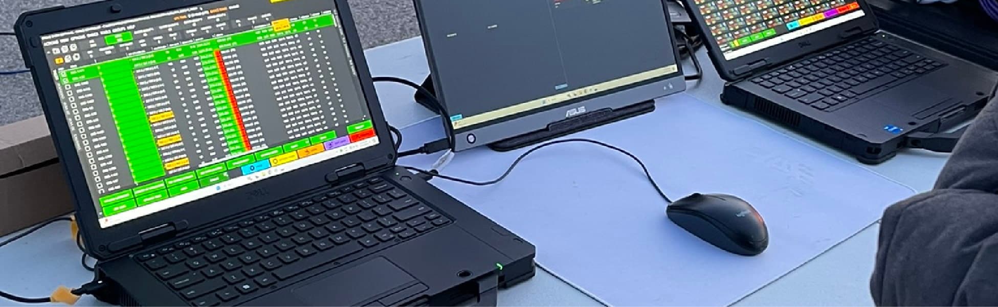
- Data Processing and Analysis: The collected data is processed and analyzed using advanced software to produce accurate and detailed maps and reports.
- Quality Assurance: Throughout the survey process, we implement strict quality control measures to ensure the integrity and accuracy of the data.
- Client Collaboration: We maintain open communication with our clients, providing regular updates and incorporating their feedback to ensure the final results meet their expectations.
In conclusion, PCI Surveys is dedicated to delivering top-quality DGPS and RTK surveys for mining exploration in British Columbia and Yukon. Our expertise and commitment to accuracy make us a trusted partner for mining companies seeking reliable surveying solutions. Contact us today to learn more about how we can support your exploration projects.