

Surveyor Prince George: Construction Surveying, Drone Mapping/LiDAR and Utility Locating
Looking for a reliable surveyor in Prince George? PCI Surveys provides construction surveying, topographic surveys, drone and LiDAR mapping, volume calculations, as-builts, site control, and private utility locating for construction, industrial, mining, civil, environmental, and development projects throughout Prince George and Northern BC.
PCI Surveys helps contractors, engineers, consultants, developers, property owners, and project managers get accurate field data and practical deliverables for their projects. Whether you need construction layout, existing ground information, underground utility locating, drone mapping, or as-built data, our team can help.
Surveying Services in Prince George
Prince George is a major service centre for construction, industrial work, forestry, mining, transportation, utilities, and regional development across Northern British Columbia. Projects in the area can range from city construction sites to rural properties, industrial yards, access roads, subdivisions, environmental sites, and remote project locations.
PCI Surveys provides accurate, useful survey information for these types of projects. Our focus is on clear communication, safe field procedures, dependable measurements, and deliverables that contractors and project teams can actually use.
Construction Surveyor Prince George
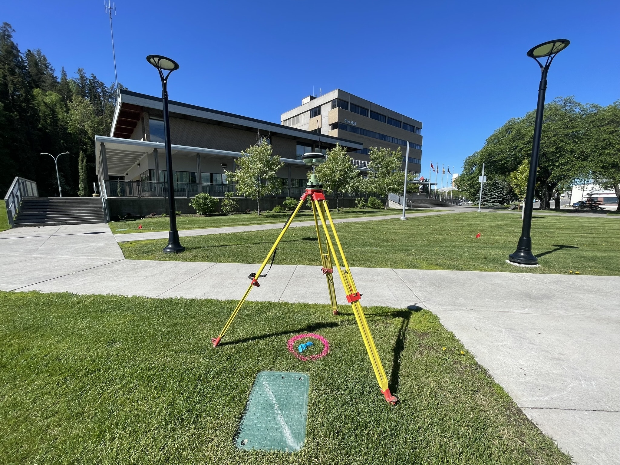
Construction surveying is one of the most important parts of keeping a job moving. PCI Surveys provides construction layout, site control, grade checks, staking, as-built measurements, and field support for civil, commercial, industrial, and residential projects in Prince George.
Accurate layout helps reduce mistakes, avoid rework, and keep crews building in the right location and at the right elevation. Whether the project involves roads, utilities, buildings, drainage, pads, ditches, curbs, or site grading, good survey control helps everyone work from the same information.
Construction survey services can include:
- Site control and benchmark setup
- Building and structure layout
- Road, curb, sidewalk, and civil layout
- Storm, sanitary, water, and utility layout support
- Grade checks and elevation verification
- As-built surveys for completed work
- Volume measurements and progress quantities
- Surface files, CAD files, and field reports
Topographic Surveys in Prince George
A topographic survey gives engineers, designers, contractors, and owners a clear picture of existing site conditions. This can include ground elevations, slopes, drainage, structures, roads, driveways, fences, ditches, trees, visible utilities, and other important features on the property.
Topographic surveys are commonly used for design, development planning, grading, drainage review, environmental reporting, site improvements, construction planning, and project records.
PCI Surveys can collect the field data and prepare the survey deliverables needed to support the next stage of your Prince George project.
Drone Surveying and LiDAR Mapping in Prince George
Drone mapping and LiDAR can be a strong option for larger sites, uneven terrain, industrial yards, gravel areas, environmental sites, stockpiles, access roads, and remote locations around Prince George.
Instead of relying only on ground shots, drone and LiDAR data can capture a wider view of the site and produce useful deliverables for planning, design, estimating, progress tracking, and reporting.
Drone and LiDAR deliverables may include:
- High-resolution orthophotos
- Point clouds
- Digital elevation models
- Contours and surface files
- Cut and fill calculations
- Stockpile volumes
- Site progress mapping
- CAD-compatible files
Private Utility Locating in Prince George
Before digging, drilling, trenching, hydrovac work, fence posts, landscaping, or construction, it is important to understand what may be underground. Public utility locates are important, but they may not identify every private line on a property.
Private utilities can include site lighting, private power feeds, communications lines, irrigation, water services, sewer services, storm lines, gas lines, and other buried infrastructure installed after the main utility connection.
PCI Surveys provides private utility locating in Prince George for contractors, property owners, commercial sites, industrial yards, and project managers who want to reduce risk before ground disturbance.
Private utility locating can help before:
- Excavation and trenching
- Fence post installation
- Drilling and coring
- Hydrovac work
- Utility repairs
- Site redevelopment
- Parking lot or yard construction
- Industrial maintenance work
Surveying for Construction, Mining, Industrial and Environmental Projects
Prince George projects often involve more than one type of work. A site may include construction, environmental reporting, access roads, industrial infrastructure, forestry-related work, mining support, civil upgrades, or underground utility coordination.
PCI Surveys supports clients who need practical survey data across these types of projects. We work with contractors who need layout, consultants who need existing ground information, owners who need project records, and project teams that need accurate mapping before making decisions.
Useful Survey Deliverables
Good survey work is not just about collecting points. The final files need to be useful. PCI Surveys can provide deliverables that fit your project, including CAD files, surface files, orthophotos, point clouds, reports, coordinates, elevations, volume summaries, and field sketches.
Common survey deliverables include:
- PDF survey drawings
- CAD files
- CSV point files
- Surface files
- Contours
- Orthophotos
- Point clouds
- Volume reports
- As-built records
Why Choose PCI Surveys as Your Prince George Surveyor?
When you search for a surveyor in Prince George, you need more than someone who can show up with equipment. You need a team that understands field work, construction timelines, remote sites, practical deliverables, and the importance of clear communication.
PCI Surveys focuses on providing accurate data, useful files, and dependable field support. Our work is built around helping contractors, consultants, owners, and project managers make better decisions and keep their projects moving.
Areas We Serve Around Prince George
PCI Surveys provides survey and mapping services in Prince George and surrounding Northern BC areas. Depending on the project, we can support work in nearby communities, industrial areas, resource sites, rural properties, and regional project locations.
PCI Surveys provides surveying and mapping services in Prince George and along the Northern BC corridor toward the west, including Vanderhoof, Fort St. James, Fraser Lake, Burns Lake, Houston, Smithers, Telkwa, New Hazelton, Hazelton, Terrace, Kitimat, Prince Rupert, and surrounding pipeline, utility, industrial, forestry, mining, and infrastructure project areas.
Local and Industry Resources for Prince George Projects
Prince George has an active construction, business, industrial, and resource-sector community. For clients planning work in the area, the following local and industry resources may be useful:
- City of Prince George Business Directory
- Prince George Chamber of Commerce Business Directory
- Northern Regional Construction Association
- BC Construction Association Regional Associations
- BC Road Builders & Heavy Construction Association
Frequently Asked Questions About Surveying in Prince George
Do you provide construction surveying in Prince George?
Yes. PCI Surveys provides construction surveying in Prince George, including layout, site control, grade checks, as-builts, and support for civil, commercial, industrial, and residential construction projects.
Can PCI Surveys provide drone mapping and LiDAR in Prince George?
Yes. PCI Surveys provides drone mapping and LiDAR services for Prince George projects, including orthophotos, point clouds, digital elevation models, contours, surfaces, and volume calculations.
Do you offer private utility locating in Prince George?
Yes. PCI Surveys provides private utility locating in Prince George for excavation, drilling, trenching, fence posts, hydrovac work, construction, and industrial projects.
What types of clients does PCI Surveys work with?
PCI Surveys works with contractors, builders, engineers, consultants, developers, property owners, industrial clients, environmental firms, and resource-sector project teams.
Can you provide CAD files and surfaces?
Yes. PCI Surveys can provide practical deliverables such as CAD files, CSV point files, surface files, contours, orthophotos, point clouds, volume reports, and PDF drawings.
Need a Surveyor in Prince George?
PCI Surveys provides construction surveying, topographic surveys, drone and LiDAR mapping, private utility locating, volume calculations, and as-built surveys in Prince George and Northern BC.
Contact PCI Surveys today to discuss your project, schedule field work, or request a quote.