
Geomatics & Construction Surveying
A surveying partner engineers and contractors trust
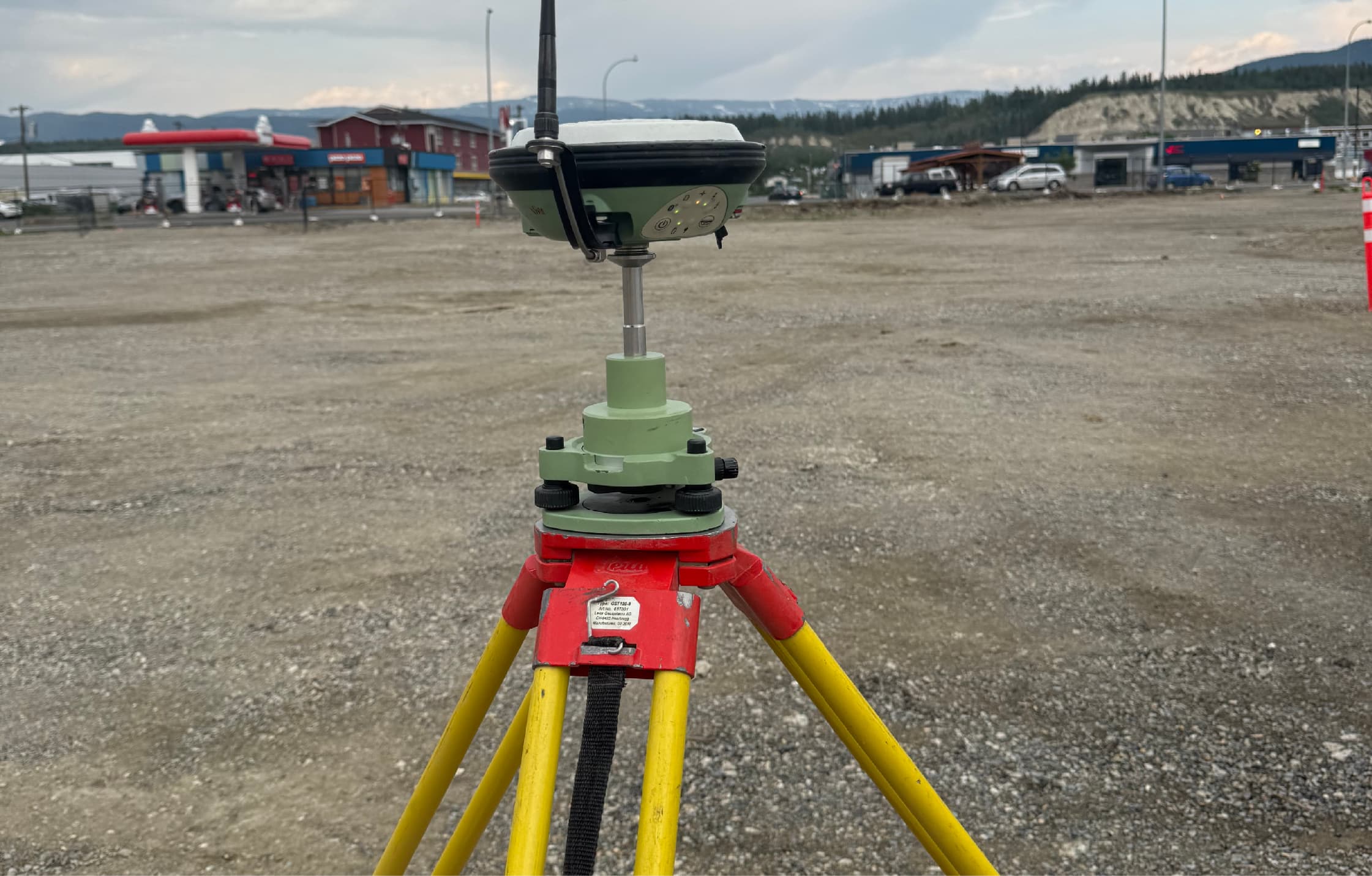
PCI Surveys provides construction, topographic, as-built, earthworks and mining survey services across British Columbia, Alberta and the Yukon — with crews, equipment and deliverables built for real project conditions.
Surveying Services
From first control point to final as-built
Every surveying service PCI provides, from site establishment through construction to closeout documentation.
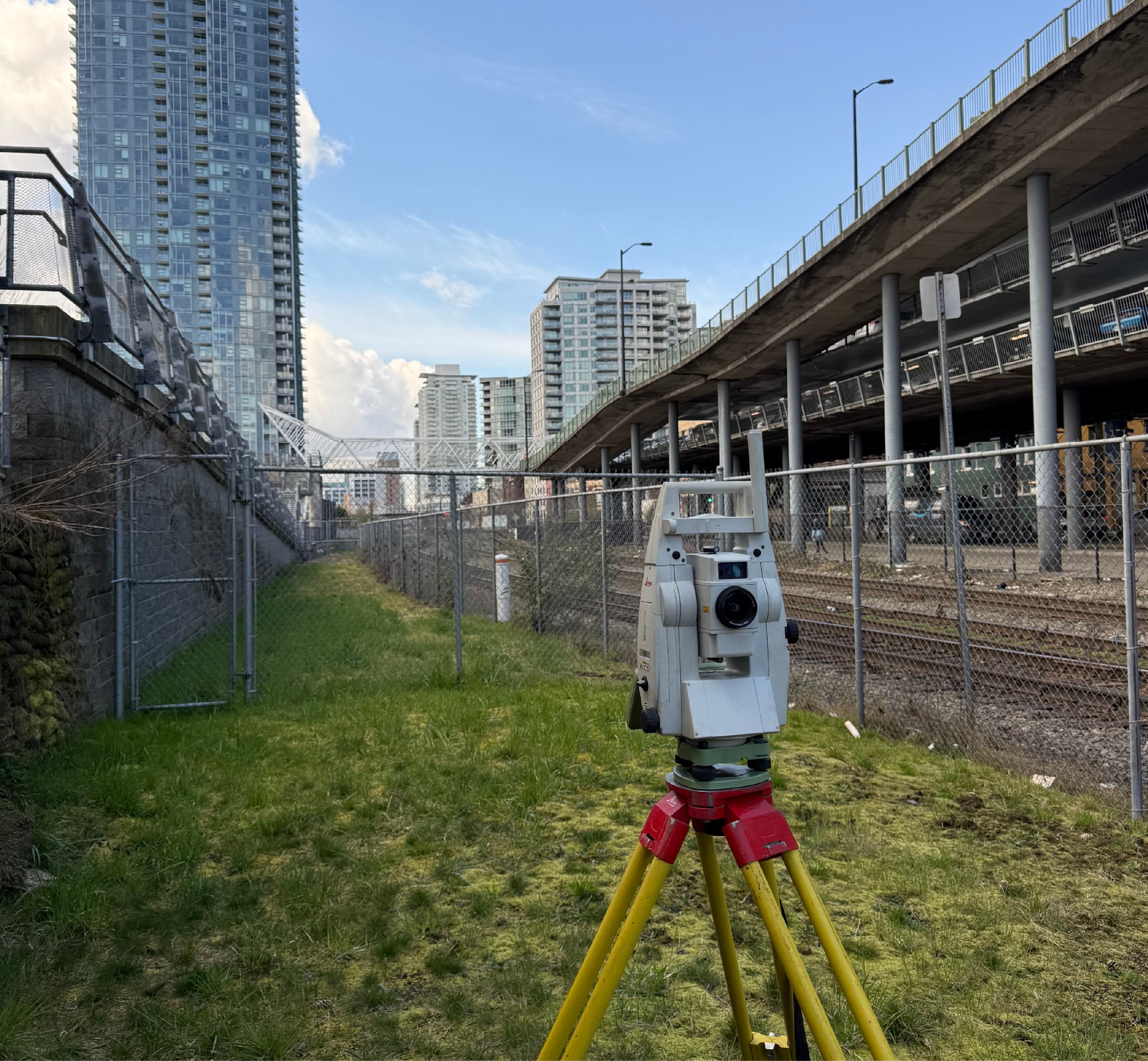
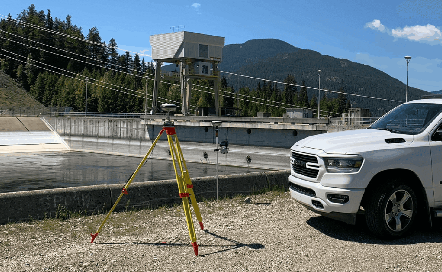
Construction Surveying
Layout, control, grades and as-builts for buildings, civil works and infrastructure — accurate field positioning that keeps construction moving.
Learn More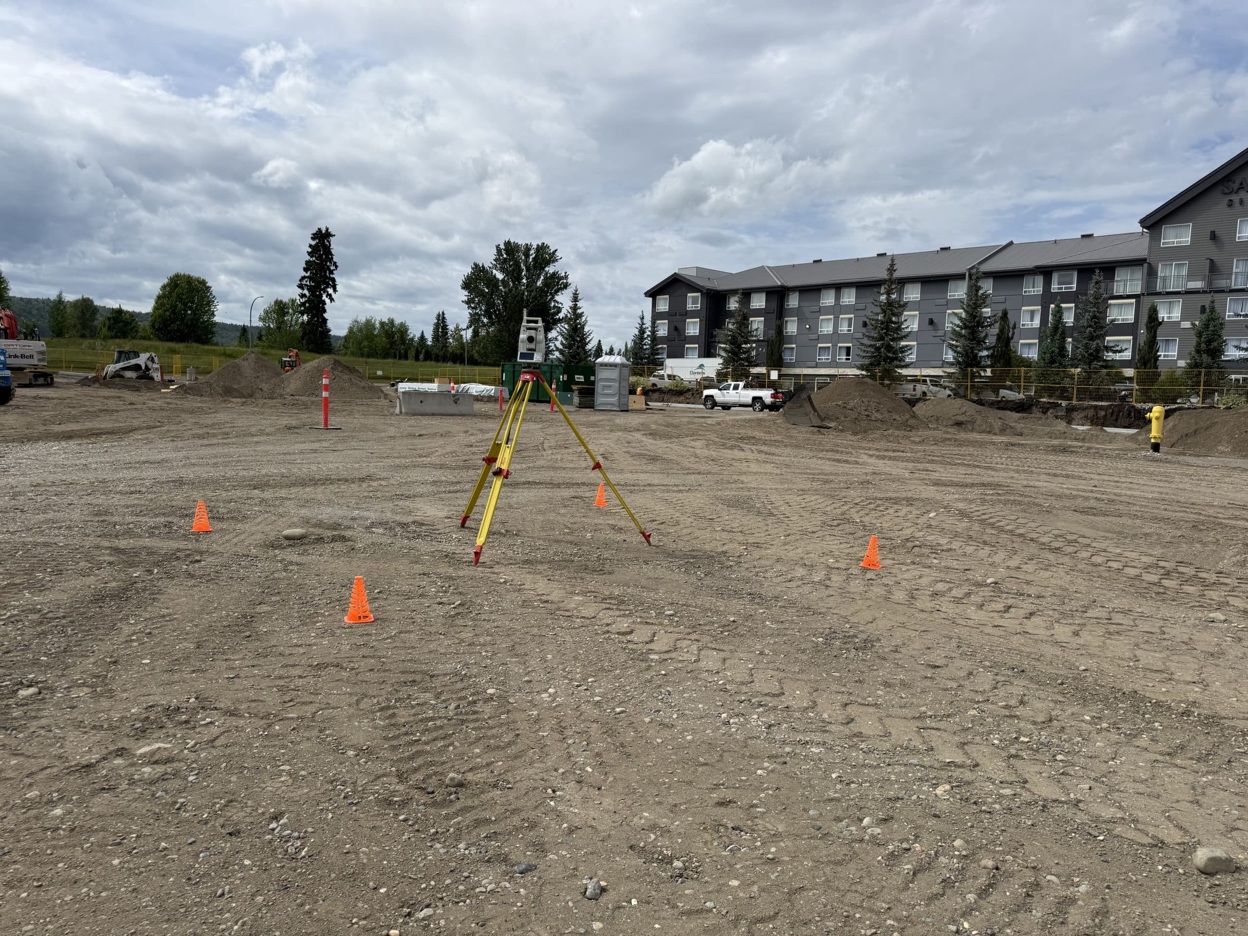
Construction Layout & Staking
Precise stakeout of buildings, gridlines, foundations, utilities and roadworks — direct from your IFC drawings to marks your crews can build from.
Learn More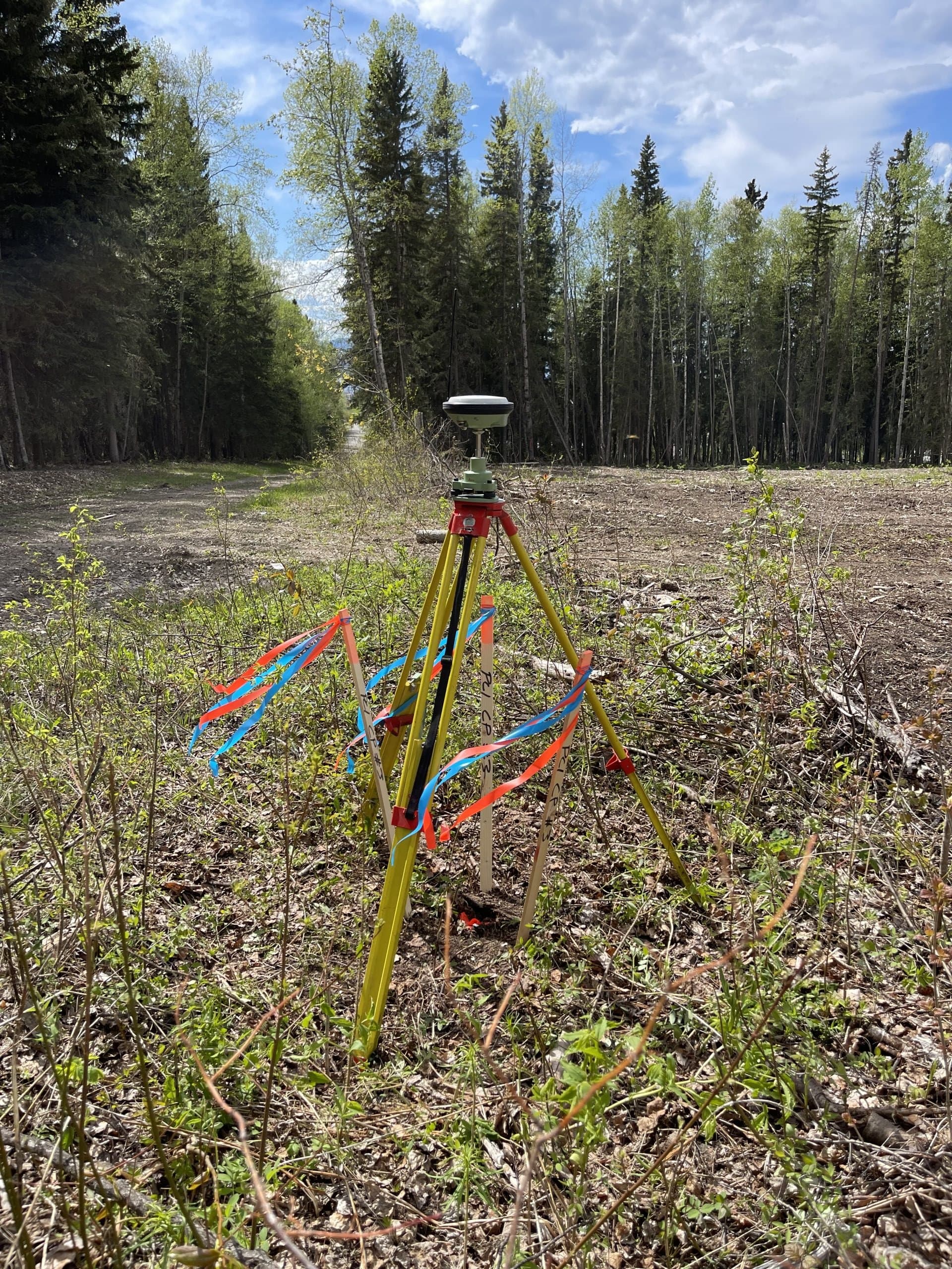
Topographic Surveys
Existing-condition and site surveys that give engineers and planners the accurate ground picture design starts from.
Learn More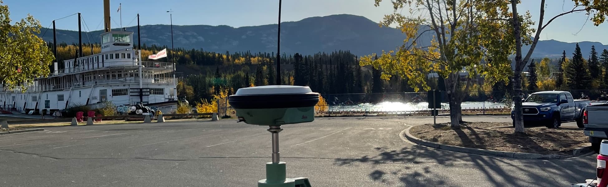
As-Built Surveys
Accurate record surveys of what was actually built — for engineering acceptance, municipal turnover, QA/QC and project closeout.
Learn More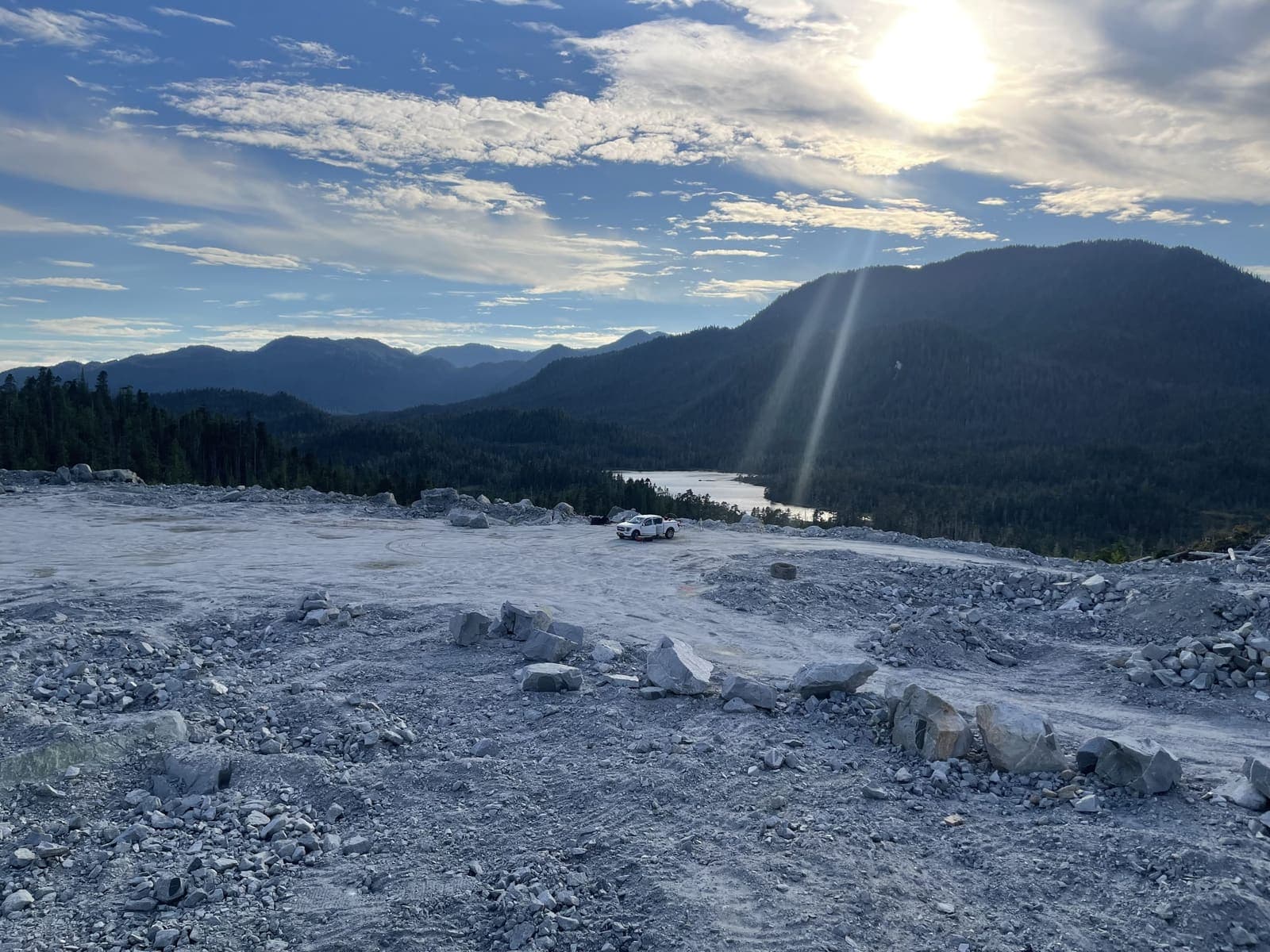
Earthworks & Volume Surveys
Stockpile, cut-and-fill and progress volumes measured properly — defensible numbers for payment, planning and inventory.
Learn More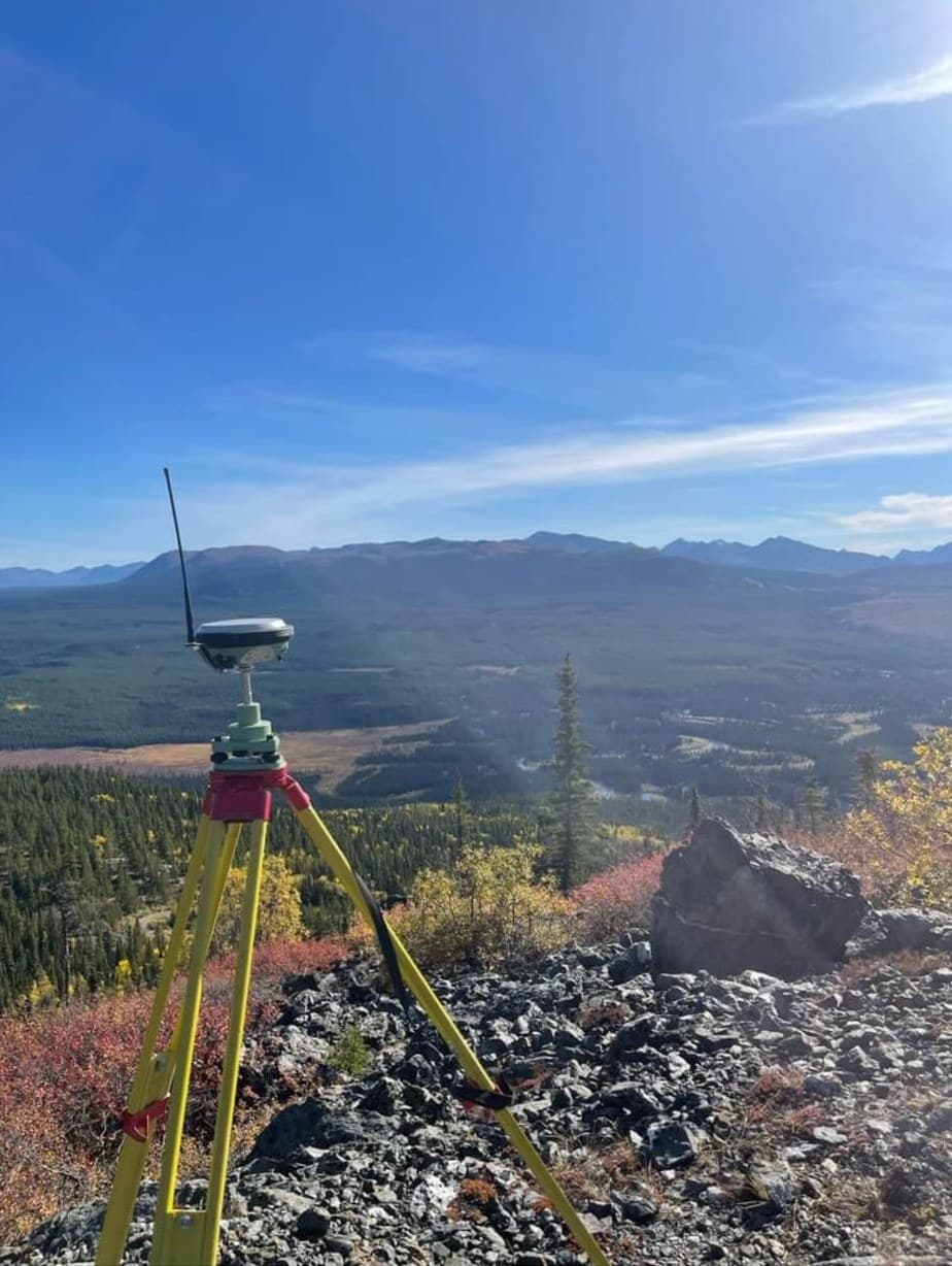
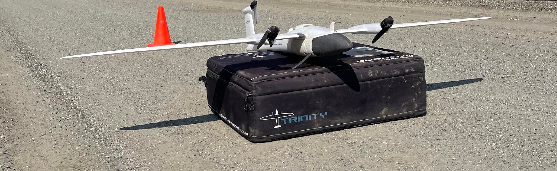
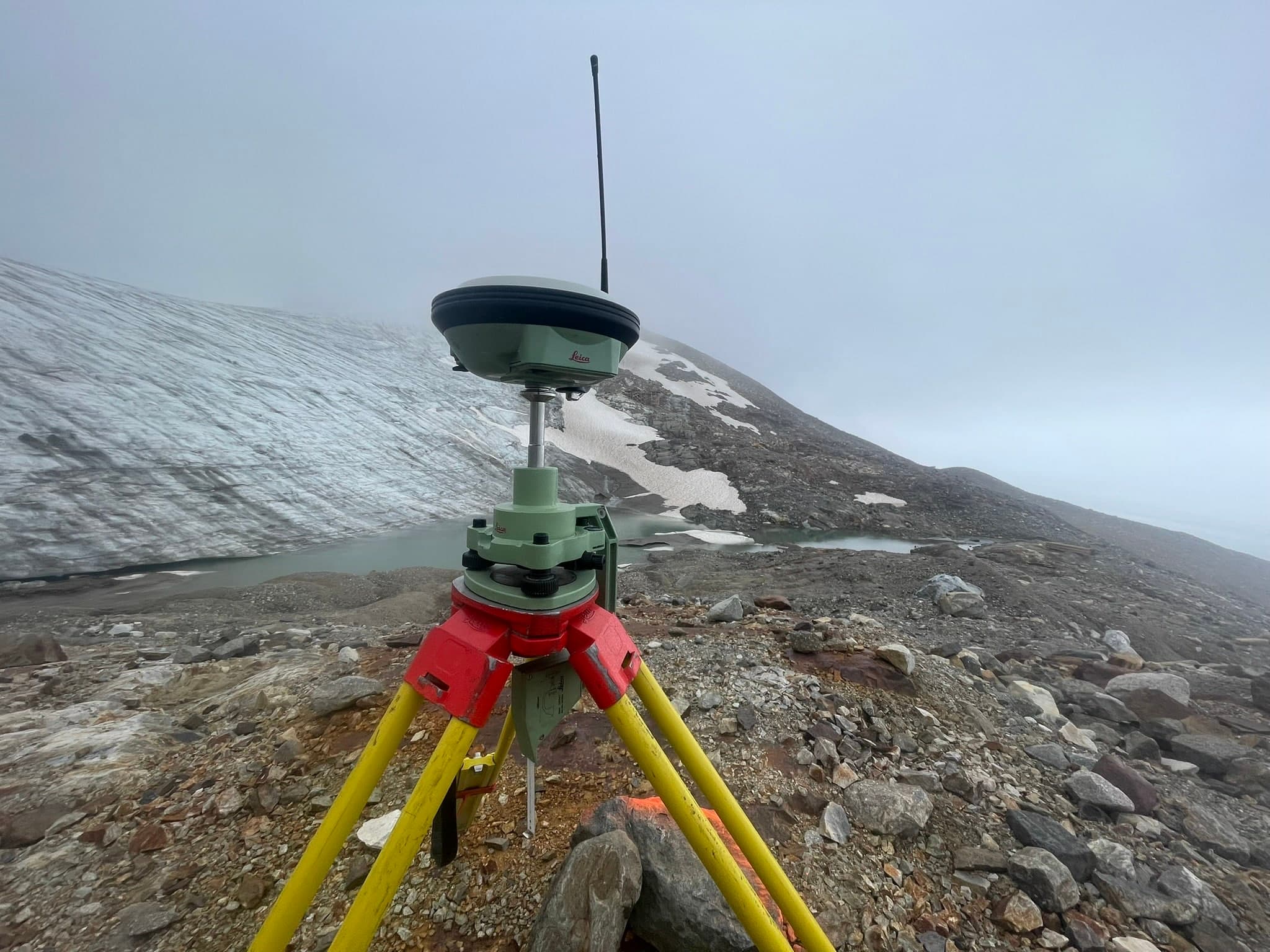
Mining Surveying
Survey support for mines and exploration projects — control, volumes, LiDAR topography, stakeouts and reclamation documentation in demanding terrain.
Learn MorePCI Surveys provides construction, engineering and geospatial survey support — accurate field data and deliverables for building, civil, industrial and resource projects.
Ready to get started?
Describe your project and watch your price appear — most jobs can be quoted, booked and paid online in minutes, any hour, any day.
Prefer to talk? 6 a.m. – 7 p.m., 7 days a week.
- Prince George(778) 764-1626
- Edmonton(587) 400-1260
- Vancouver(604) 800-8708
- Whitehorse(867) 322-3453