PCI Surveys performing ground penetrating radar services.

GROUND PENETRATING RADAR

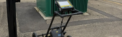
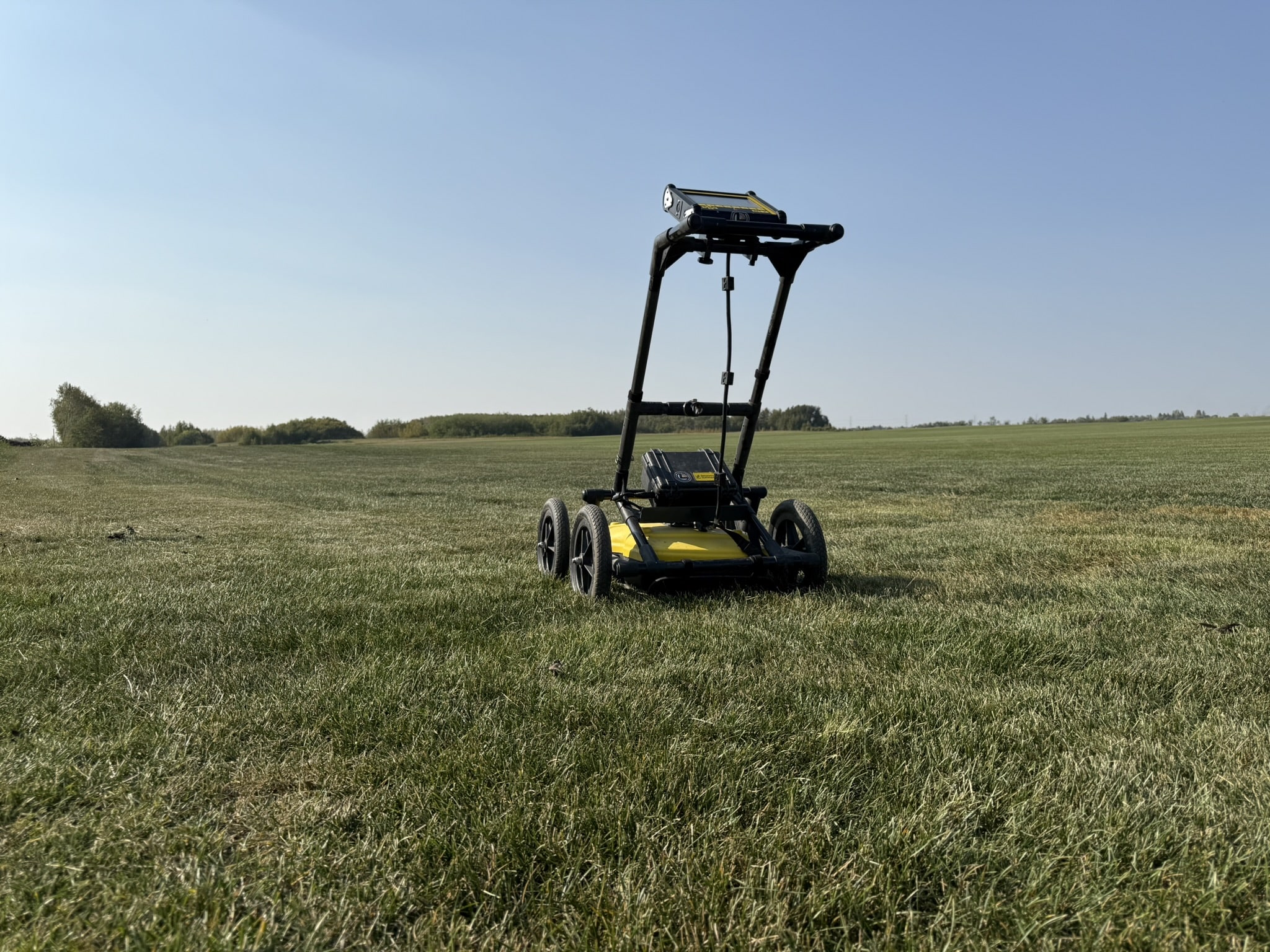
We use Ground Penetrating Radar (GPR) to scan subsurface structures, detect buried utilities, and identify voids or anomalies. Ideal for construction, environmental, and geotechnical projects across Alberta, British Columbia, Vancouver Island, and the Yukon. Offices in Vancouver, Edmonton, Prince George, and Whitehorse.

Your Local Ground Penetrating Radar Company

GPR in BC, Yukon and Alberta

Private Utility Line Locating Icon
Private Line Locating for Environmental Drilling Projects
Private line locating for civil engineering projects.

PCI Surveys provides professional ground penetrating radar (GPR) services throughout Alberta, BC, Vancouver Island, and the Yukon. GPR is ideal for scanning beneath the surface to locate utilities, voids, rebar, and buried structures without excavation. Our experienced team uses high-resolution radar systems to support construction, environmental, geotechnical, and archaeological projects with accurate subsurface data.

PCI Surveys performing ground penetrating radar services for a government organization.

GPR Subsurface Locating & Analysis

PCI Surveys provides Ground Penetrating Radar (GPR) services across Alberta, British Columbia, Vancouver Island, and the Yukon for residential, commercial, and industrial projects. With offices in Edmonton, Vancouver, Prince George, Whitehorse, and Dawson City, our team delivers accurate subsurface data using high-resolution GPR systems. We locate buried utilities, rebar, tanks, voids, and other subsurface features without excavation. Whether you’re scanning concrete, investigating a construction site, or conducting environmental or archaeological assessments, our non-destructive GPR imaging helps reduce risks, prevent delays, and improve project planning. We work with engineers, contractors, and developers to provide clear, reliable subsurface information that supports safe and efficient operations.

  • Concrete Scanning – Locating rebar, post-tension cables, and conduits in concrete slabs and walls.

  • Void Detection – Identifying air pockets or subsurface voids that may affect structural stability.

  • Utility Locating with GPR – Scanning for non-metallic pipes and utilities where traditional methods fall short.

  • Subsurface Anomaly Detection – Finding irregularities beneath the surface for risk mitigation.

  • Grave and Burial Site Locating – Non-invasive imaging for historical or unmarked graves.
  • Frost Depth Surveys – Measuring frost penetration depth for infrastructure and soil studies.

  • Environmental Site Assessments – Supporting Phase I & II ESA investigations with subsurface data.
  • Environmental Site Assessments – Supporting Phase I & II ESA investigations with subsurface data.
  • Archaeological Survey Support – Imaging buried features without disturbing sensitive historical sites.

  • Tank and Drum Locating – Detecting buried fuel tanks, septic systems, or hazardous containers.

  • Slab Thickness Measurement – Verifying concrete thickness across scanned areas.
  • Bedrock Mapping – Identifying bedrock depth and profile for placer mining and excavation planning.

  • Geotechnical Investigations – Supporting soil stability and structural assessments with subsurface radar data.

  • Slope Stability Surveys – Mapping subsurface conditions in areas prone to shifting or erosion.

  • Roadbed & Pavement Assessments – Evaluating layer thickness, voids, and water intrusion in road structures.

  • Bridge Deck Scanning – Inspecting bridge deck conditions for rebar placement, delamination, and voids.

  • Landfill Boundary Mapping – Locating edges and buried waste zones for environmental management.

  • Tunnel and Void Locating – Detecting underground tunnels, crawlspaces, or abandoned infrastructure.

We provide reliable and cost-effective ground penetrating radar services across Western Canada.

Locating marks after using GPR to locate power and telephone lines.
Locating a waterline using ground penetrating radar on a site under construction.
Using ground penetrating radar on an environmental project to clear the drill hole locations before drilling.