DRONE AND LIDAR SURVEYING
FOR MINING, CIVIL, AND OIL & GAS
Our drone and LiDAR services provide mapping, surface analysis, and bare Earth modeling for mining, civil engineering, oil and gas, and environmental projects across BC, Alberta, and Yukon. We are your Western Canada LiDAR provider.
Drone and LiDAR Solutions for Civil Engineering and Mining
Advanced Drone and LiDAR Surveying


At PCI Surveys, we offer Drone and LiDAR surveying services across BC, Alberta, and Yukon, delivering accurate data for construction, mining, and environmental projects. Using advanced drone technology and high-precision LiDAR, we capture detailed information on terrain, elevations, and site conditions to help architects, engineers, and project managers make informed decisions. Our aerial surveying solutions improve project planning, support safe and efficient mining operations, and assist with environmental assessments such as flood mapping and land use planning. Trust PCI Surveys for reliable data collection that drives successful projects across Western Canada.
Precision Drone and LiDAR Surveys
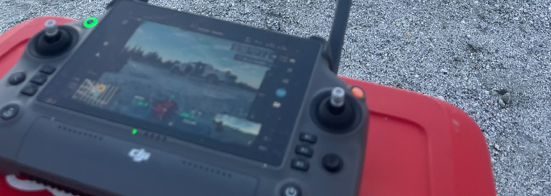
PCI Surveys provides high-accuracy drone and LiDAR surveying across Alberta, British Columbia, and Yukon, using industry-leading technology to capture precise terrain data. For high-detail projects, we deploy the DJI M350 with the L2 LiDAR sensor, delivering point clouds at 0.050 and 1.000 resolutions for bare earth surfaces, vegetation, and infrastructure mapping. For larger-scale surveys, we utilize the Quantum Systems Trinity Pro, ensuring efficient data collection over extensive areas. Whether you need DEM, DTM, or advanced 3D modeling, our solutions support construction, mining, and environmental applications with the accuracy needed for informed decision-making in design and planning.
We offer reliable drone and LiDAR surveying solutions tailored to your project needs across Western Canada.


