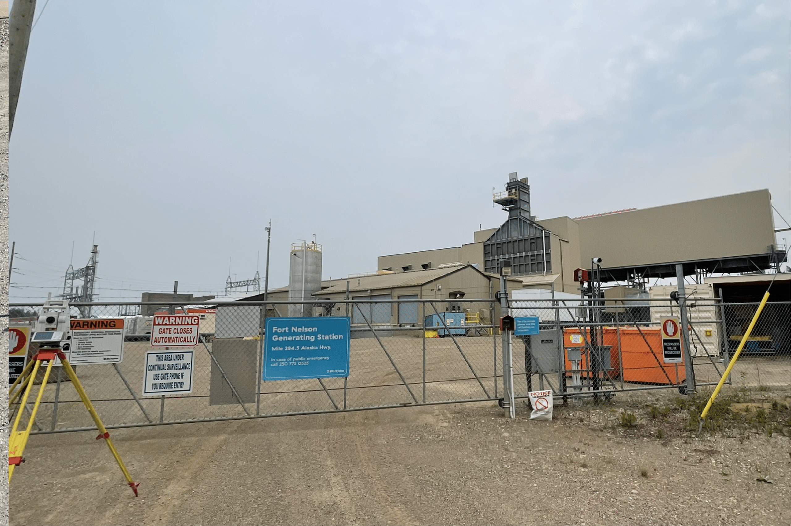
Surveyors in Northern BC
Precision surveying for construction, mining, and environmental projects
Northern British Columbia is home to some of Canada’s most resource-rich and rapidly developing regions. With large-scale construction, mining, and infrastructure projects driving economic growth, professional surveying services are essential to ensure accurate planning and execution. At PCI Surveys, we specialize in providing reliable and precise surveying solutions for projects across Prince George, Fort St. John, Dawson Creek, Terrace, and other northern communities.
The Importance of Quality Surveying in Northern BC
Surveying plays a critical role in various industries across Northern BC, from resource development to environmental conservation. The unique geography of the region—dense forests, mountainous terrain, and remote work sites—presents challenges that require specialized expertise and equipment.
At PCI Surveys, we bring decades of experience in surveying for the construction, mining, and environmental sectors, delivering high-accuracy results that help our clients complete projects on time and within budget.
Our Surveying Services in Northern BC
Construction Surveying for Northern Projects
From industrial sites to large-scale commercial developments, our construction surveying services ensure that all structures are built according to plan. We work closely with contractors, engineers, and project managers to provide precise layouts and measurements.
- Gridline and Benchmark Establishment – Ensuring accurate reference points for construction.
- Foundation and Footing Surveys – Layouts for structural integrity and proper placement.
- Wall, Column, and Slab Surveys – Verifying critical elements of construction projects.
- As-Built Surveys – Ensuring completed structures match design specifications.
Mining & Exploration Surveys
Northern BC is home to some of Canada’s most significant mining operations, from gold and copper mines to exploration projects seeking new resources. Our surveying expertise supports mining companies with:
- Topographic Mapping – Accurate mapping of terrain for mining site planning.
- Stockpile and Volume Calculations – Helping companies track material quantities efficiently.
- Exploration Surveys – Supporting geologists and mining engineers with precise site data.
Using advanced drone technology, LiDAR, and GNSS receivers, we provide high-resolution mapping of mining sites, even in remote and difficult-to-access locations.
Environmental & Terrain Mapping
With Northern BC’s diverse landscapes and vast natural resources, environmental monitoring and terrain mapping are crucial for development projects. PCI Surveys assists in:
- LiDAR Terrain Modeling – High-resolution 3D models for land-use planning.
- Wetland and Watershed Surveys – Supporting environmental assessments.
- Slope Stability and Erosion Monitoring – Ensuring infrastructure safety in challenging terrain.
For projects that require regulatory compliance, we provide precise data to support environmental impact assessments and long-term land-use planning.
Advanced Surveying Technology for Northern BC
PCI Surveys stays ahead of the industry by using state-of-the-art equipment to enhance accuracy and efficiency. Our technology includes:
- LiDAR Scanning – Generates highly detailed terrain models, perfect for mining and construction sites.
- Drone Photogrammetry – Captures aerial imagery and site data faster than traditional methods.
- GNSS Surveying – Ensures pinpoint accuracy even in remote locations.
- Ground Penetrating Radar (GPR) – Identifies underground utilities, structures, and geophysical features.
Our use of cutting-edge survey tools allows us to complete projects with precision, reducing costly delays and rework.
Why Choose PCI Surveys for Northern BC Surveying?
- Experience in Northern BC – We understand the challenges of working in remote locations, from logistical planning to extreme weather conditions.
- Fast and Reliable Data Collection – Our survey teams use efficient workflows to minimize downtime and provide fast turnarounds.
- Compliance and Accuracy – We adhere to industry regulations and best practices, ensuring reliable survey data.
- Custom Solutions for Any Project – Whether it’s a small-scale development or a multi-million-dollar project, we tailor our services to meet specific needs.
Serving Northern BC’s Key Regions
PCI Surveys is proud to serve clients across Northern British Columbia, including:
- Prince George – The gateway to the North and a hub for construction and resource industries.
- Fort St. John – A major center for oil and gas, requiring precision surveying for infrastructure projects.
- Dawson Creek – Supporting agriculture, industry, and energy sector developments.
- Terrace & Kitimat – Growing industrial regions with increasing demand for surveying services.
- Mackenzie, Tumbler Ridge, and Chetwynd – Key areas for forestry, mining, and hydroelectric projects.
Wherever your project is located, we bring the expertise and technology to deliver high-quality results.
Contact PCI Surveys – Prince George, BC
If you’re planning a construction, mining, or environmental project in Northern BC, accurate surveying is the foundation for success. PCI Surveys is committed to providing precise, reliable, and efficient surveying services to keep your project moving forward. We are a proud member of the Prince George Chamber of Commerce
📍 PCI Surveys – Prince George, BC
📍 1299 3rd Avenue, Prince George, BC, V2L 3E6
📞 (778) 764-1626
📧 bc@pcisurveys.ca
Trust PCI Surveys for expert surveying in Northern BC!


