Drone Surveyors in Northern BC
High-Accuracy Aerial Surveys for Construction, Mining, Environmental, Forestry, and Oil & Gas Projects
Surveying in Northern BC presents unique challenges, from vast remote landscapes to difficult terrain. That’s why PCI Surveys provides advanced drone surveying solutions to deliver fast, accurate, and cost-effective data for construction, mining, and environmental projects.
If you’re looking for a drone surveyor in Northern BC or a team of drone surveyors in Northern BC, our cutting-edge technology and industry expertise ensure high-accuracy results tailored to your project needs.
Why Use Drone Surveying in Northern BC?
Our drones, equipped with LiDAR and photogrammetry sensors, provide high-resolution geospatial data quickly and efficiently. Compared to traditional survey methods, drone surveying is faster, more cost-effective, and highly accurate, making it ideal for remote locations such as Prince George, Fort St. John, Dawson Creek, Terrace, Smithers, Kitimat, and beyond.
Industries We Serve in Northern BC
- Construction – Earthworks verification, site planning, and grading checks.
- Mining – Stockpile volume calculations, pit mapping, and exploration planning.
- Forestry & Environmental – Vegetation analysis, reclamation monitoring, and terrain modeling.
- Oil & Gas – Pipeline route planning, right-of-way assessments, and environmental impact studies.
Serving All of Northern BC: Towns and Communities We Cover
PCI Surveys provides drone surveying services across all of Northern BC, including:
- Prince George – The largest city in the north, a hub for construction and forestry.
- Fort St. John & Dawson Creek – Major centers for oil and gas.
- Terrace & Kitimat – Industrial and infrastructure growth zones in northwest BC.
- Smithers & Houston – Key areas for mining, forestry, and environmental projects.
- Quesnel & Vanderhoof – Expanding construction and agricultural communities.
- Chetwynd & Tumbler Ridge – Home to significant energy and resource projects.
- Prince Rupert & Stewart – Critical port cities for trade and infrastructure projects.
- Mackenzie, Burns Lake, Dease Lake & Atlin – Remote communities where drone surveying delivers high-accuracy results at lower costs.
Advanced Drone Surveying Technology
PCI Surveys uses state-of-the-art drones to capture accurate data across large and difficult-to-access areas, including:
- DJI Matrice 350 RTK with the L2 LiDAR sensor for precise 3D mapping.
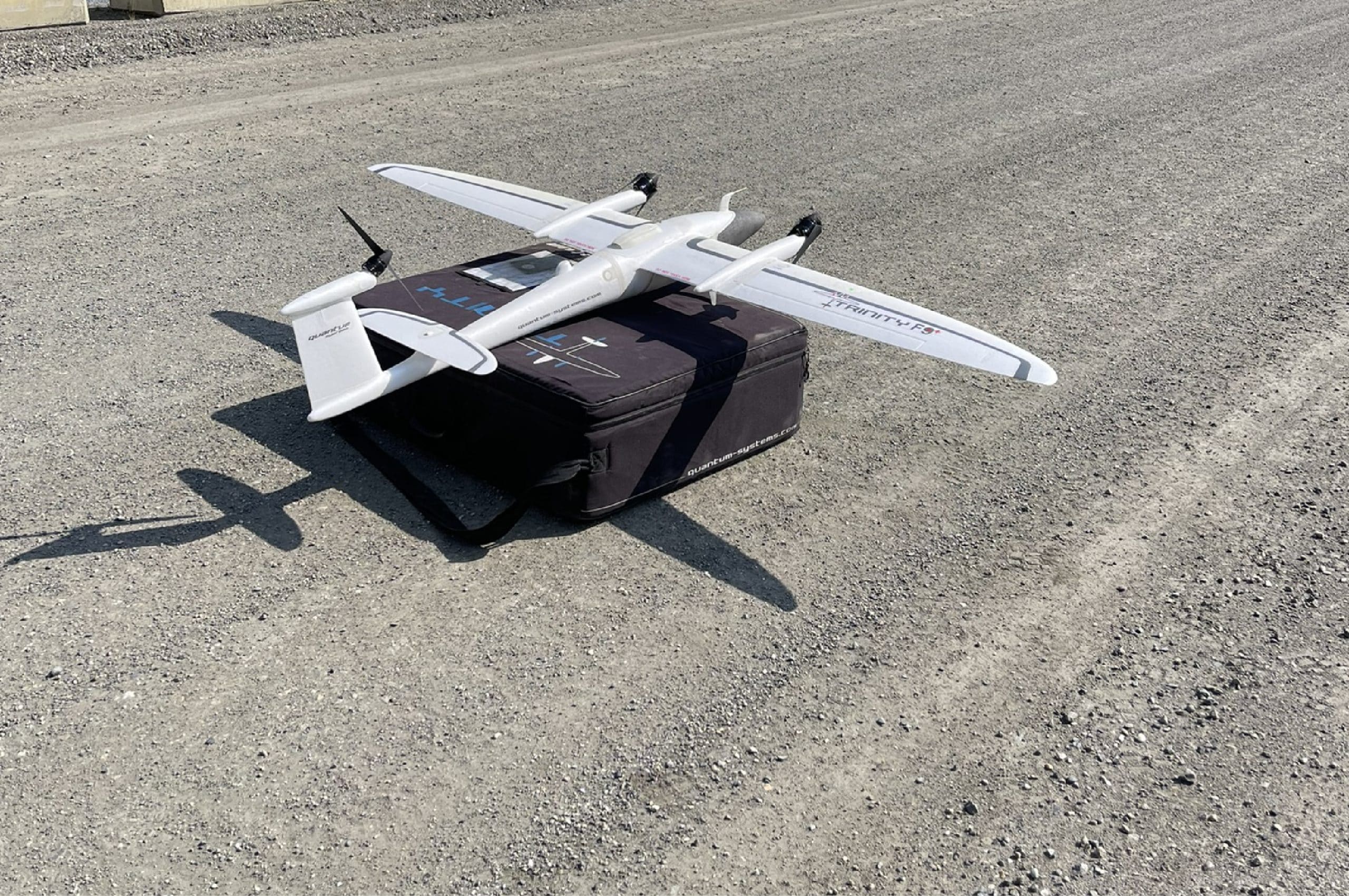
- Quantum Systems Trinity Pro for long-range LiDAR and photogrammetry surveys.
- High-resolution aerial imaging for orthophotos, topographic maps, and terrain models.
Why Choose PCI Surveys for Drone Surveys in Northern BC?
- ✅ Rapid Data Collection – Survey large areas in a fraction of the time.
- ✅ Centimeter-Level Accuracy – RTK/PPK-enabled drones for precise measurements.
- ✅ Cost Savings – Fewer field hours mean lower operational costs.
- ✅ Safe & Efficient – Reduce risks associated with hazardous surveying locations.
Looking for a Drone Surveyor in Northern BC? Contact PCI Surveys Today!
PCI Surveys is Northern BC’s trusted drone surveying company, providing high-quality LiDAR mapping, topographic surveys, and aerial imaging. Whether your project is in Prince George, Fort St. John, Dawson Creek, Terrace, Smithers, Kitimat, or beyond, we have the expertise and technology to support your project. PCI Surveys is a proud member of the Prince George Chamber of Commerce.
📍 PCI Surveys – Prince George, BC
📍 1299 3rd Avenue, Prince George, BC, V2L 3E6
📞 (778) 764-1626
📧 bc@pcisurveys.ca
Contact us today to discuss your project and request a quote!


