

Drone & LiDAR Surveys - Prince George to Prince Rupert
Precision Aerial Drone LiDAR Mapping for BC’s North
Accurate and efficient surveying is essential for industries across Northern British Columbia. Our Drone and LiDAR aerial surveys provide high-resolution mapping and data collection services in Prince George, Terrace, Smithers, and Prince Rupert. Whether for construction, mining, or environmental applications, we deliver precise results with minimal disruption.
High-Precision Aerial LiDAR Mapping
Our advanced aerial LiDAR technology captures detailed topographic data, even in dense vegetation or challenging terrain. The high-accuracy models generated from our surveys support a range of projects, from infrastructure planning to forestry management.
Bare Earth Surface Modeling
With our bare earth surface modeling, we can remove vegetation and structures to reveal true ground elevations. This is critical for flood mapping, land stability assessments, and construction planning.
Topographic Data Collection
We generate high-density point clouds and detailed digital elevation models (DEMs), ensuring that industries receive accurate and reliable data for their projects.
Construction and Mining Aerial Survey Solutions
From site preparation to volume calculations, our drone aerial surveys assist construction and mining companies in achieving accurate project measurements. LiDAR enhances ground surface analysis, ensuring reliable data for planning and execution.
Volume Calculations
Our LiDAR surveys provide precise volume measurements for stockpiles, cut-and-fill analysis, and excavation planning, helping construction and mining operations optimize their workflows.
Site Planning & Progress Monitoring
Regular drone surveys help track site development, ensuring that projects stay on schedule and meet design specifications.
Environmental and Terrain Analysis
Our aerial LiDAR surveys support environmental monitoring, floodplain mapping, and land stability assessments. We help identify potential hazards, track changes over time, and provide the necessary data for informed decision-making.
Vegetation and Land Cover Analysis
Our LiDAR data can penetrate vegetation to analyze terrain beneath forested areas, helping with forestry management, environmental conservation, and land use planning.
Floodplain and Erosion Mapping
We deliver accurate hydrological and geomorphological data, helping assess flood risks and soil erosion in vulnerable regions.
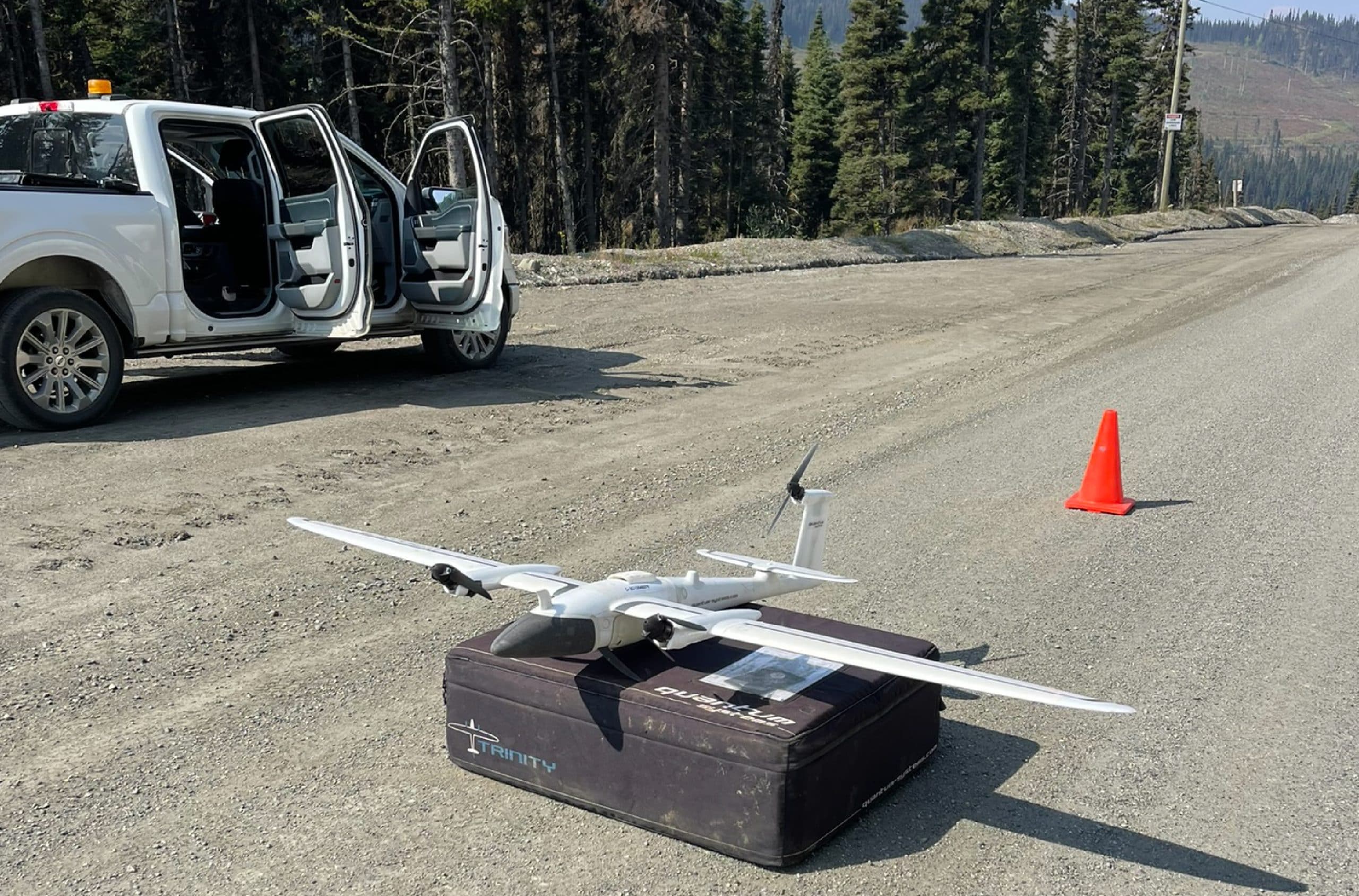
Efficient Aerial Data Collection with Drone Technology
Traditional surveying methods can be time-consuming and costly. Our drone-mounted LiDAR systems capture extensive aerial data quickly and safely, reducing field time while improving accuracy and efficiency.
High-Resolution Aerial Imaging
We integrate LiDAR data with high-resolution aerial imagery to create detailed and accurate site maps for better planning and analysis.
Time & Cost Efficiency
By using drones, we significantly reduce the time and labor required for surveying, delivering high-quality results faster than traditional methods.
Why Choose Our Aerial LiDAR Surveying Services?
We specialize in delivering high-precision aerial LiDAR and drone surveys tailored to the needs of industries in Prince George, Terrace, Smithers, and Prince Rupert. All of our pilots are Transport Canada approved for Advanced Operations.
Fast Turnaround & Detailed Reporting
Our team ensures quick data processing and reporting, providing clear insights that meet the demands of complex projects.
Industries We Serve
- Construction and Engineering
- Mining and Natural Resources
- Environmental and Land Management
- Forestry and Agriculture
Get Started with Our LiDAR Surveys
Contact us today to learn how our advanced drone and LiDAR solutions can help streamline your projects with precise aerial data.
Contact PCI Surveys – Prince George
PRINCE GEORGE
PCI SURVEYS
1299 3rd Avenue
Prince George, BC
V2L 3E6
Telephone: (778) 764-1626
Email: bc@pcisurveys.ca